NH Section 4 Pictures - Milemarker 0.0 - 4.9
US 302 - Shoal Pond Trail
Move your mouse across the pictures for more information.
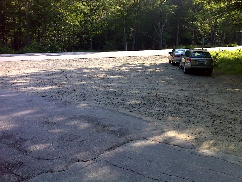
mm 0.0 Intersection of Willey Station Road and US 302 in Crawford Notch State Park. Note that parking is available. The northbound trail (to Section 3) crosses road and enters woods. The southbound trail (to Section 4) follows Willey Station Road. GPS N44.1707 W71.3882
Submitted by pjwetzel @ gmail.com
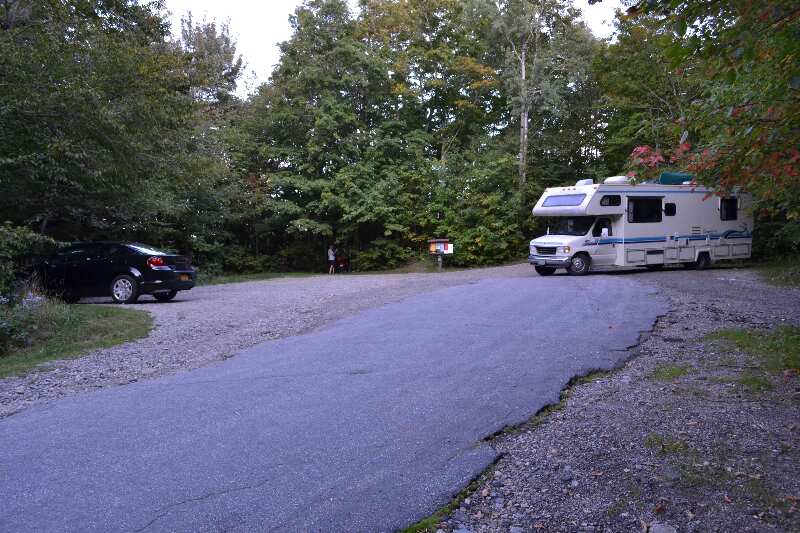
mm 0.3 - Parking at Crawford Notch State Park off of Rt 302 just south of Willey House Station Rd GPS N44.16707 W71.38642
Submitted by at @ rohland.org
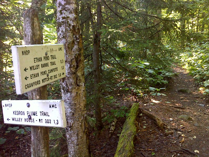
mm 1.6 Junction with the Kedron Flume Trail. GPS N44.1727 W71.4046
Submitted by pjwetzel @ gmail.com

mm 1.9 Junction with the Willey Range Trail. GPS N44.1753 W71.4089
Submitted by pjwetzel @ gmail.com
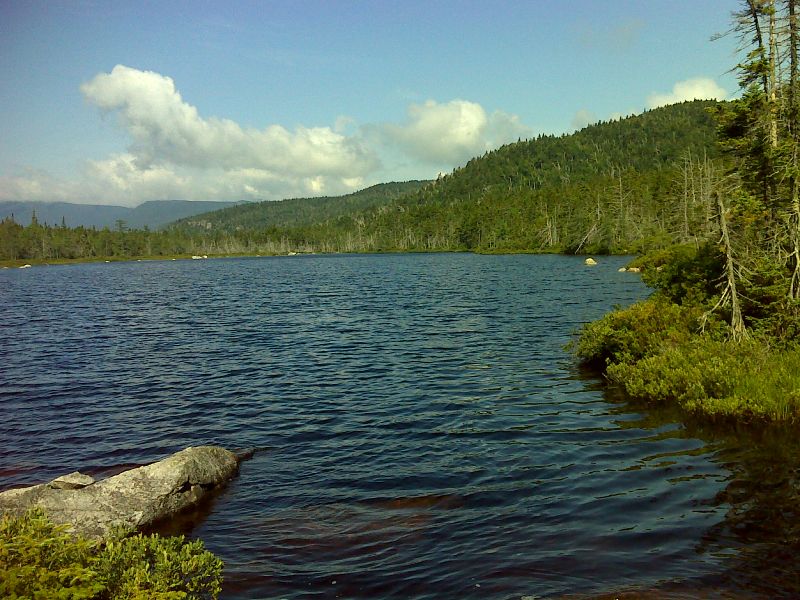
mm 2.9 Ethan Pond GPS 44.1768 W71.4273
Submitted by pjwetzel @ gmail.com
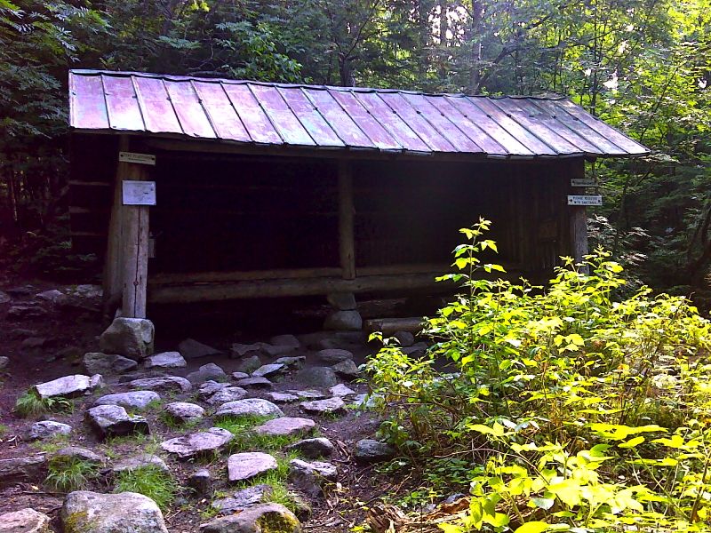
mm 2.9 Ethan Pond Shelter GPS 44.1772 W71.4270
Submitted by pjwetzel @ gmail.com
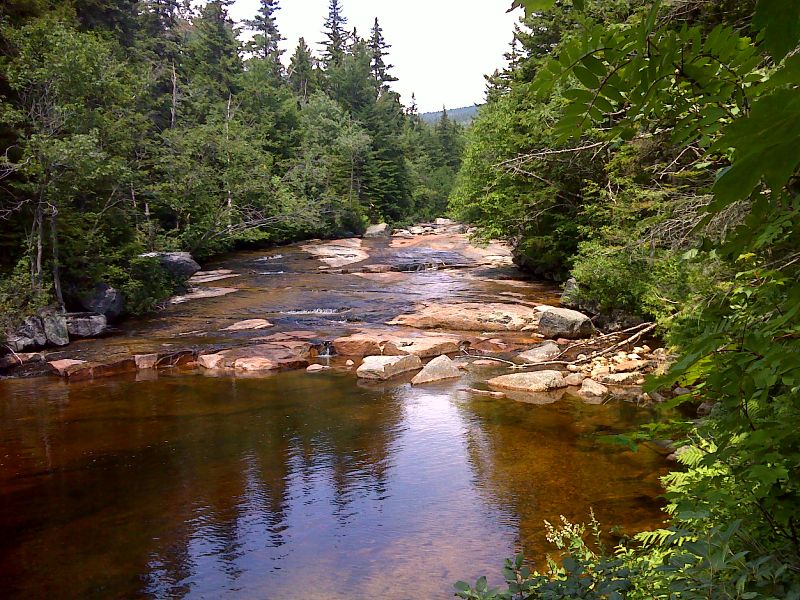
The North Fork of the Pemigewasset River travels over smooth bedrock. GPS 44.1704 W71.4601
Submitted by pjwetzel @ gmail.com
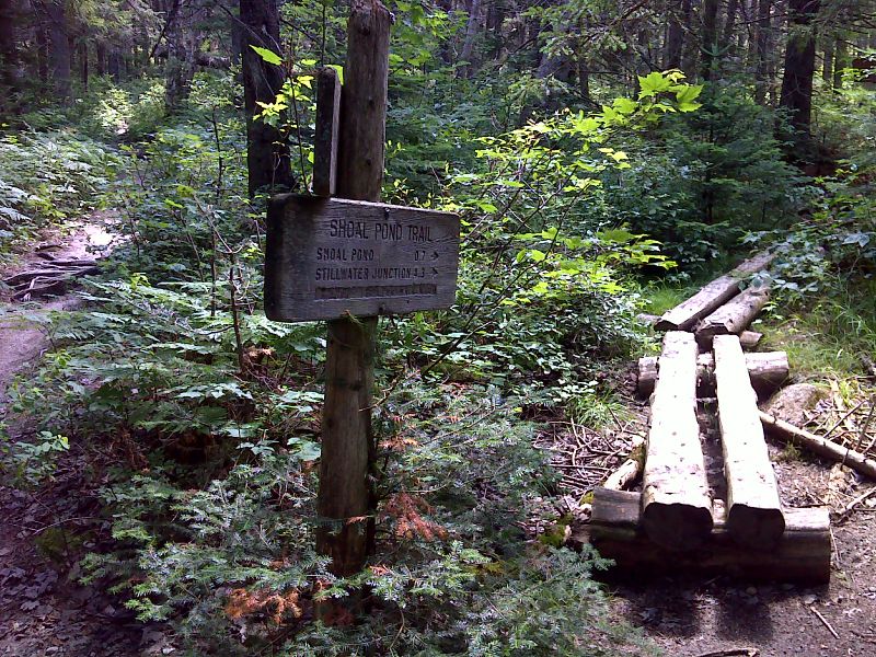
mm 4.9 Junction with the Shoal Pond Trail. GPS 44.1700 W71.4615
Submitted by pjwetzel @ gmail.com