NH Section 4 Pictures - Milemarker 23.0 - 27.7
Little Haystack - Bike Path in Franconia Notch
Move your mouse across the pictures for more information.
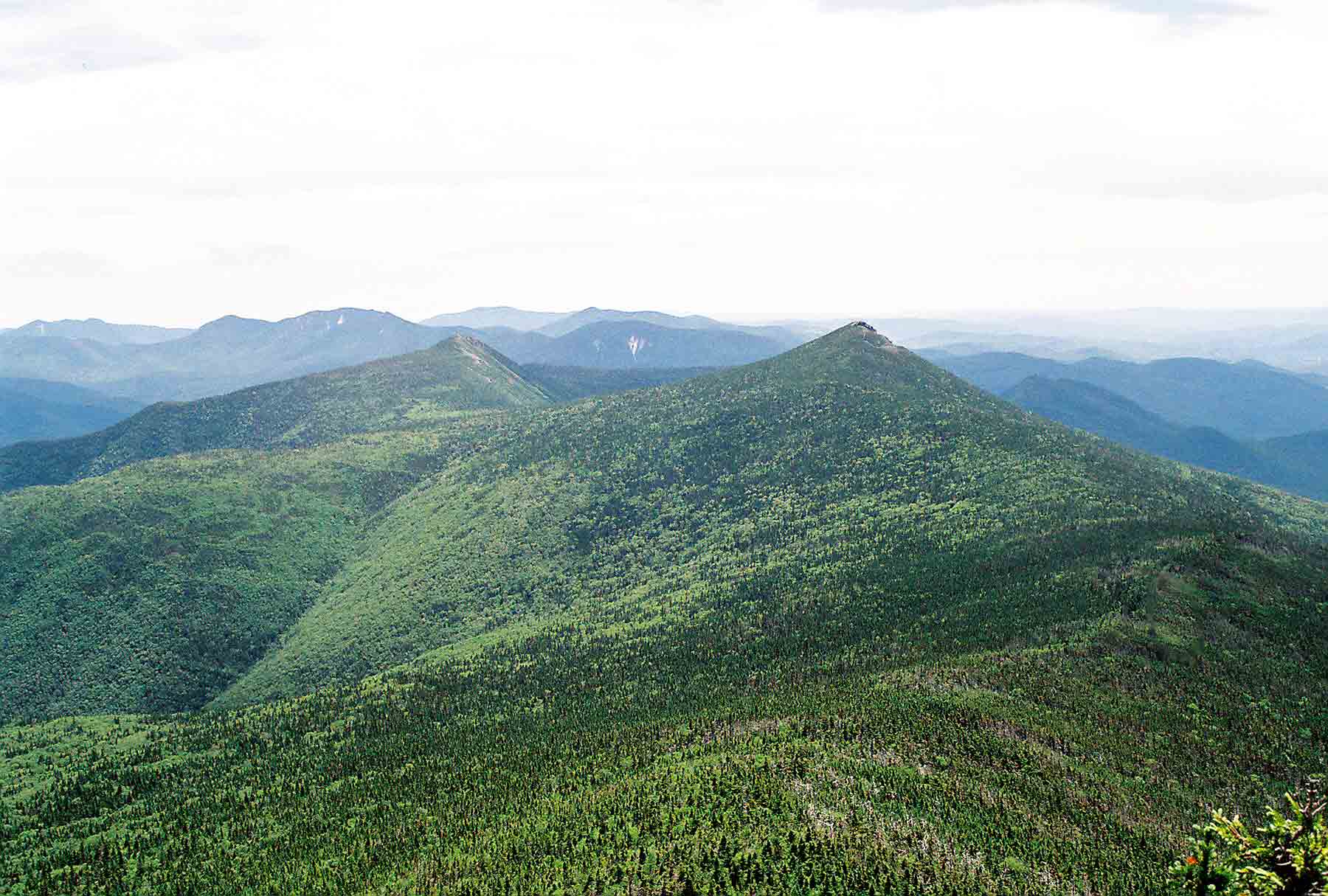
mm 23.0 - South from Little Haystack. The southbound AT drops below tree line and follows the ridge to just north of Mt. Liberty (closer of the two conical mountains) then descends into Franconia notch on the right. The other conical mountain is Mt. Flume.
Submitted by dlcul @ conncoll.edu
mm 23.0 - Beginning the descent on the southbound AT from Little Haystack. The trail follows the ridge finally going west 0.3 miles from the summit of Mt. Liberty (the closer peak). The trail then descends into Franconia Notch.
Submitted by seqatt.net @ sbcglobal.net
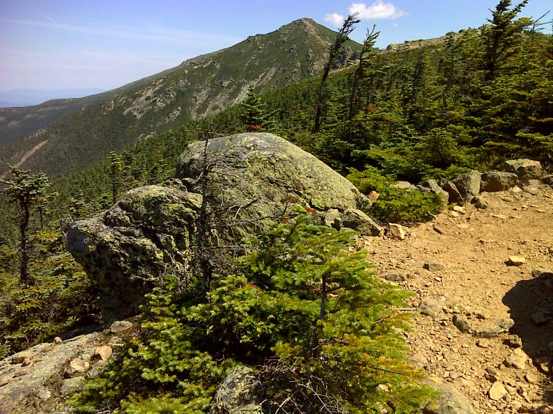
Little Haystack Mt. and Mt. Lincoln from near tree line. Taken at approx. mm 23.2. GPS N44.1387 W71.6471
Submitted by pjwetzel @ gmail.com
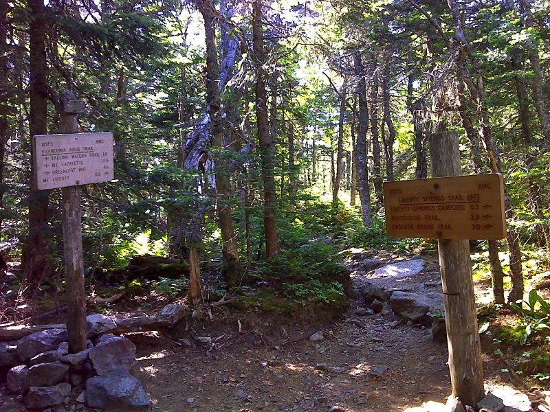
mm 24.8 At the crest of Franconia ridge, the northbound trail turns off the Liberty Spring Trail and follows the Franconia Ridge Trail towards Mt. Lafayette. GPS N44.1189 W71.6432
Submitted by pjwetzel @ gmail.com
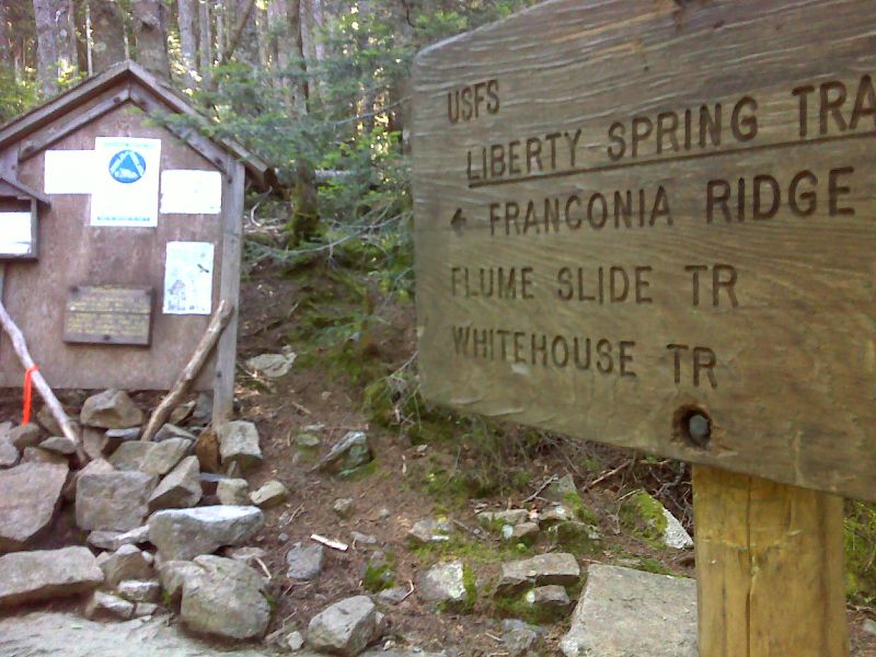
mm 25.1 Entrance to Liberty Spring Camping Area. GPS N44.1171 W71.6471
Submitted by pjwetzel @ gmail.com
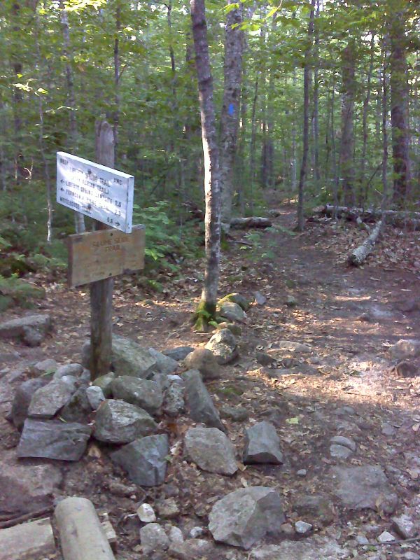
mm 27.1 Junction with the Flume Slide Trail. GPS N44.1124 W71.6757
Submitted by pjwetzel @ gmail.com
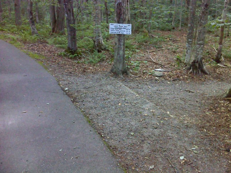
mm 27.7 The northbound AT leaves the bike path in Franconia Notch and begins the 2700 foot climb to the crest of the Franconia Ridge via the Liberty Spring Trail. GPS N44.1124 W71.6757
Submitted by pjwetzel @ gmail.com