NH Section 4 Pictures - Milemarker 5.2 - 7.5
North Fork Footbridge - Zealand/ Twinway Junction
Move your mouse across the pictures for more information.
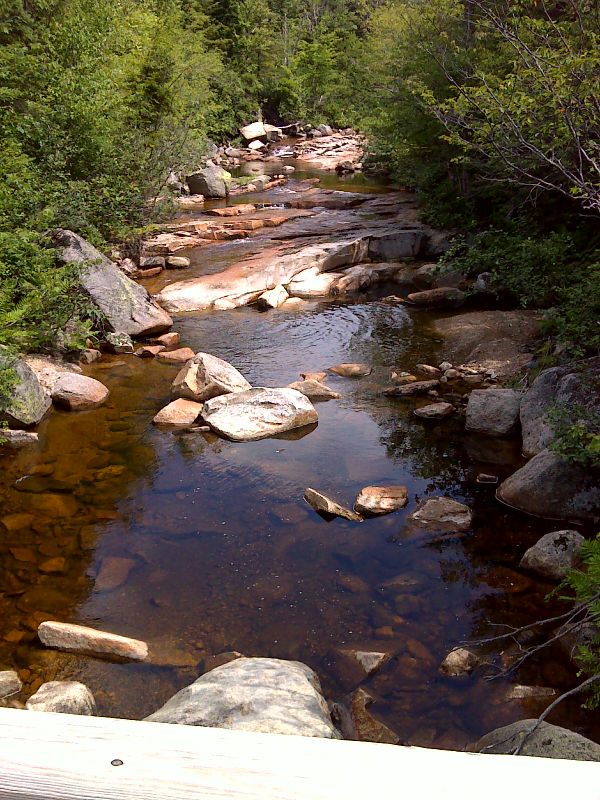
mm 5.2 View of the North Fork from footbridge. GPS N44.1700 W71.4671
Submitted by pjwetzel @ gmail.com
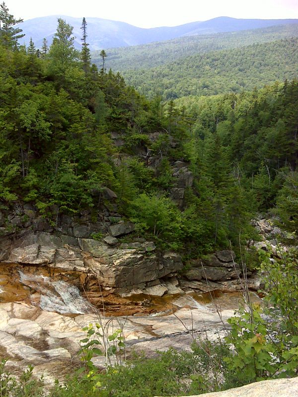
Thoreau Falls Vista. Taken at approx. mm 5.4. GPS N44.1694 W71.4722
Submitted by pjwetzel @ gmail.com

View north up Zealand Notch. Taken at approx. Mile 6.2
Submitted by dlcul @ conncoll.edu
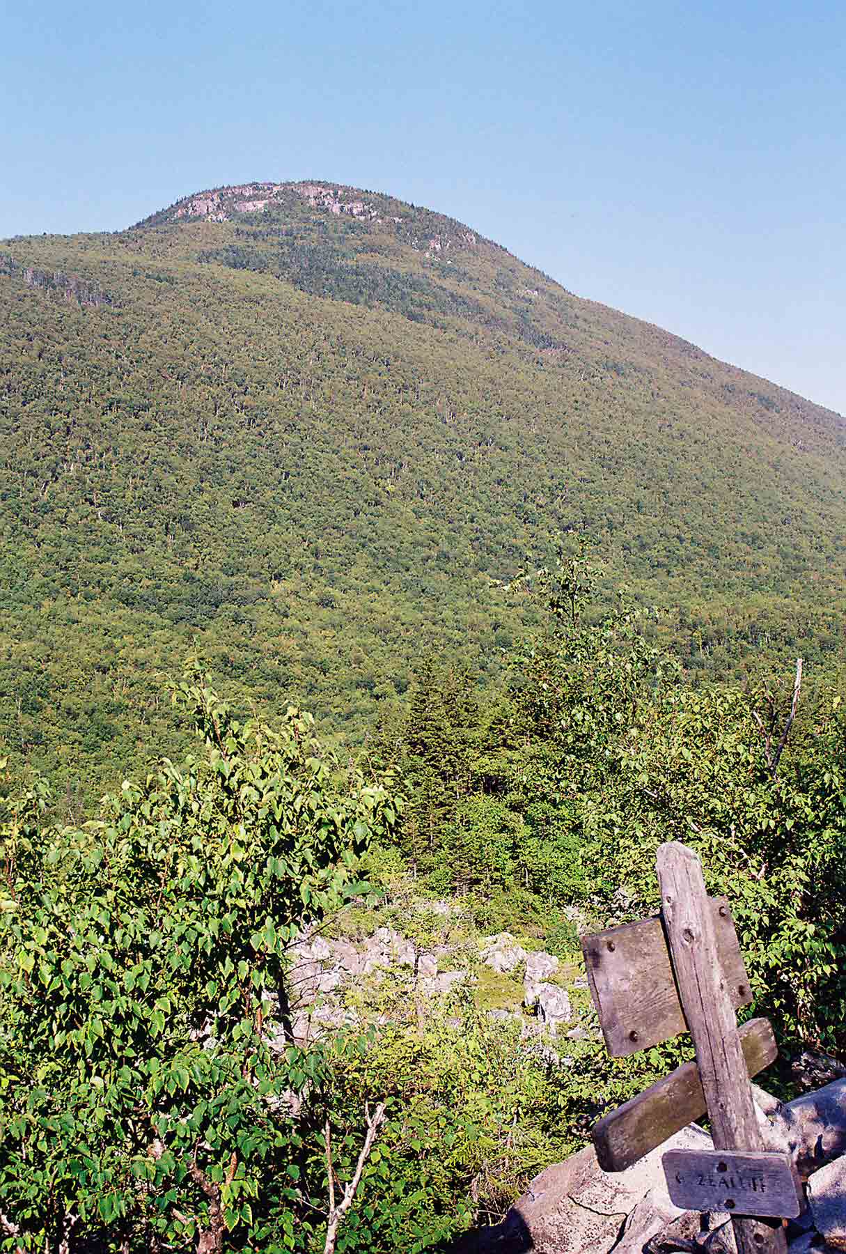
mm 6.2 - Zeacliff (east end of Zealand Mt) as seen from junction of AT (Ethan Pond Trail) and the Zeacliff Trail.
Submitted by dlcul @ conncoll.edu
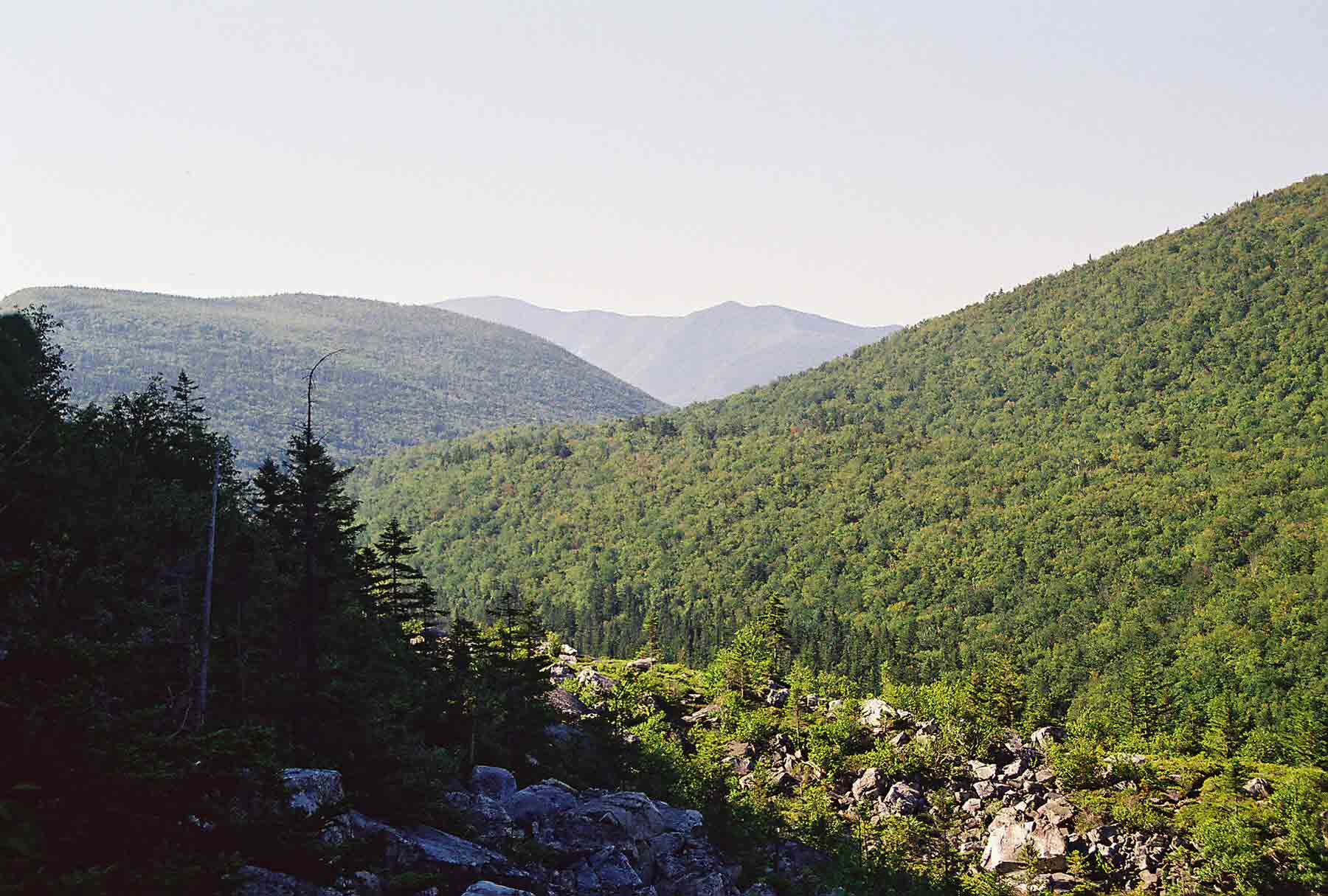
mm 6.2 - View south through Zealand Notch from junction of AT (Ethan Pond Trail) and the Zeacliff Trail
Submitted by dlcul @ conncoll.edu
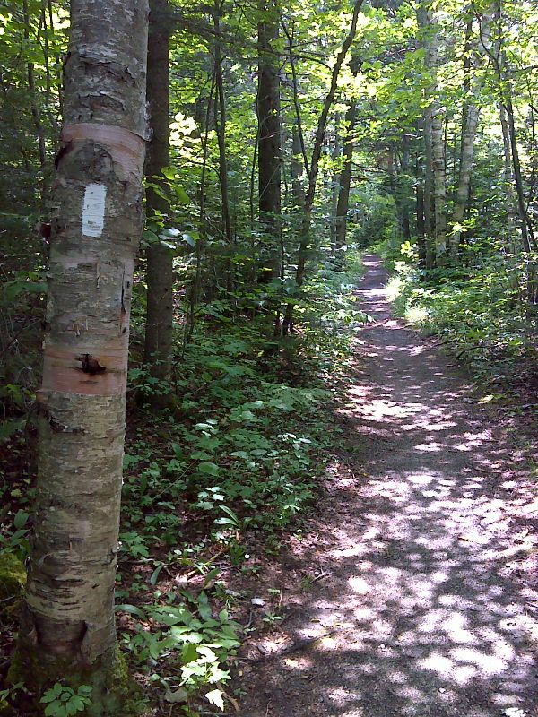
mm 7.5 From the junction with the Zealand and Twinway Trails, the AT northbound follows the railroad grade of the old Zealand Valley Railroad. GPS N44.1956 W71.4902
Submitted by pjwetzel @ gmail.com
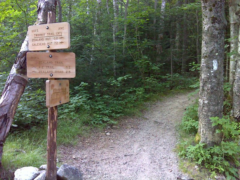
mm 7.5 Junction to the Twinway and Ethan Pond Trail. the southbound trail follows the Zealand Trail while the Northbound follows the Ethan Pond. The Zealand Trail leads to parking at the end of Zealand Road. GPS N44.1957 W71.4903
Submitted by pjwetzel @ gmail.com
Parking area for Zealand Trail. This is at the end of Zealand Road. From here it is 2.6 miles to the AT at MM 7.5 and an additional 0.2 on the AT to Zealand Falls Hut
Submitted by seqatt.net @ sbcglobal.net