NH Section 4 Pictures - Milemarker 7.7 - 11.9
Zealand Falls Hut - Mt. Guyot
Move your mouse across the pictures for more information.
MM 7.7 Zealand Falls Hut
Submitted by seqatt.net @ sbcglobal.net
MM 7.7 Zealand Falls Hut. "Maybe if I stand here and look cute, this guy will put down the stupid camera and feed me."
Submitted by seqatt.net @ sbcglobal.net
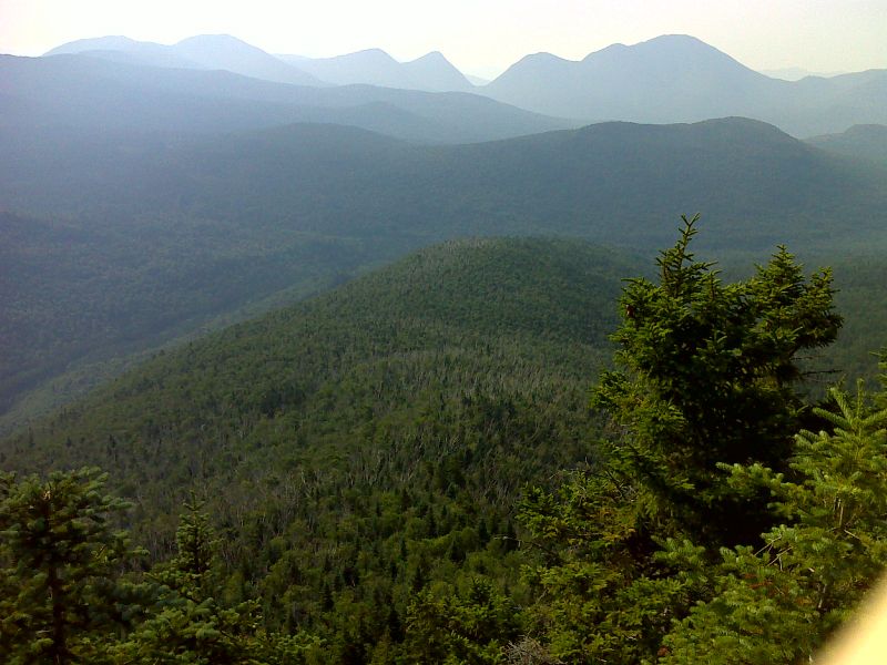
mm 8.9 View from Zeacliff on an unfortunately hazy day. GPS N44.1824 W71.4954
Submitted by pjwetzel @ gmail.com
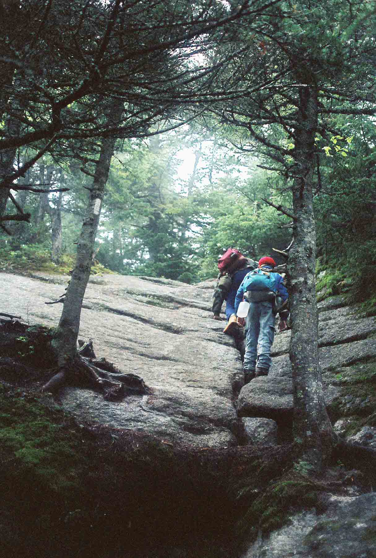
The AT (here called the Twinway Trail) on Zealand Mountain. Taken at approx. Mile 9.0
Submitted by dlcul @ conncoll.edu
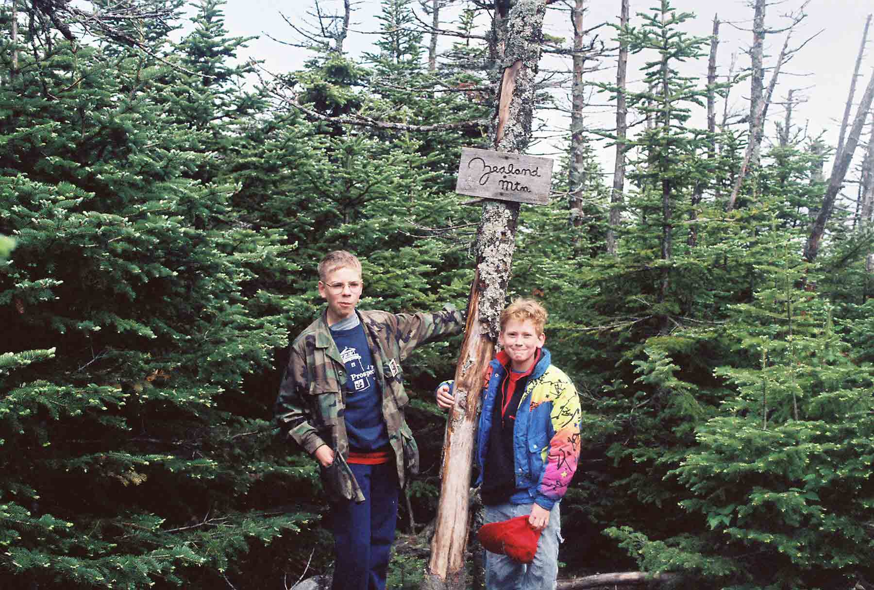
mm 10.6 - At the true summit of Zealand Mt., one of the NH 4000 footers. This is reached by a short trail from the AT. This was taken in 1992. My son, Mike, then 11, is on right with his friend Aaron, then 13.
Submitted by dlcul @ conncoll.edu
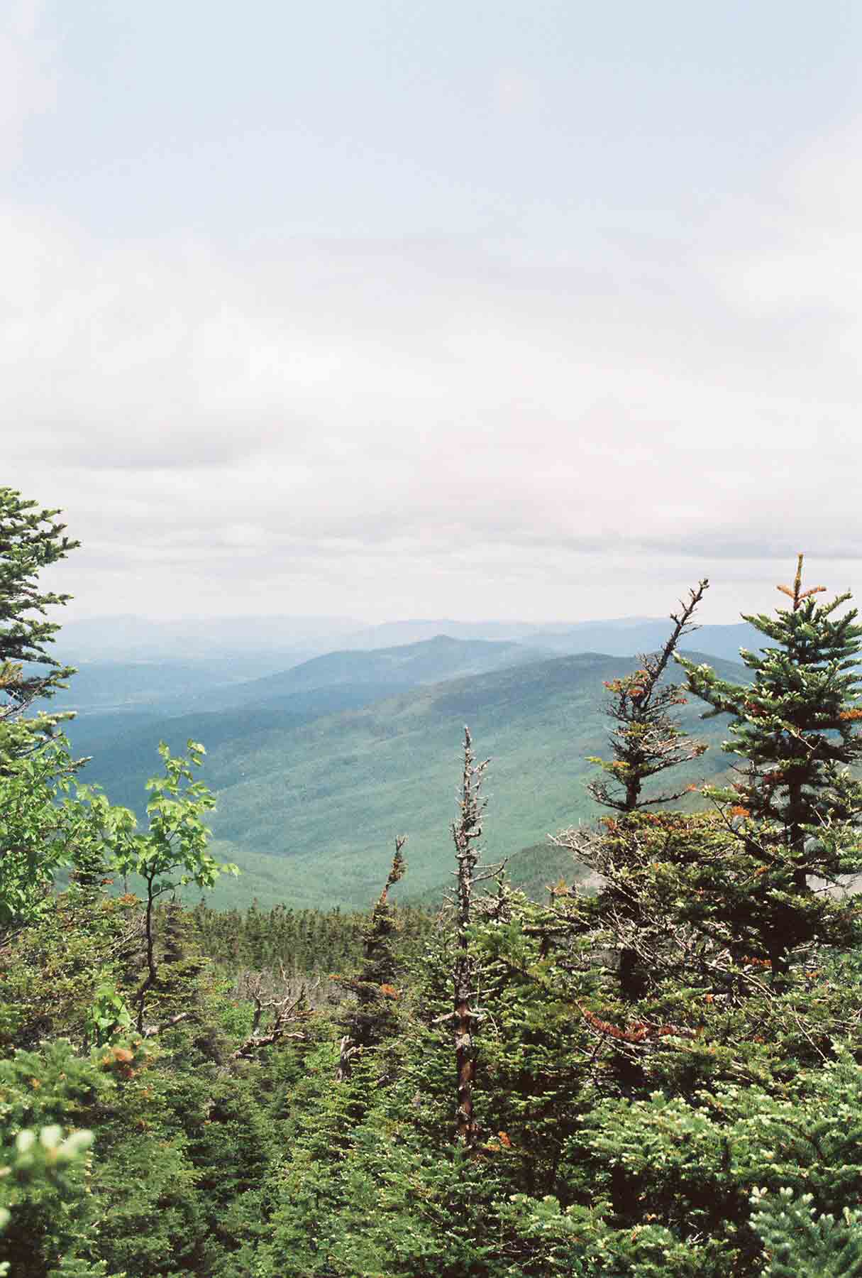
View from the east side of Mt. Guyot. Taken at approx. Mile 11.7
Submitted by dlcul @ conncoll.edu
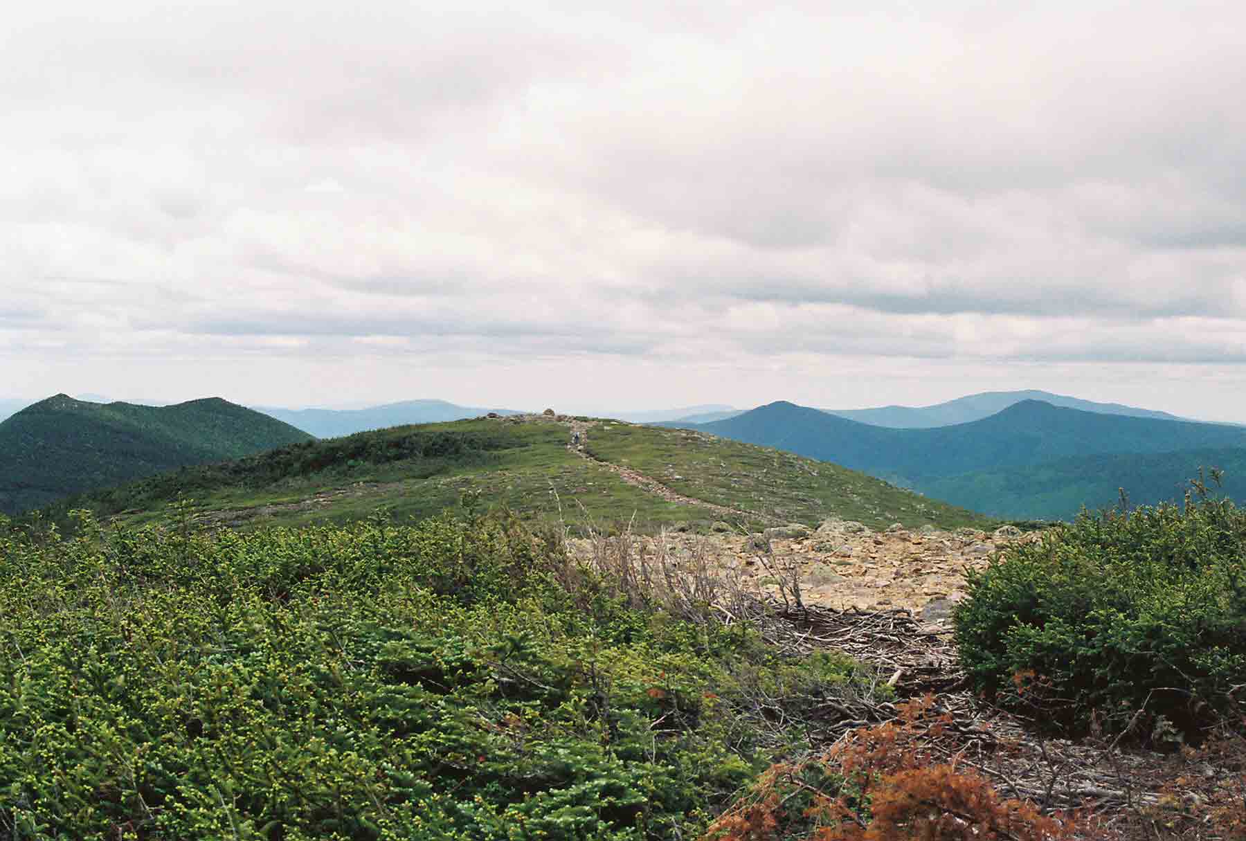
mm 11.9 - View south from near the summit of Mt. Guyot
Submitted by dlcul @ conncoll.edu
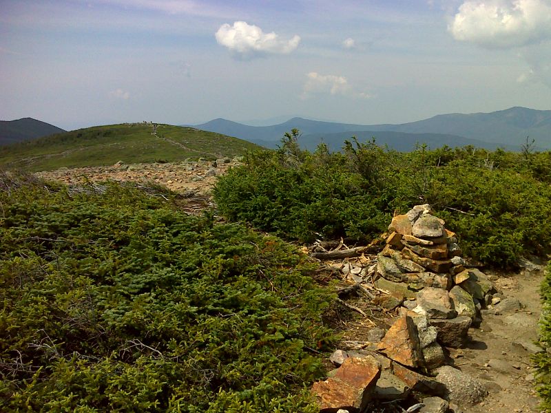
Tundra atop Mt. Guyot. This was taken from essentially the same spot as the previous photo but on a clearer day. GPS N44.1682 W71.5340
Submitted by pjwetzel @ gmail.com