NH Section 4 Pictures - Milemarker 11.9 - 13.9
Mt. Guyot - South twin Mt.
Move your mouse across the pictures for more information.
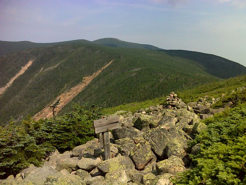
mm 11.9 Junction with the Bondcliff Trail near the summit of Mt. Guyot. It is 0.5 miles via the Bondcliff Trail to the side trail to Guyot shelter. The side trail to the shelter is 0.2 miles long. GPS N44.1686 W71.5356
Submitted by pjwetzel @ gmail.com

mm 11.9 Caretaker for Guyot Shelter (2012) working on a cairn with a built in chair. This is on the Bondcliff Trail. GPS N44.1661 W71.5366
Submitted by pjwetzel @ gmail.com
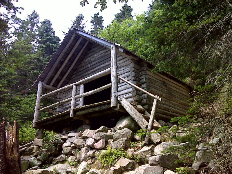
mm 11.9 Guyot Shelter. GPS N44.1611 W71.5350
Submitted by pjwetzel @ gmail.com
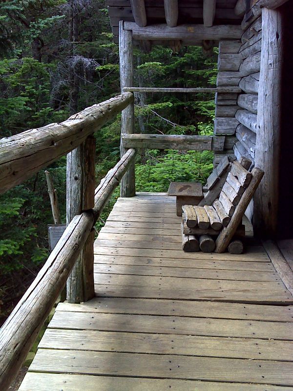
mm 11.9 Porch of Guyot Shelter. GPS N44.1611 W71.5350
Submitted by pjwetzel @ gmail.com
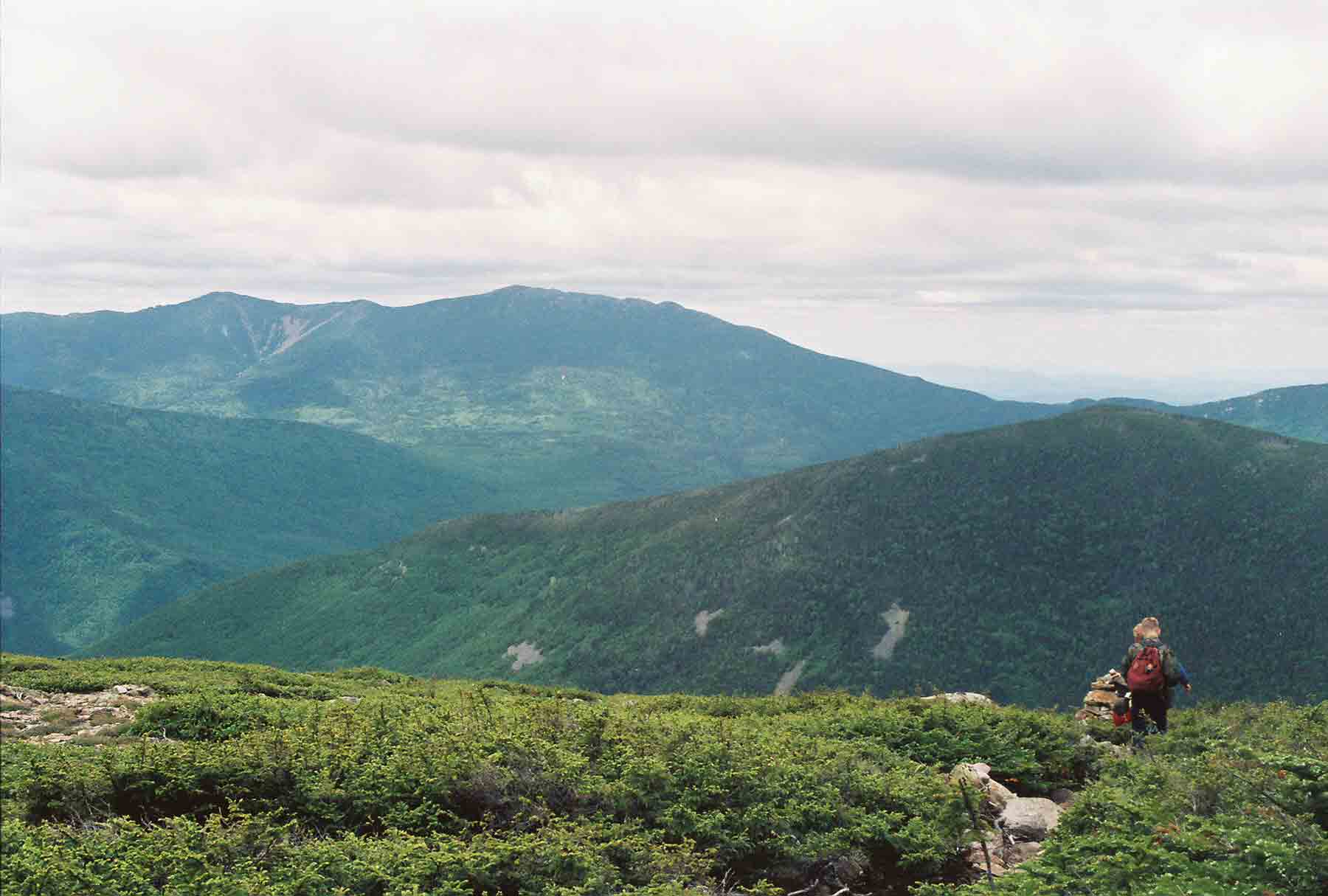
View to west as the southbound AT descends from Mt. Guyot
Submitted by dlcul @ conncoll.edu

mm 13. 9 - Summit of South Twin Mt. Mt. Washington and the Presidential Range are in the background.
Submitted by dlcul @ conncoll.edu
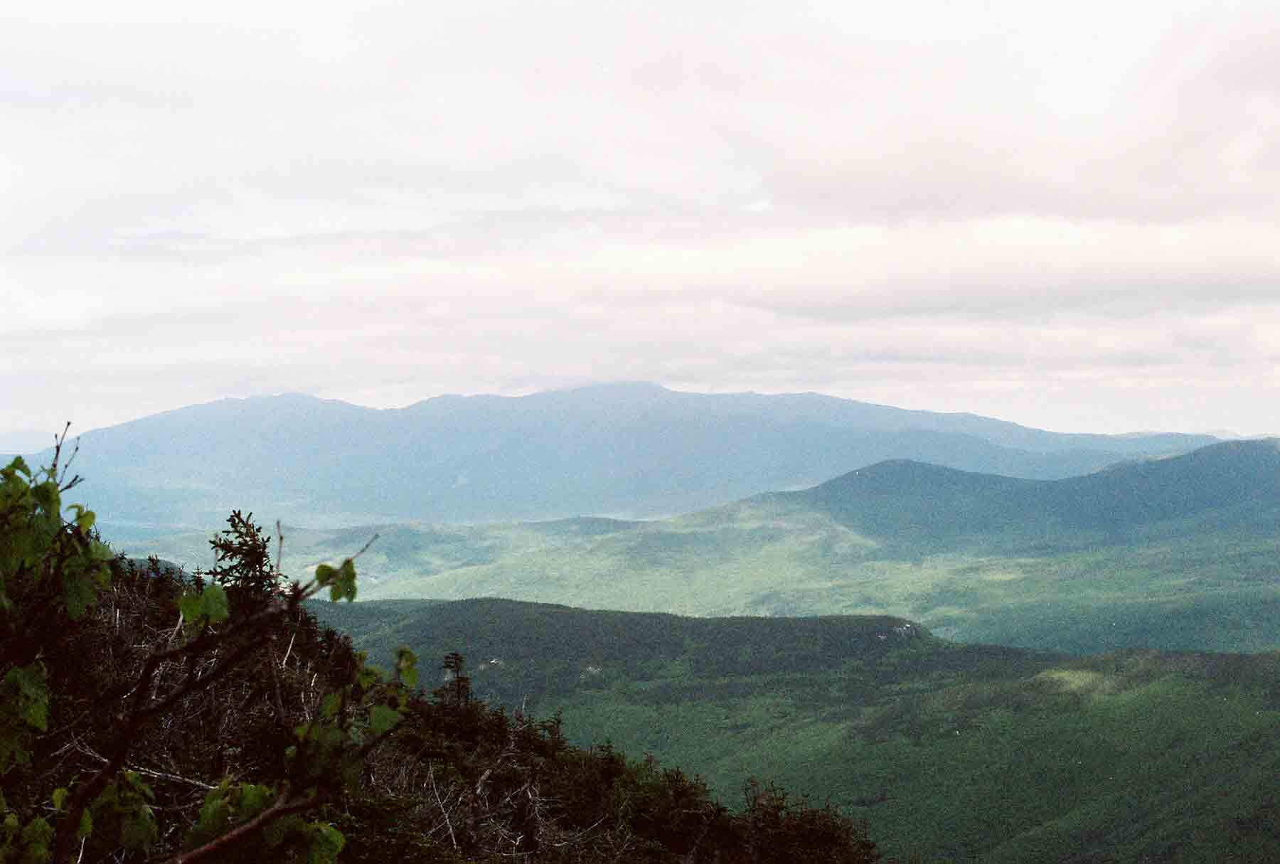
Mt. Washington and the Presidential Range from the summit of South Twin
Submitted by dlcul @ conncoll.edu
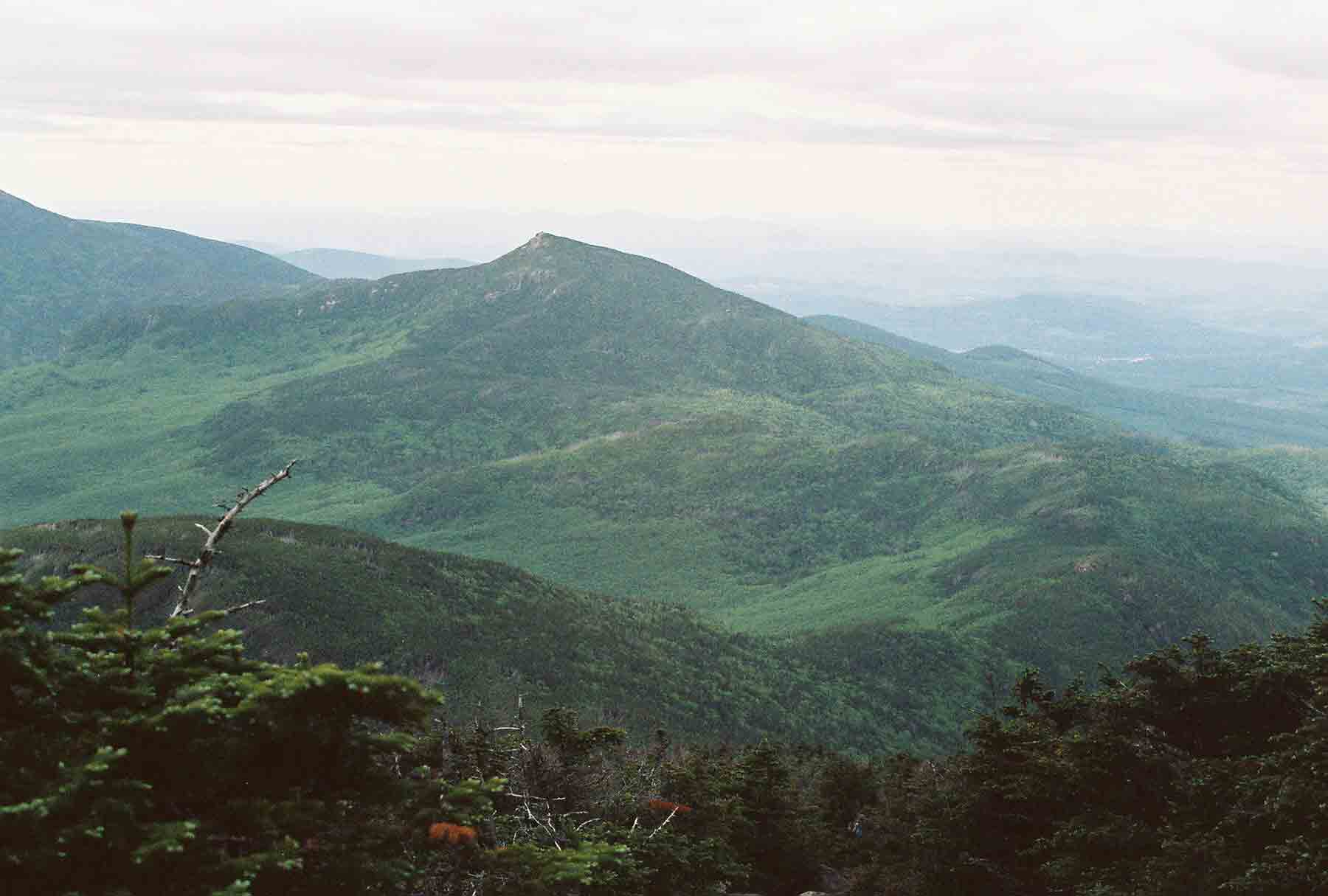
mm 13. 9 - Looking west from South Twin Mt. The next several miles of the route of the southbound AT are visible. It descends to Galehead Hut (not seen in this picture), circles around Galehead Mt. (in lower left corner), then follow the ridge over Mt. Garfield (center of picture) and starts to climb Mt. Lafayette.
Submitted by dlcul @ conncoll.edu