NH Section 4 Pictures - Milemarker 15.6 - 17.8
Garfield Ridge - Mt. Garfield
Move your mouse across the pictures for more information.
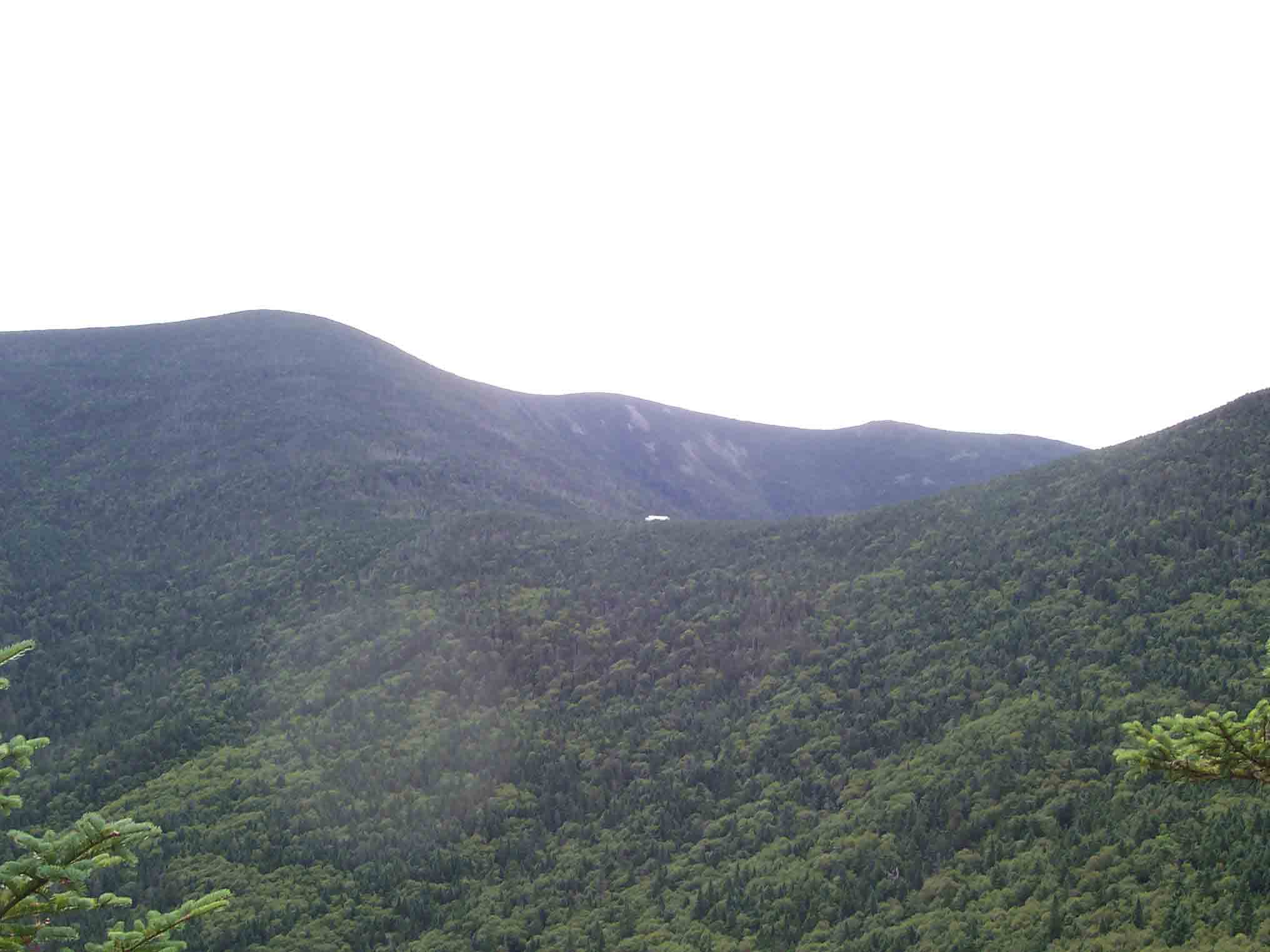
View east along Garfield Ridge to South Twin. Galehead Hut in distance. The AT follows this ridge.
Submitted by dlcul @ conncoll.edu
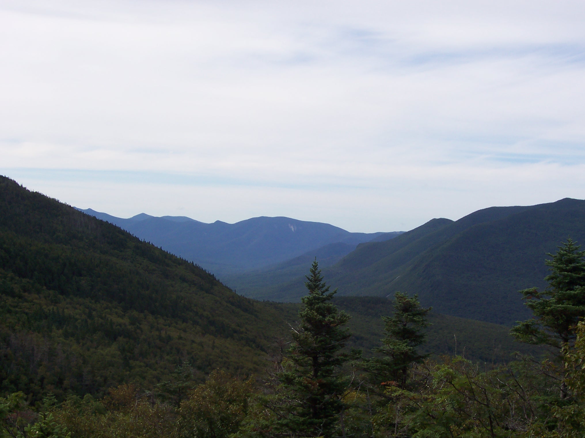
View south in Pemigewaset Wilderness from Garfield Ridge Trail (part of AT). Taken from approx. Mile 16.7
Submitted by dlcul @ conncoll.edu
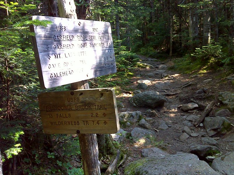
mm 16.9 Junction with the Franconia Brook Trail. GPS N44.1899 W71.5988
Submitted by pjwetzel @ gmail.com
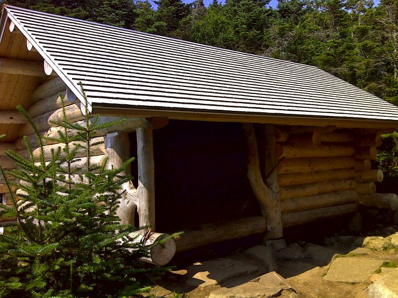
mm 17.4 Garfield Ridge Shelter, rebuilt in Fall 2011. Picture taken in July 2012. GPS N44.1907 W71.6083
Submitted by pjwetzel @ gmail.com
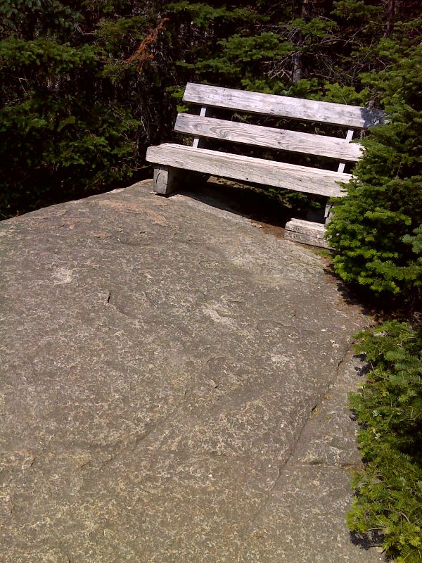
mm 17.4 Seating at viewpoint near Garfield Ridge Shelter. GPS N44.1906 W71.6077
Submitted by pjwetzel @ gmail.com
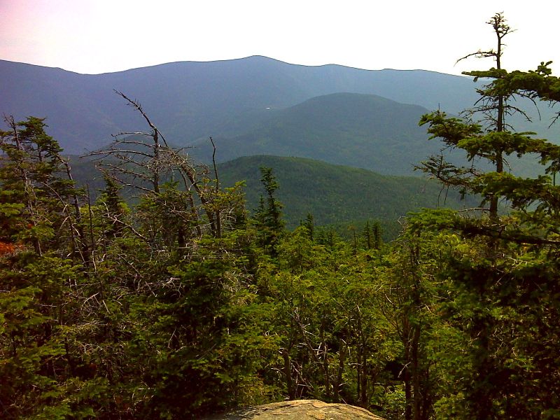
mm 17.4 View to the east near Garfield Ridge Shelter. The white dot in the top center of view is Galehead Hut. South Twin is the mountain behind it. GPS N44.1906 W71.6077
Submitted by pjwetzel @ gmail.com
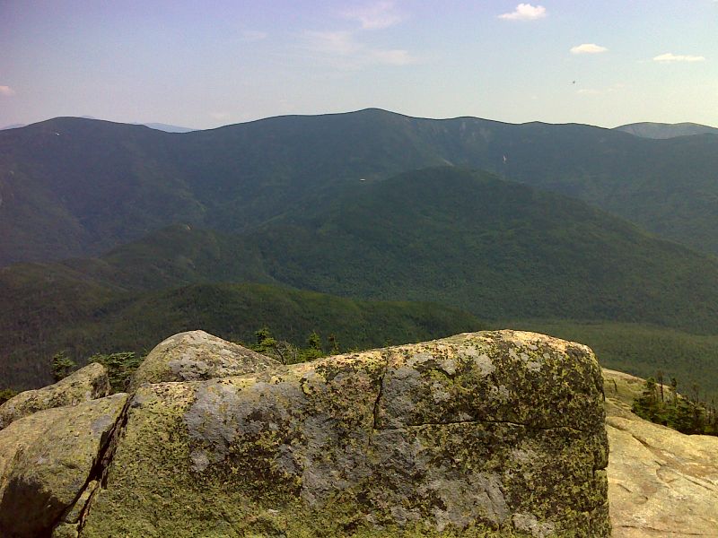
mm 17.8 View to the east from the summit of Mt. Garfield. Galehead Hut is visible. GPS N44.1872 W71.6107
Submitted by pjwetzel @ gmail.com
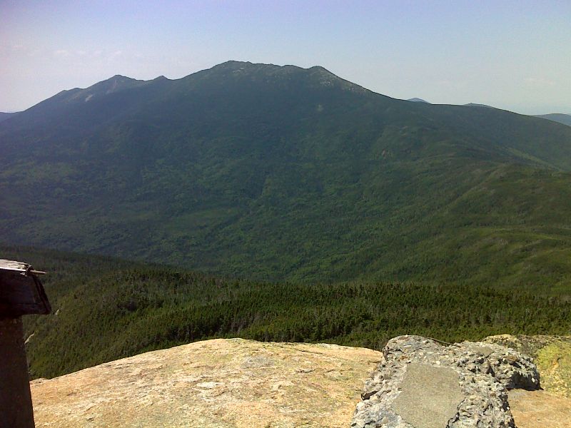
mm 17.8 Franconia Ridge from the summit of Mt. Garfield. GPS N44.1872 W71.6108
Submitted by pjwetzel @ gmail.com