NH Section 4 Pictures - Milemarker 18.3 - 21.3
Garfield Pond - Summit of Mt. Lafayette
Move your mouse across the pictures for more information.

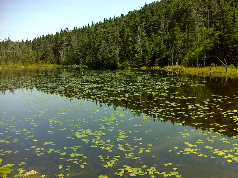
mm 18.3 Garfield Pond. GPS N44.1871 W71.6189
Submitted by pjwetzel @ gmail.com

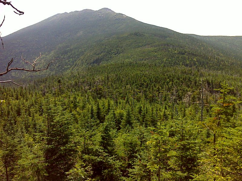
Saddle between Garfield and Lafayette looking towards the latter. Taken at approx. mm 18.8. GPS N44.1810 W71.6318
Submitted by pjwetzel @ gmail.com
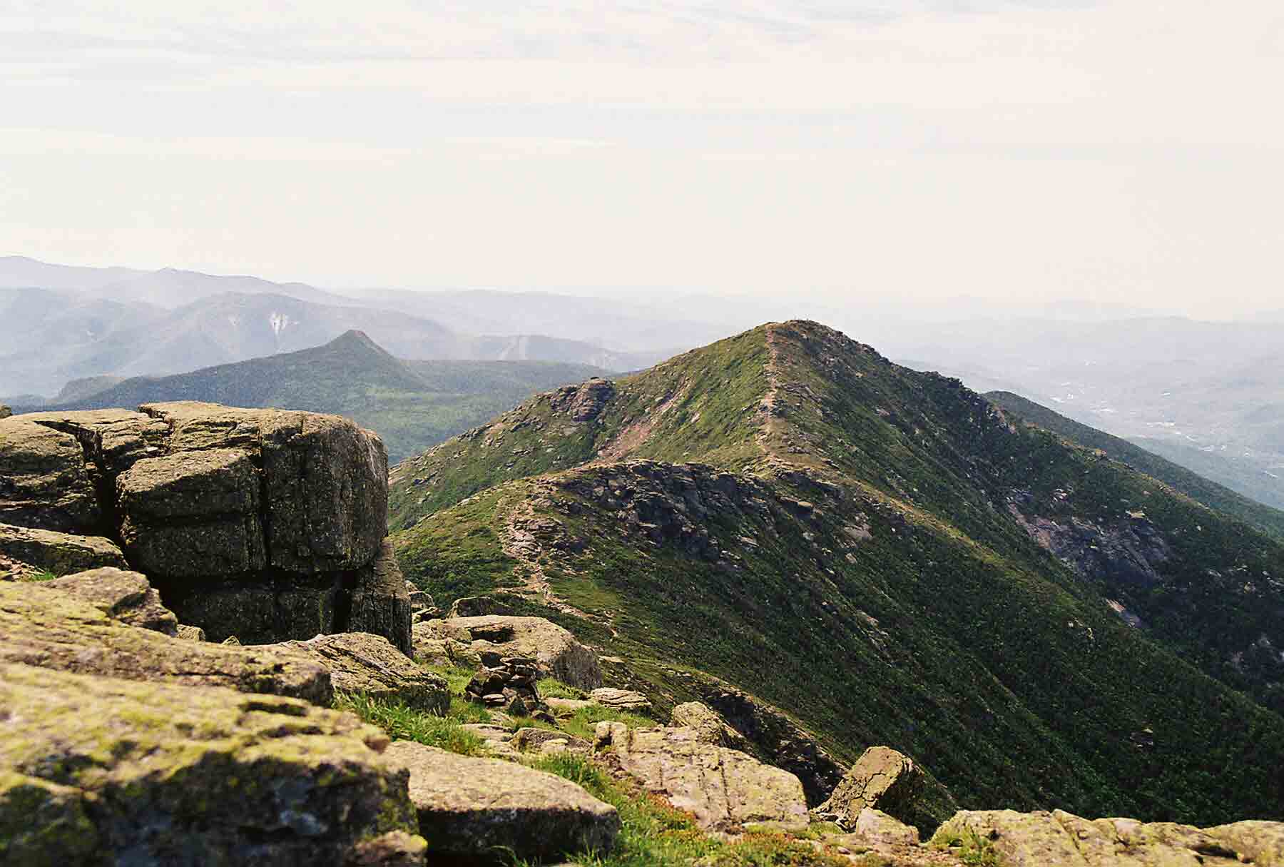
mm 20.6 - Looking east (trail north) on the beginning of the northbound descent from North Lafayette. This point is just north of the junction with the Skookumchuck Trail. The trail follows the obvious ridge in the picture, going over Mt. Garfield (the prominent peak in the center of the picture) and eventually climbing to South Twin, the peak on the far right in the distance. The day was warm and hazy which cut down on the views.
Submitted by dlcul @ conncoll.edu
The southbound AT (here called the Garfield Ridge Trail) as it climbs along the ridge above treeline towards the summit of Mt. Lafayette. Taken from approx. Mile 21.1
Submitted by dlcul @ conncoll.edu
mm 21.3 - View to the west from the ridge of Mt. Lafayette. Greenleaf Hut (not on AT) is in center of picture. The mountain with the spectacular cliff is Cannon Mt. on the other side of Franconia Notch. The two large peaks on the left in the distance are North and South Kinsman, both of which the AT crosses.
Submitted by dlcul @ conncoll.edu
View north along the ridge from the summit of Mt. Lafayette. The more distant of the two knobs in the center of the picture is North Lafayette.
Submitted by dlcul @ conncoll.edu

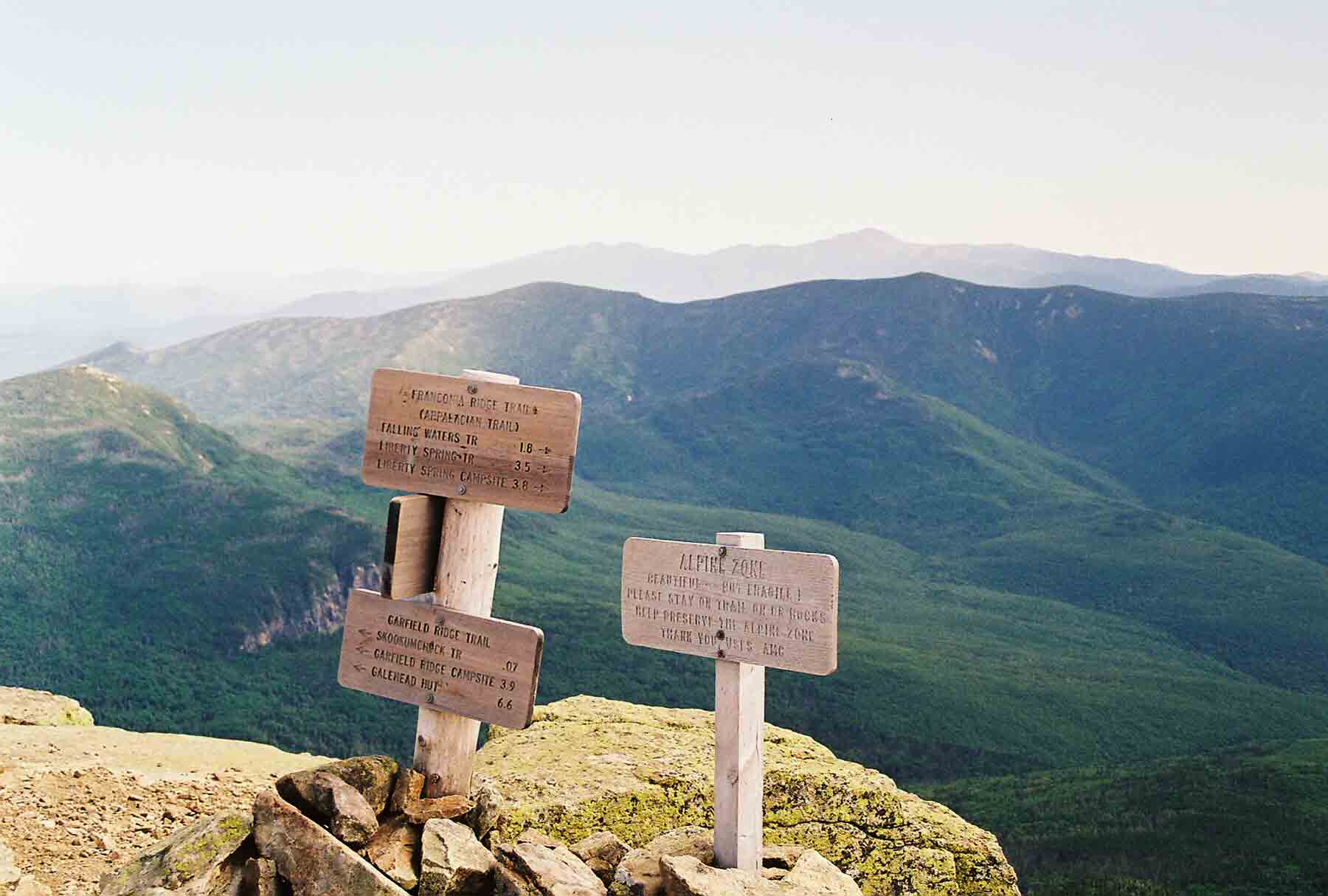
Summit of Mt. Lafayette. Mountains in distance are Mt. Washington and the Presidential Range.
Submitted by dlcul @ conncoll.edu

South along Franconia Ridge from summit of Mt. Lafayette towards Mt. Lincoln. The Franconia Ridge Trail (AT) runs along the ridge.
Submitted by dlcul @ conncoll.edu