NH Section 4 Pictures - Milemarker 21.3 - 21.9
Summit of Mt. Lafayette - Minor Summit on Franconia Ridge
Move your mouse across the pictures for more information.
mm 21.3 - Part of the old foundations for the hotel that was once atop Mt. Lafayette
Submitted by seqatt.net @ sbcglobal.net
Mt. Lafayette and one of the Eagle Lakes from Greenleaf Hut. This picture was not taken from the AT, but it shows the route of the trail. From the summit of Lafayette, the northbound Trail (called the Garfield Ridge Trail) descends along the crest of the ridge, over the North Lafayette knob, then down the east side of the mountain. The southbound trail goes right from the summit and continues along Franconia Ridge. This section is called not surprisingly the Franconia Ridge Trail.
Submitted by dlcul @ conncoll.edu
Mt. Lincoln and the Franconia Ridge from Greenleaf Hut. This picture was not taken from the AT, but it shows the route of the trail which follows the ridge, much of it above tree line with spectacular views.
Submitted by dlcul @ conncoll.edu

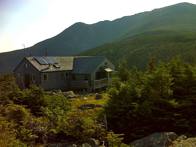
Greenleaf Hut. From here it is 1.1 miles to the AT at the summit of Lafayette. GPS 44.1602 W71.6608
Submitted by pjwetzel @ gmail.com

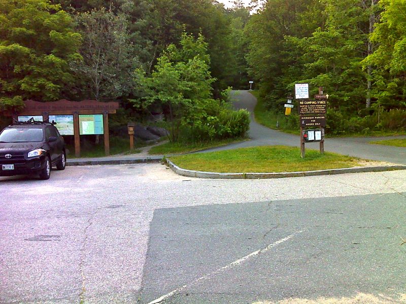
Trail head for Old Bridle Path and Falling Waters Trails . This is in the parking area on I-93 across from Lafayette Place Campground. The Old Bridle Path leads to Greenleaf Hut. From there the Greenleaf trail leads to the AT at Mile 21.3 (summit of Mt. Lafayette). The Falling Waters trail joins the AT at mm 23.0 (summit of Little Haystack). GPS 44.1421 W71.6813
Submitted by pjwetzel @ gmail.com

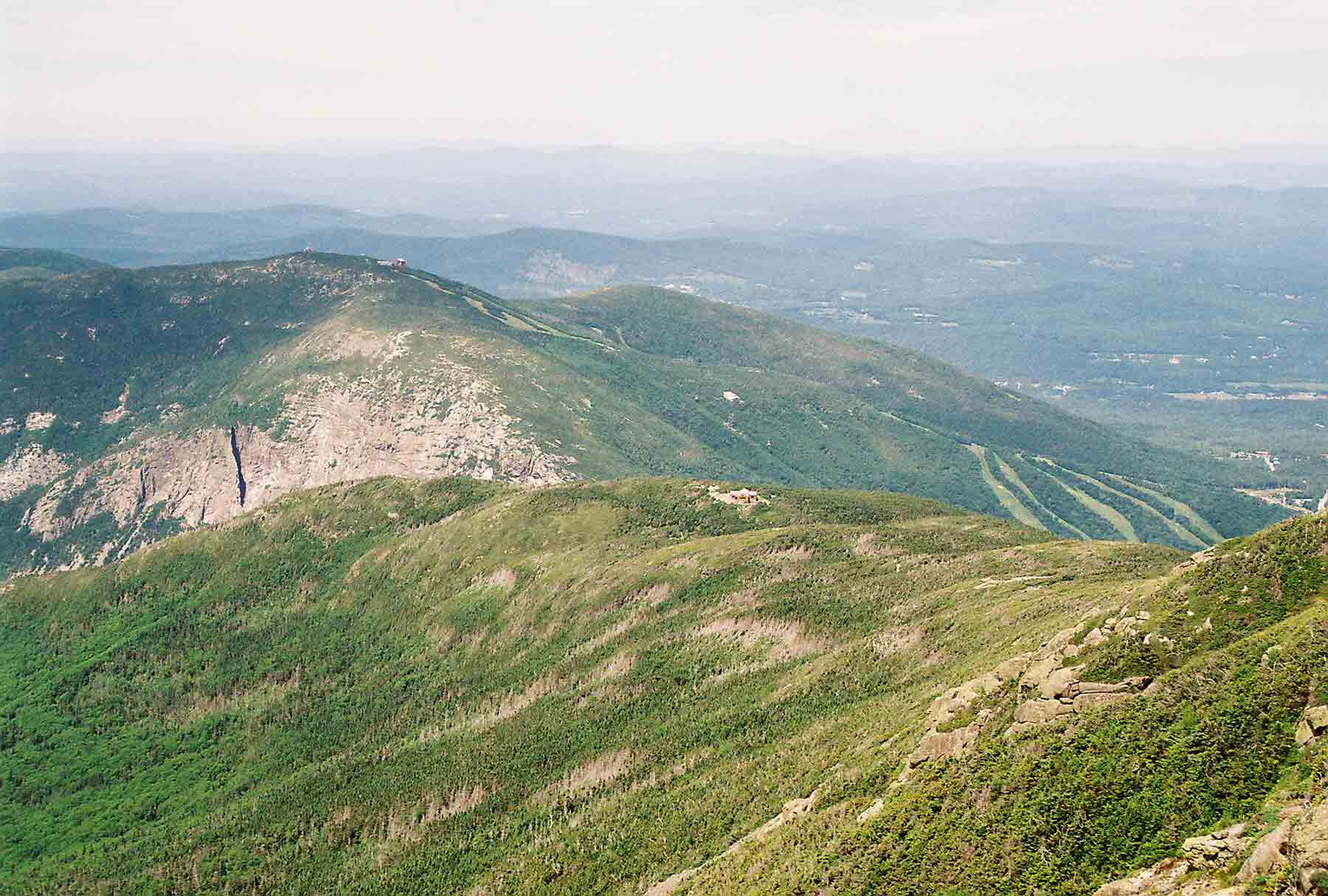
Looking west from summit of Mt. Lafayette. Across Franconia Notch is Cannon Mountain. Greenleaf Hut is visible in the center of the picture. Taken at approx. Mile 21.5
Submitted by dlcul @ conncoll.edu
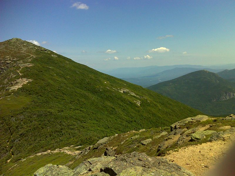
Climbing the "minor" summit on Franconia Ridge between Mt. Lafayette and Mt. Lincoln. Taken at approx. mm 21.7
Submitted by seqatt.net @ sbcglobal.net

View of Mt. Lafayette (on left) and Mt. Garfield (on right) from Franconia Ridge. Taken from approx. mm 21.9. GPS N44.1548 W71.6438
Submitted by pjwetzel @ gmail.com