NH Section 5 Pictures - Milemarker 0.0 - 2.9
Franconia Notch - Lonesome Lake
Move your mouse across the pictures for more information.
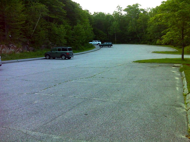
mm 0.0 Neither the trail head for the Cascade Brook Trail (AT southbound to Section 5) nor the Liberty Spring Trail (AT northbound to Section 4) are accessible by vehicle. This is the AT parking area near The Flume off I-93. From here the Whitehouse Trail leads north 1.0 miles to the Franconia Notch Bike Path and the trailheads. GPS N 44.1011 W71.6820
Submitted by pjwetzel @ gmail.com
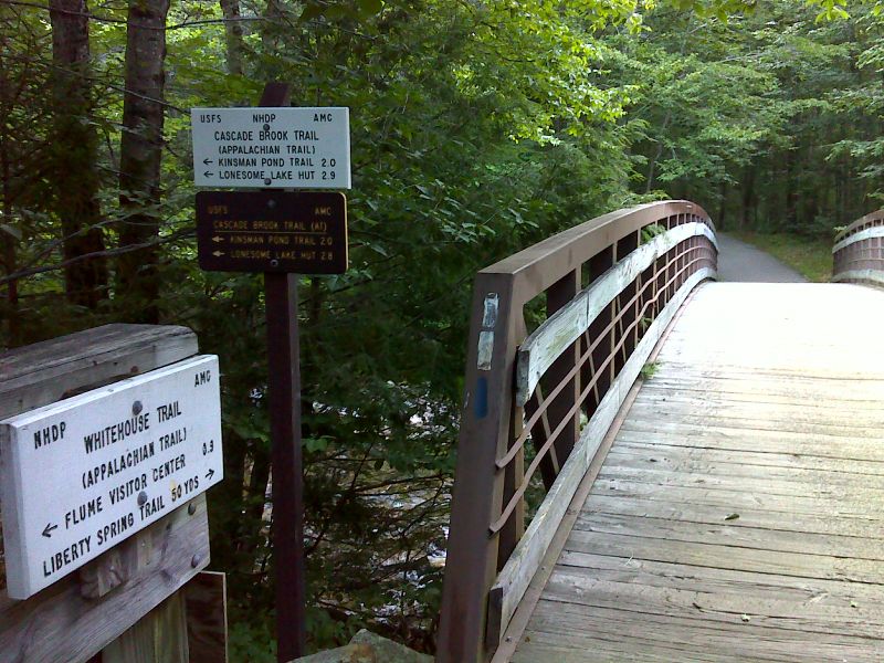
mm 0.0 Trailhead for the Cascade Brook Trail in Franconia Notch. The southbound AT follows the Cascade Brook Trail. The northbound AT goes straight ahead on the bike path across the bridge, then turns onto the Liberty Spring Trail. GPS N 44.1098 W71.6815
Submitted by pjwetzel @ gmail.com
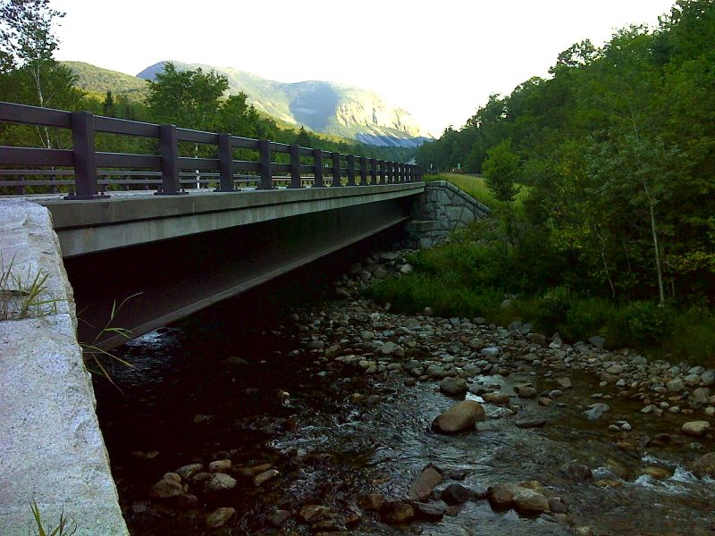
After leaving the Bike Path, the Cascade Brook Trail soon crosses under the Franconia Notch Parkway (I-93). GPS N 44.1104 W71.6818
Submitted by pjwetzel @ gmail.com
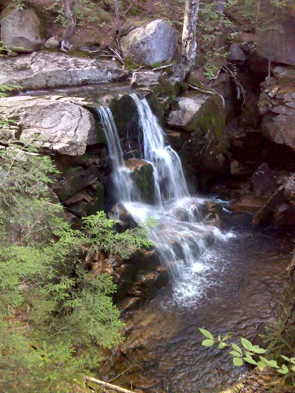
At approximately mm 0.3, the trail crosses Whitehouse Brook. It is a short bushwhack downstream to this waterfall. GPS N 44.1138 W71.6842
Submitted by pjwetzel @ gmail.com
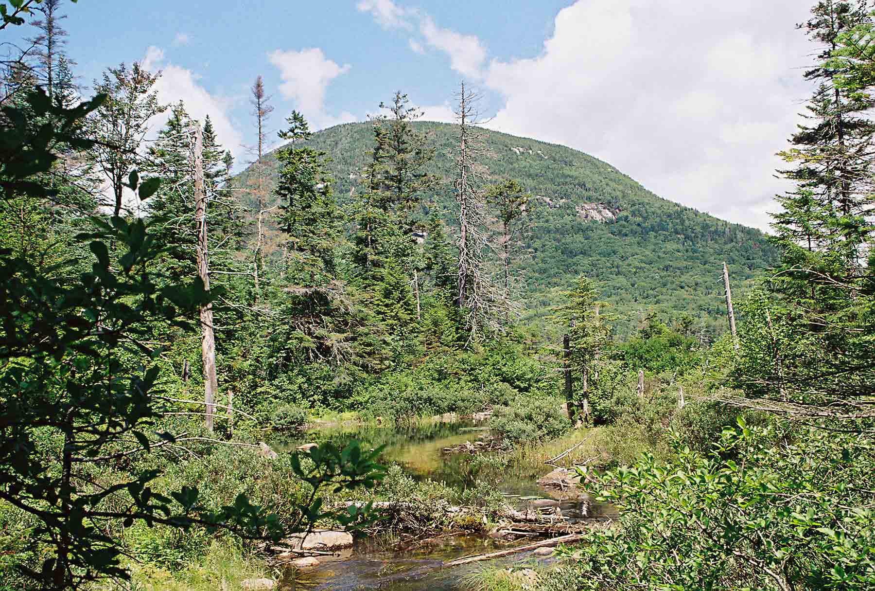
Picture taken towards the north end of the Cascade Brook Trail (AT) in July '04. Mountain ahead is Cannon Mountain. Taken at approx. Mile 2.7
Submitted by dlcul @ conncoll.edu
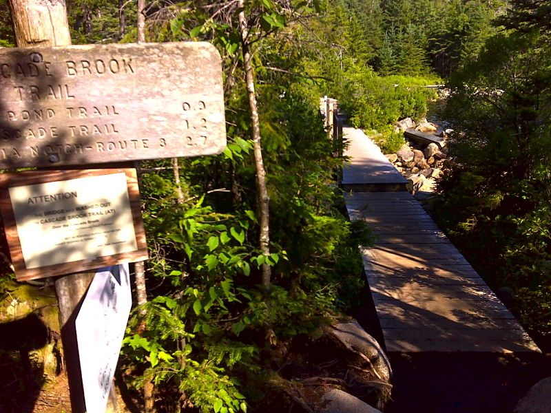
mm 2.8 Junction with the Lonesome Lake Trail on the south shore of Lonesome Lake. GPS N 44.1381 W71.7020
Submitted by pjwetzel @ gmail.com
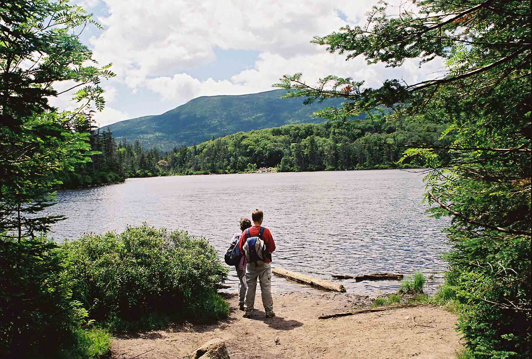
Lonesome Lake from northeast end. Taken from blue-blazed Lonesome Lake Trail. AT runs along far (south) shore. (July '04)
Submitted by dlcul @ conncoll.edu
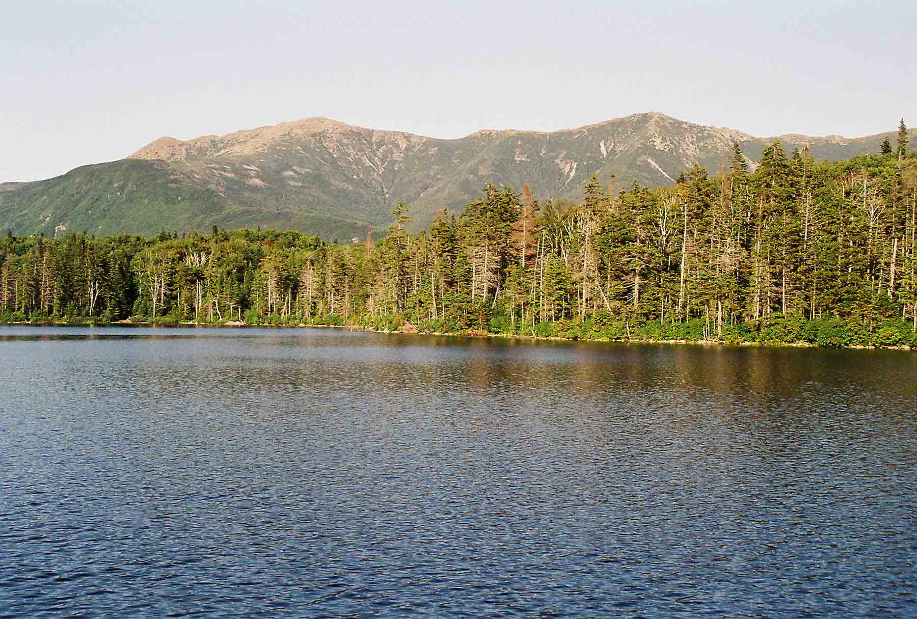
mm 2.9 - View across Lonesome Lake to the Franconia Range from near Lonesome Lake Hut. Largest peak is Mt. Lafayette.
Submitted by dlcul @ conncoll.edu