NH Section 5 Pictures - Milemarker 7.4 - 9.8
Harrington Pond - Reel Brook Trail
Move your mouse across the pictures for more information.
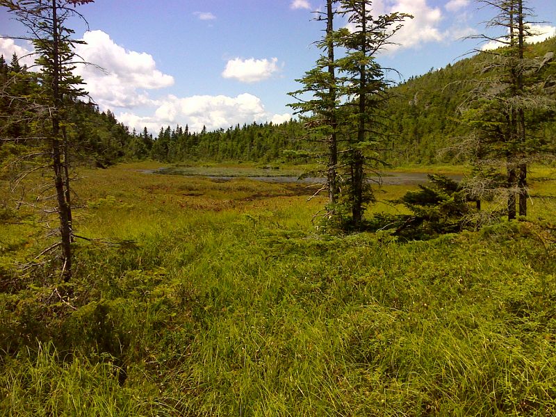
mm 7.4 Harrington Pond GPS N44.1137 W71.7445
Submitted by pjwetzel @ gmail.com
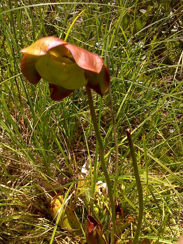
mm 7.4 Smiling pitcher plant blossom at Harrington Pond GPS N44.1137 W71.7445
Submitted by pjwetzel @ gmail.com

Inviting pool on Eliza Brook next to AT. GPS N44.1066 W71.7406
Submitted by pjwetzel @ gmail.com
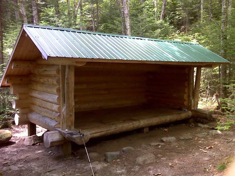
mm 8.8 New Eliza Brook Shelter completed in October 2011. Picture taken in July 2012. GPS N44.1008 W71.7422
Submitted by pjwetzel @ gmail.com
mm 9.3 View to south from power line right-of-way
Submitted by dlcul @ conncoll.edu
mm 9.3 Cliffs on east side of power line right-of-way
Submitted by dlcul @ conncoll.edu
Ledge crossed by trail at high point of ridge between powerline and the Reel Brook Trail. Taken at approx. mm 9.5
Submitted by dlcul @ conncoll.edu
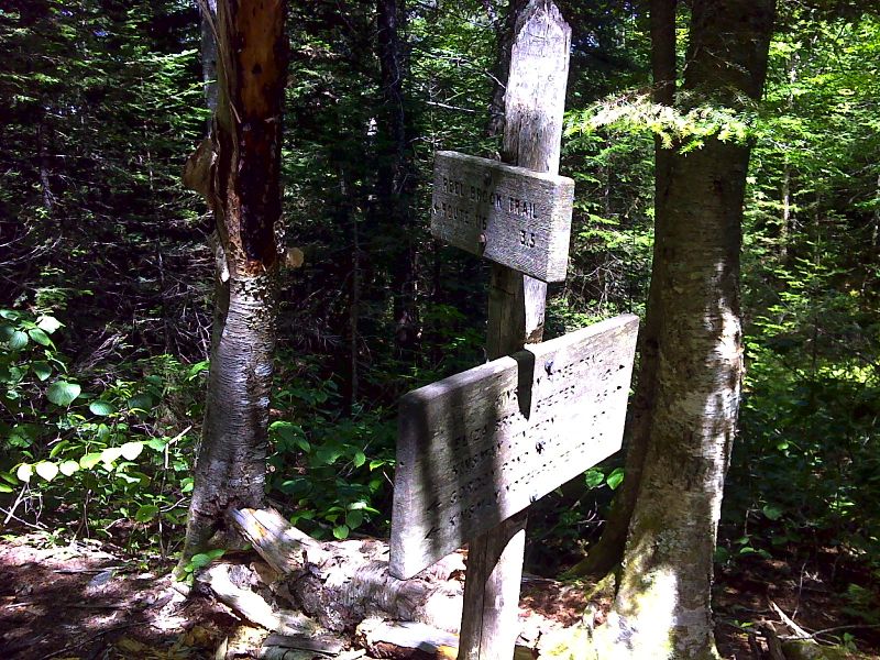
mm 9.8 Junction with the Reel Brook Trail. GPS N44.0956 W71.7554
Submitted by pjwetzel @ gmail.com