NH Section 6 Pictures - Milemarker 1.0 - 2.8
Beaverbrook Trail - Mt Blue
Move your mouse across the pictures for more information.

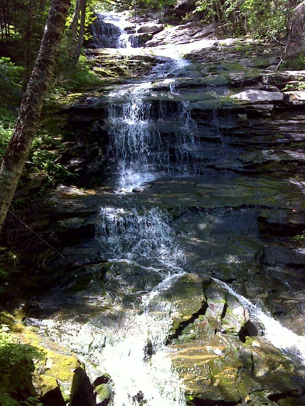
Another pretty section of Beaverbrook Cascades, this one at an elevation of 2700 feet. GPS N44.0378 W71.7999
Submitted by pjwetzel @ gmail.com

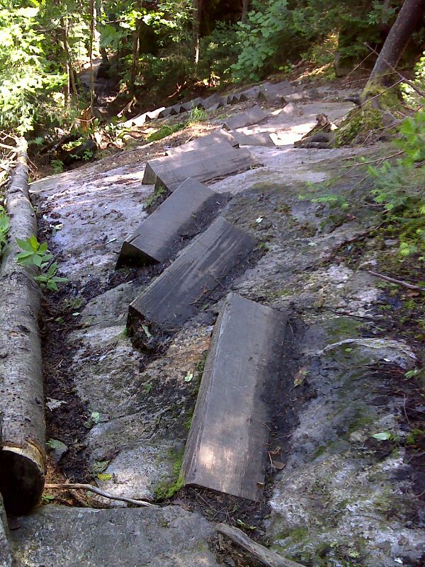
Wood wedge steps on bedrock. GPS N44.0363 W71.8049
Submitted by pjwetzel @ gmail.com
View east towards North and South Kinsman Mts. Taken from approx. Mile 1.3
Submitted by dlcul @ conncoll.edu
mm 1.6 - View from the junction with side trail to Beaverbrook Shelter
Submitted by seqatt.net @ sbcglobal.net

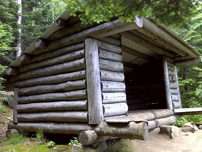
mm 1.6 Beaverbrook Shelter. GPS N44.0330 W71.8112
Submitted by pjwetzel @ gmail.com
MM 1.6 View to east from Beaverbrook Shelter. The range in the center of the picture is the Franconia Range with Mt Lafayette on the left. Courtesy seqatt.net@sbcglobal.net
Submitted by seqatt.net @ sbcglobal.net
View to the east as the southbound AT climbs a steep rocky stretch to reach a point near the summit of Mt. Blue, a subsidiary peak on Mt. Moosilauke. Taken from approx. Mile 2.6
Submitted by dlcul @ conncoll.edu
The summit of Mt. Moosilauke as seen from near Mt. Blue on the Beaverbrook Trail section of the AT. Taken from approx. Mile 2.8.
Submitted by dlcul @ conncoll.edu