NH Section 6 Pictures - Milemarker 3.8 - 3.9
Mt. Moosilauke
Move your mouse across the pictures for more information.

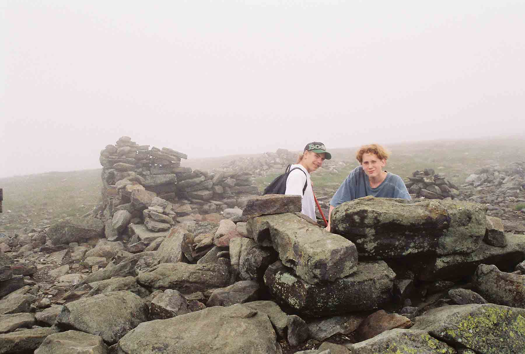
My son Mike (on right), then 14 (1995) with his friend Aaron taking refuge in the foundations of the old hotel which once was on the summit of Mt. Mooilauke.
Submitted by dlcul @ conncoll.edu

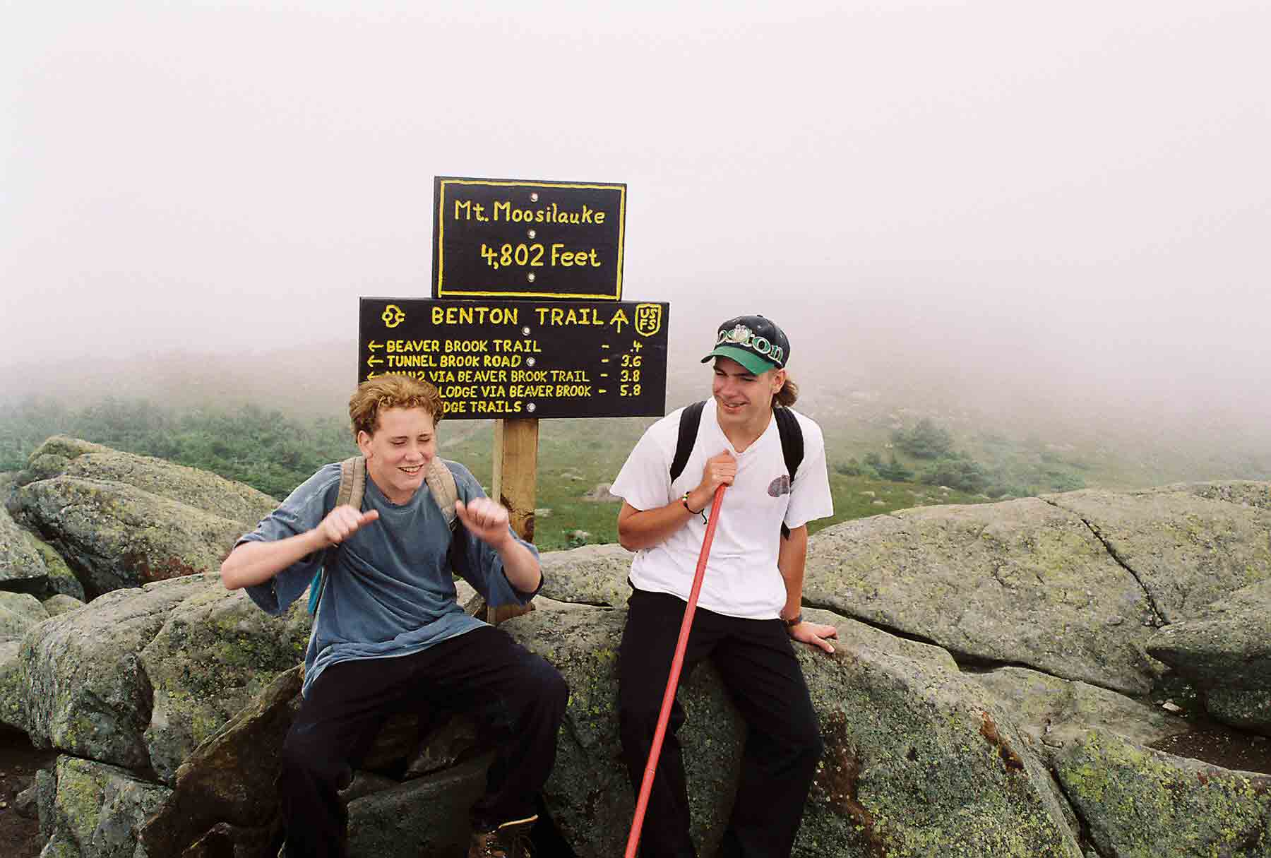
My son Mike (on left), then 14 (1995), with his friend Aaron at the summit of Mt. Moosilauke
Submitted by dlcul @ conncoll.edu
View to the west across the hotel foundations on a much clearer day 12 years later (8/9/07). Though the photograph does not pick it up, Camels Hump in the Green Mountains of Vermont was clearly visible.
Submitted by dlcul @ conncoll.edu
mm 3.8 - The current summit sign (2007) on Mt. Moosiluake
Submitted by seqatt.net @ sbcglobal.net
mm 3.8 - Barry and Marsha at the summit of Mt. Moosilauke
Submitted by seqatt.net @ sbcglobal.net
View to the east towards Lincoln/ North Woodstock from the summit of Mt. Moosilauke
Submitted by dlcul @ conncoll.edu
View to the south along the Moosilauke ridge. The peak at the end of the ridge is the South Peak. The AT follows the ridge, then on the north side of the South Peak, turns right and descends over 3000 feet to Glencliff.
Submitted by dlcul @ conncoll.edu
View south along the ridge of Mt. Moosilauke on 8/9/07. The AT here follows the old Carriage Road which used to bring people to the hotel on the summit. Note the two peaks in the distance. The closer is Mt. Cube while the further one is Smarts Mt., both of which the AT to the south crosses. Taken from approx. Mile 3.9.
Submitted by dlcul @ conncoll.edu