NH Section 6 Pictures - Milemarker 4.0 - 7.5
Near Summit Mt. Moosilauke - Pastures near Glencliff
Move your mouse across the pictures for more information.

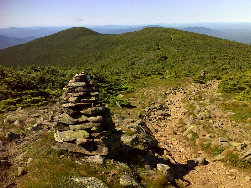
View of AT southbound from tree line on the south slope of Mt. Moosilauke. GPS N44.0213 W71.8382
Submitted by pjwetzel @ gmail.com
View to the north along the Moosilauke ridge back to the summit. Taken from approx. Mile 4.2
Submitted by dlcul @ conncoll.edu
mm 4.8 Junction of Carriage Road and Glencliff Trail just north of South Peak of Mt. Moosilauke. The southbound AT leaves the Carriage Road and descends the west side of the mountain as the Glencliff Trail.
Submitted by dlcul @ conncoll.edu
View to west from the upper part of the Glencliff Trail portion of the AT on what was unfortunately an overcast day. This picture was taken at approx. mm 5.0.
Submitted by dlcul @ conncoll.edu

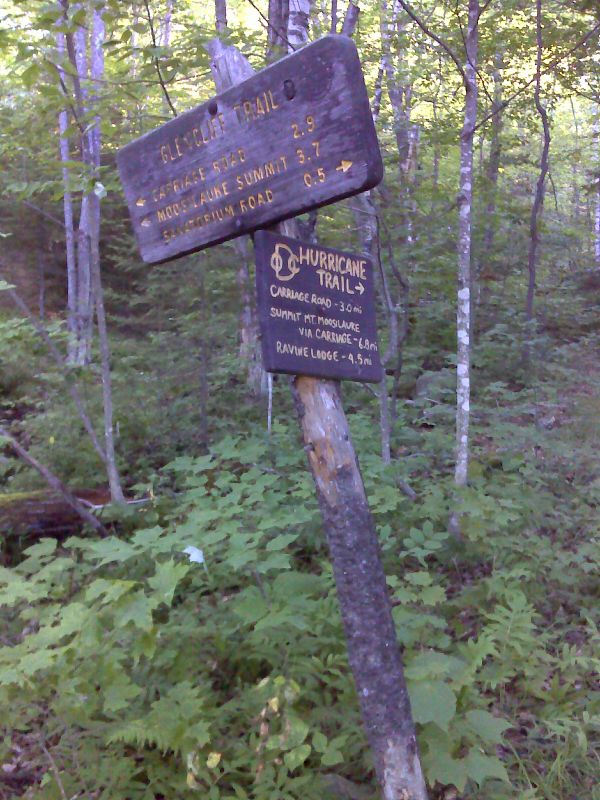
mm 7.4 Junction with the Hurricane Trail. GPS N44.0213 W71.8382
Submitted by pjwetzel @ gmail.com
mm 7.4. View west across field towards the west (trail south) end of the Glencliff Trail portion of the AT. For a southbound hiker, this is the first field that is crossed by the AT.
Submitted by dlcul @ conncoll.edu
Wildflowers in field. Taken at approx. mm 7.5
Submitted by dlcul @ conncoll.edu
The trail crosses some pastures. View is to west. Taken at approx. mm 7.5.
Submitted by dlcul @ conncoll.edu