NH Section 7 Pictures - Milemarker 0.0 - 5.0
NH 25 - NH 25C
Move your mouse across the pictures for more information.
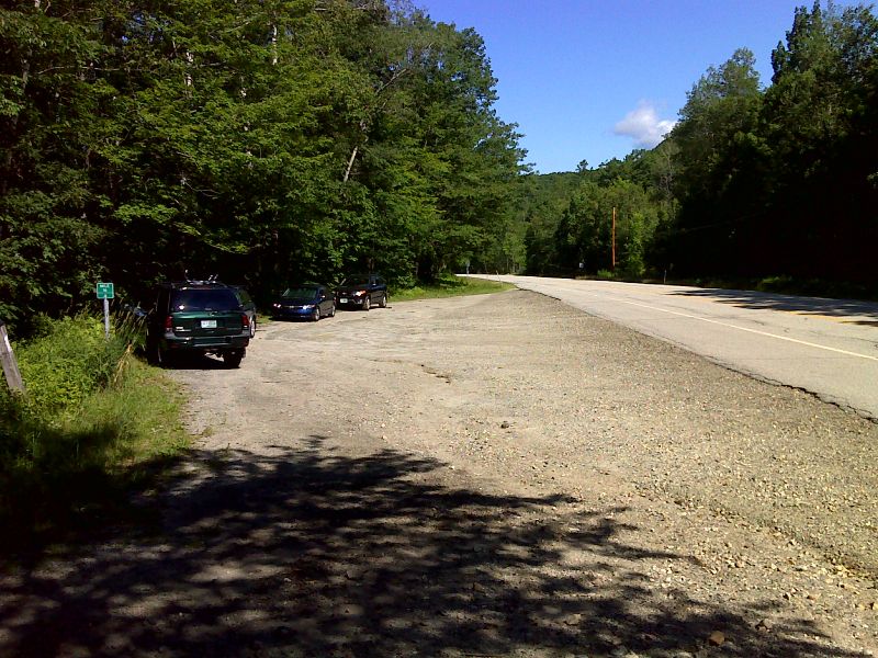
mm 0.0 Large parking area on NH 25. The northbound trail follows the road to almost the end of the parking area, then goes right into the woods and immediately crosses Oliverian Brook. GPS N43.9897 W71.8992
Submitted by pjwetzel @ gmail.com
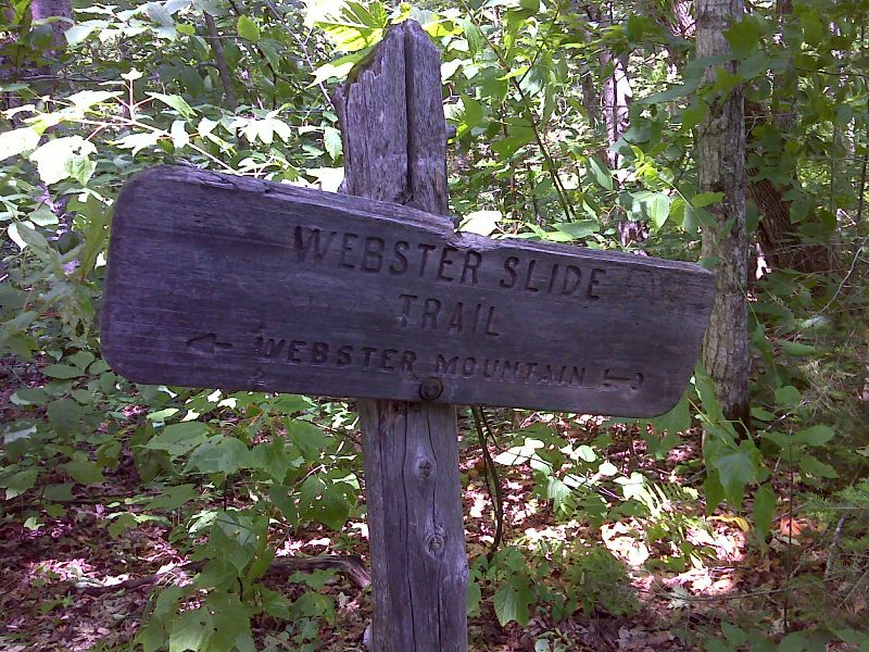
mm 2.2 Junction with Webster Slide Trail which leads a mile west to a viewpoint on Webster Slide Mountain. An unmarked trail goes east to Wachipauka Pond in 0.2 miles. GPS N43.9832 W71.9281
Submitted by pjwetzel @ gmail.com
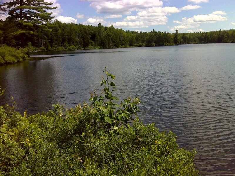
mm 2.2 Wachipauka Pond at the end of the spur from the junction of the AT and the Webster Slide Trail. GPS N43.9832 W71.9250
Submitted by pjwetzel @ gmail.com

'Tourists' Barry and Marsha near viewpoint on N side of Mt. Mist. The Dartmouth Outing Club which maintains this sections has signs like this throughout its section, e.g. 'No Unicycles'. Taken at approx. Mile 2.4.
Submitted by dlcul @ conncoll.edu
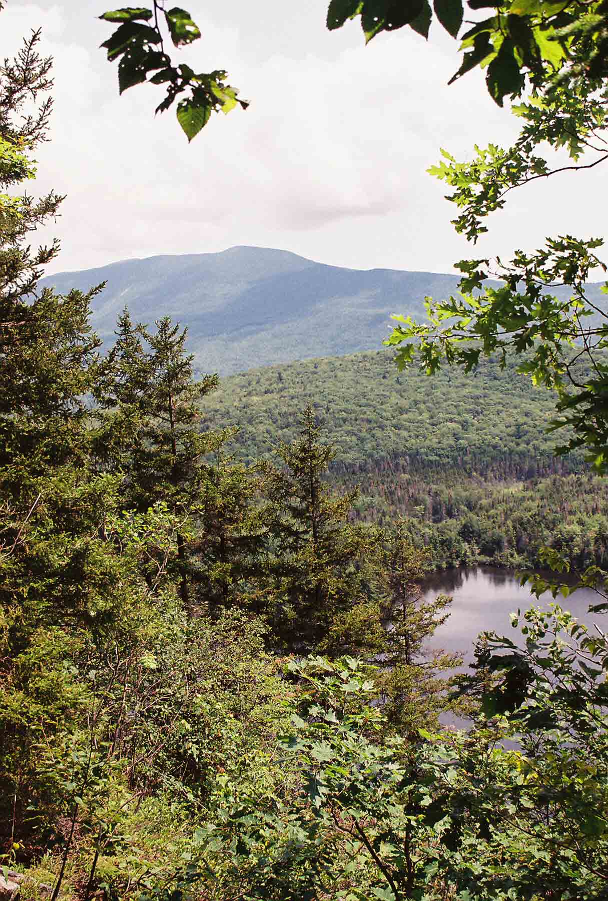
View of Wachipauka Pond and Mt. Moosilauke from view point on north side of Mt. Mist. Taken at approx. Mile 2.4.
Submitted by dlcul @ conncoll.edu

View of Wachipauka Pond from view point on north side of Mt. Mist. Taken at approx. Mile 2.4.
Submitted by dlcul @ conncoll.edu
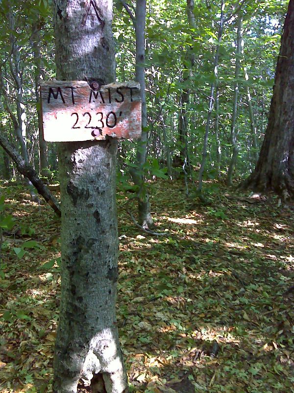
mm 2.5 Summit of Mt. Mist. GPS N43.9754 W71.9321
Submitted by pjwetzel @ gmail.com
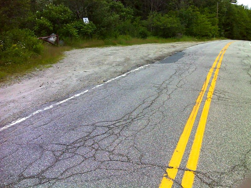
mm 5.0 Large shoulder parking area on NH 25C. GPS N43.9538 W71.9451
Submitted by pjwetzel @ gmail.com