NH Section 8 Pictures - Milemarker 5.8 - 10.2
Eastman Ledges - Smart's Mt.s
Move your mouse across the pictures for more information.
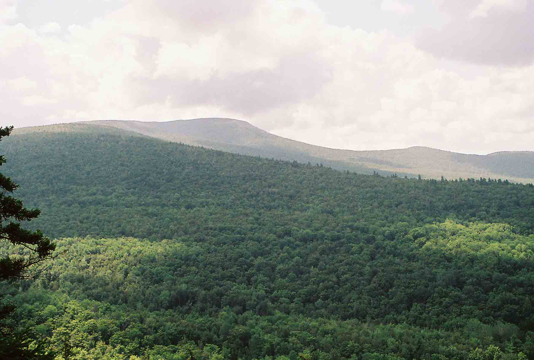
mm 5.8 - Smart's Mt. from Eastman Ledges
Submitted by dlcul @ conncoll.edu
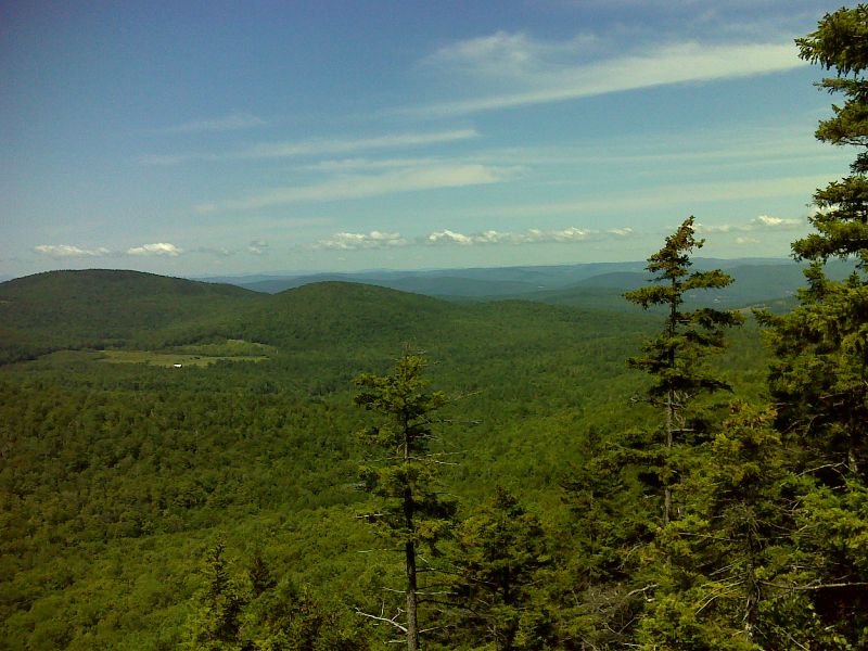
mm 5.8 View from Eastman Ledges. GPS N43.8671 W72.0328
Submitted by pjwetzel @ gmail.com
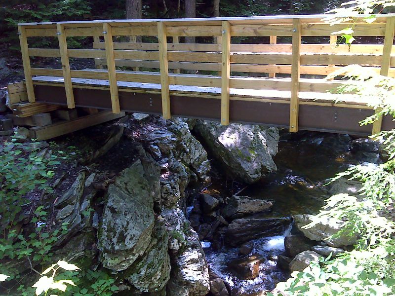
mm 6.3 New footbridge over South Jacobs Brook. Taken in July 2012. GPS N43.8651 W72.0381
Submitted by pjwetzel @ gmail.com
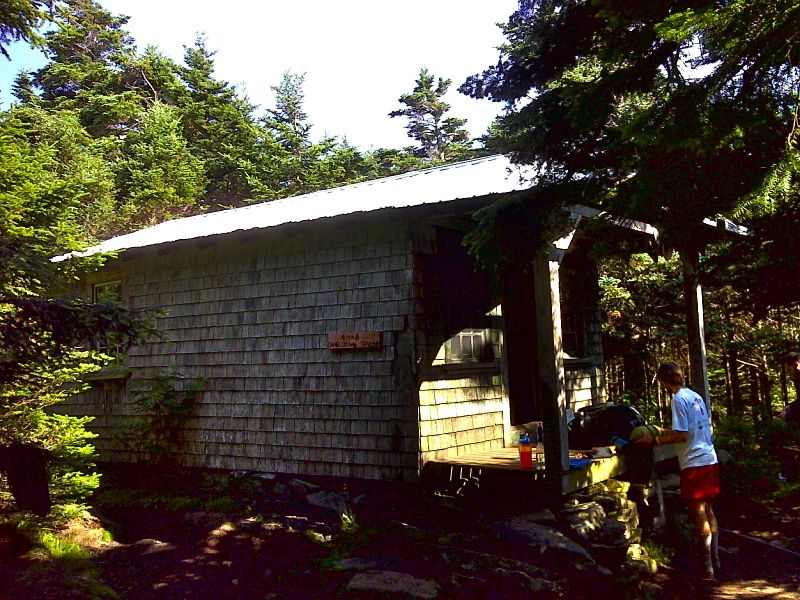
mm 10.2 Fire Wardens Cabin, now an AT shelter on the summit of Smarts Mountain. GPS N43.8263 W72.0374
Submitted by pjwetzel @ gmail.com
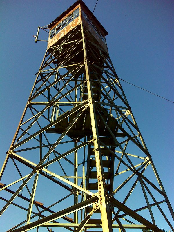
mm 10.2 Smarts Mountain firetower. GPS N43.8255 W72.0380
Submitted by pjwetzel @ gmail.com
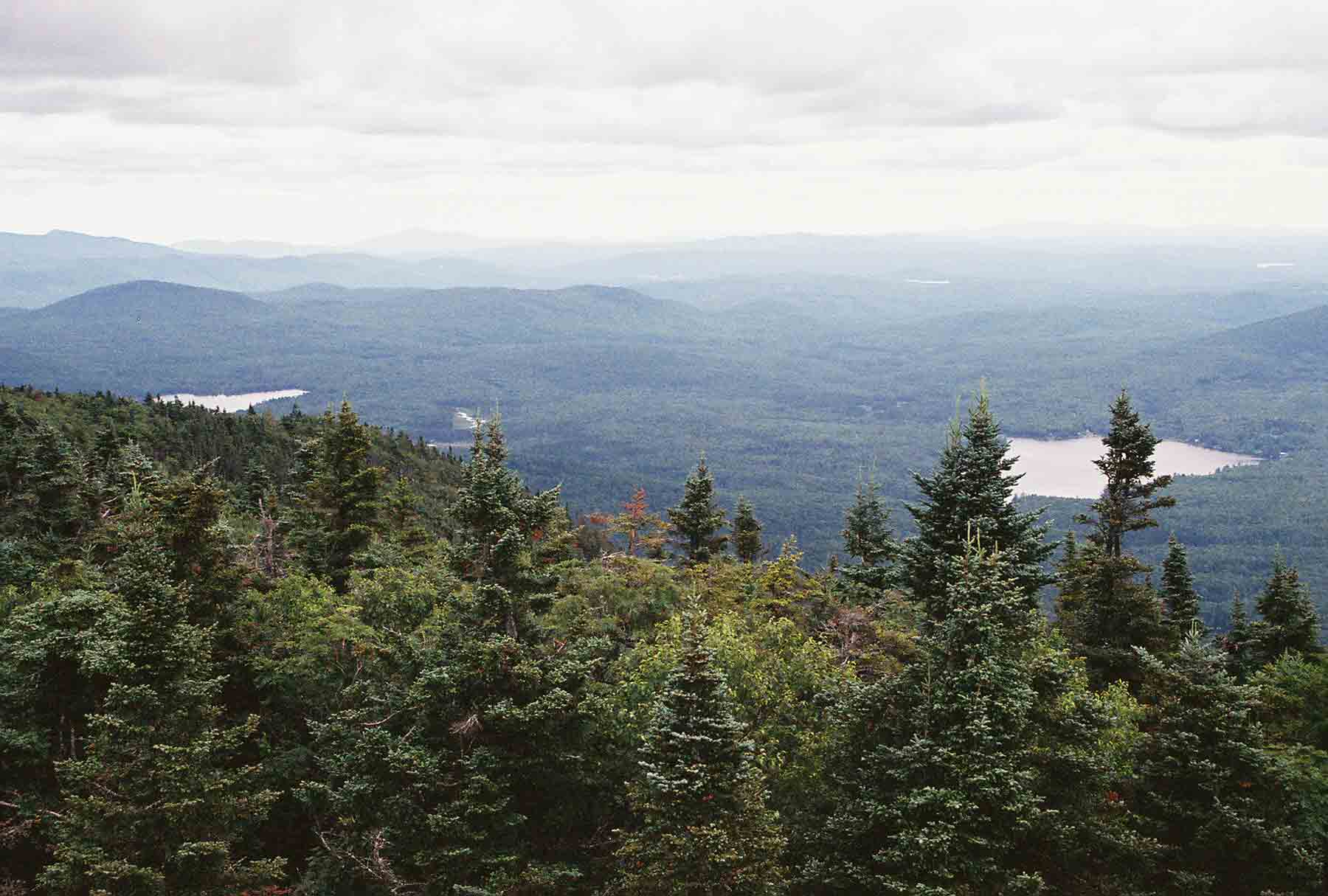
mm 10.2 - View E. from Smart's Mt. firetower
Submitted by dlcul @ conncoll.edu
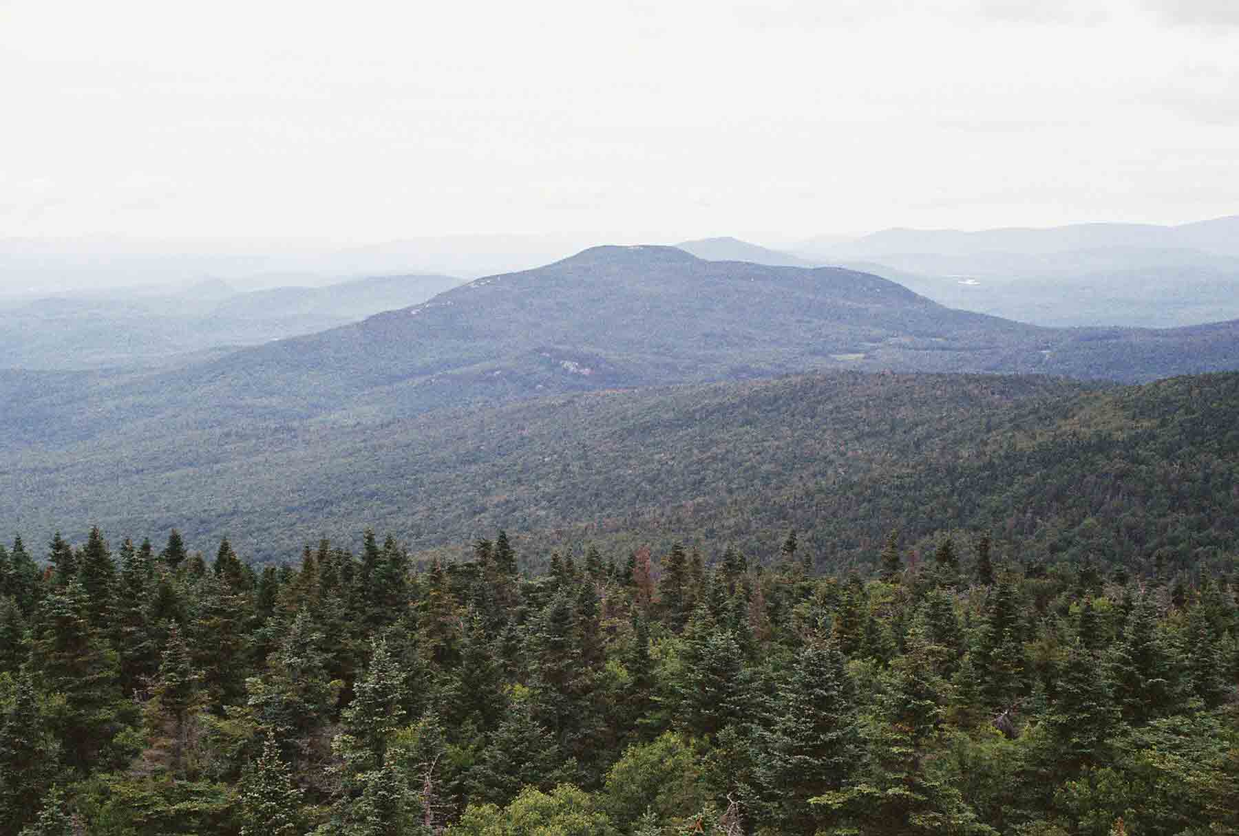
mm 10.2 View North from Smart's Mt. Firetower towards Mt. Cube. The northbound AT descends the ridge on the right to S. Jacobs Brook, then goes up and over Mt. Cube.
Submitted by dlcul @ conncoll.edu
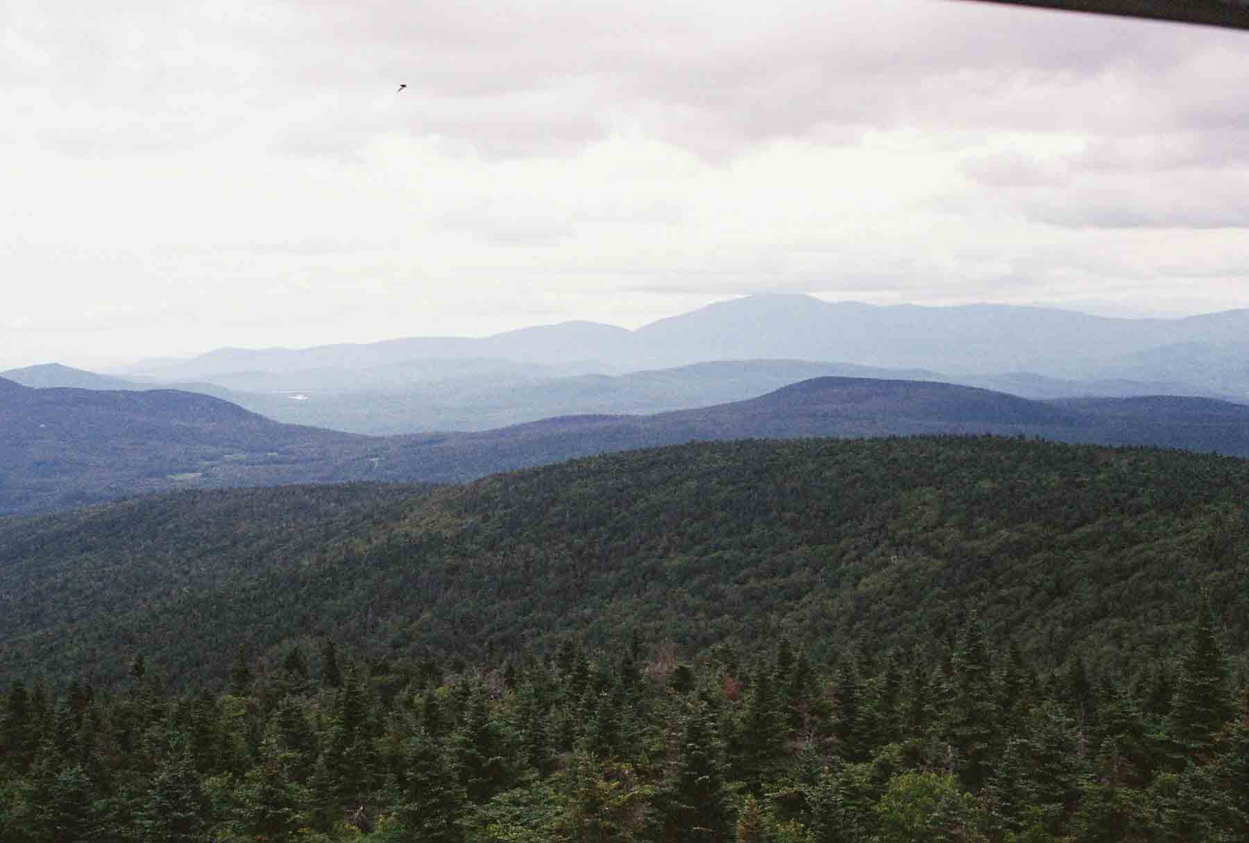
mm 10.2 View Northeast from Smart's Mt. Firetower. The large mountain in distance is Mt. Moosilauke which the AT climbs.
Submitted by dlcul @ conncoll.edu