NH Section 8 Pictures - Milemarker 10.2 - 16.0
Smart's Mt. - Dartmouth Skiway
Move your mouse across the pictures for more information.
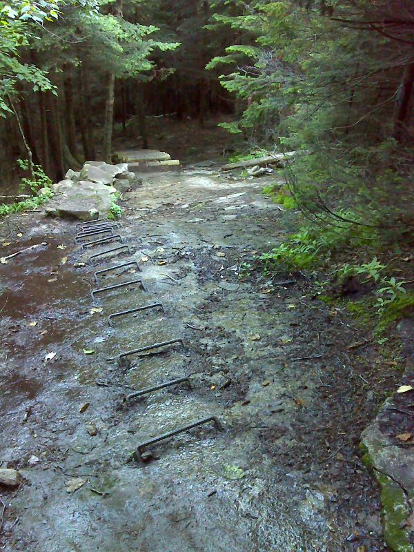
Three ways to climb wet smooth sloping bedrock on the south side of Smarts Mountain. GPS N43.8272 W72.0436
Submitted by pjwetzel @ gmail.com
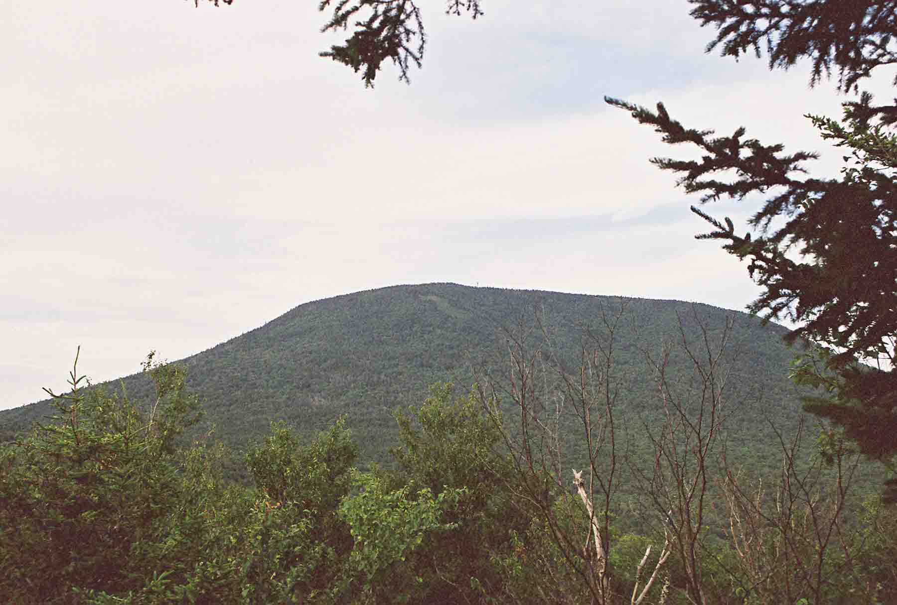
mm 12.2 - View of the steep south face of Smart's Mt. taken from Lamberts Ridge. The firetower can vaguely be seen at the summit.
Submitted by dlcul @ conncoll.edu

Smarts Mountain from Lambert Ridge, GPS N43.8167 W72.0607
Submitted by pjwetzel @ gmail.com
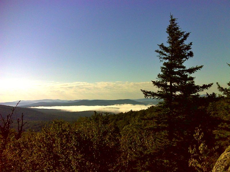
Morning view from Lambert Ridge GPS N43.8149 W72.0612
Submitted by pjwetzel @ gmail.com
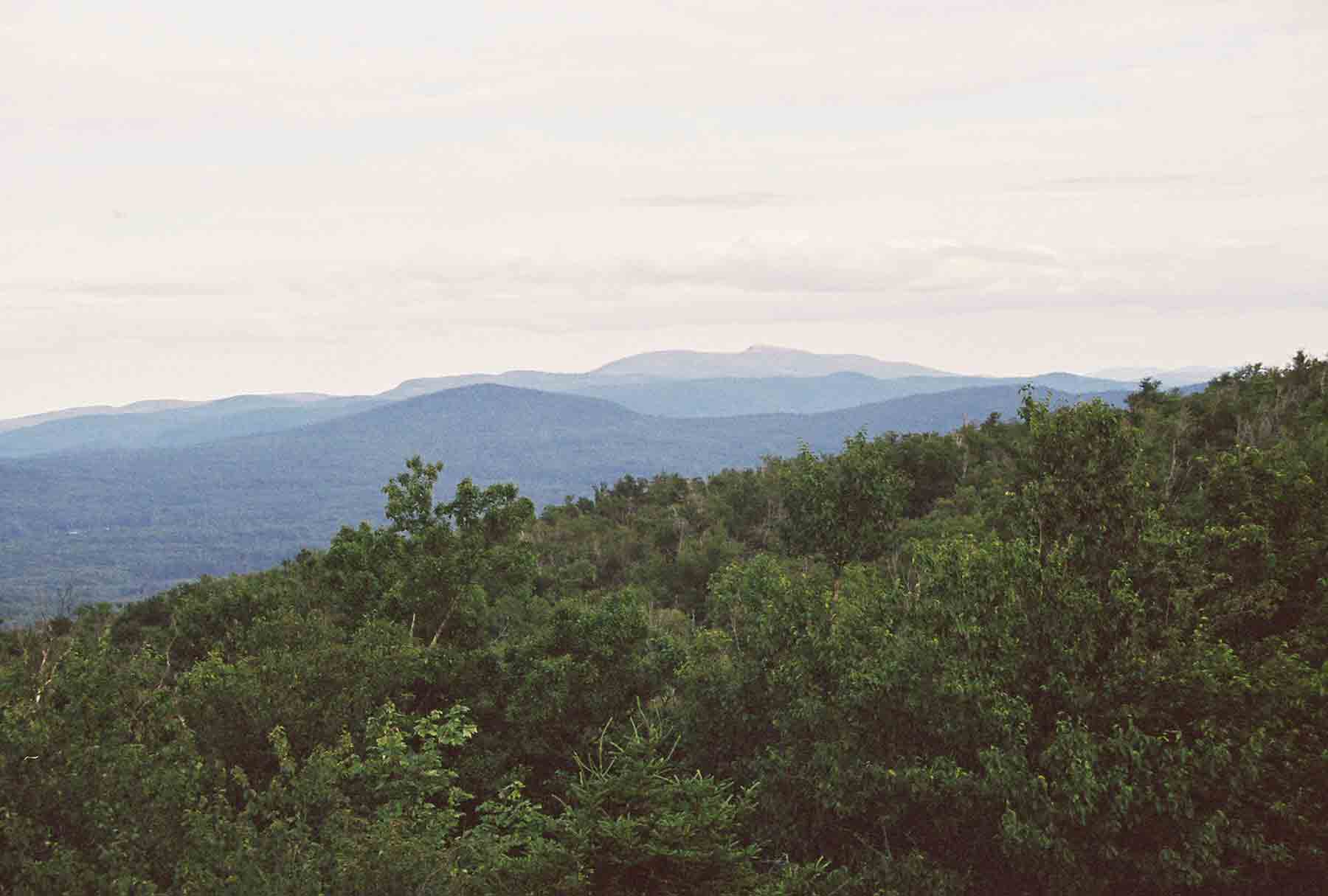
View SE from the south end of Lamberts Ridge. Taken at approx. Mile 13.0
Submitted by dlcul @ conncoll.edu
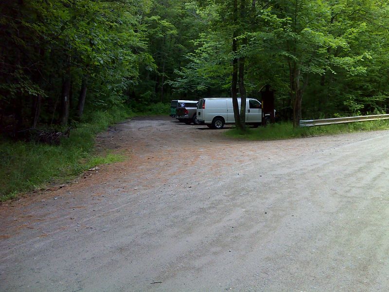
mm 14.0 Parking at trail crossing of Lyme-Dorchester Road. GPS 43.7971 W72.0717
Submitted by pjwetzel @ gmail.com
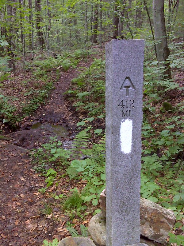
Trailside granite mile marker. The distance to Katahdin seen on the marker is no longer correct. GPS 43.7964 W72.0761
Submitted by pjwetzel @ gmail.com
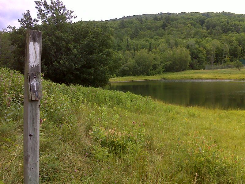
mm 16.0 Pond near Dartmouth Skiway. GPS 43.7922 W72.1012
Submitted by pjwetzel @ gmail.com