NH Section 9 Pictures - Milemarker 1.9 - 6.6
Holts Ledges - Moose Mt. Shelter
Move your mouse across the pictures for more information.
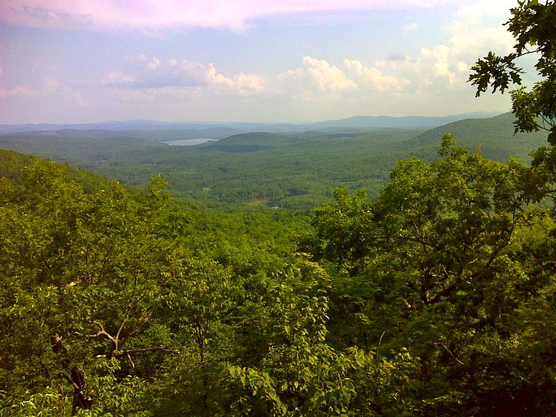
Vistas on south slopes a half mile south of Holts Ledge. GPS N43.7687 W72.1161
Submitted by pjwetzel @ gmail.com
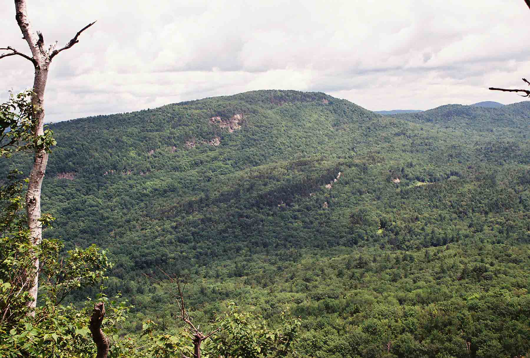
mm 1.9 - Looking South from Holts Ledges to North Moose Mt.
Submitted by dlcul @ conncoll.edu
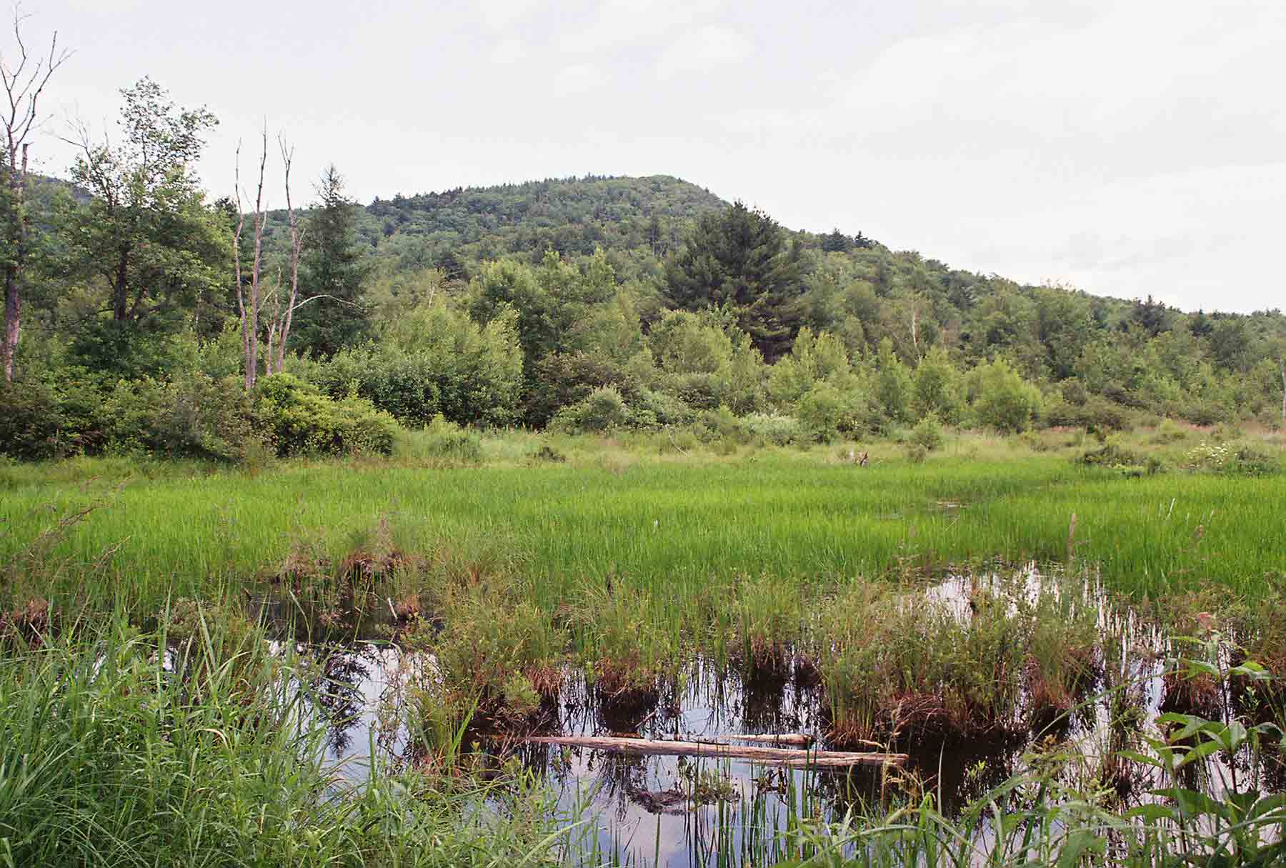
Marsh at approx. Mile 3.2 just north of Goose Pond Road
Submitted by dlcul @ conncoll.edu
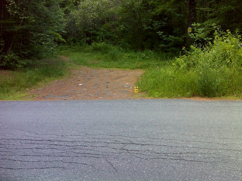
mm 3.4 Small parking area on Goose Pond Road. The trail passes through it. GPS N43.7533 W72.1246
Submitted by pjwetzel @ gmail.com
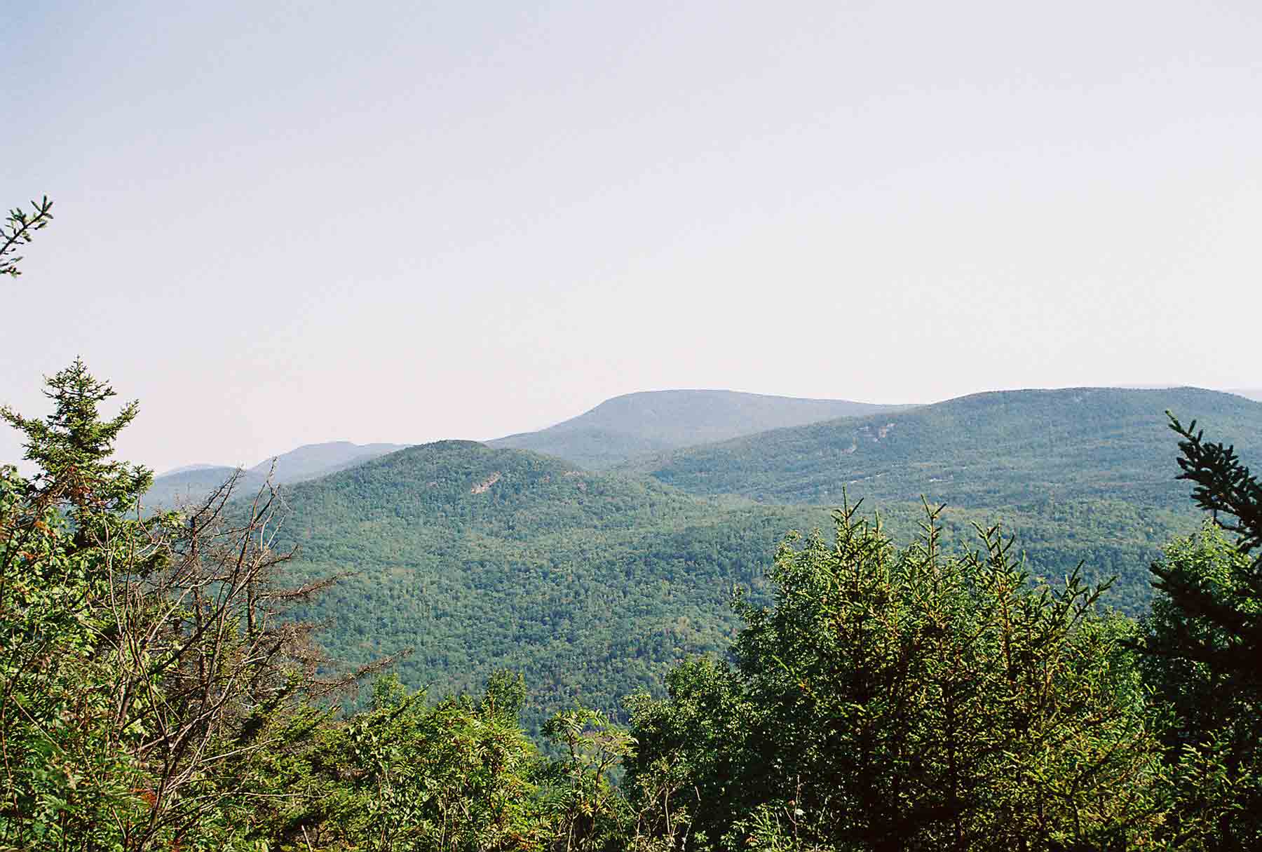
View from ledge at approx. Mile 4.9 on north side of North Moose Mt. Large peak is Smarts Mt. The one in foreground is Holts Ledges. The peak in the distance and to the left of Smarts is Mt. Cube. The AT climbs all three.
Submitted by dlcul @ conncoll.edu
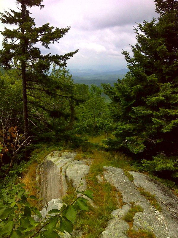
Viewpoint near north summit of Moose Mountain. GPS N43.7400 W72.1372
Submitted by pjwetzel @ gmail.com
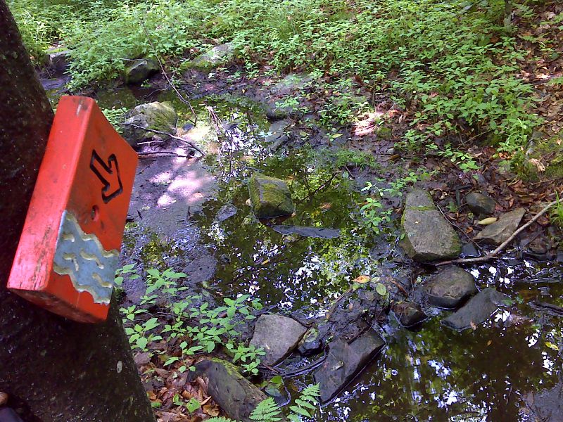
Fun with Signs 1. Dartmouth Outing Club (DOC) sign indicating a stream. GPS 43.7286 N72.1497
Submitted by pjwetzel @ gmail.com
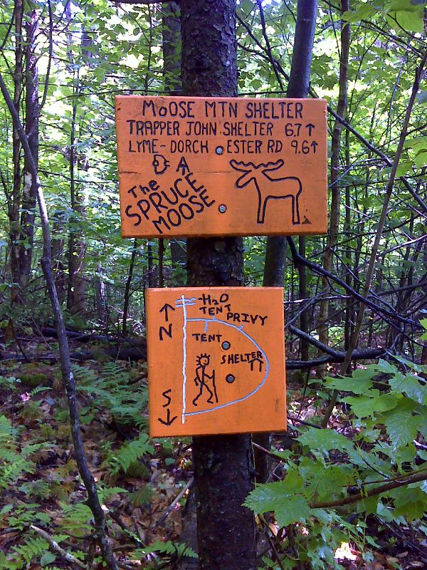
mm 6.6 Fun with Signs 2. Dartmouth Outing Club (DOC) signs at intersection with side trail to Moose Mountain Shelter. GPS 43.7268 N72.1497
Submitted by pjwetzel @ gmail.com