NJ Section 1 Pictures - Milemarker 0.3 - 1.9
Ernest Walter Trail - Grassy Road
Move your mouse across the pictures for more information.
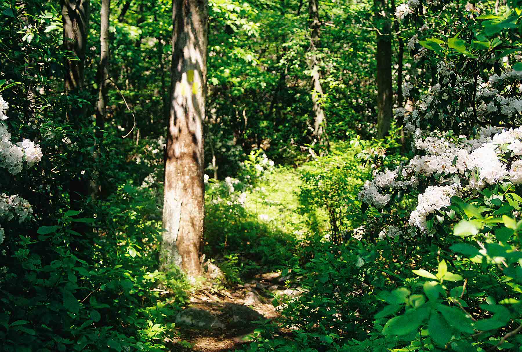
mm 0.3 - Laurel along the trail approaching the ridge of Bearfort Mt. The yellow blazes mark the junction with the Walter Trail. Update (2012): The dead tree with blazes may have fallen.
Submitted by dlcul @ conncoll.edu
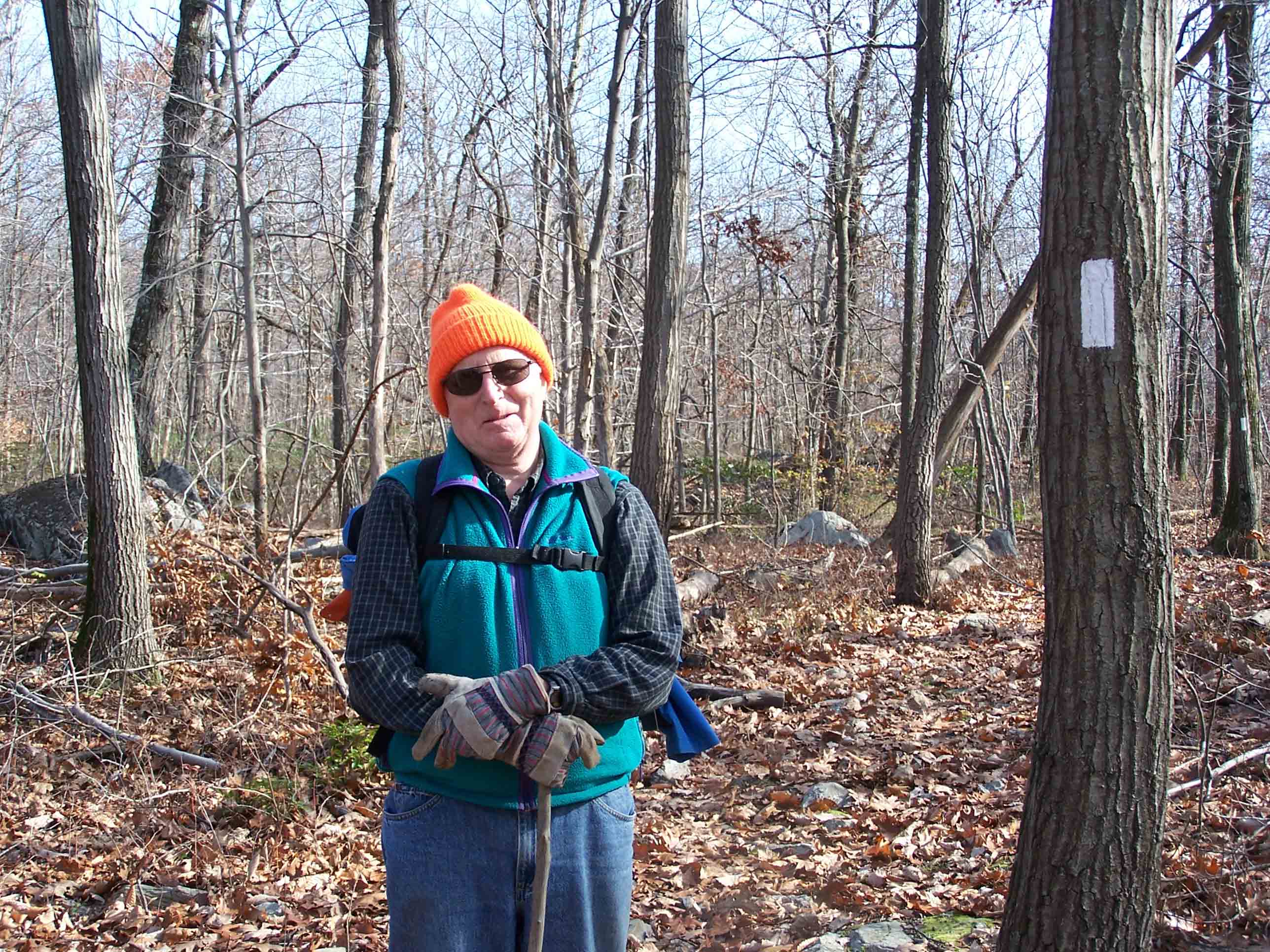
This is Fred who maintains the trail from the New York state line to Long House Road.
Submitted by at @ rohland.org

mm 1.0 Dirt road where AT turns
Submitted by at @ rohland.org
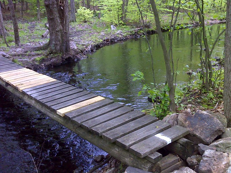
mm 1.1 Footbridge across Long House Creek, repaired after Hurricane Irene. GPS N41.1964 W 74.3555
Submitted by pjwetzel @ gmail.com
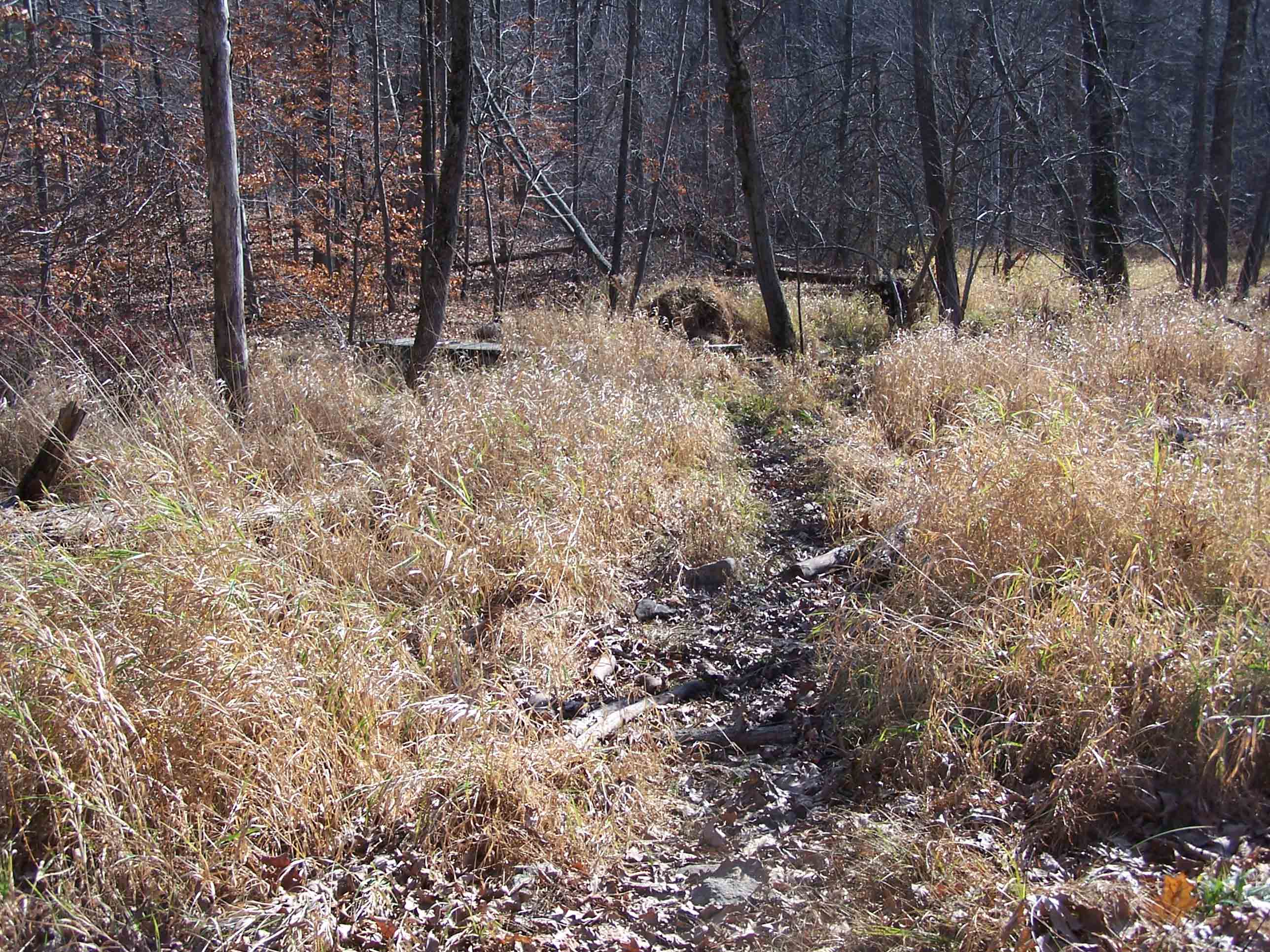
mm 1.5 Wooden bridge
Submitted by at @ rohland.org
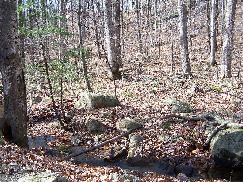
mm 1.6 Stream
Submitted by at @ rohland.org
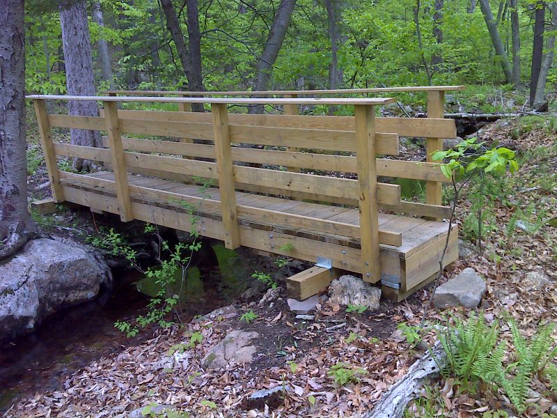
Brand new footbridge (2012) close to Long House Road. GPS N41.1961 W 74.3615
Submitted by pjwetzel @ gmail.com
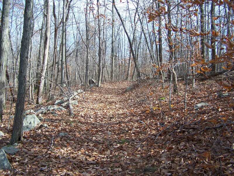
mm 1.9 Grassy woods road
Submitted by at @ rohland.org