NJ Section 1 Pictures - Milemarker 2.2 - 3.9
Long House Road - Park Headquarters Trail
Move your mouse across the pictures for more information.
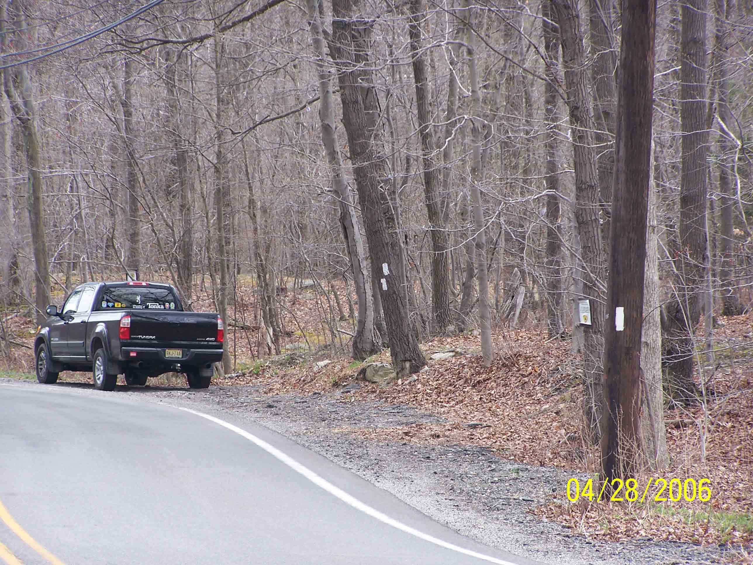
mm 2.2 - Parking at Long House Road (Brady Road) - 4/28/07
Submitted by at @ rohland.org
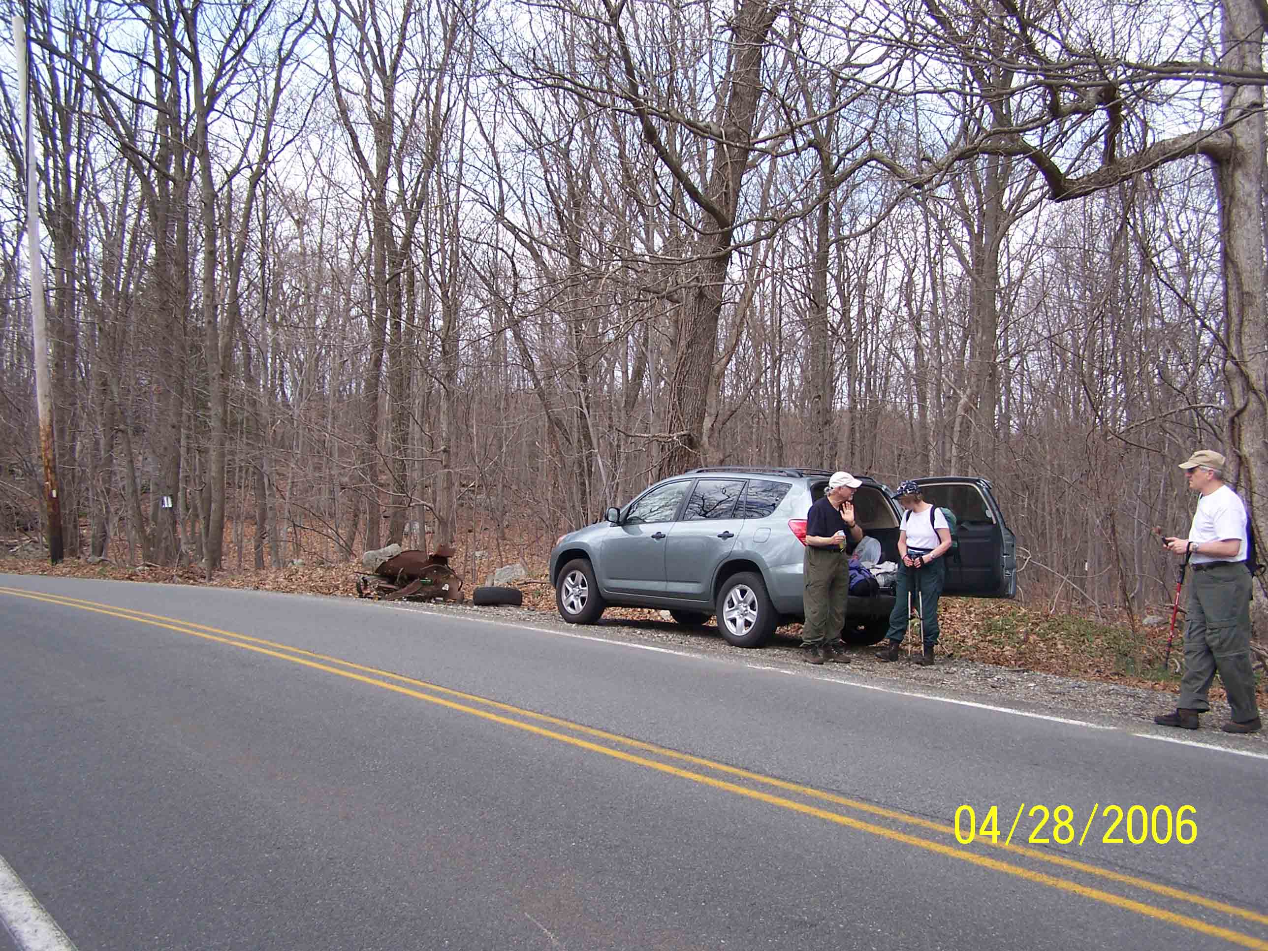
mm 2.2 - Parking at Long House Road (Brady Road) - 4/28/07
Submitted by at @ rohland.org
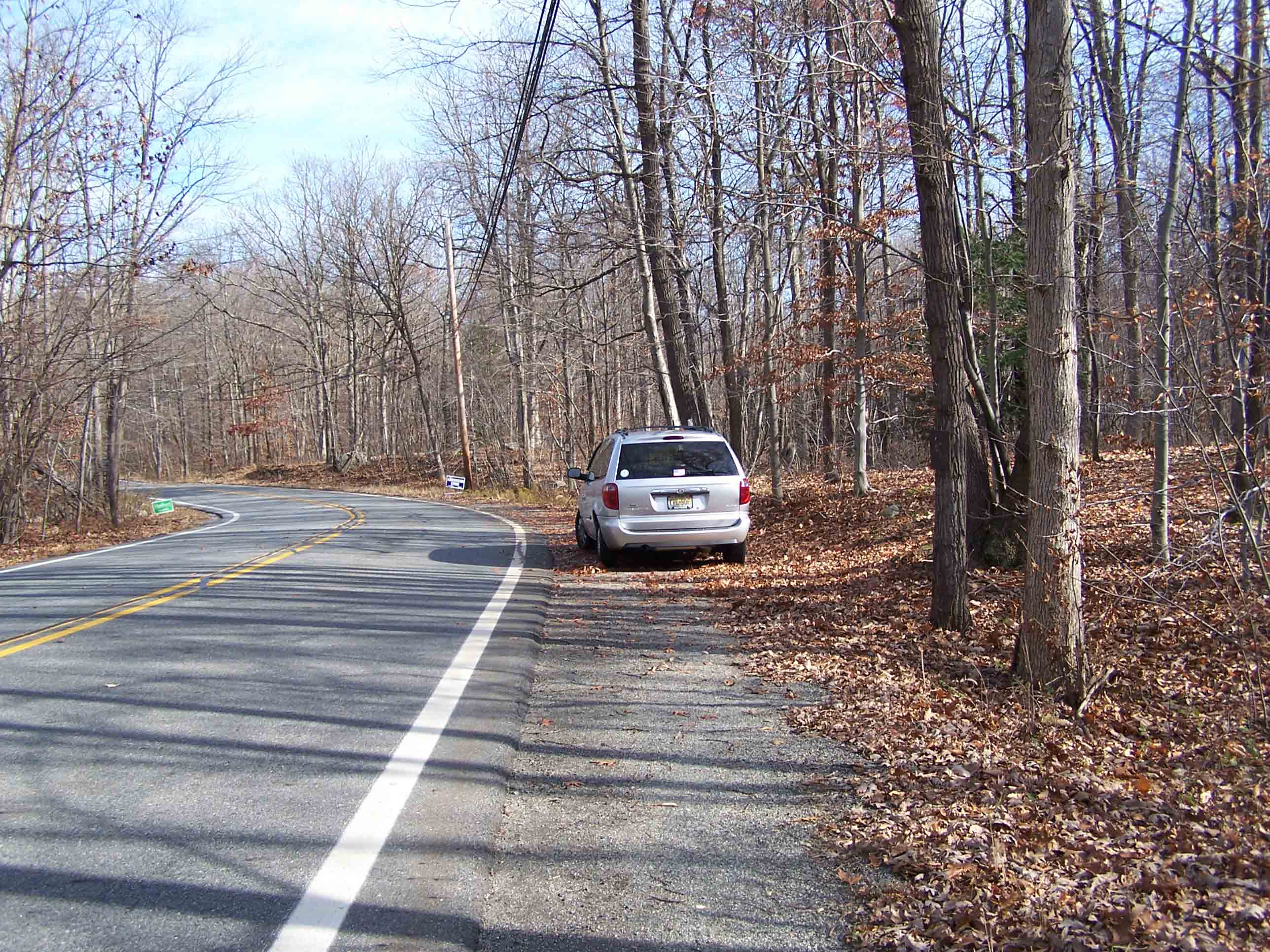
mm 2.2 Parking at Long House Road (called Brady Road when coming south from New York)
Submitted by at @ rohland.org
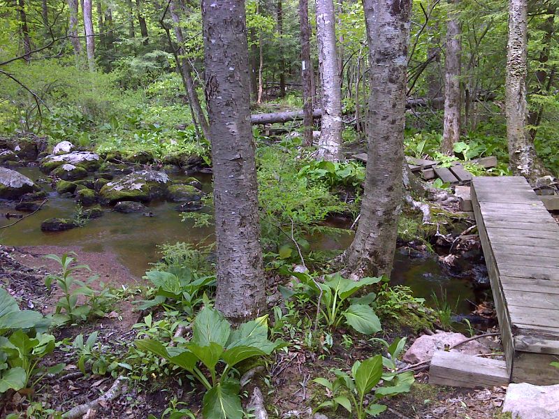
mm 3.1 Stream crossing east (trail north) of Warwick Turnpike. GPS N41.2007 W 74.3826
Submitted by pjwetzel @ gmail.com
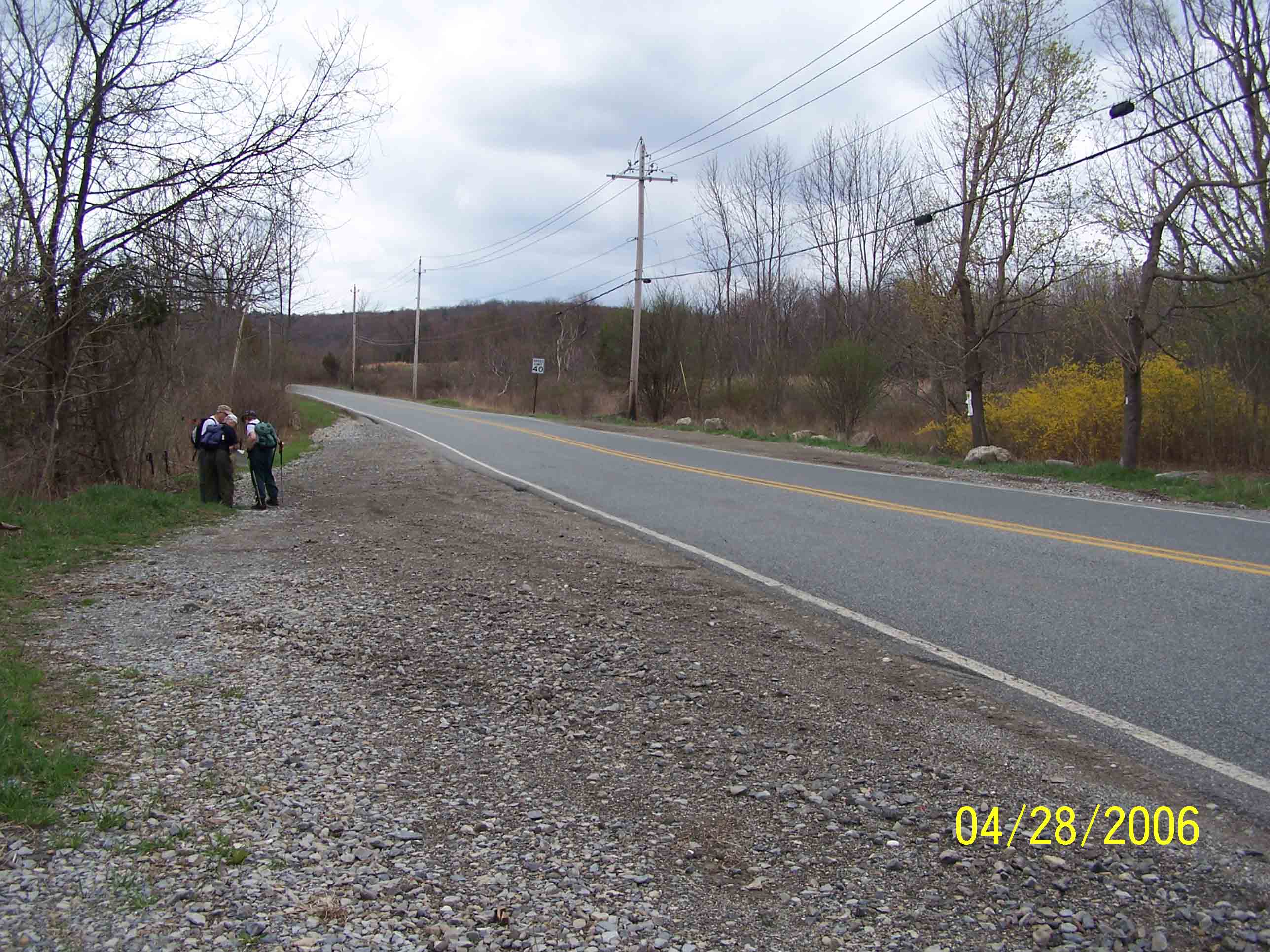
mm 3.6 - Warwick Turnpike parking - 4/28/07
Submitted by at @ rohland.org
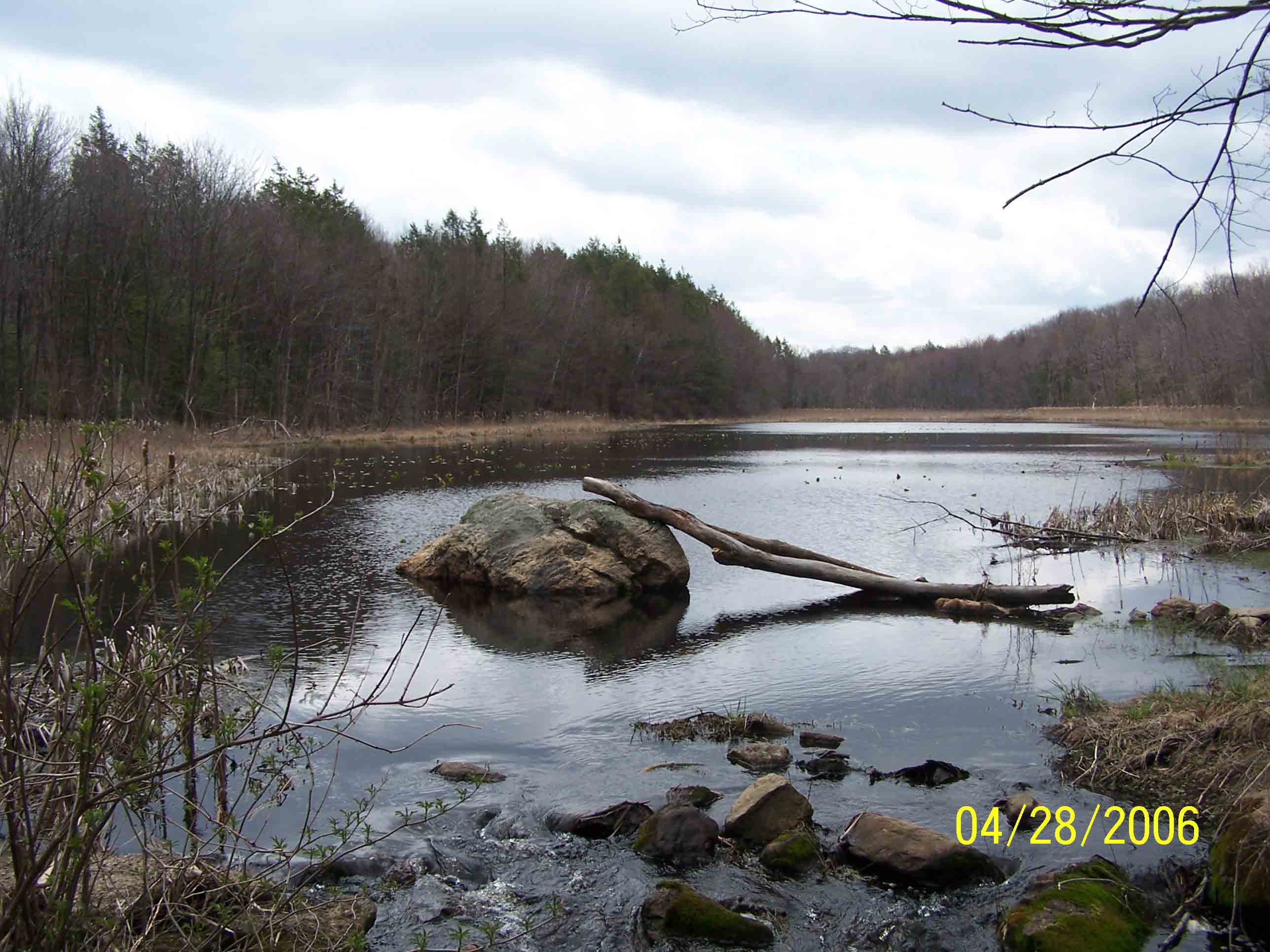
mm 3.8 Pond along trail - 4/28/07
Submitted by at @ rohland.org
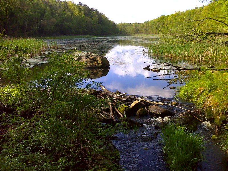
mm 3.8 Swampy Pond in Wawayanda State Park. GPS N41.2012 W 74.3951
Submitted by pjwetzel @ gmail.com
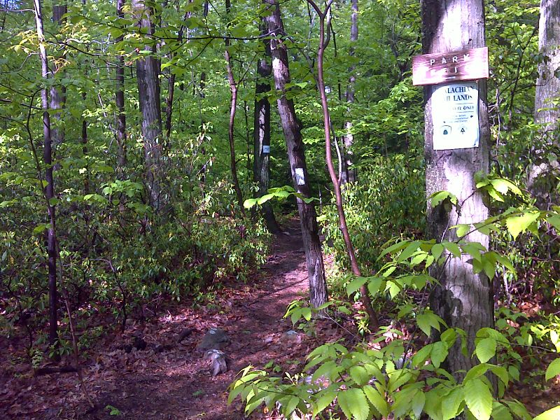
mm 3.9 Blue-blazed trail leads 0.2 miles to park headquarters where the is parking and water. GPS N41.2012 W 74.3964
Submitted by pjwetzel @ gmail.com