NJ Section 1 Pictures - Milemarker 3.9 - 4.9
Park Headquarters Trail - Iron Bridge
Move your mouse across the pictures for more information.
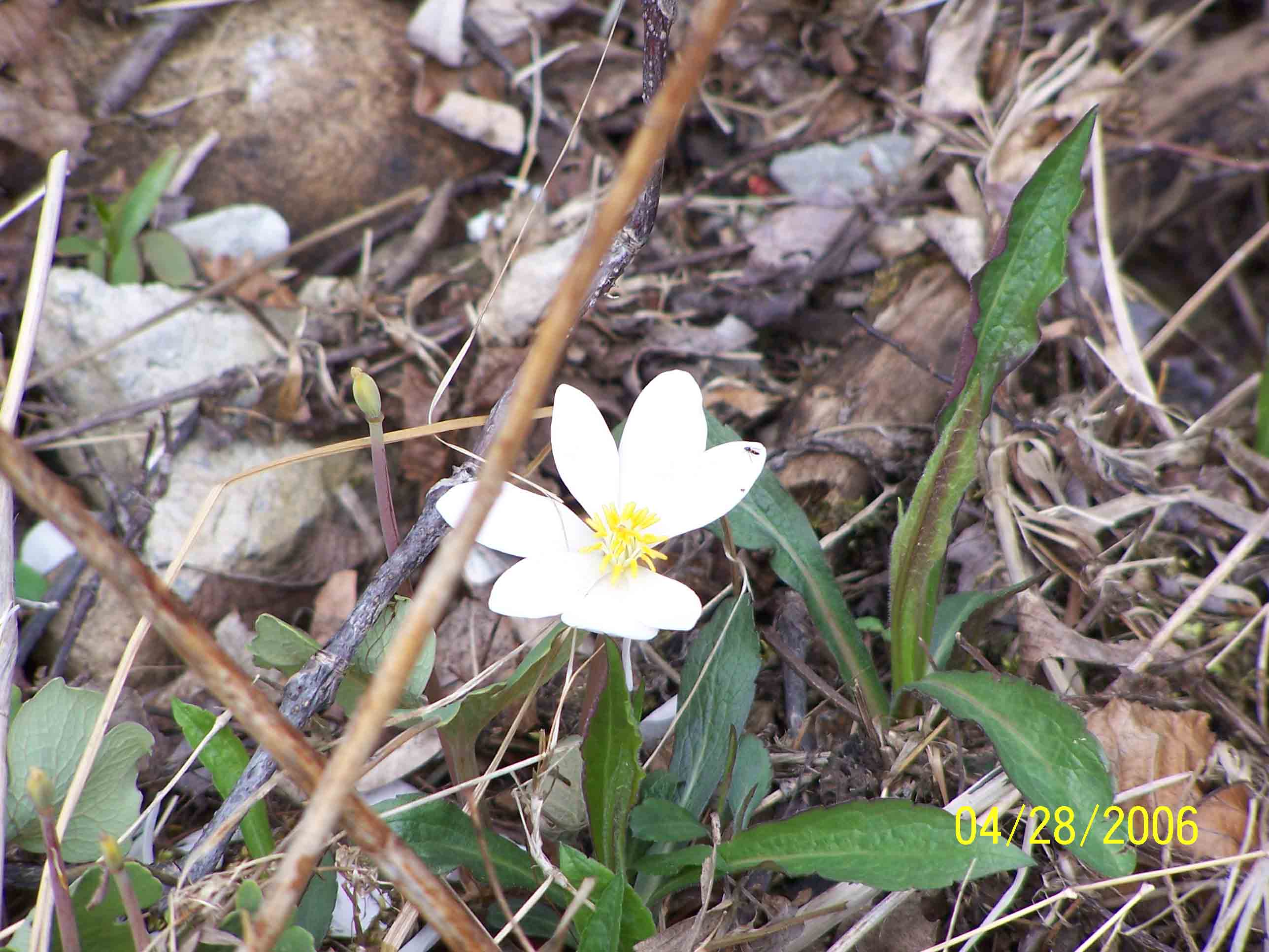
Spring foliage - 4/28/07
Submitted by at @ rohland.org
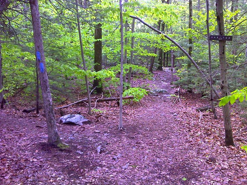
mm 4.1 Side trail to Wawayanda Shelter. GPS N41.2018 W 74.3989
Submitted by pjwetzel @ gmail.com
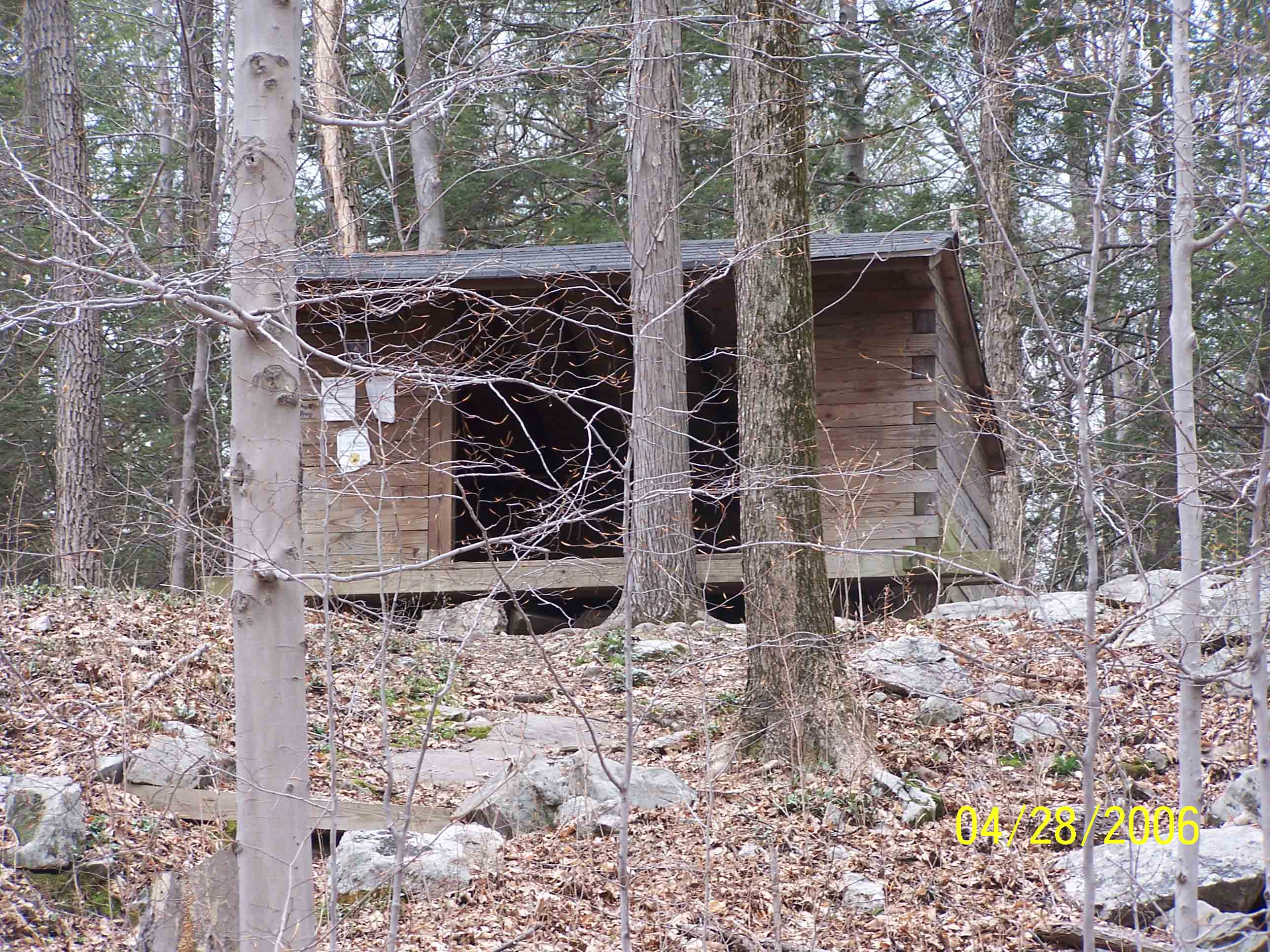
mm 4.1 - Wawayanda Shelter - 4/28/07
Submitted by at @ rohland.org
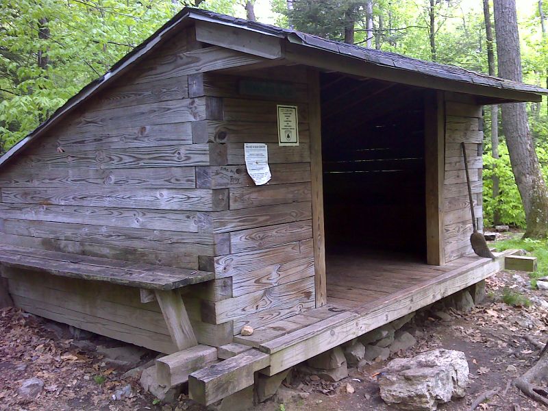
mm 4.1 Wawayanda Shelter. GPS N41.2022 W 74.3989
Submitted by pjwetzel @ gmail.com
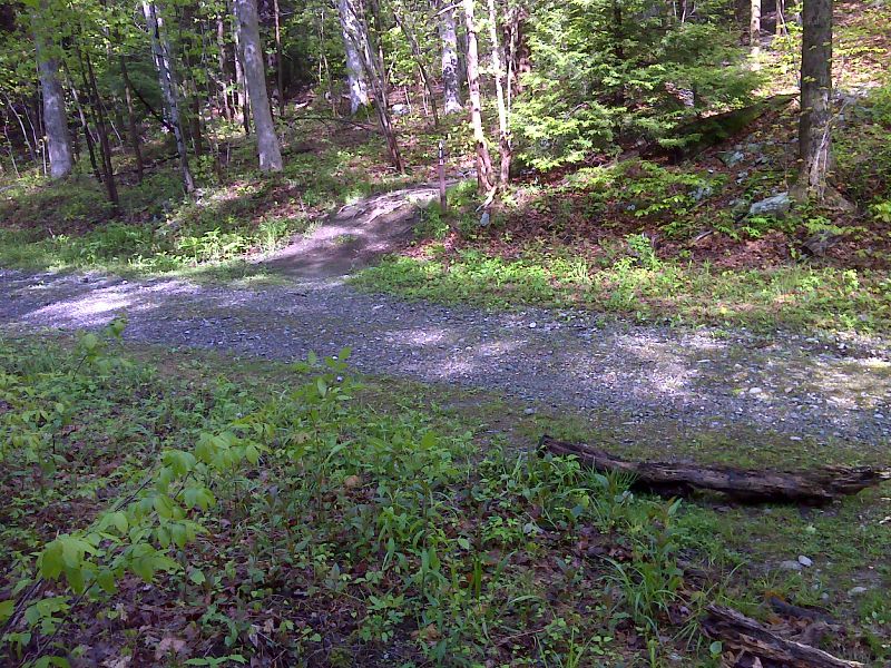
mm 4.3 The AT crosses a state park service road (Wawayanda Road). GPS N41.2030 W 74.4005
Submitted by pjwetzel @ gmail.com
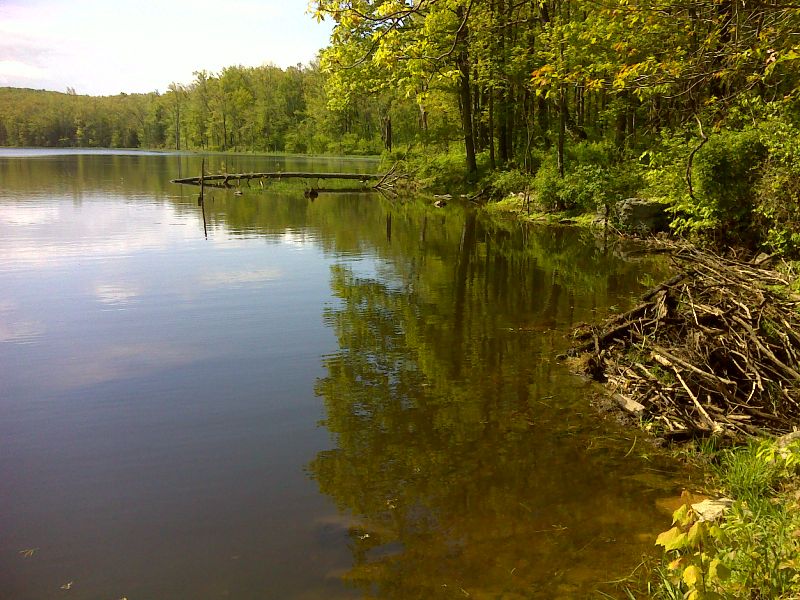
Small Lake beside trail. GPS N41.2030 W 74.4089
Submitted by pjwetzel @ gmail.com
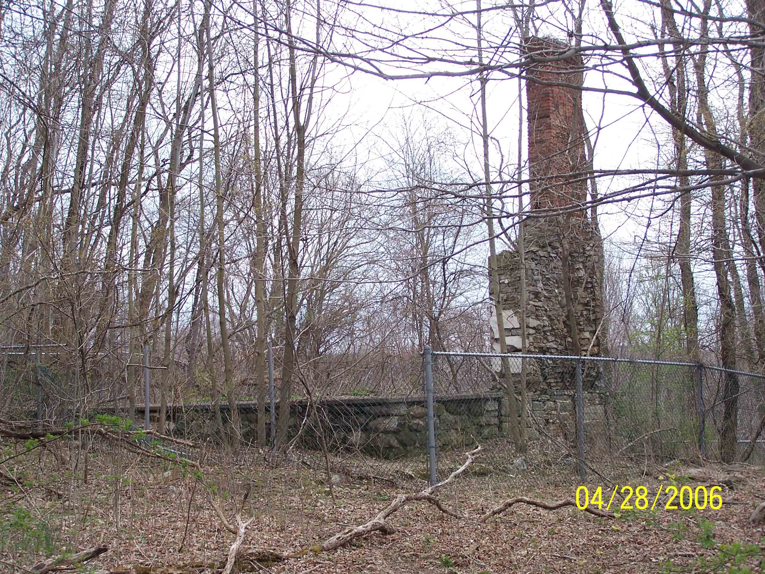
mm 4.8 - Stone foundations of Kazmar house, built around 1815 and demolished in 1991 - 4/28/07. Update (2012) Because of a relcoation, this landmark on Iron Mountain Road is no longer on the AT but is north of the trail.
Submitted by at @ rohland.org
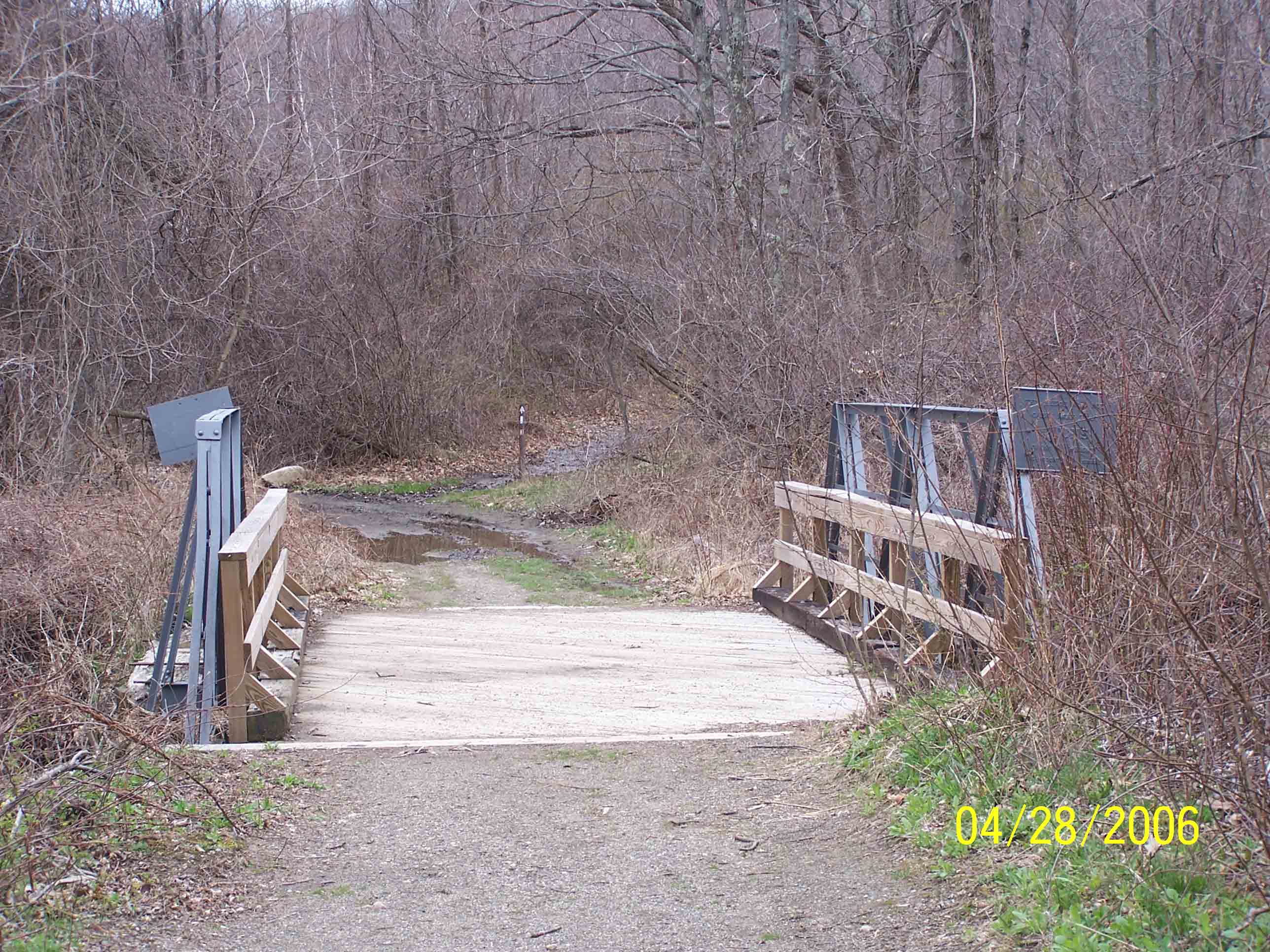
mm 4.9 - Cross 1890's era iron bridge over the Double Kill stream - 4/28/07
Submitted by at @ rohland.org