NJ Section 1 Pictures - Milemarker 4.9 - 6.0
Iron Bridge - Barrett Road
Move your mouse across the pictures for more information.
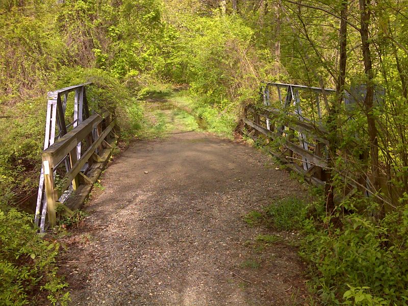
mm 4.9 A late spring view of the old bridge on Iron Mountain Road. Small Lake beside trail. GPS N41.2037 W 74.4113
Submitted by pjwetzel @ gmail.com
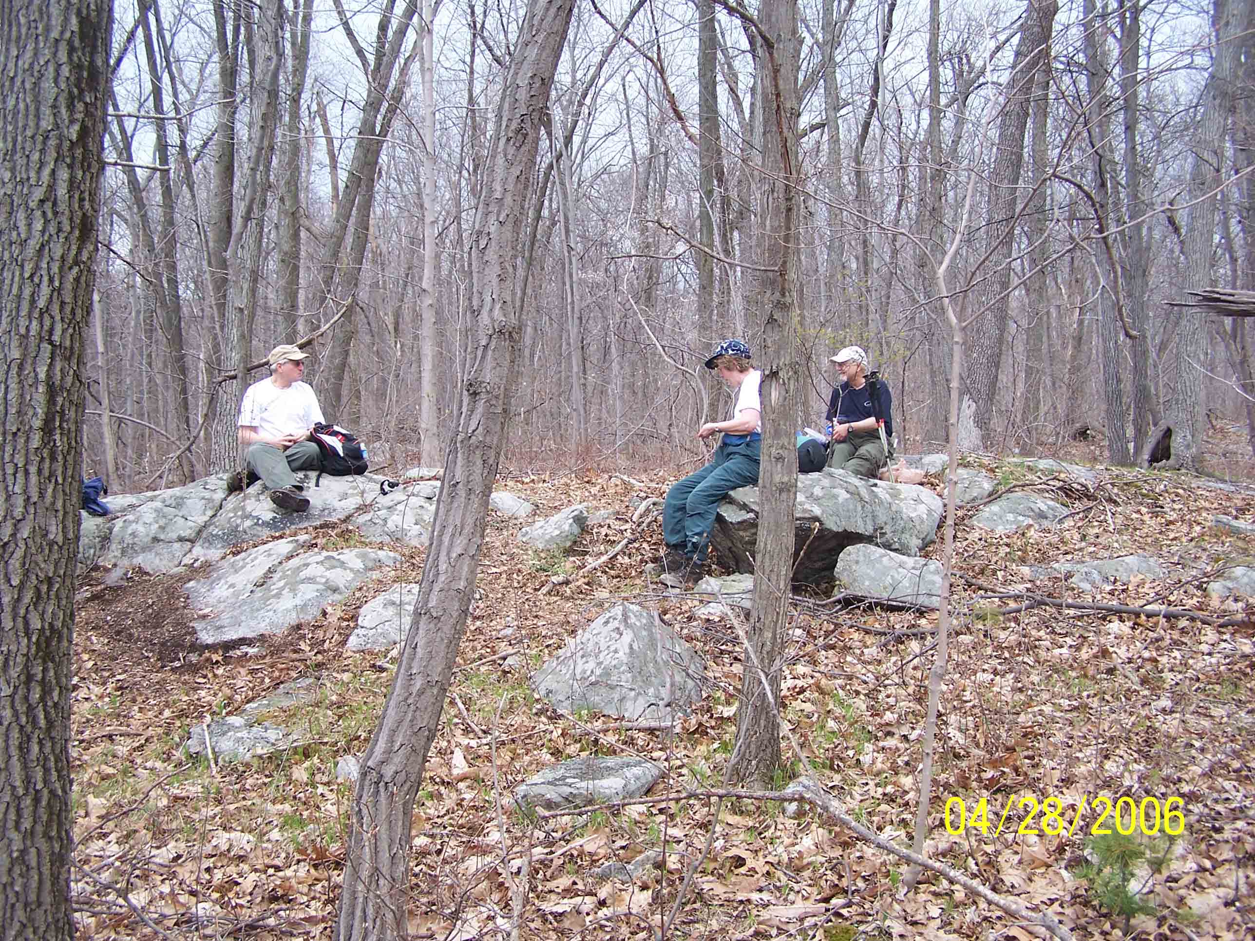
Lunch time - David, Marsha and Barry - 4/28/07
Submitted by at @ rohland.org
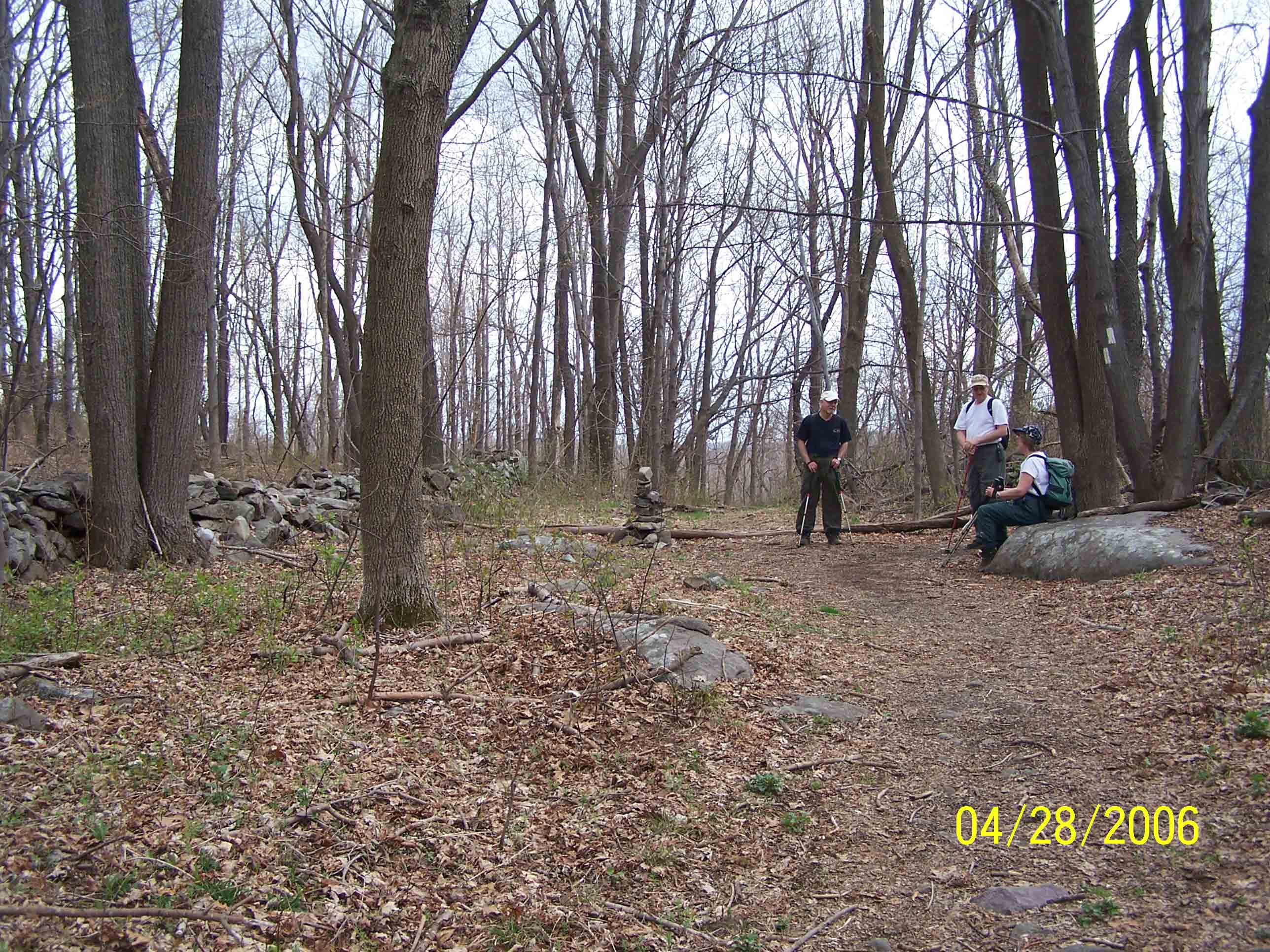
Woods road - 4/28/07
Submitted by at @ rohland.org
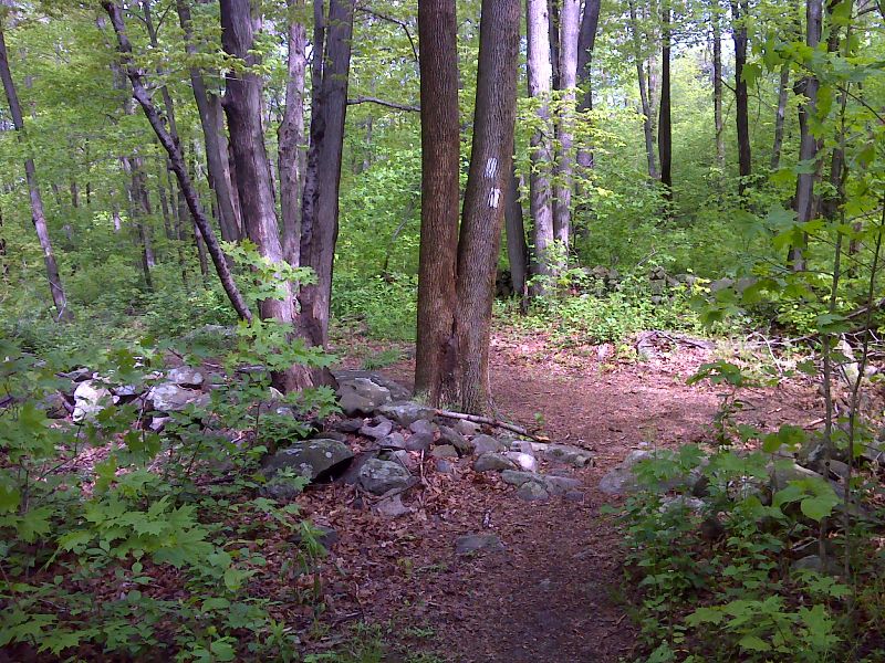
mm 5.7 Southbound AT turns onto old wood road at high point of broad hill. GPS N41.2135 W74.4155
Submitted by pjwetzel @ gmail.com
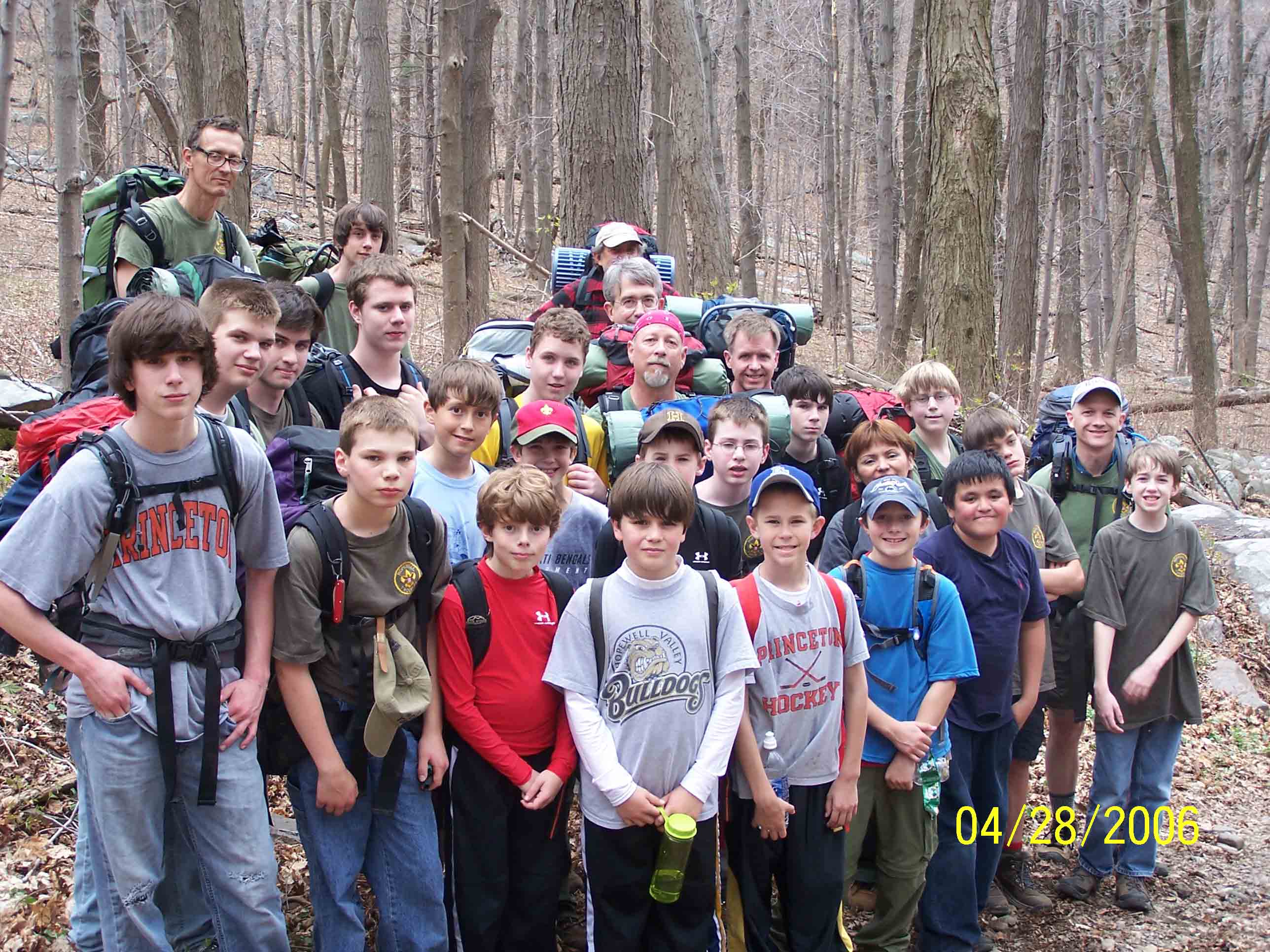
Troop 71 from NJ. Sorry wrong year on picture - it should be 2007.
Submitted by at @ rohland.org
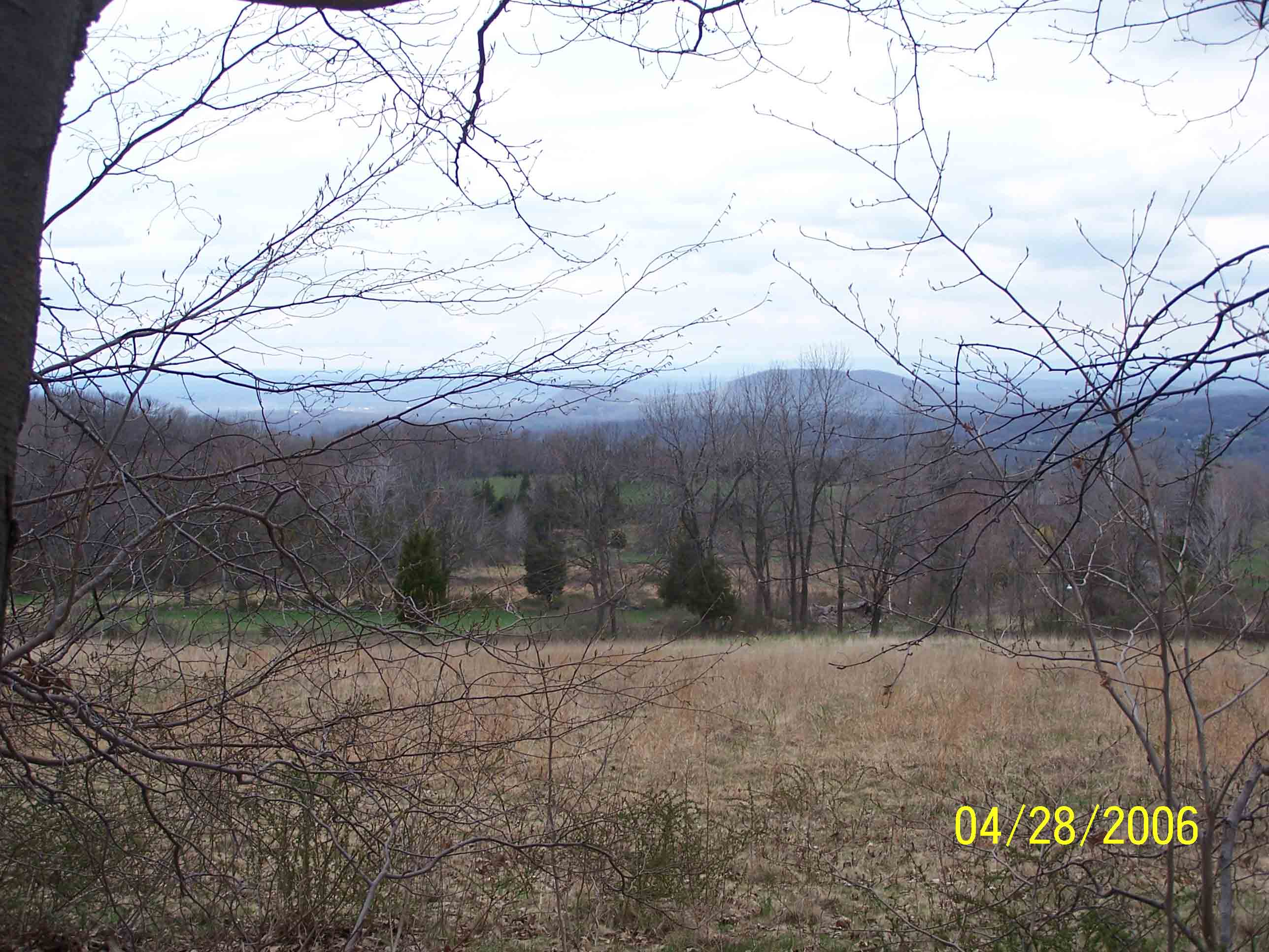
mm 5.8 - View in April from AT as it approaches Barrett Road from the east. The field is part of High Breeze Farm.
Submitted by at @ rohland.org
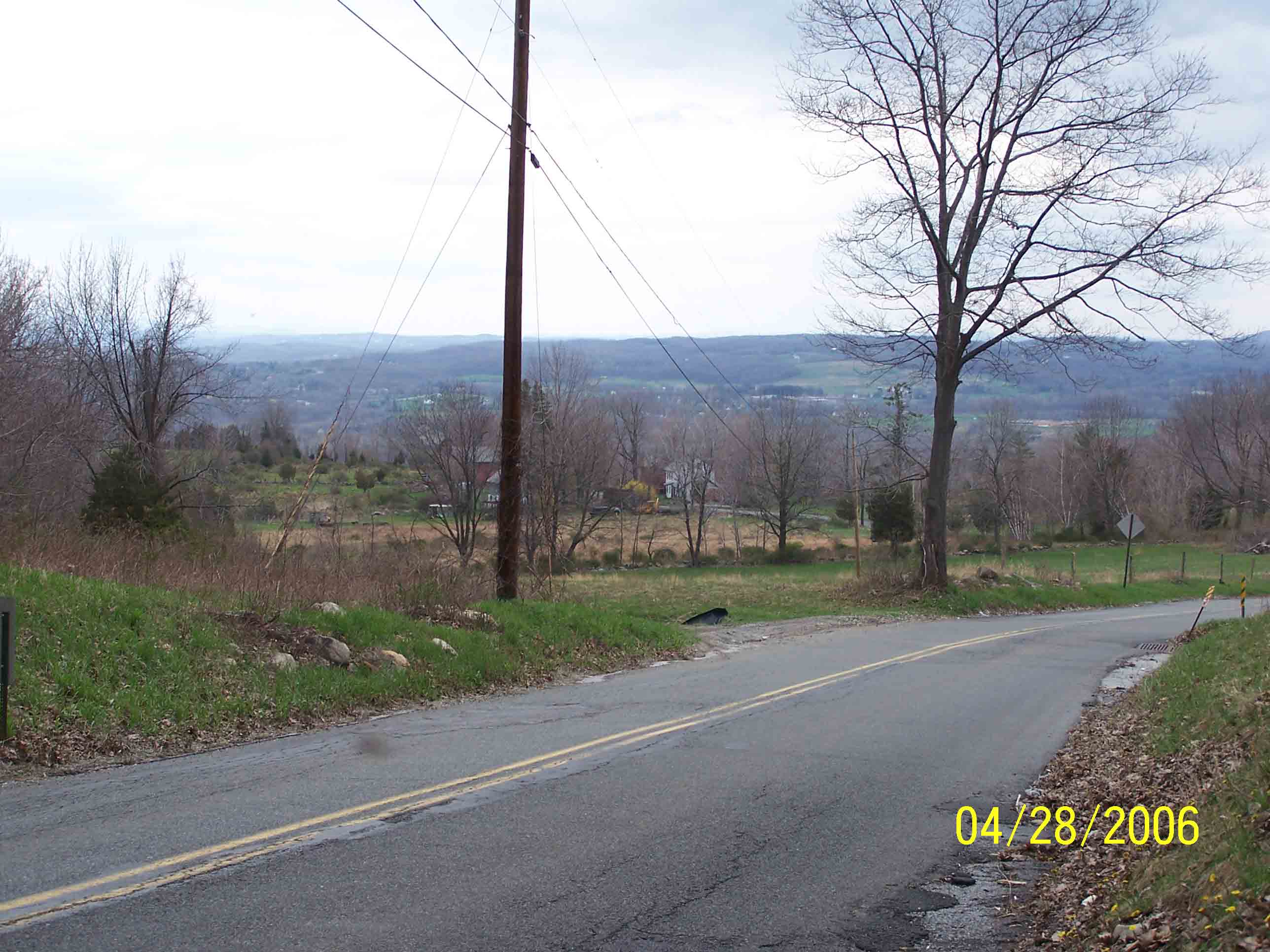
mm 6.0 - Barrett Road - 4/28/07
Submitted by at @ rohland.org
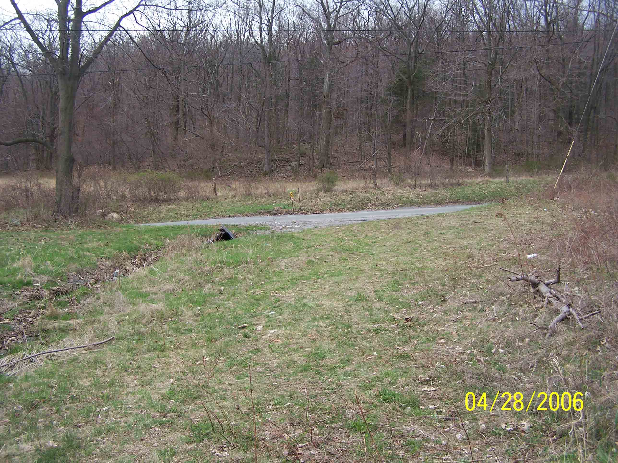
mm 6.0 - Barrett Road parking - 4/28/07
Submitted by at @ rohland.org