NJ Section 2 Pictures - Milemarker 10.2 - 10.7
View from top of hill - Bridge near NJ 284
Move your mouse across the pictures for more information.
mm 10.2 View of Pochuck Mountains from high point in a field
Submitted by dlcul @ conncoll.edu
mm 10.2 View to south from high point of field
Submitted by dlcul @ conncoll.edu
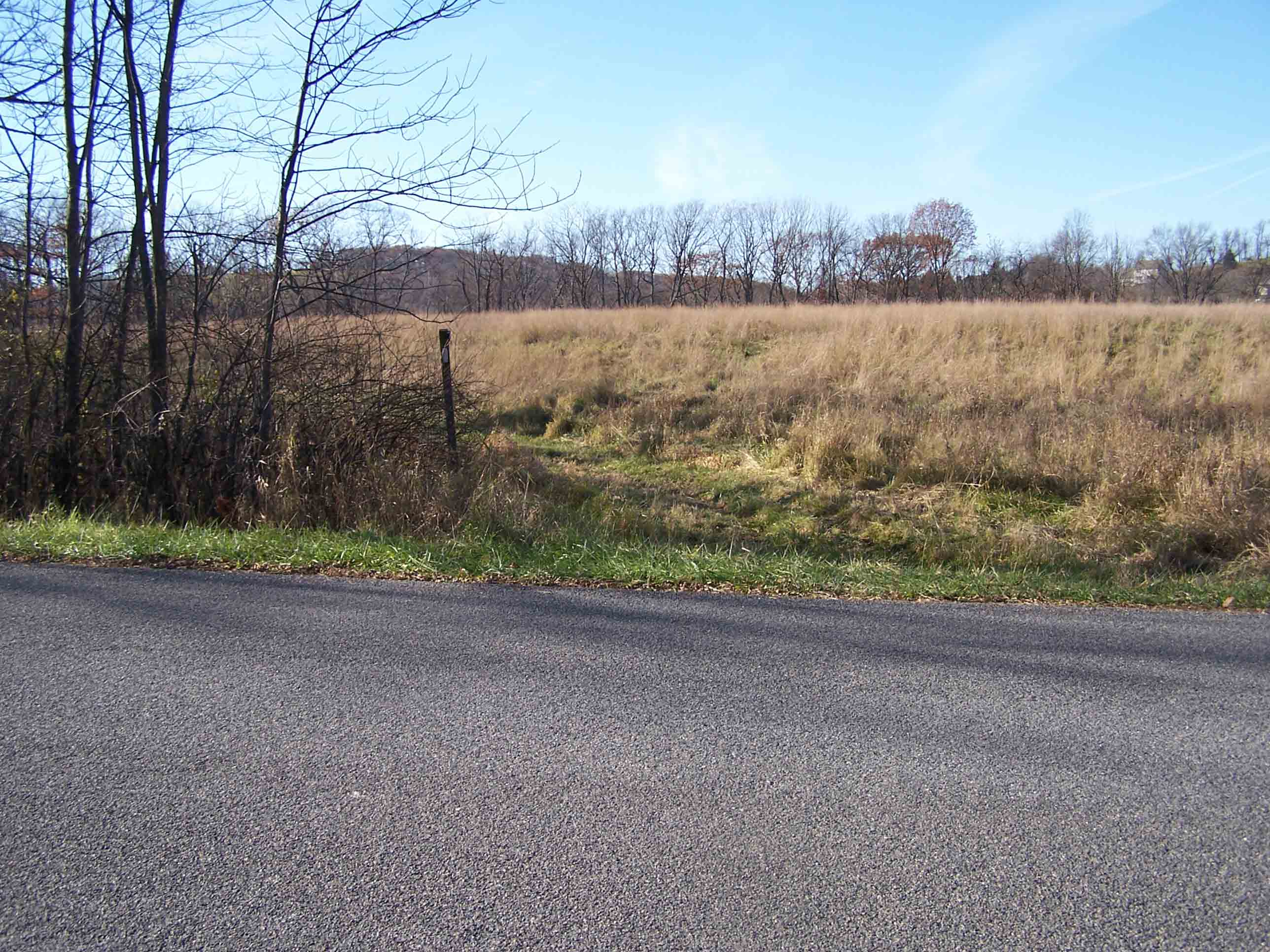
mm 10.3 Paved Oil City Road (Different than the road at mile 9.0-9.5 with the same name)
Submitted by at @ rohland.org
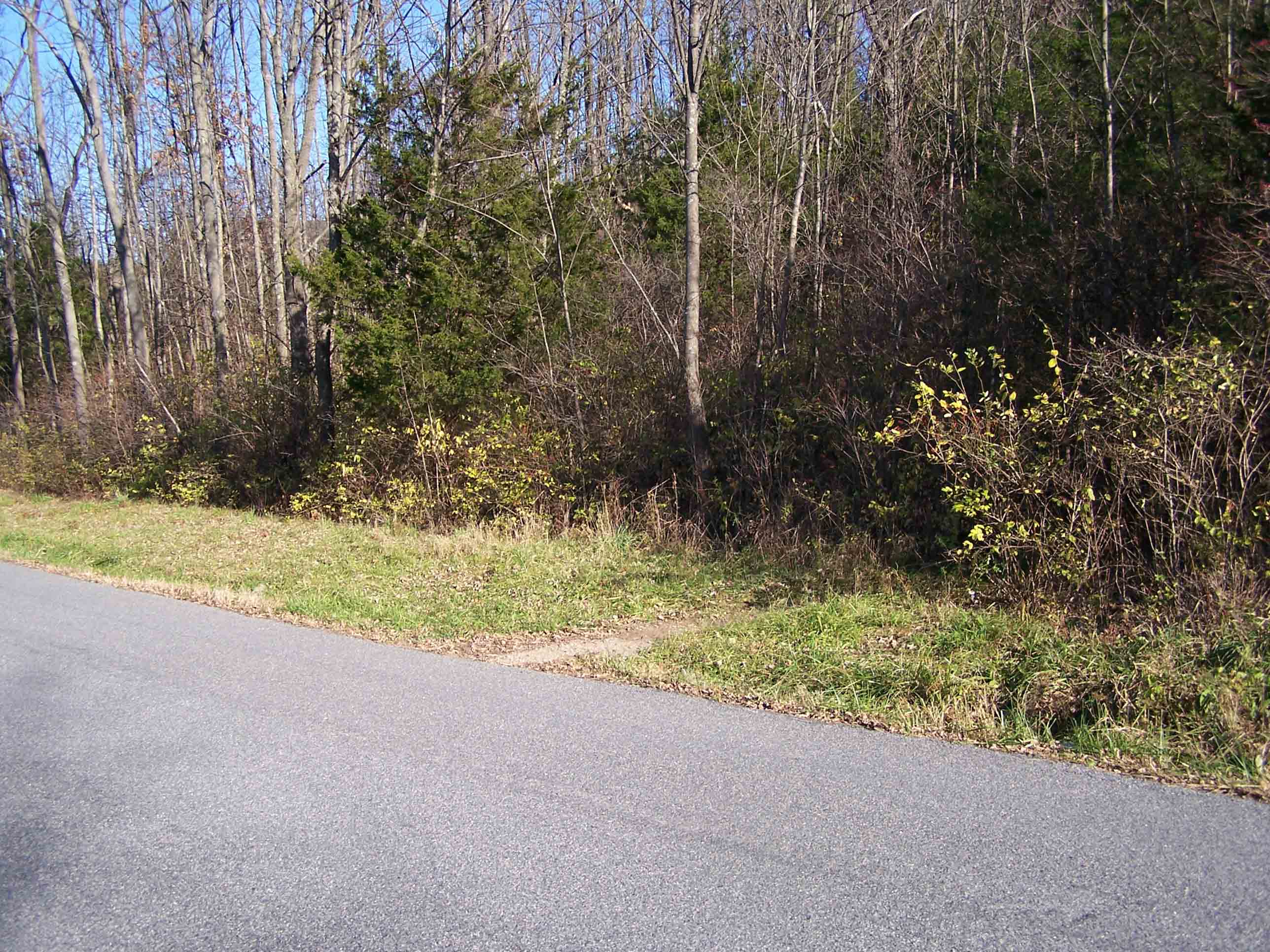
mm 10.3 Trail leaving Paved Oil City Road
Submitted by at @ rohland.org
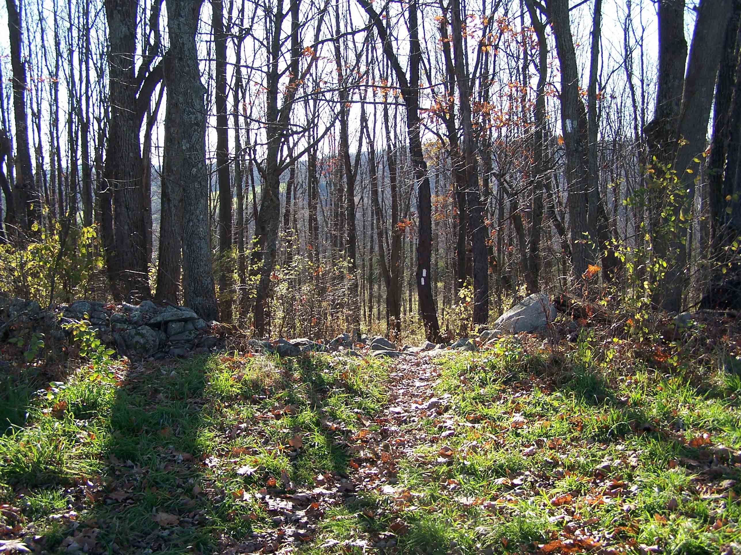
Trail
Submitted by at @ rohland.org
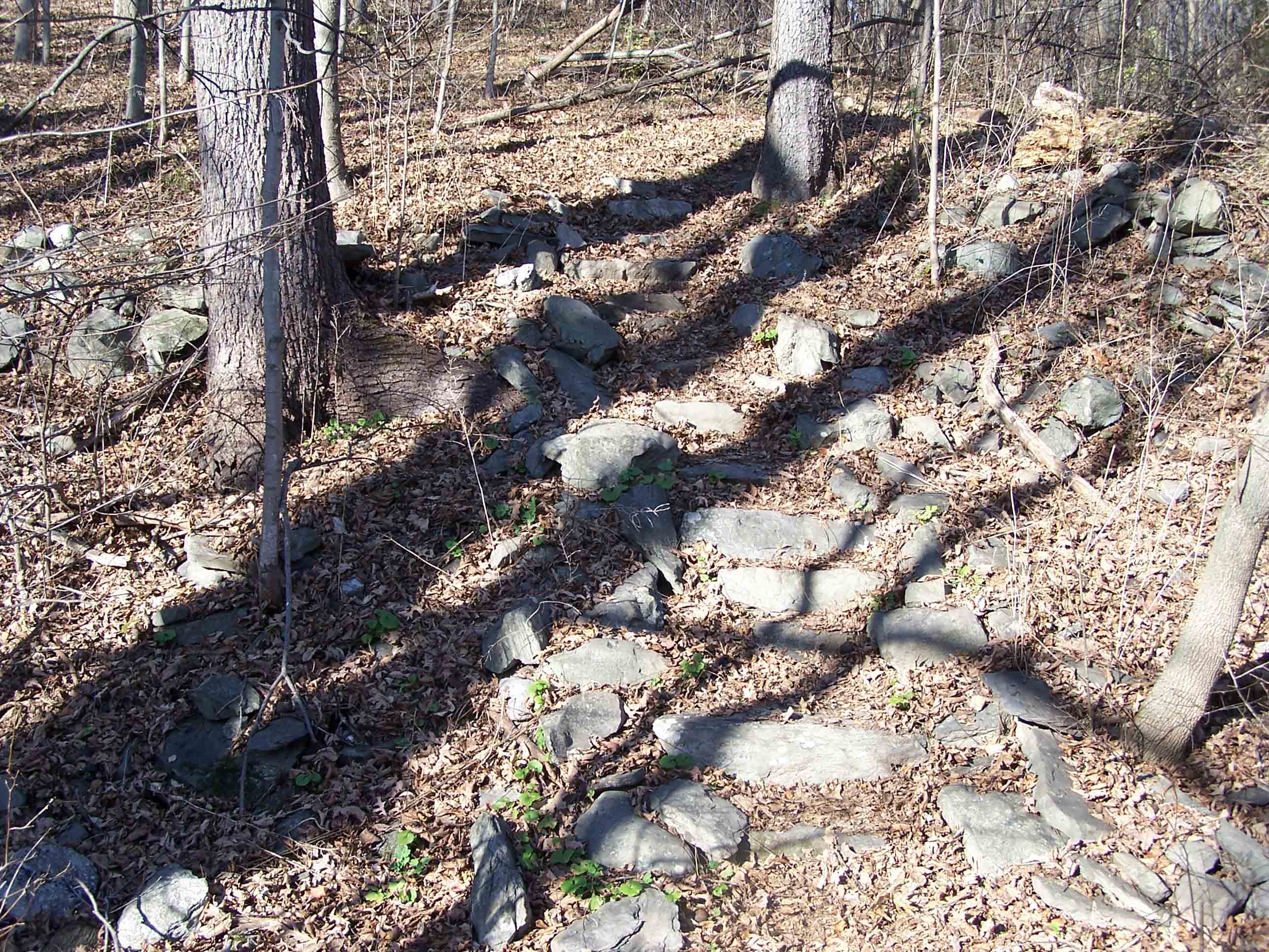
Trail
Submitted by at @ rohland.org
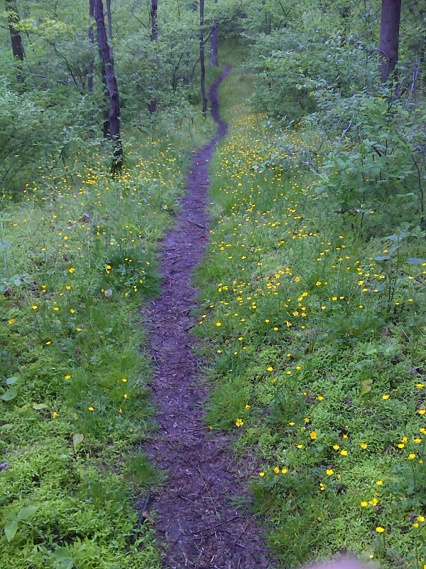
mm 9.7 Buttercups lining trail. GPS N41.2984 W74.5510
Submitted by pjwetzel @ gmail.com
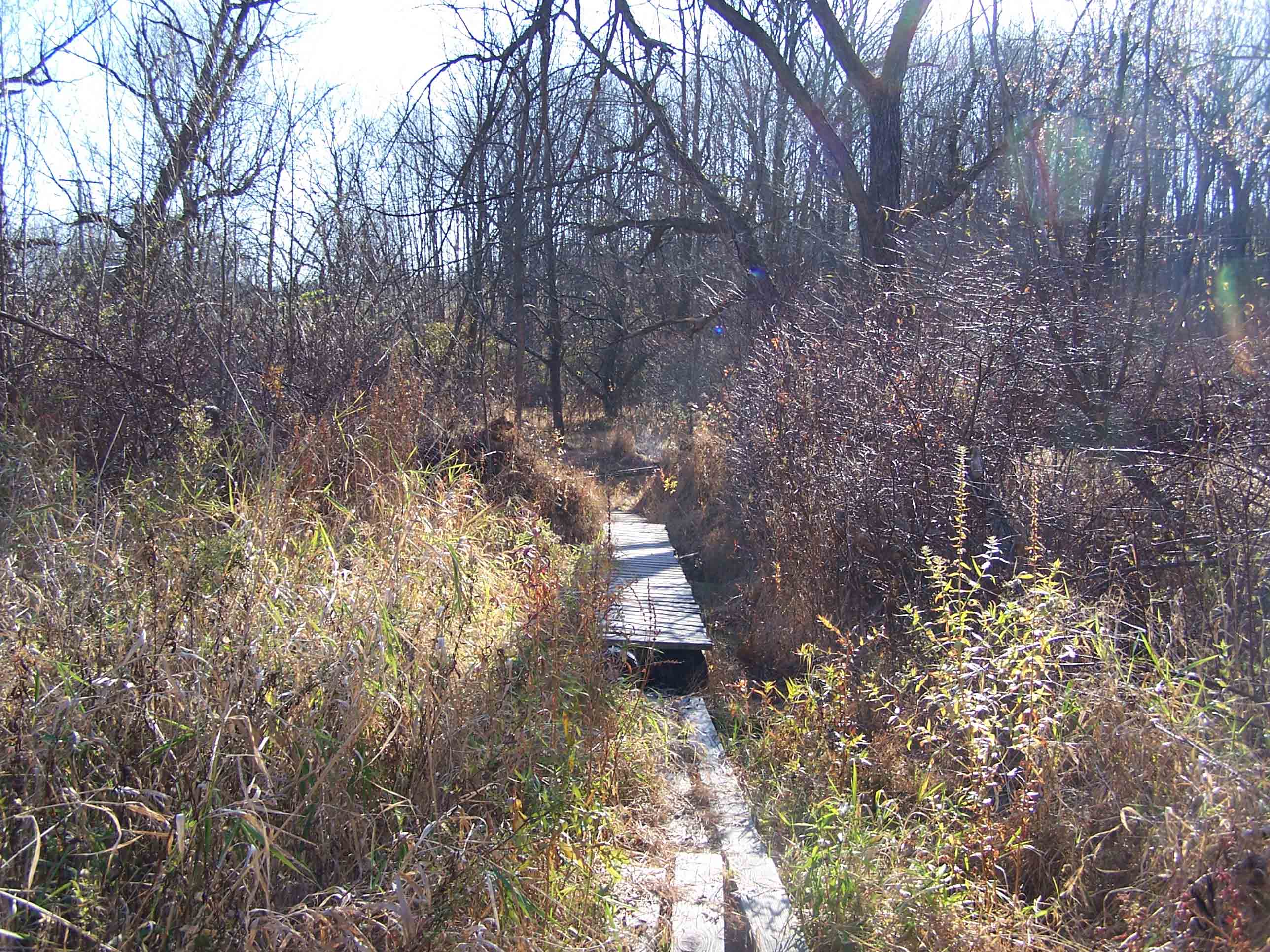
mm 10.7 Bridge on trail near NJ 284
Submitted by at @ rohland.org