NJ Section 2 Pictures - Milemarker 1.7 - 3.9
Pochuck Swamp - Footbridge South of Route 565
Move your mouse across the pictures for more information.
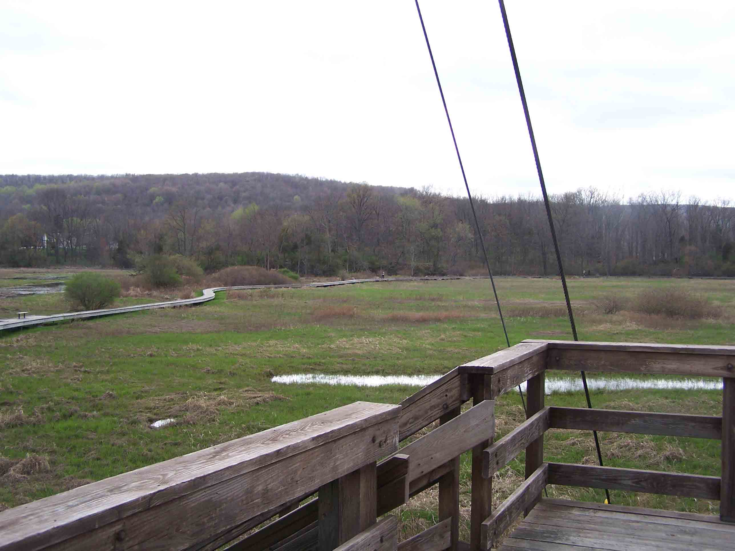
Boardwalk over Pochuck Swamp. Pochuck Creek Footbridge (mm 1.6) in foreground. - 4/29/07
Submitted by at @ rohland.org
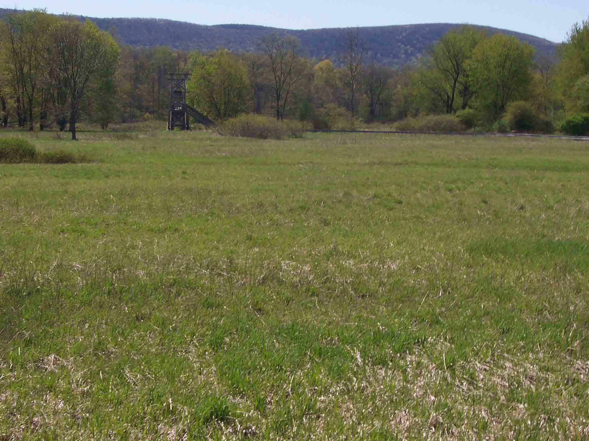
View east (trail north) across Pochuk Swamp to Wawayanda Mountain. Taken at approx. mm 1.8.
Submitted by dlcul @ conncoll.edu
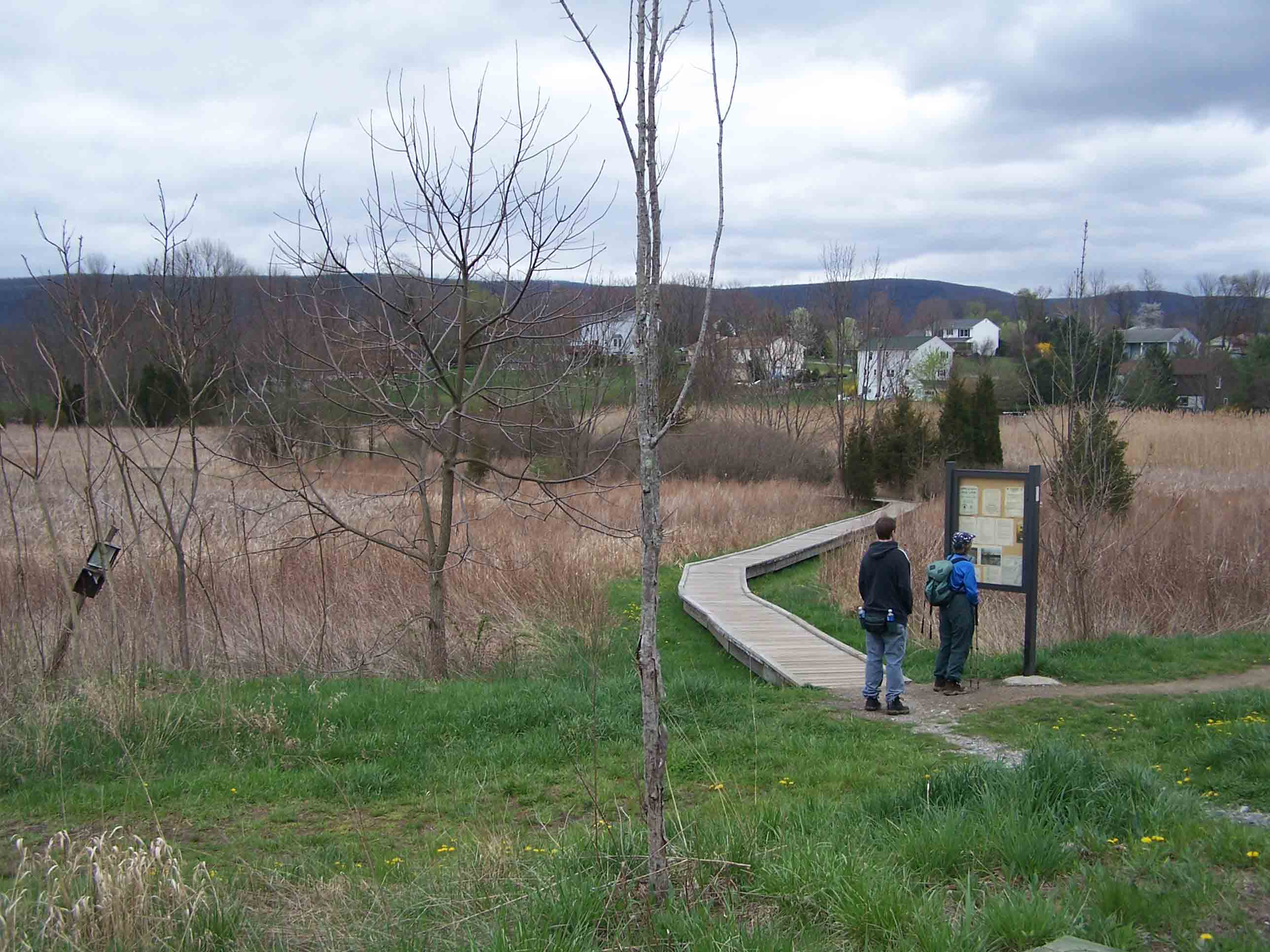
mm 2.3 - AT boardwalk at route 517 - 4/29/07
Submitted by at @ rohland.org
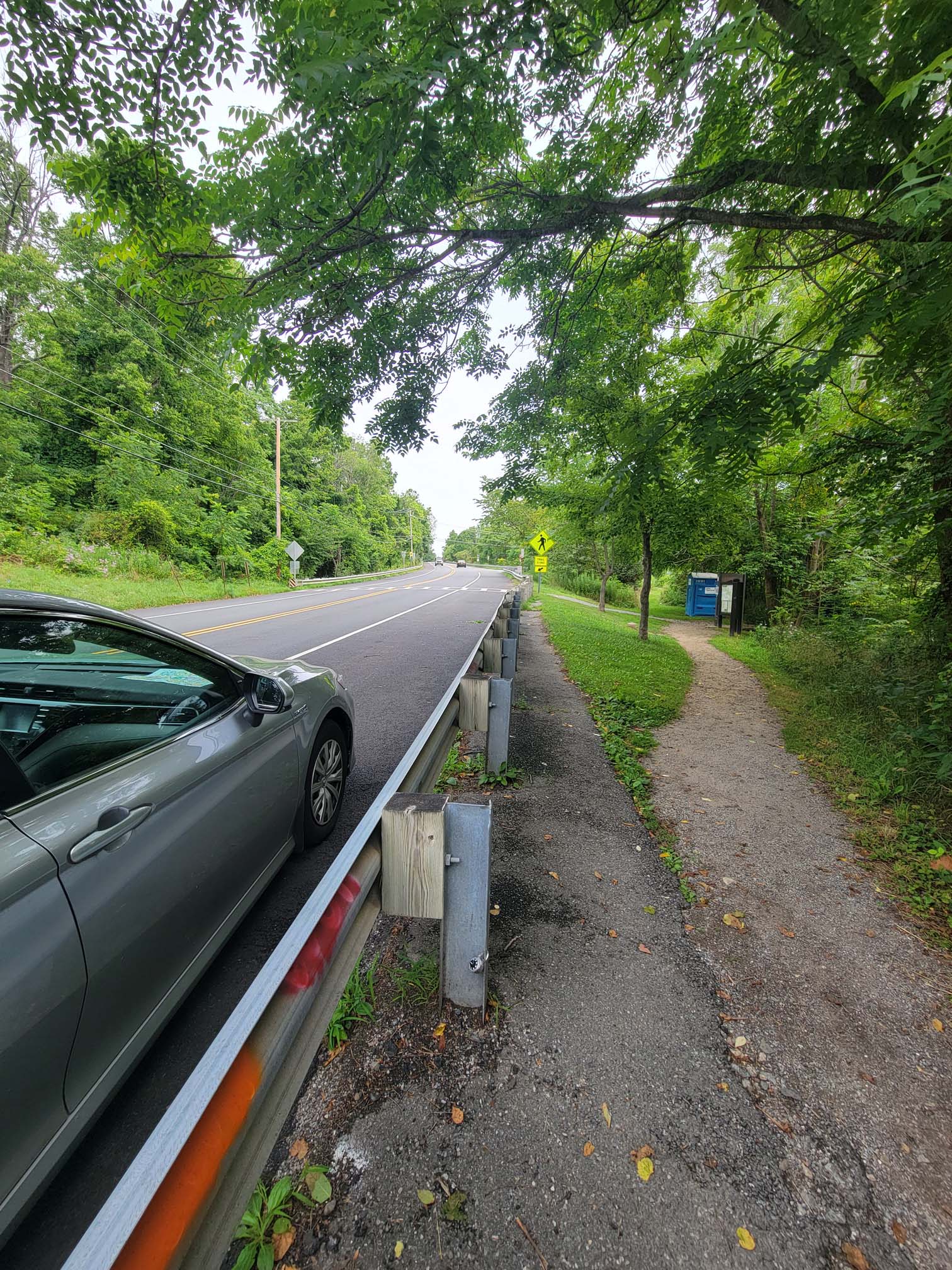
mm 2.3 parking is along the roadside of route 517. Obey all parking signs or risk a ticket. Trailheads begin at crosswalk
Submitted by wardandda @ gmail.com
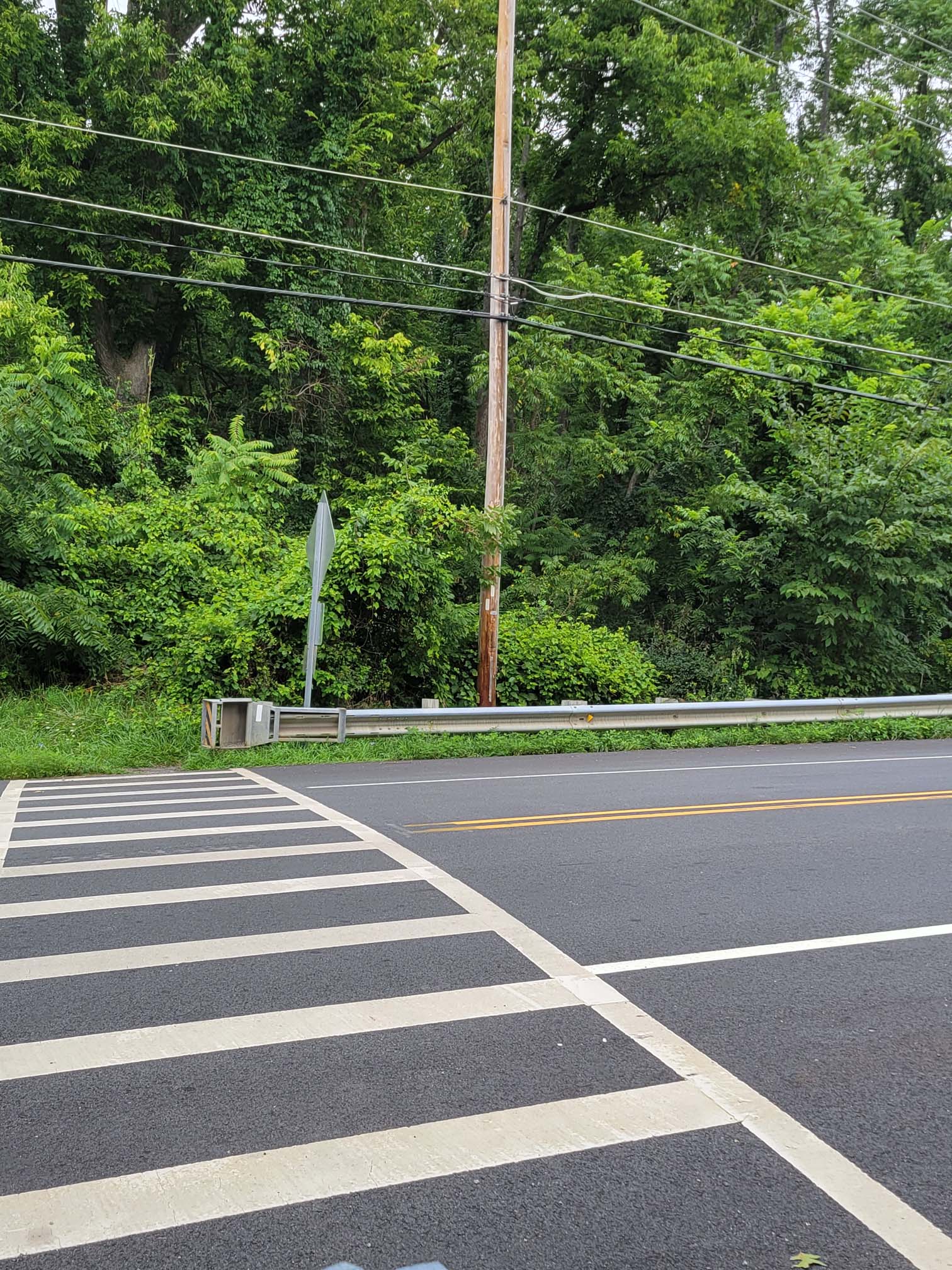
mm 2.3 Southbound trailhead from crosswalk over route 517
Submitted by wardandda @ gmail.com
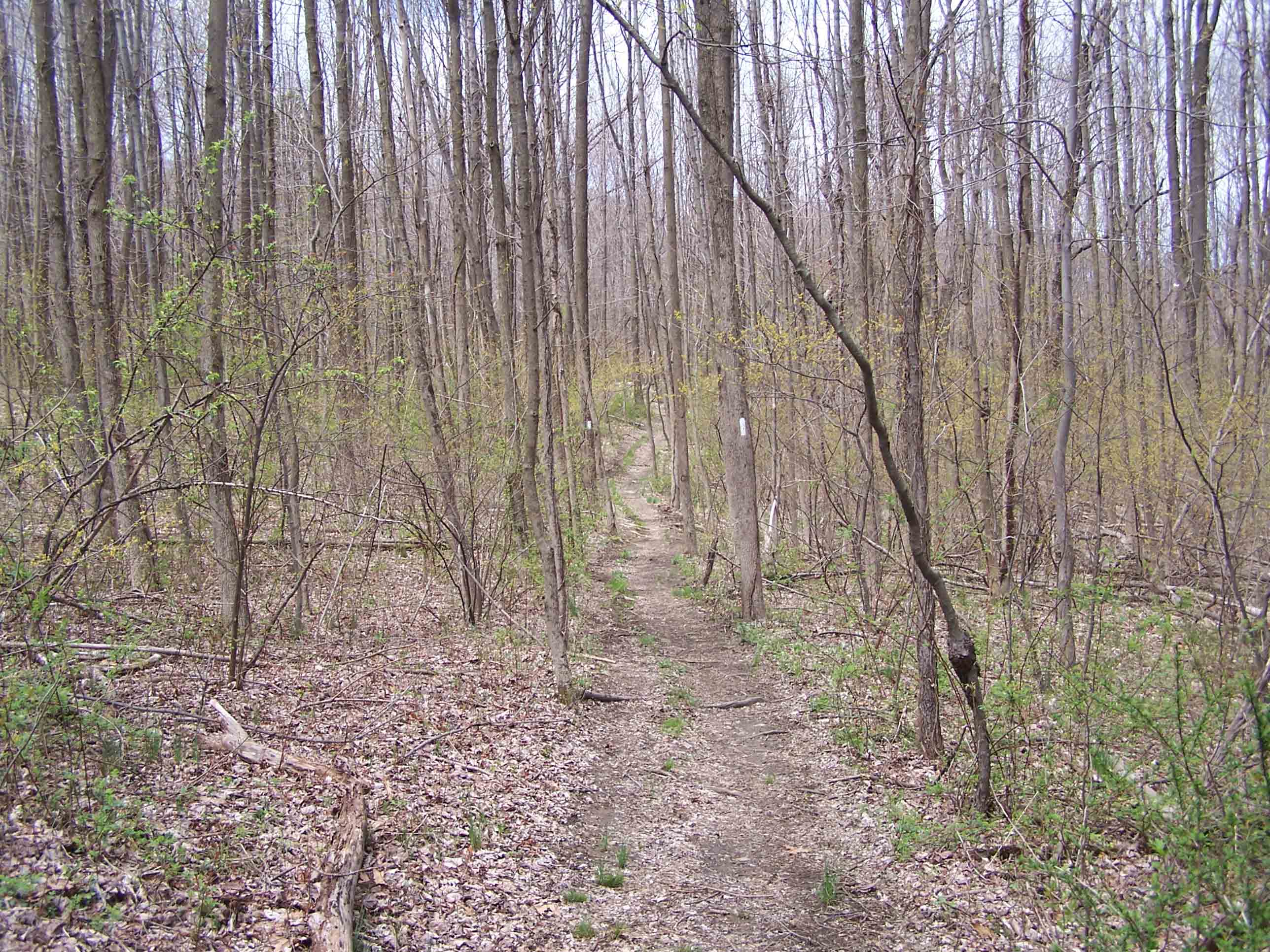
AT between Route 517 and Route 565 - 4/29/07
Submitted by at @ rohland.org
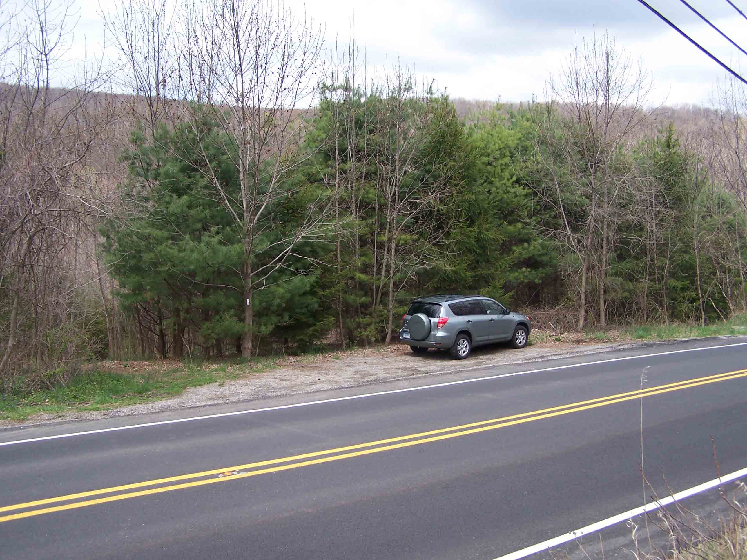
mm 3.8 - Route 565 - 4/29/07
Submitted by at @ rohland.org
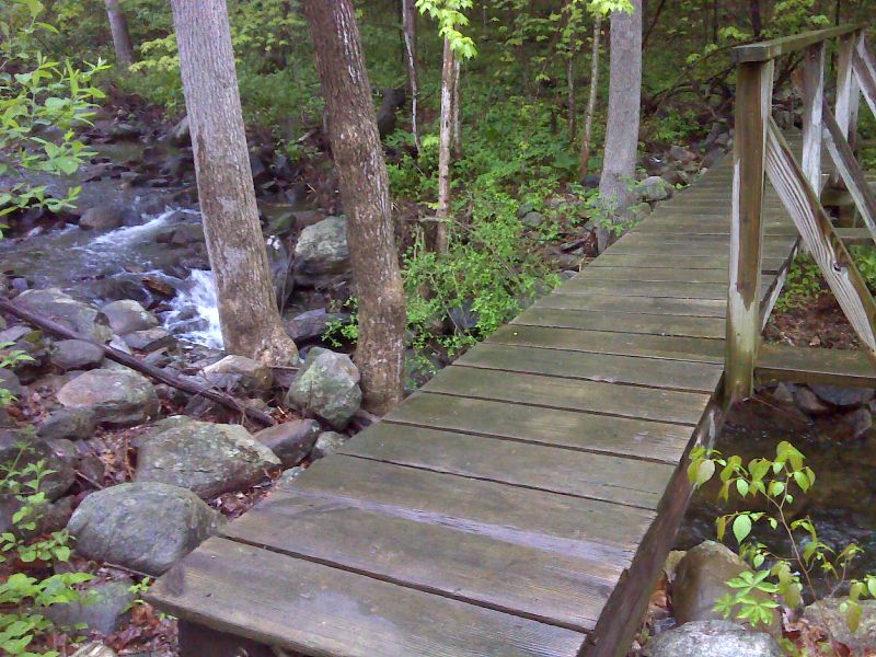
mm 3.9 Footbridge just south of County Road 565. GPS N41.2493 W74.4985
Submitted by pjwetzel @ gmail.com