NJ Section 2 Pictures - Milemarker 6.3 - 7.0
Descending West Side of Pochuck Mountain - Lake Walkill Road
Move your mouse across the pictures for more information.
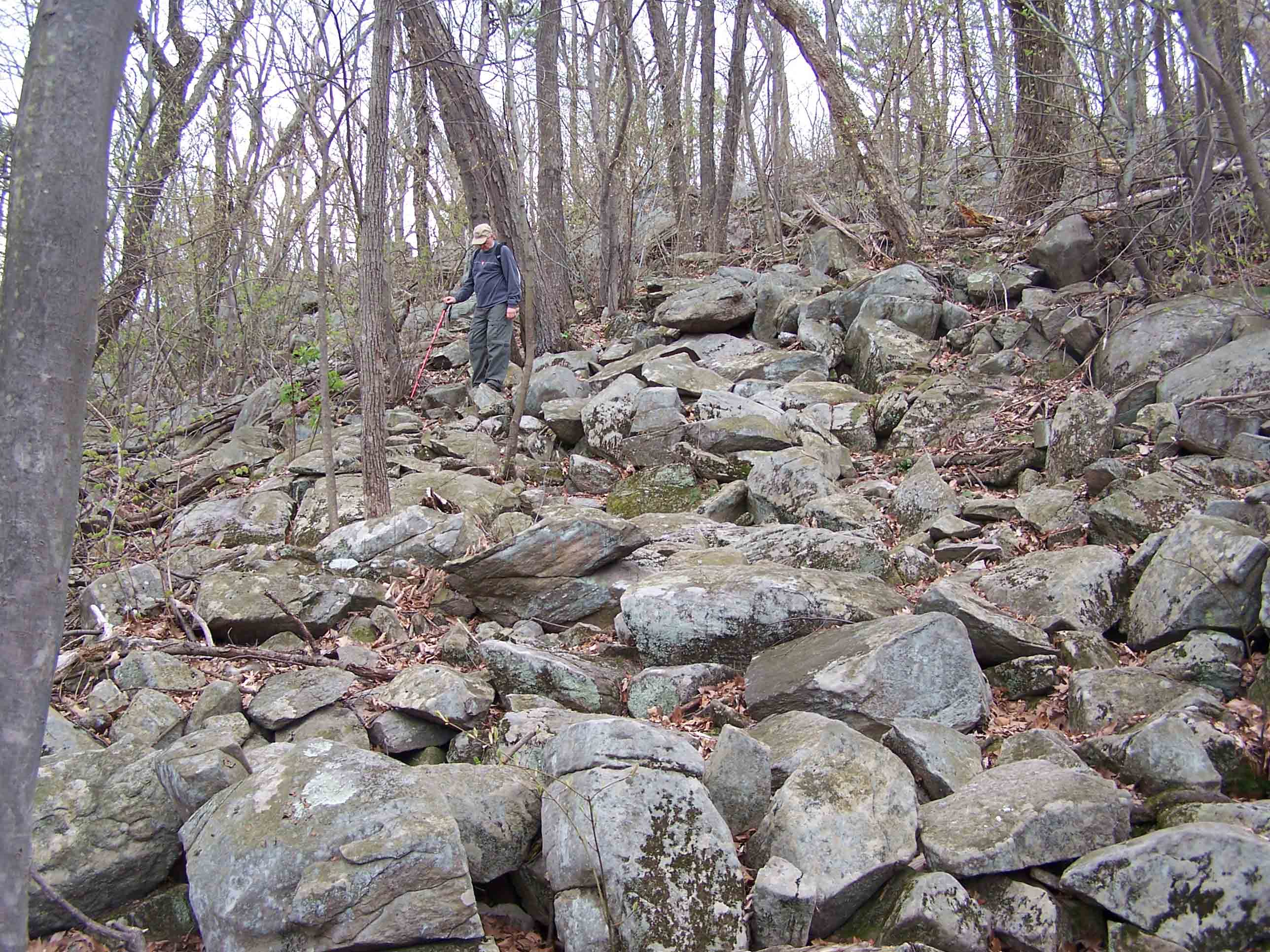
Trail picture - 4/29/07
Submitted by at @ rohland.org
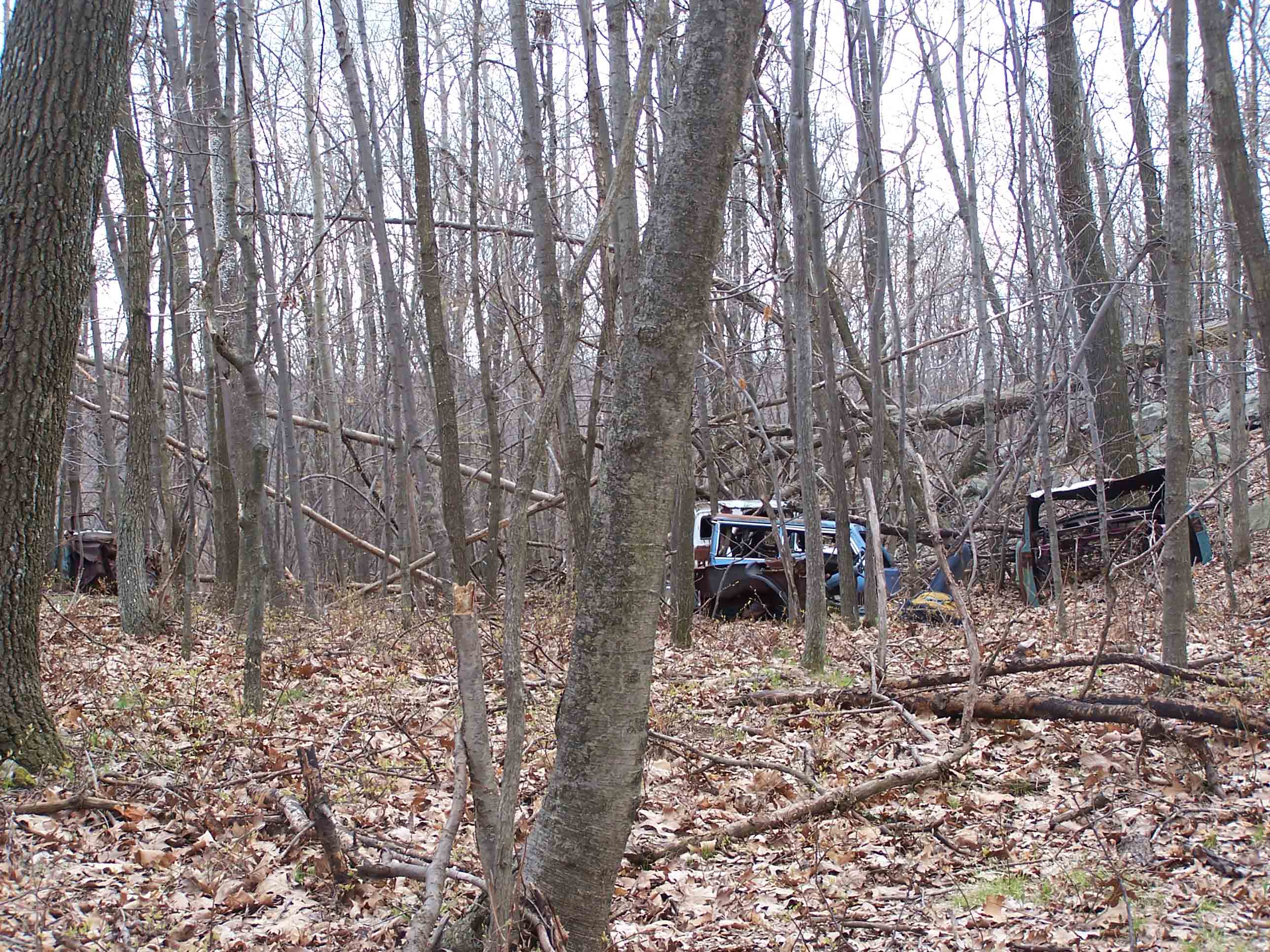
No road but cars - 4/29/07
Submitted by at @ rohland.org
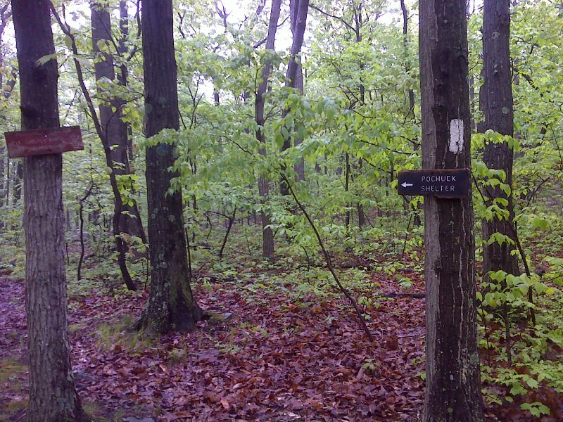
mm 6.5 Side trail to Pochuck Mountain Shelter GPS N41.2708 W74.5163
Submitted by pjwetzel @ gmail.com
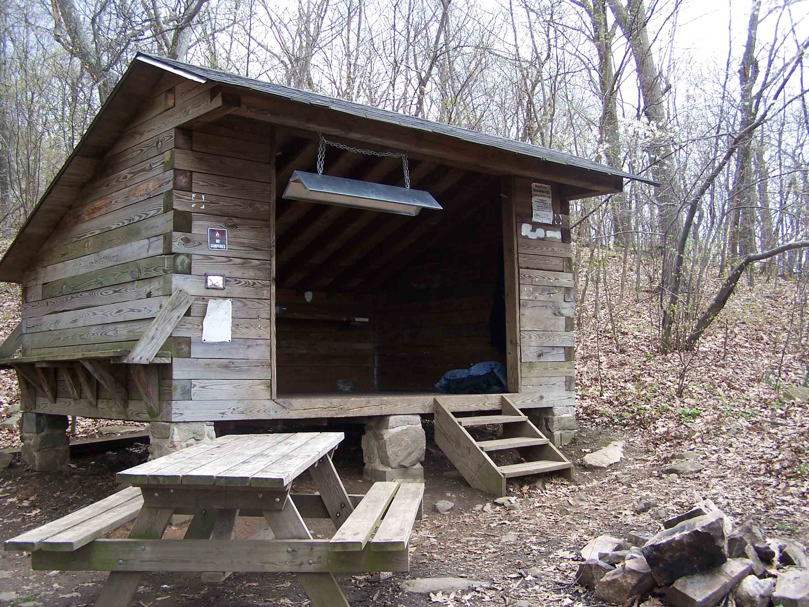
mm 6.5 - Pochuck Mountain shelter which is 0.1 mile from the AT - 4/29/07
Submitted by at @ rohland.org
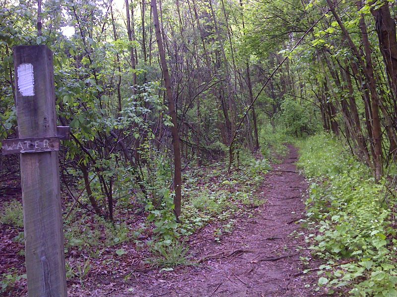
Side trail to water source on lower slopes of Pochuck Mt. GPS N41.2717 W74.5211
Submitted by pjwetzel @ gmail.com
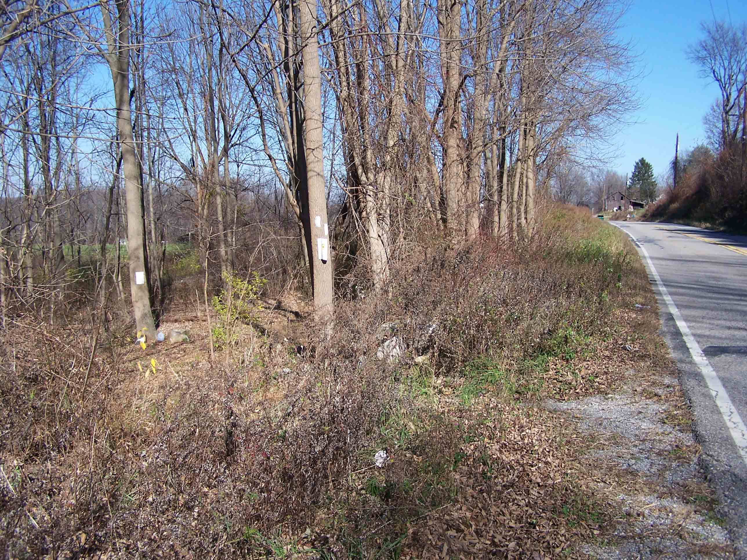
mm 7.0 AT going south from lake Wallkill Road (also known as Liberty Corners Road)
Submitted by at @ rohland.org
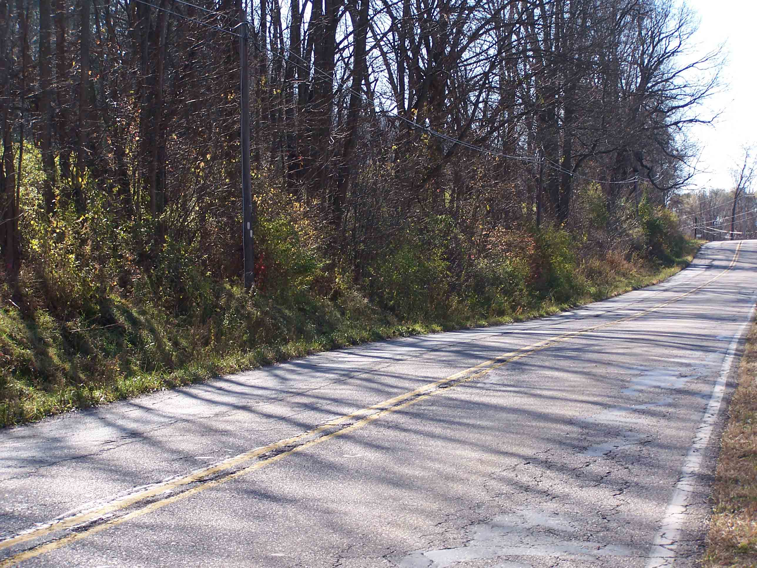
mm 7.0 AT going north from lake Wallkill Road (also known as Liberty Corners Road)
Submitted by at @ rohland.org

mm 7.0 State park regulations sign
Submitted by at @ rohland.org