NJ Section 2 Pictures - Milemarker 7.1 - 9.0
Swampy Area - Parking for Liberty Marsh
Move your mouse across the pictures for more information.
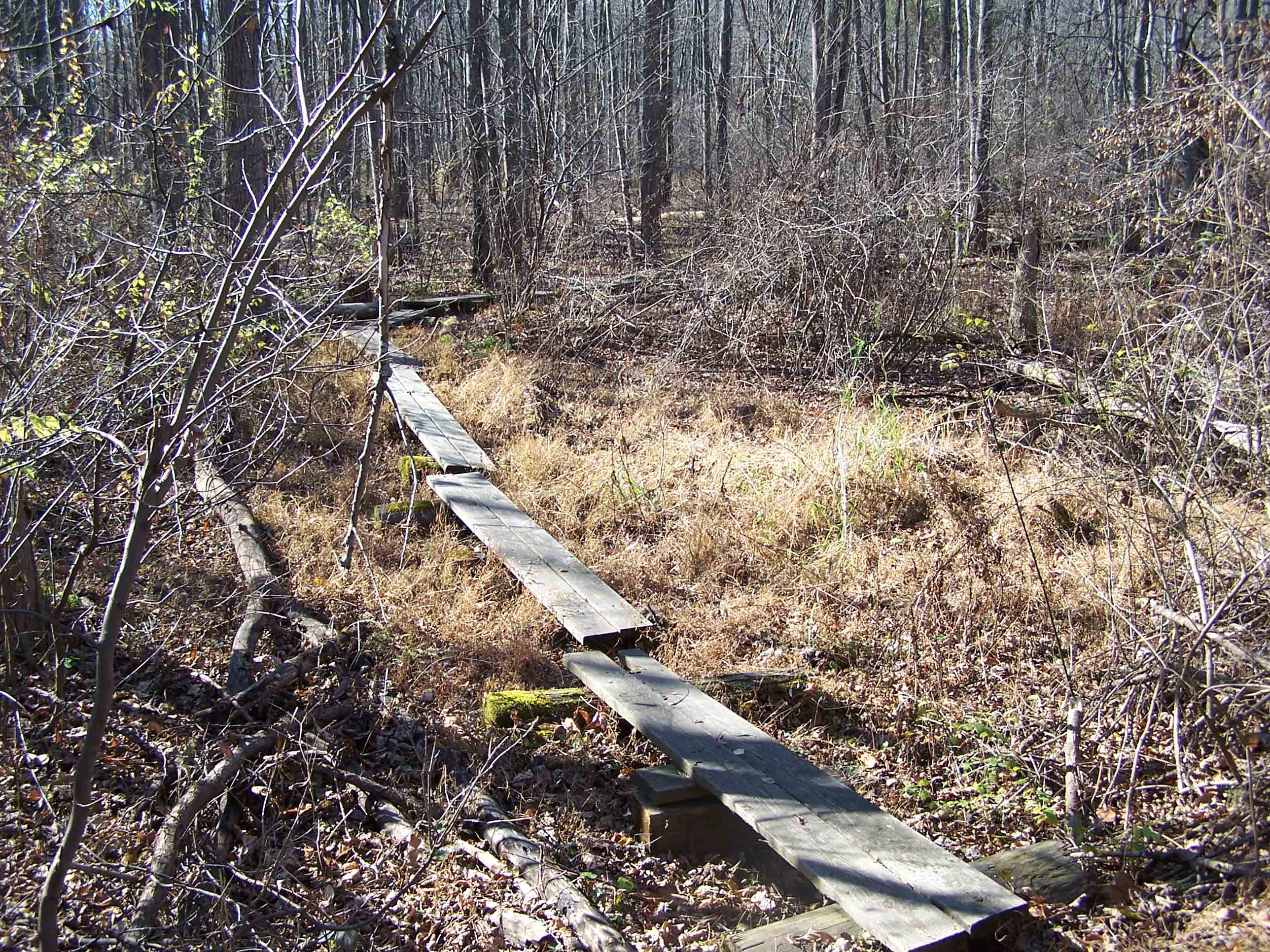
mm 7.1 Puncheon through swamp area
Submitted by at @ rohland.org
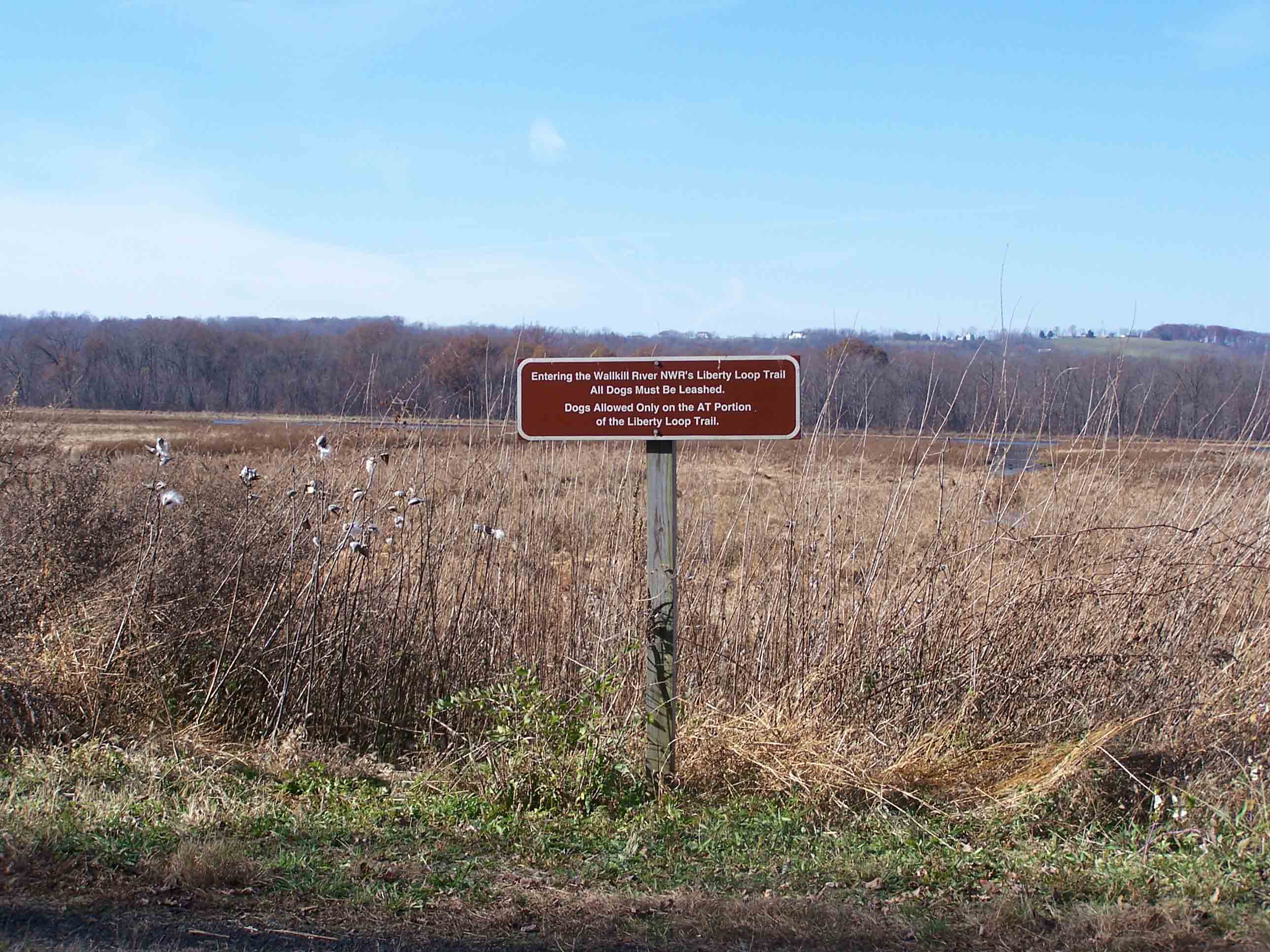
mm 7.5 AT intersection with Liberty Loop Trail
Submitted by at @ rohland.org
Northbound AT leaves Liberty Marsh section of Walkill National Wildlife Refuge. It then crosses a swampy area on puncheon. GPS N41.2758 W74.5307
Submitted by pjwetzel @ gmail.com
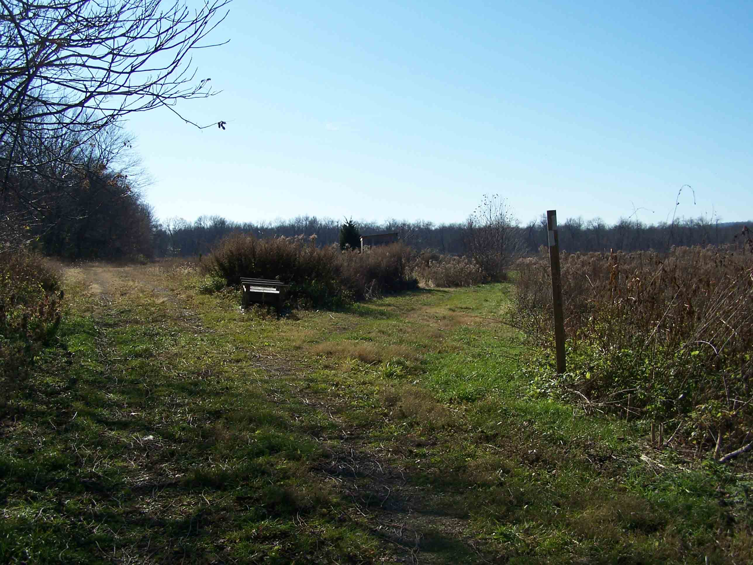
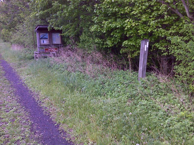
mm 7.8 AT makes 90 degree right turn at bird blind
Submitted by at @ rohland.org
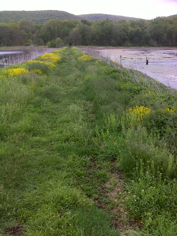
AT traverses berm between wetlands. Taken at approx. mm 8.0.GPS N41.2735 W74.5334
Submitted by pjwetzel @ gmail.com
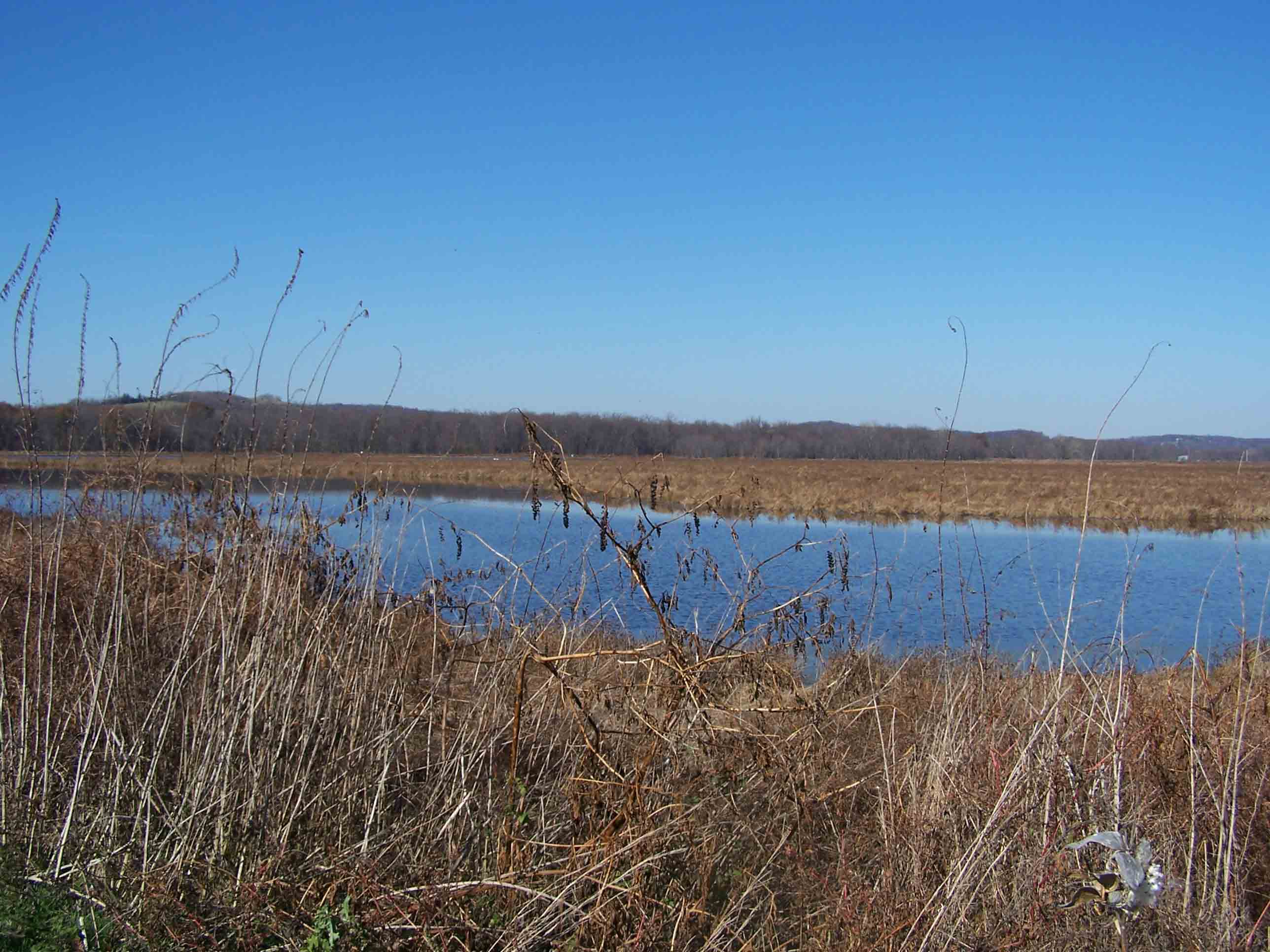
Walkill River National Wildlife Refuge
Submitted by at @ rohland.org
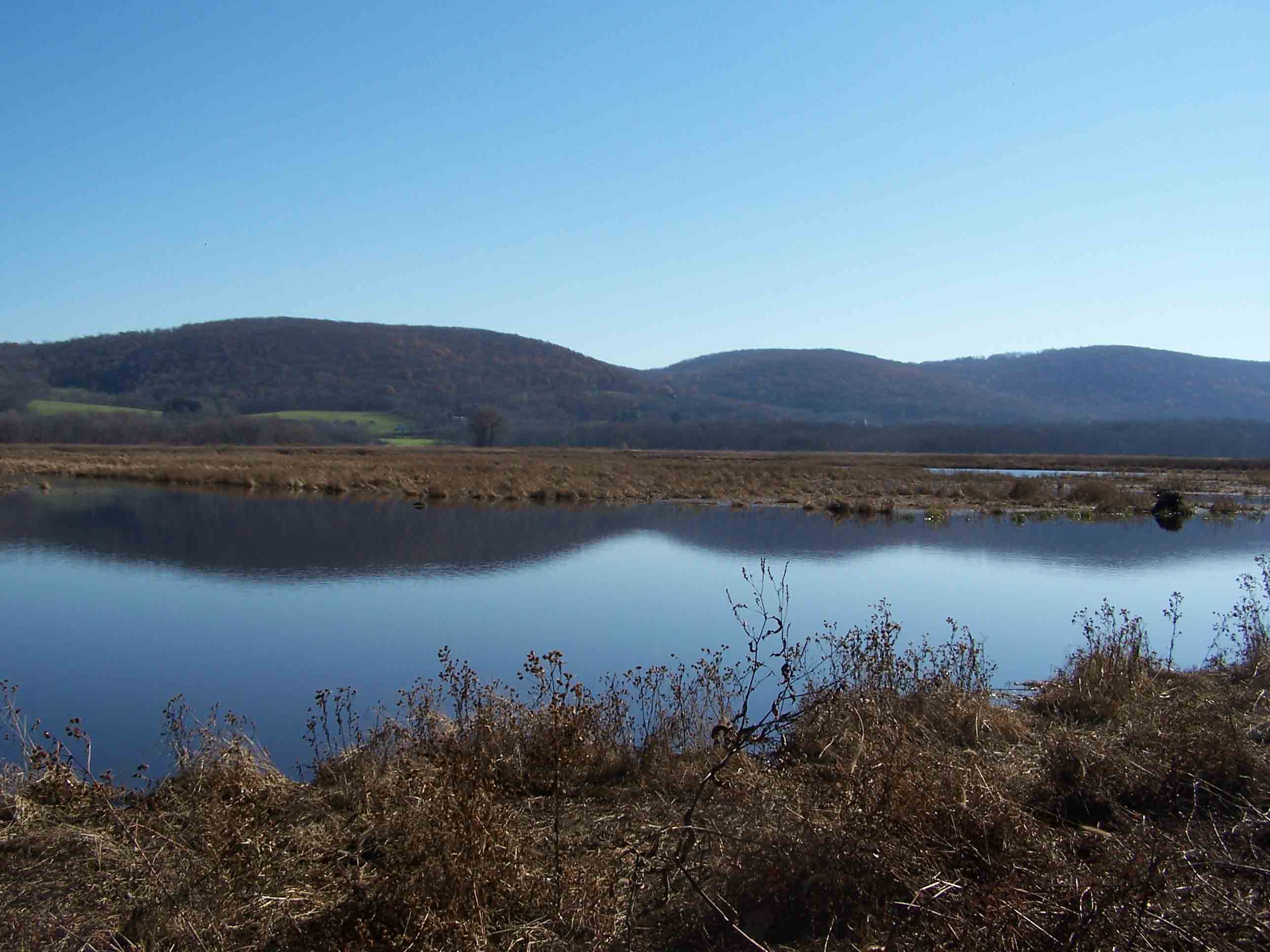
Walkill River National Wildlife Refuge
Submitted by at @ rohland.org
Sign and observation area at parking area for Liberty Marsh, once a sod farm
Submitted by dlcul @ conncoll.edu