NJ Section 2 Pictures - Milemarker 9.0 - 9.5
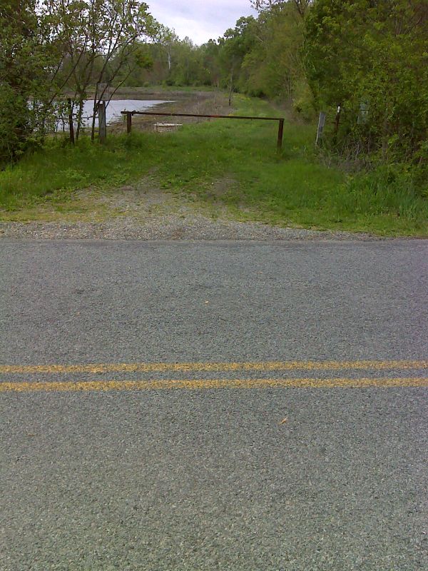
Parking for Liberty Marsh - Carnegie Road
Move your mouse across the pictures for more information.
Parking area for Liberty Marsh, now part of the Walkill River National Wildlife Refuge. This is about 0.2 miles east of the point where the northbound AT leaves Oil City Road at mm 9.0.
Submitted by dlcul @ conncoll.edu
mm 9.0 View of Pochuck Mountains and Liberty Marsh, part of the Walkill River National Wildlife Refuge, from the point where the northbound Trail leaves Oil City Road. This point is actually in New York. The AT briefly enters that state in this area. This is the only place on the entire AT where the trail goes through a National Wildlife Refuge.
Submitted by dlcul @ conncoll.edu
mm 9.0 Parking area for fishing and canoeing on the Walkill River. Use by hikers is presumably also allowed.
Submitted by dlcul @ conncoll.edu

mm 9.0 AT this point the northbound trail leaves Oil City Road and starts down a dirt road on the west side of the Liberty Marsh Section ofthe Walkill National Wildlife Refuge. GPS N41.2853 W74.5334
Submitted by pjwetzel @ gmail.com

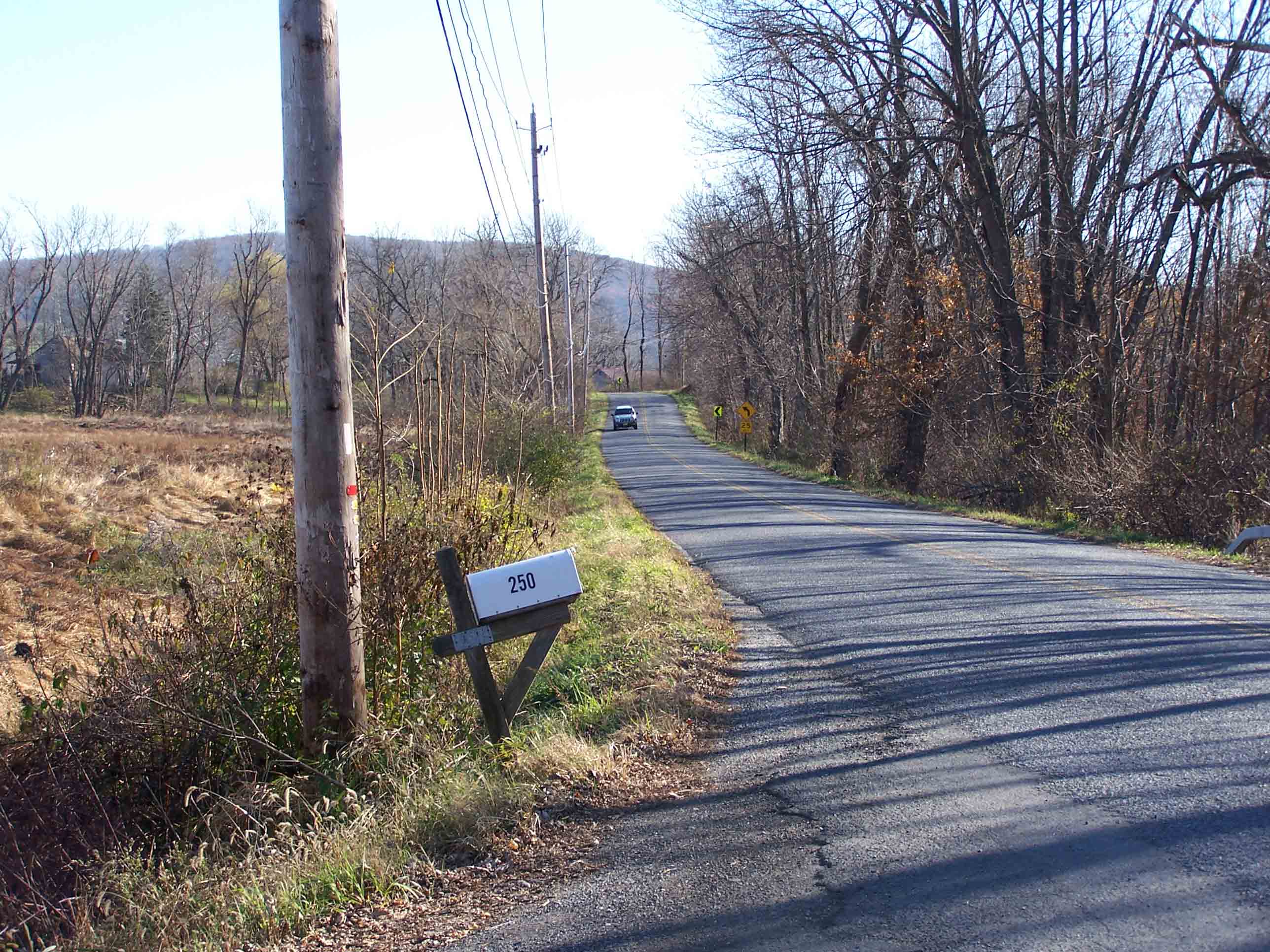
mm 9.0 Oil City Road looking south
Submitted by at @ rohland.org
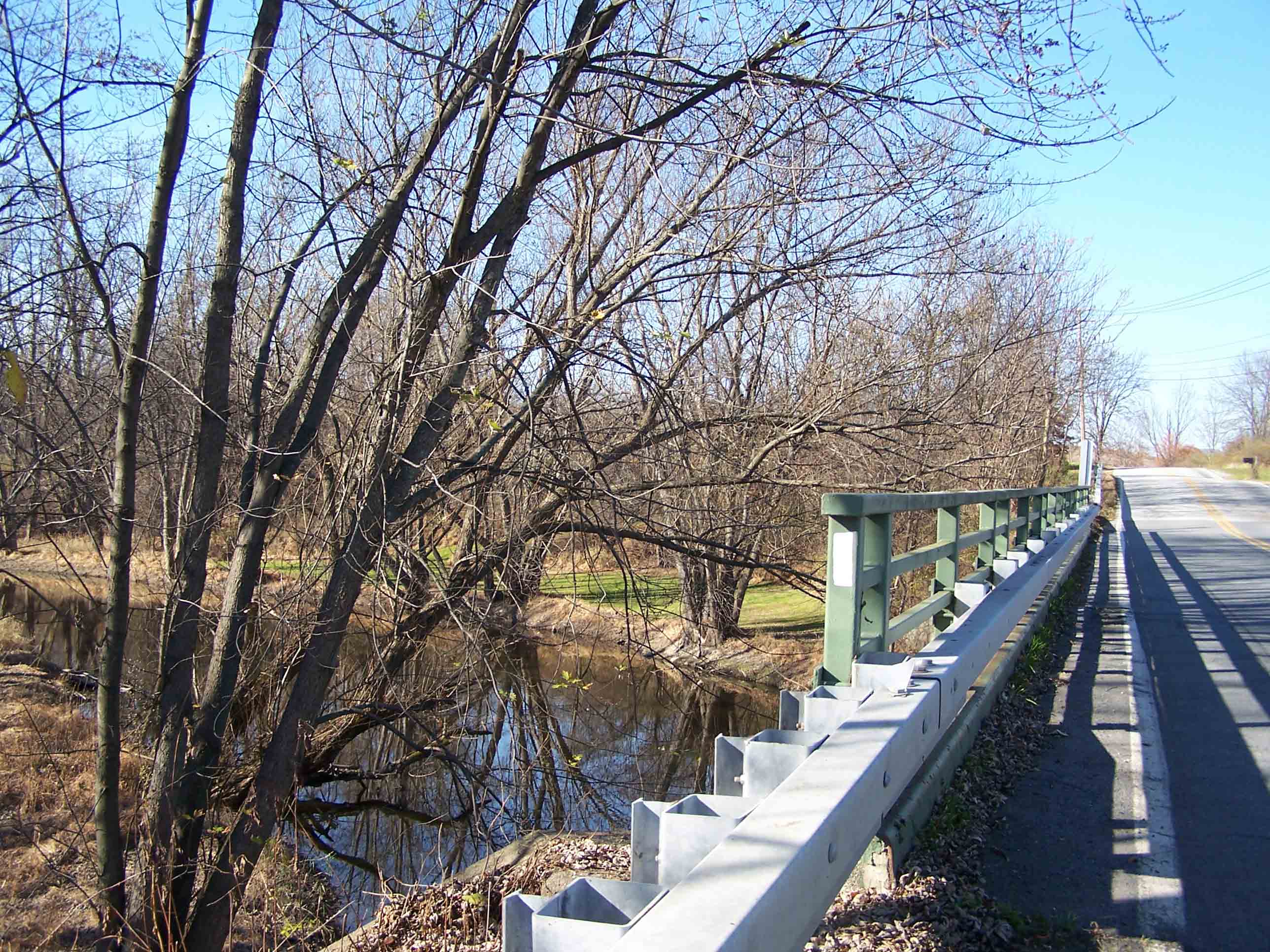
mm 9.3 Walkill River from Oil City Road bridge
Submitted by dlcul @ conncoll.edu

mm 9.3 Bridge over Oil City Road
Submitted by at @ rohland.org

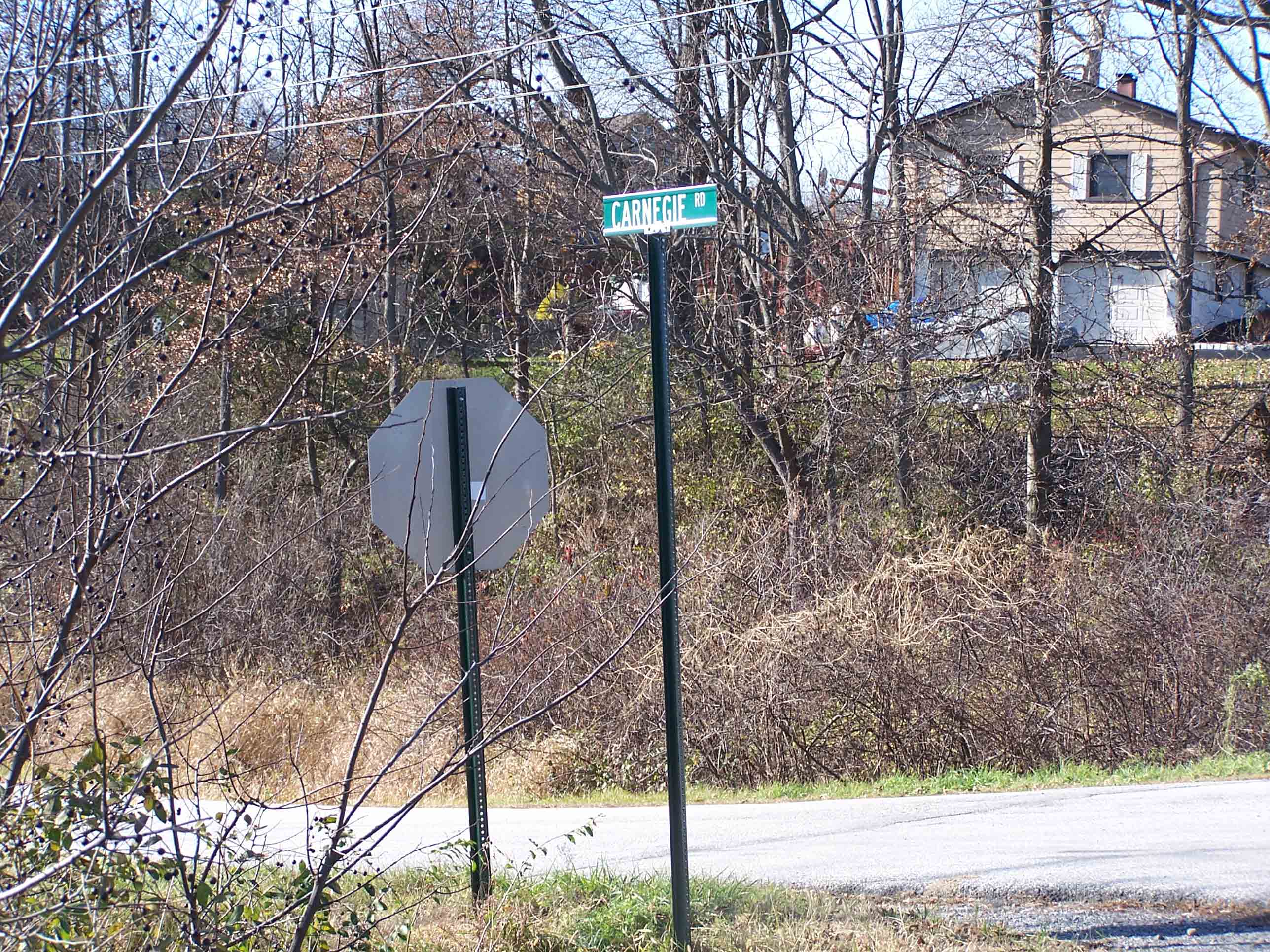
mm 9.5 AT turns left onto Carnegie Road
Submitted by at @ rohland.org