NJ Section 2 Pictures - Milemarker 9.5 - 10.2
Carnegie Road - View from top of hill
Move your mouse across the pictures for more information.
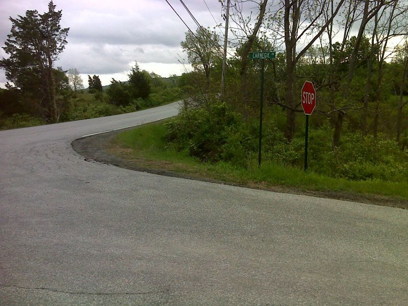
mm 9.5 AT northbound turns off Carnegie Road onto Oil City Road. GPS N41.2903 W74.5374
Submitted by pjwetzel @ gmail.com
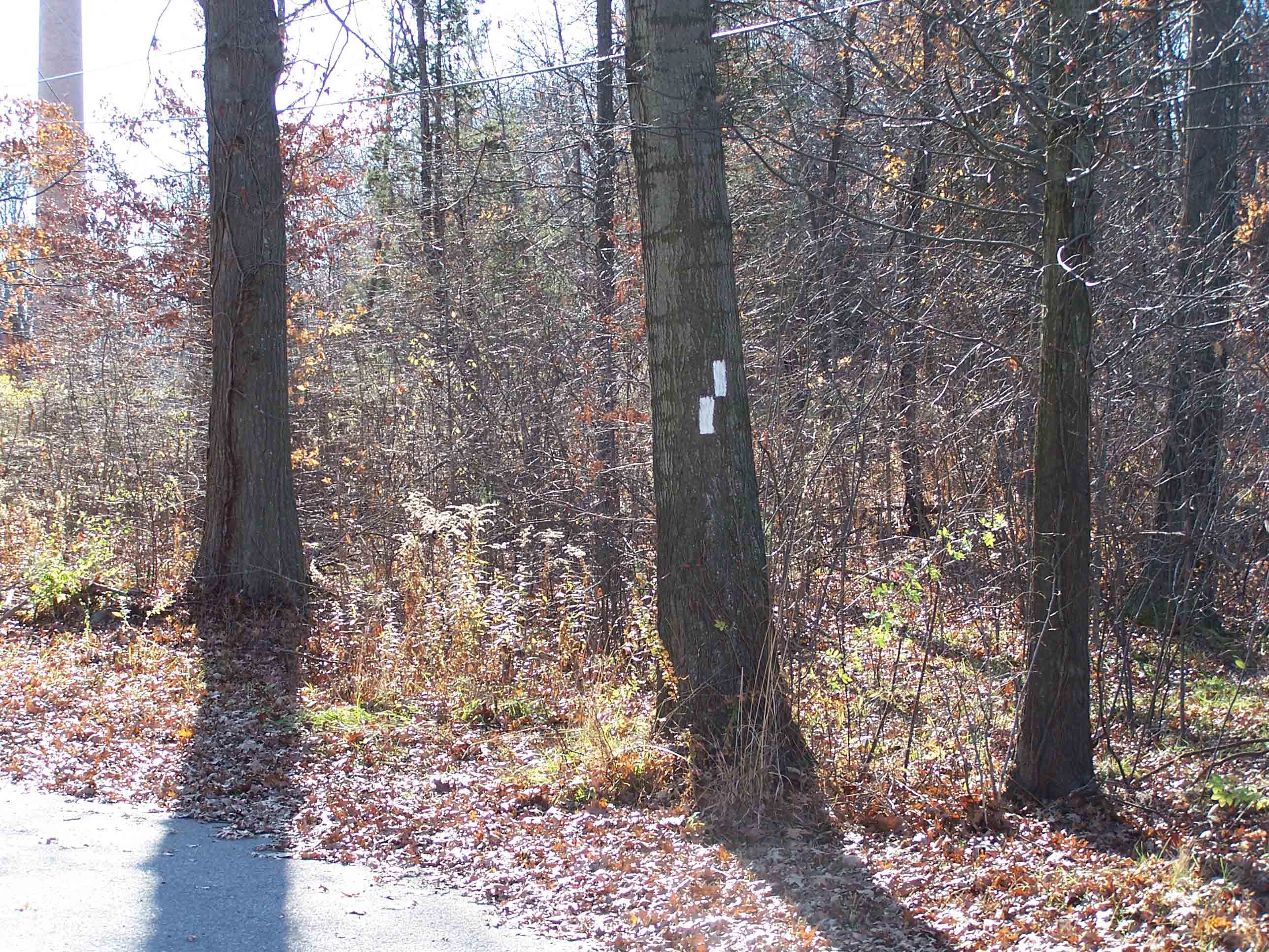
mm 9.7 AT turns right at private road
Submitted by at @ rohland.org
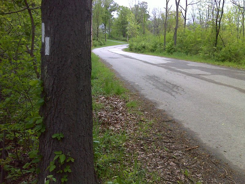
mm 9.7 AT northbound begins road walk on Carnegie Road. GPS N41.2878 W74.5391
Submitted by pjwetzel @ gmail.com
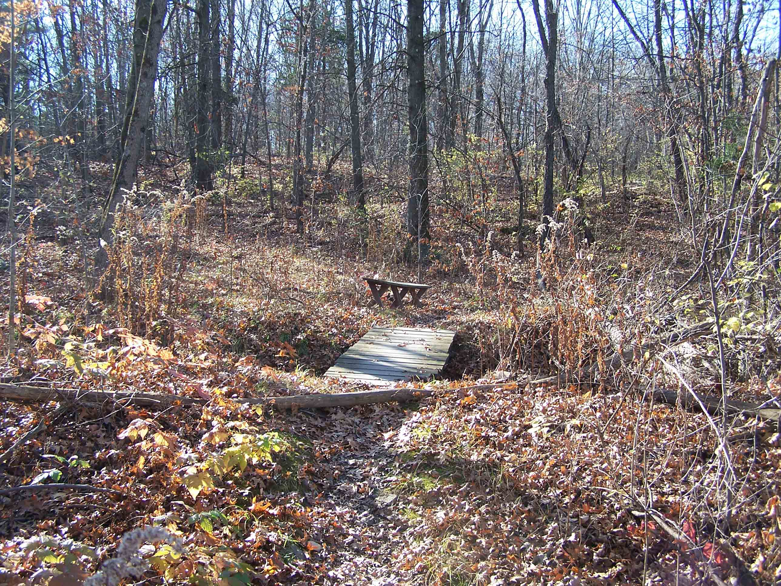
mm 9.7 Foot bridge over stream shortly after turn
Submitted by at @ rohland.org
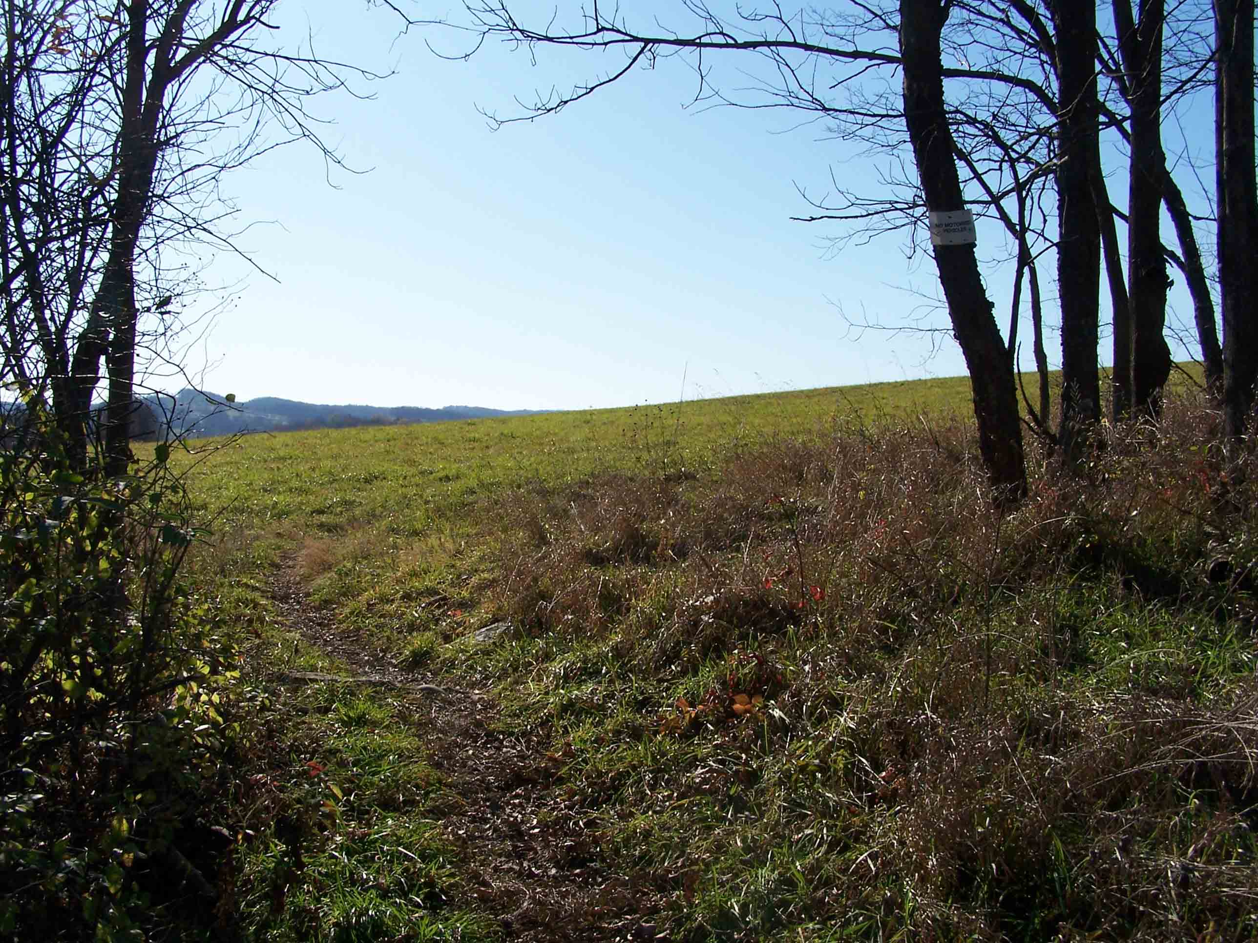
mm 10.1 Grassy field
Submitted by at @ rohland.org
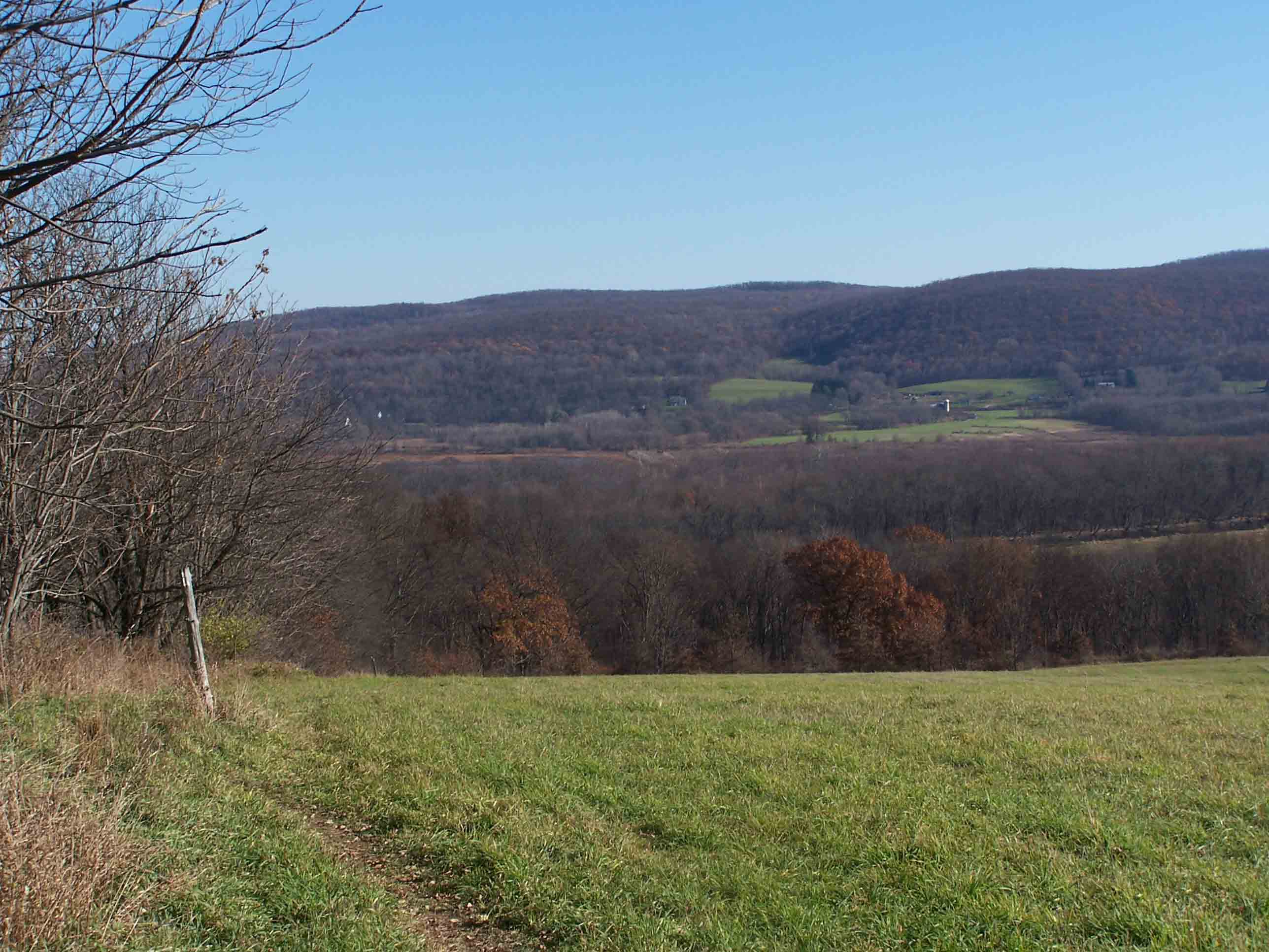
mm 10.2 View from top of hill
Submitted by at @ rohland.org
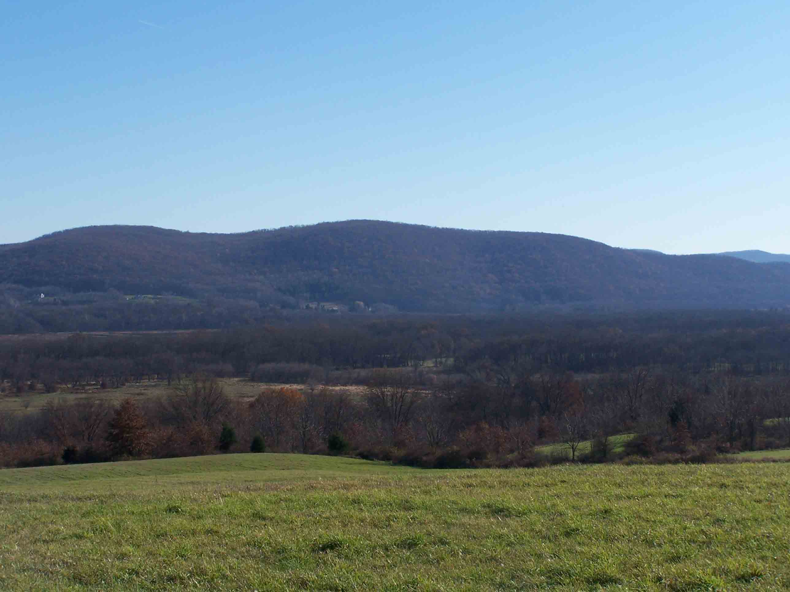
mm 10.2 View from top of hill
Submitted by at @ rohland.org
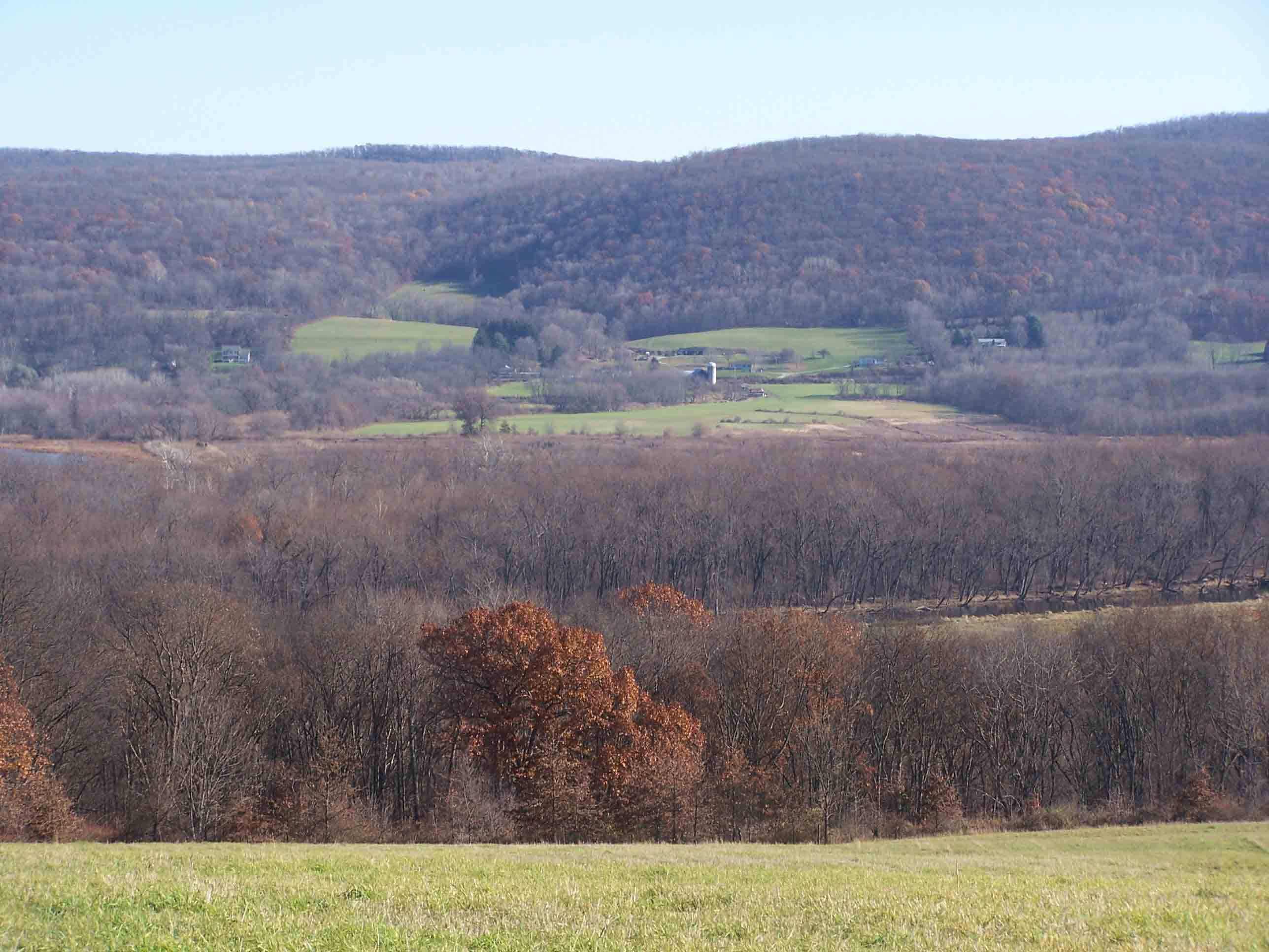
mm 10.2 View from top of hill
Submitted by at @ rohland.org