NJ Section 3 Pictures - Milemarker 5.5 - 6.8
Field - County Road 519
Move your mouse across the pictures for more information.
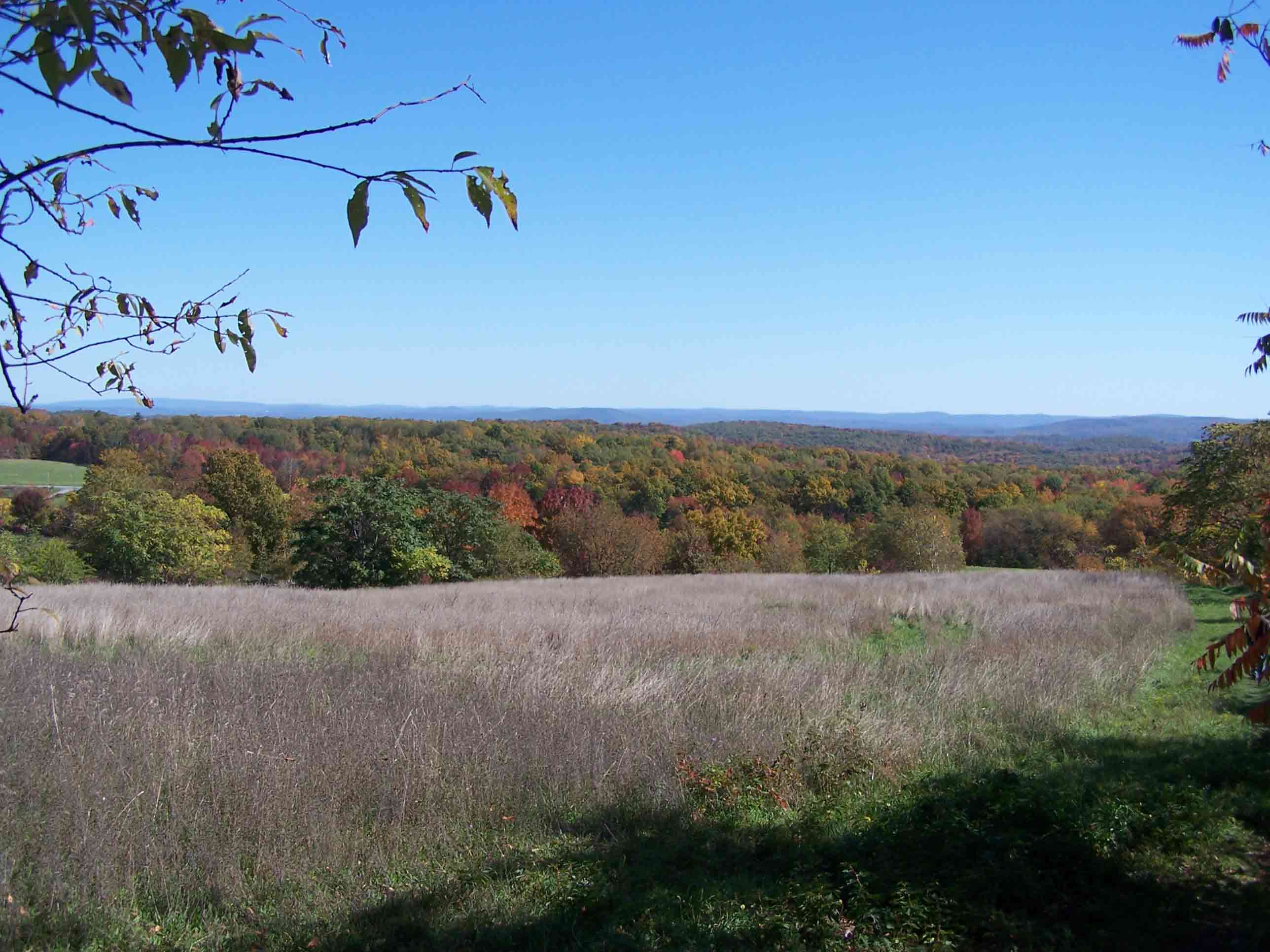
View from open field
Submitted by at @ rohland.org
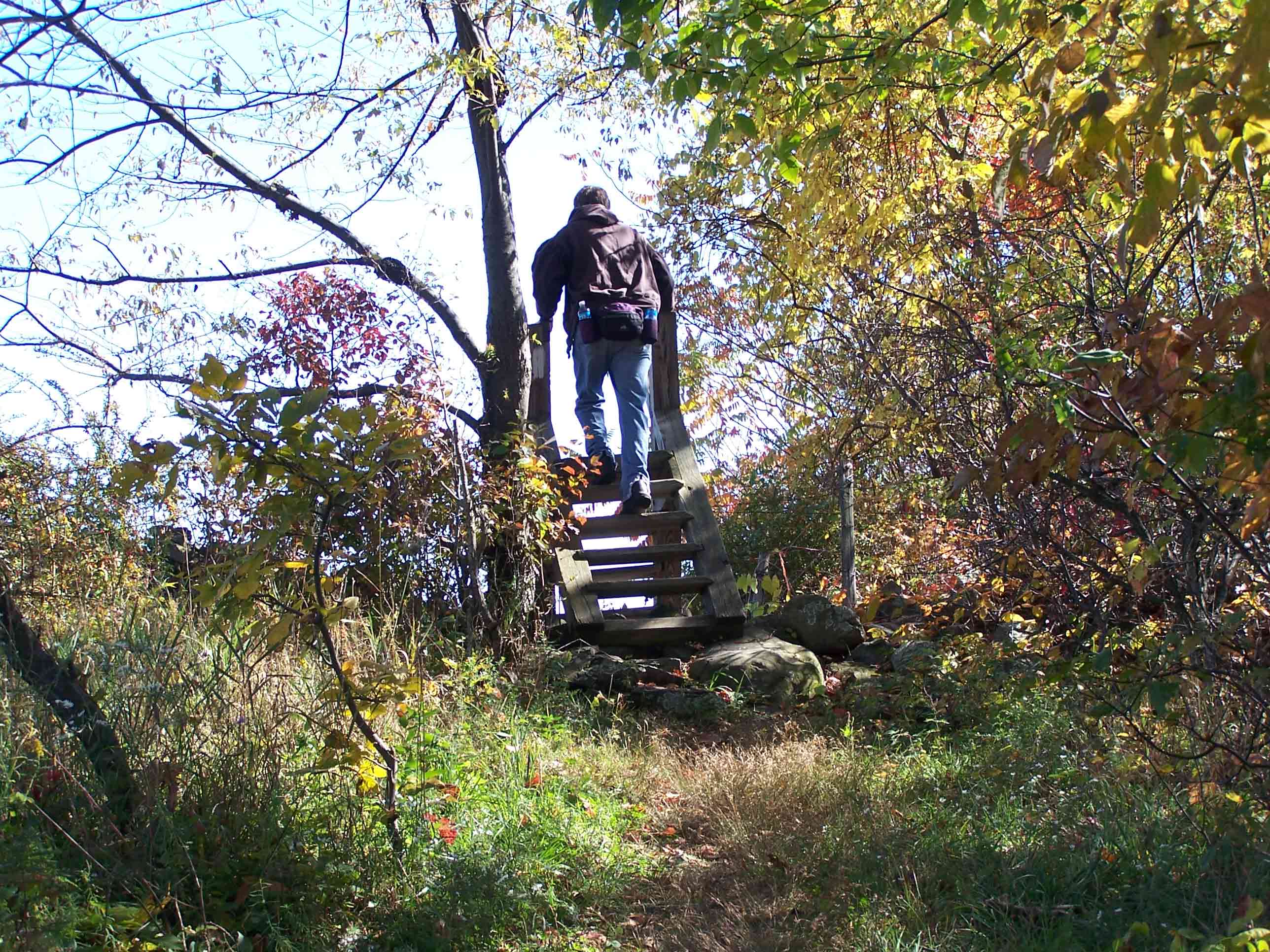
mm 5.5 - Stile over barbed-wire fence
Submitted by at @ rohland.org
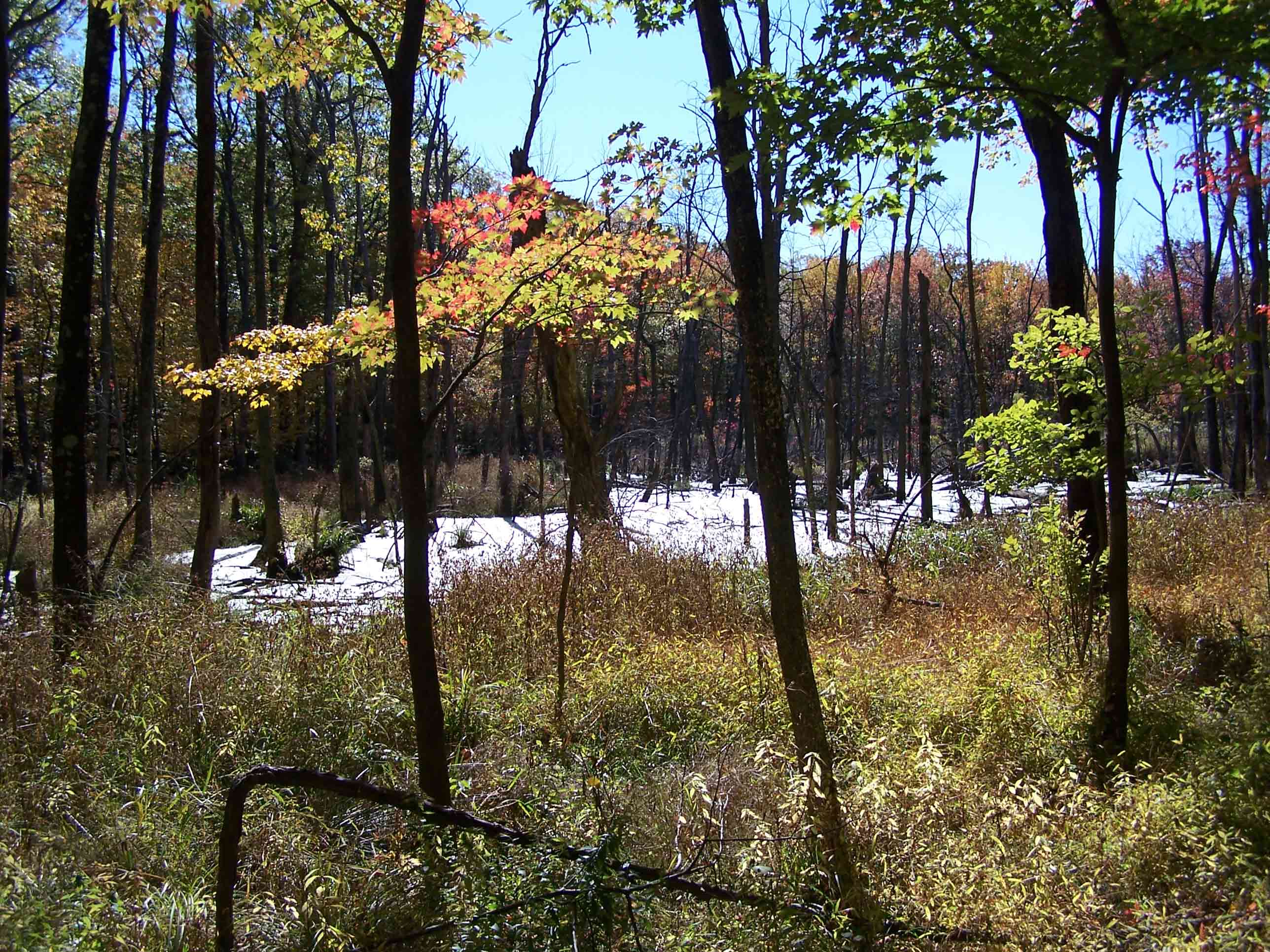
Pond east of trail
Submitted by at @ rohland.org
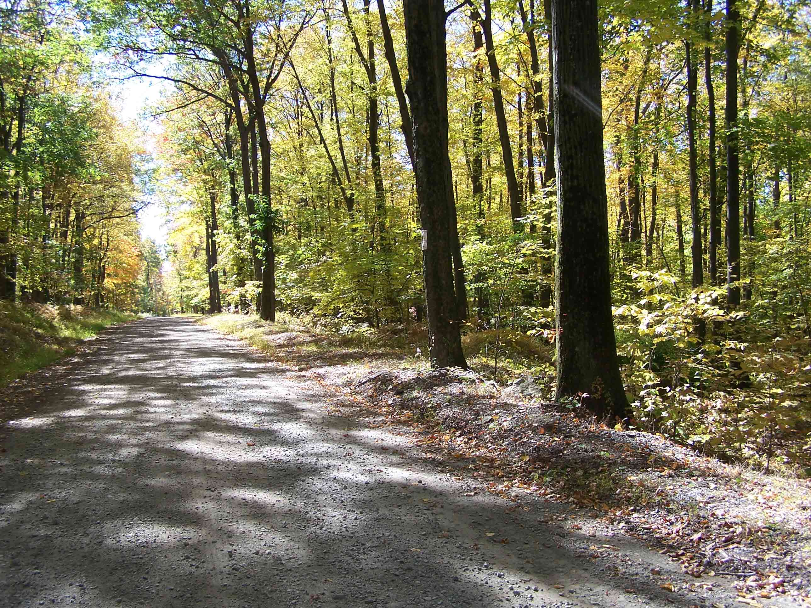
mm 6.0 - Courtwright Road
Submitted by at @ rohland.org
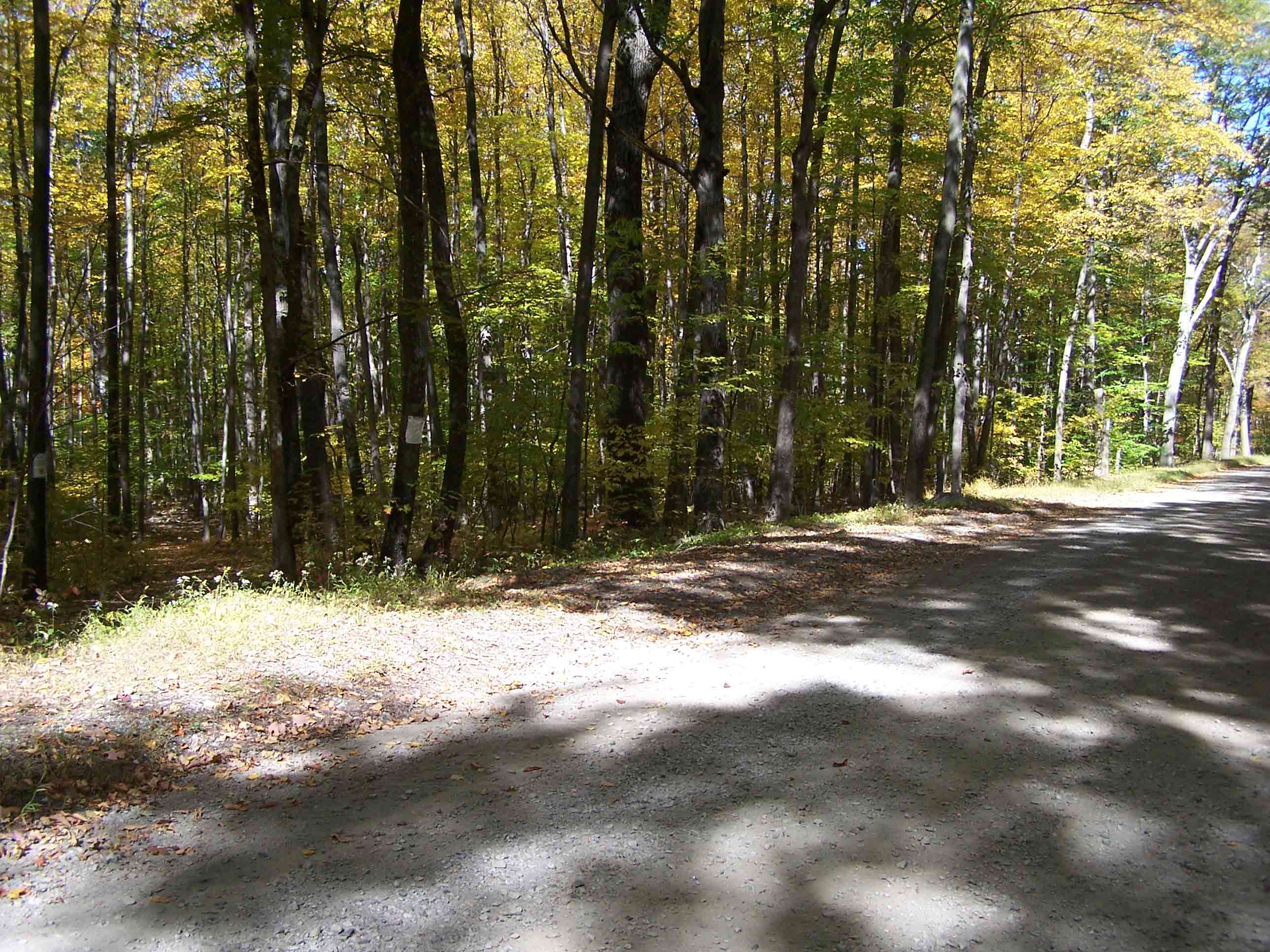
mm 6.0 - Courtwright Road
Submitted by at @ rohland.org
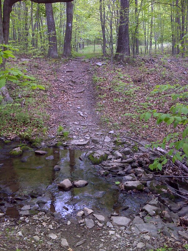
First Stream Crossing north of County Road 519. Taken at approx. mm 6.1.n GPS N41.3265 W 76.6344
Submitted by pjwetzel @ gmail.com
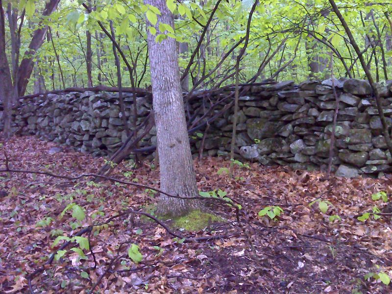
Example of one of the many stone fences the AT passes. GPS N41.3276 W 76.6379
Submitted by pjwetzel @ gmail.com
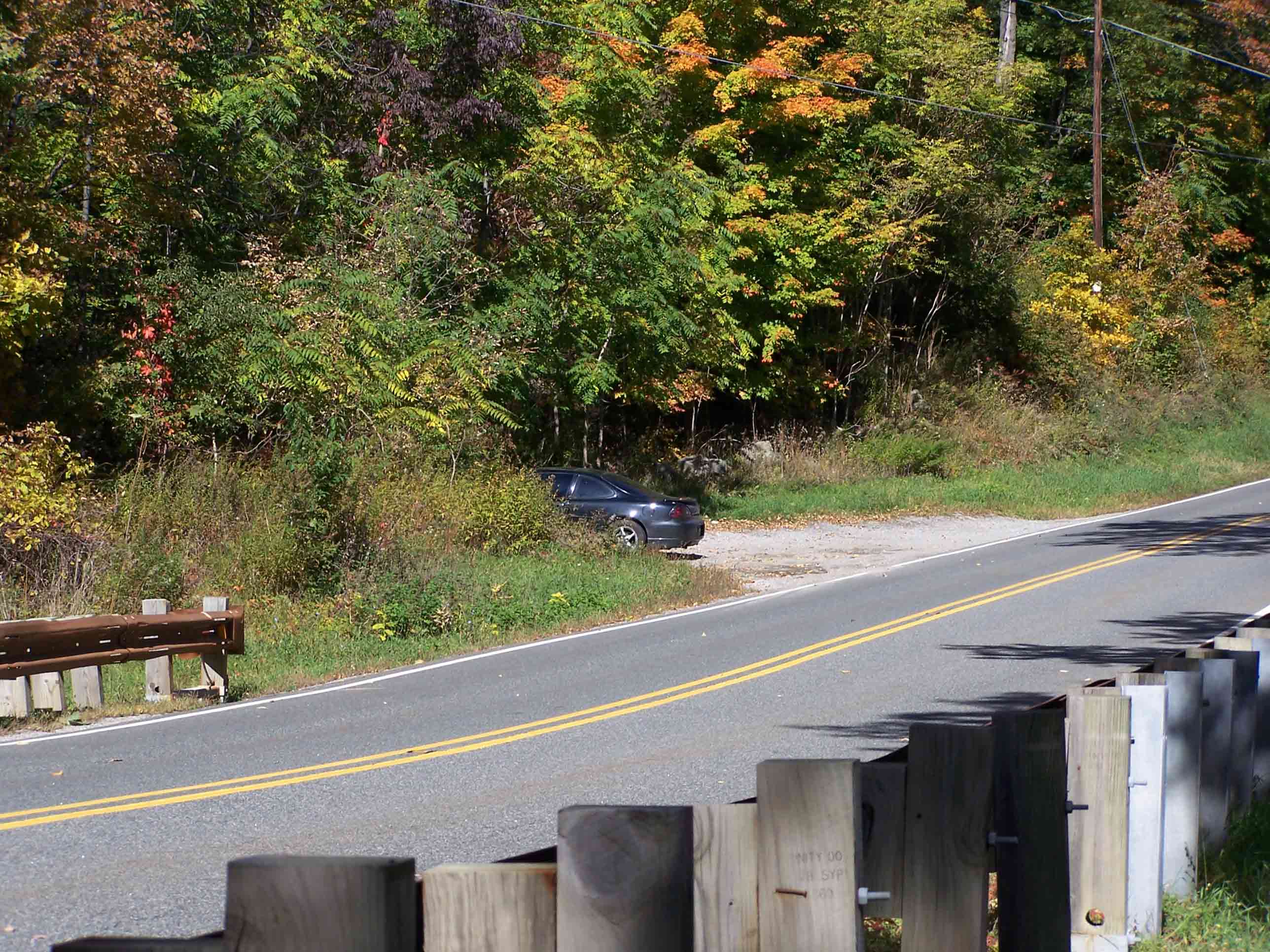
mm 6.8 - Rt. 519
Submitted by at @ rohland.org