NJ Section 3 Pictures - Milemarker 6.8 - 8.1
County Road 519 - High Point Shelter
Move your mouse across the pictures for more information.
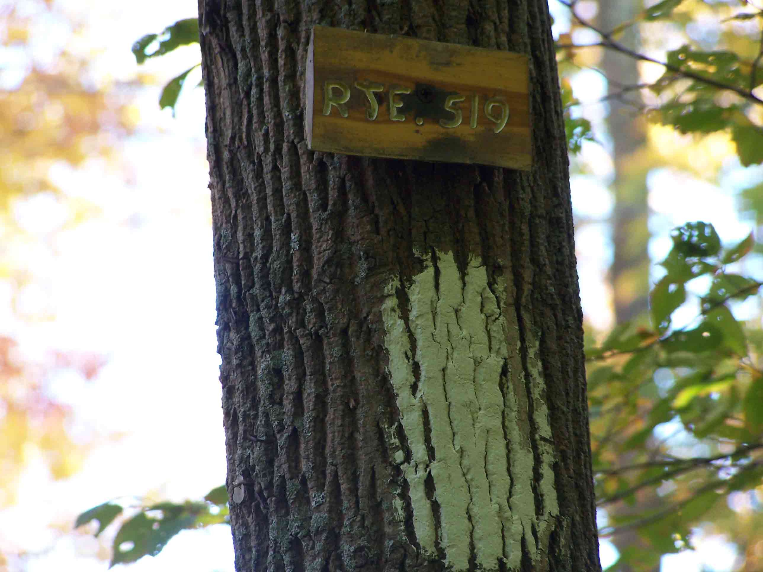
mm 6.8 - Rt. 519
Submitted by at @ rohland.org
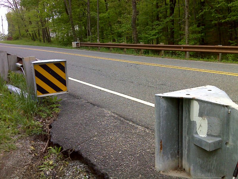
mm 6.8 Trail Crossing of County Road 519. GPS N41.3287 W 76.6431
Submitted by pjwetzel @ gmail.com
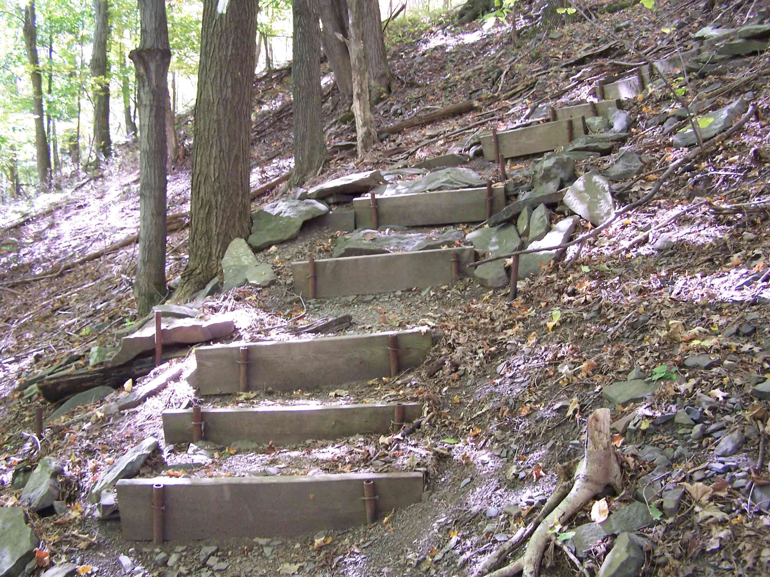
6.9 - Ascend on steps
Submitted by at @ rohland.org
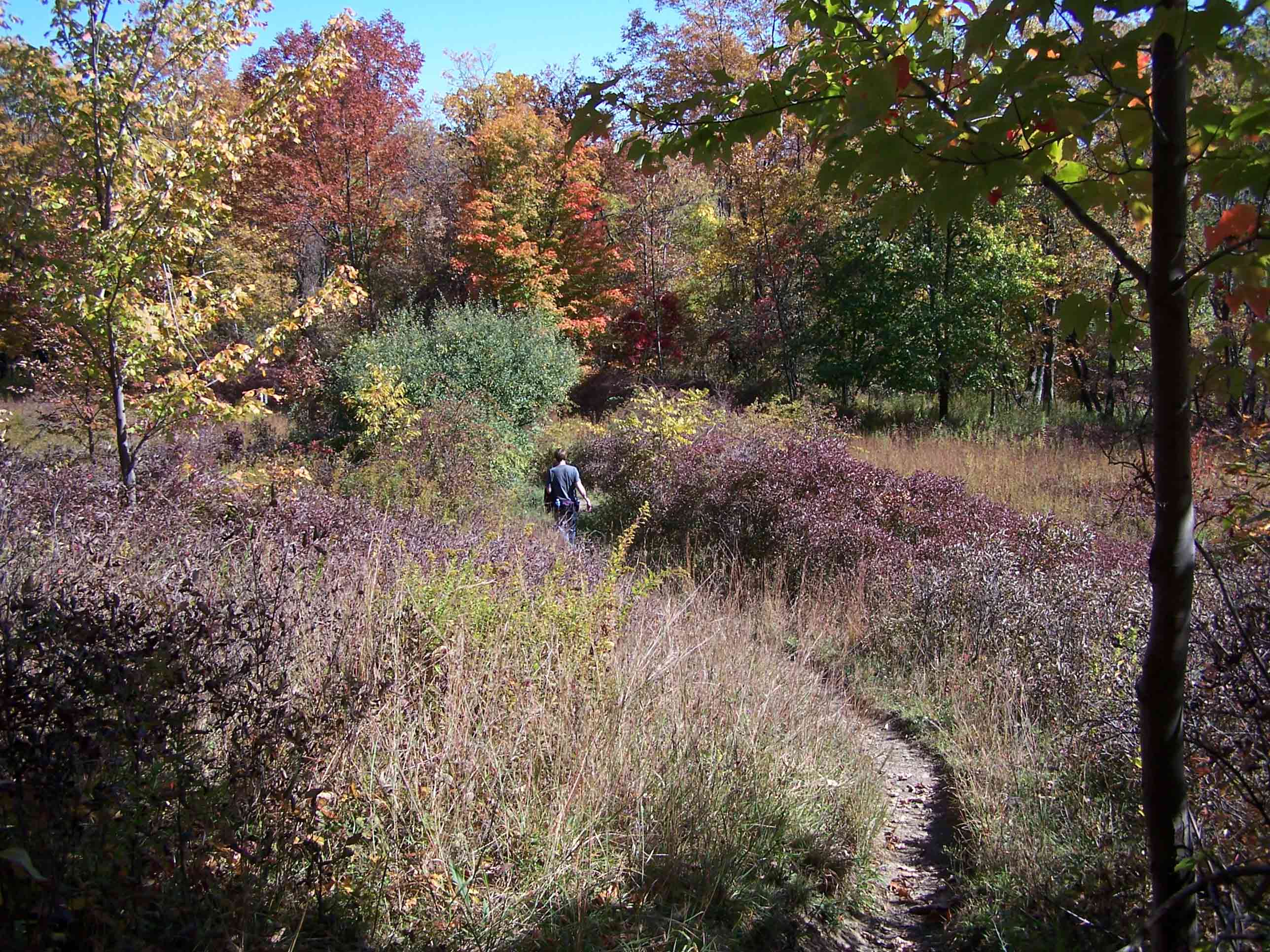
Trail in brush
Submitted by at @ rohland.org
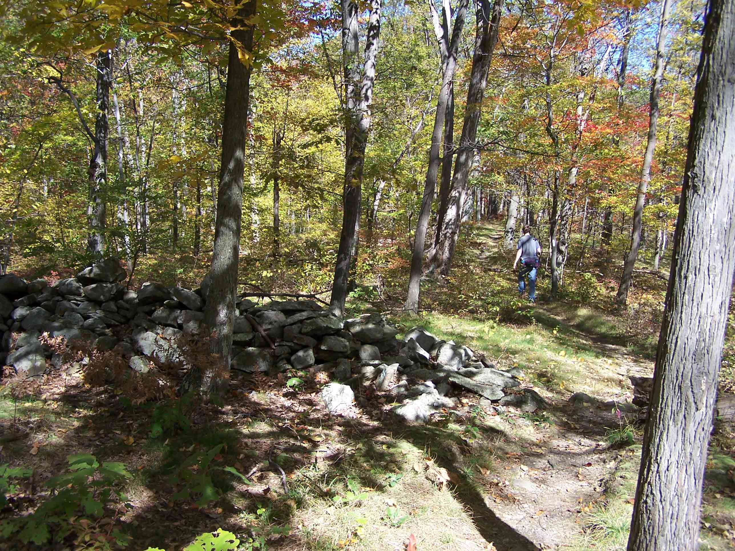
mm 7.3 - Gaps in stone walls for trail
Submitted by at @ rohland.org
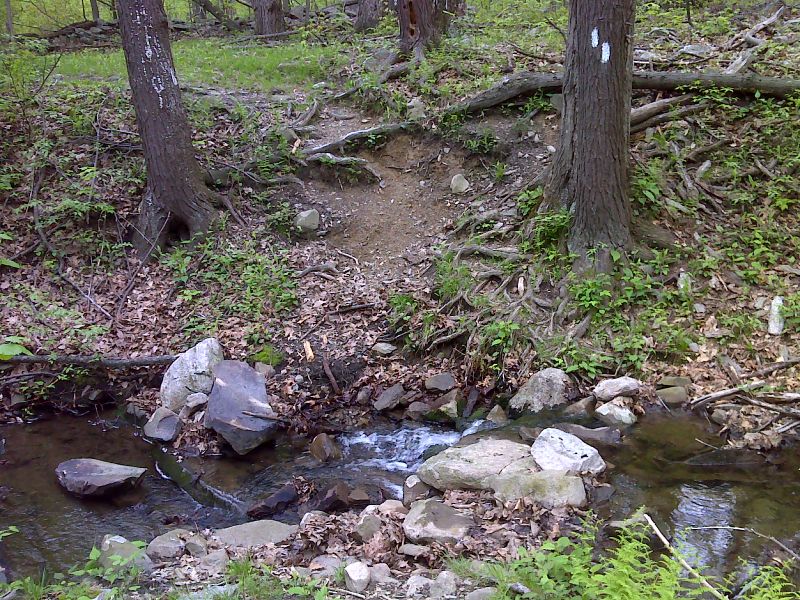
Stream crossing south of County Road 519.A big cascade is just downstream. GPS N41.3200 W 76.664
Submitted by pjwetzel @ gmail.com
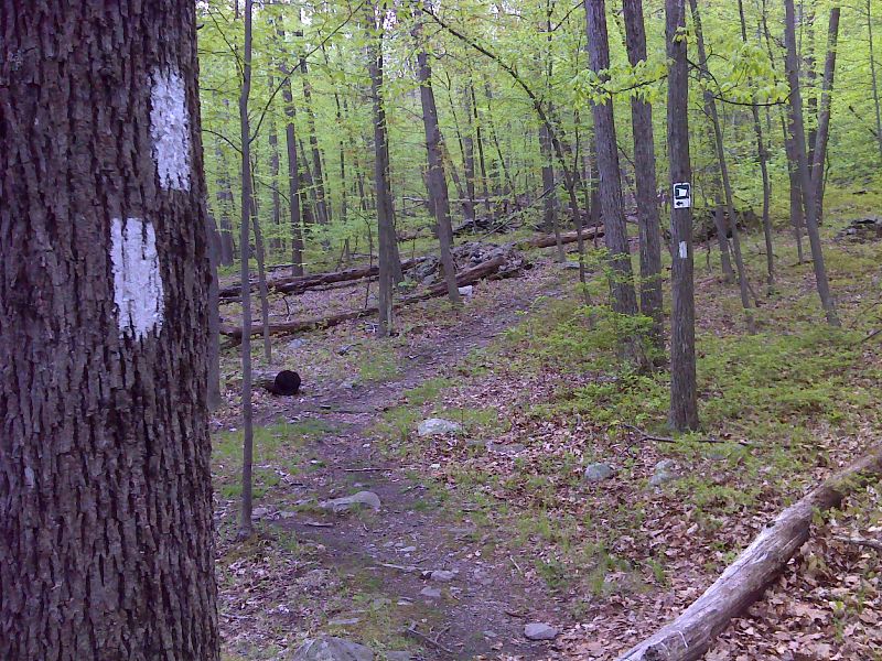
mm 8.1 Junction with blue-blazed side trail to High Point Shelter. GPS N41.3174 W 76.6532
Submitted by pjwetzel @ gmail.com
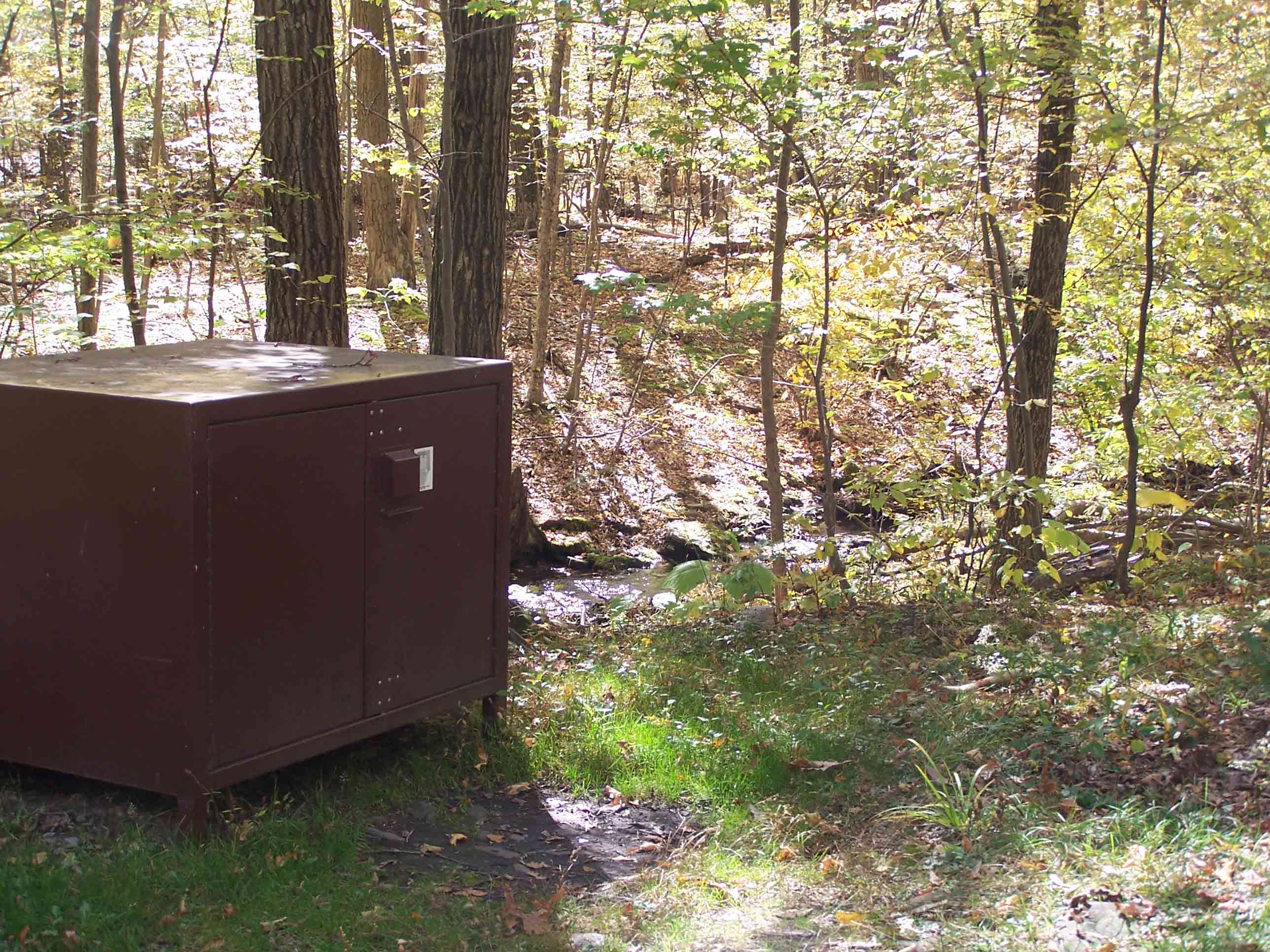
mm 8.1 - Bear proof box for food and stream at High Point Shelter
Submitted by at @ rohland.org