NJ Section 4 Pictures - Milemarker 0.0 - 0.2
NJ 23 - Sheer cliff
Move your mouse across the pictures for more information.
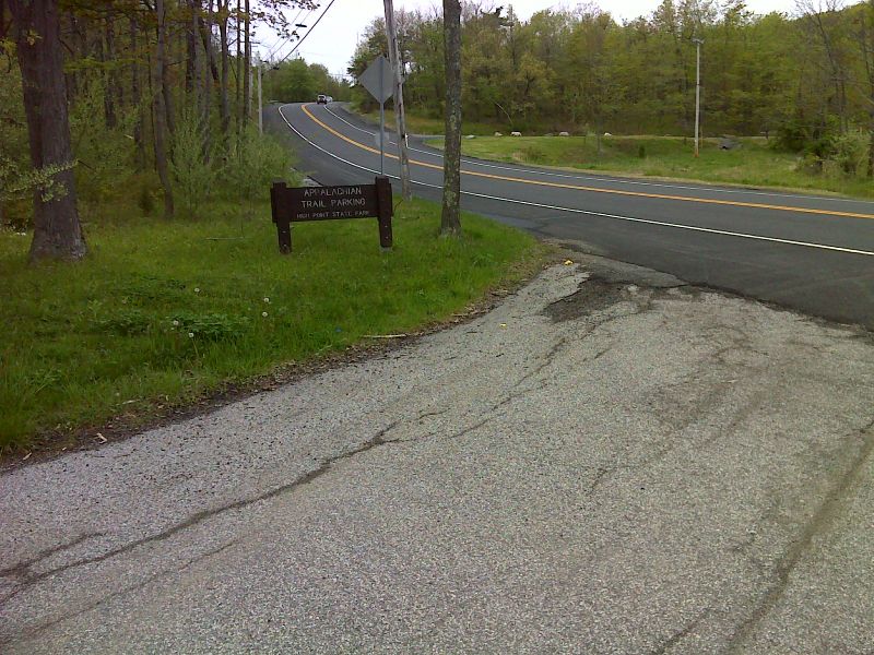
mm 0.0 Parking lot entrance off NJ 23 in High Point State Park. GPS N41.3034 W74.6667
Submitted by pjwetzel @ gmail.com
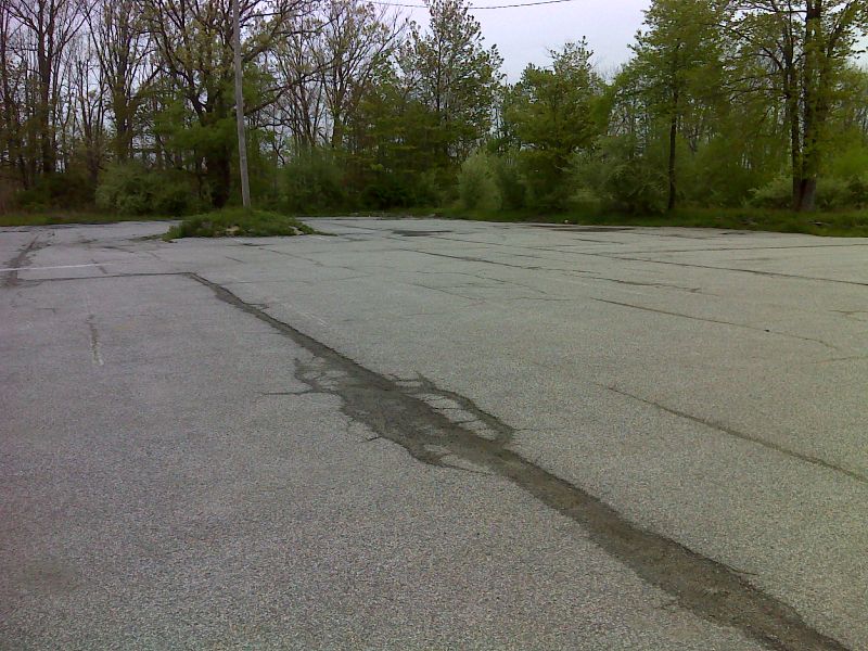
mm 0.0 Huge overnight hiker parking lot off NJ 23 in High Point State Park. A 0.3 mile access trail leads to the AT. GPS N41.3027 W74.6677
Submitted by pjwetzel @ gmail.com
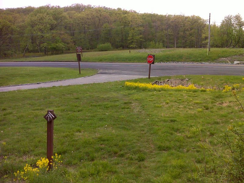
mm 0.0 AT crossing of NJ 23 GPS N41.3050 W74.6705
Submitted by pjwetzel @ gmail.com
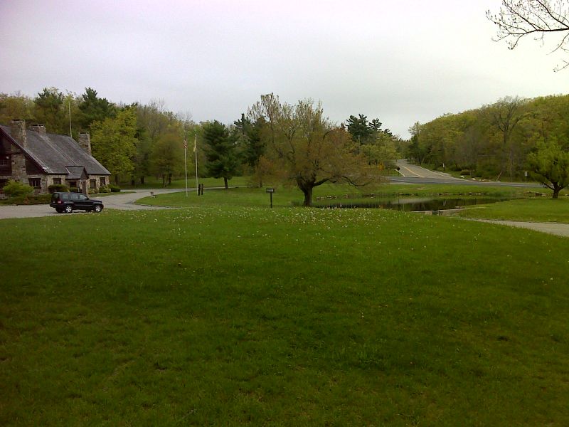
mm 0.0 High Point Sate Park Office from the AT near crossing of NJ 23. GPS N41.3049 W74.6708
Submitted by pjwetzel @ gmail.com
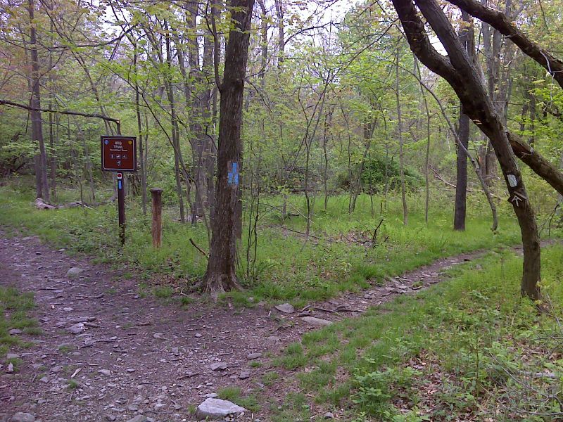
Junction of the AT with the blue-blazed access trail from the hiker parking lot. GPS N41.3034 W74.6718
Submitted by pjwetzel @ gmail.com
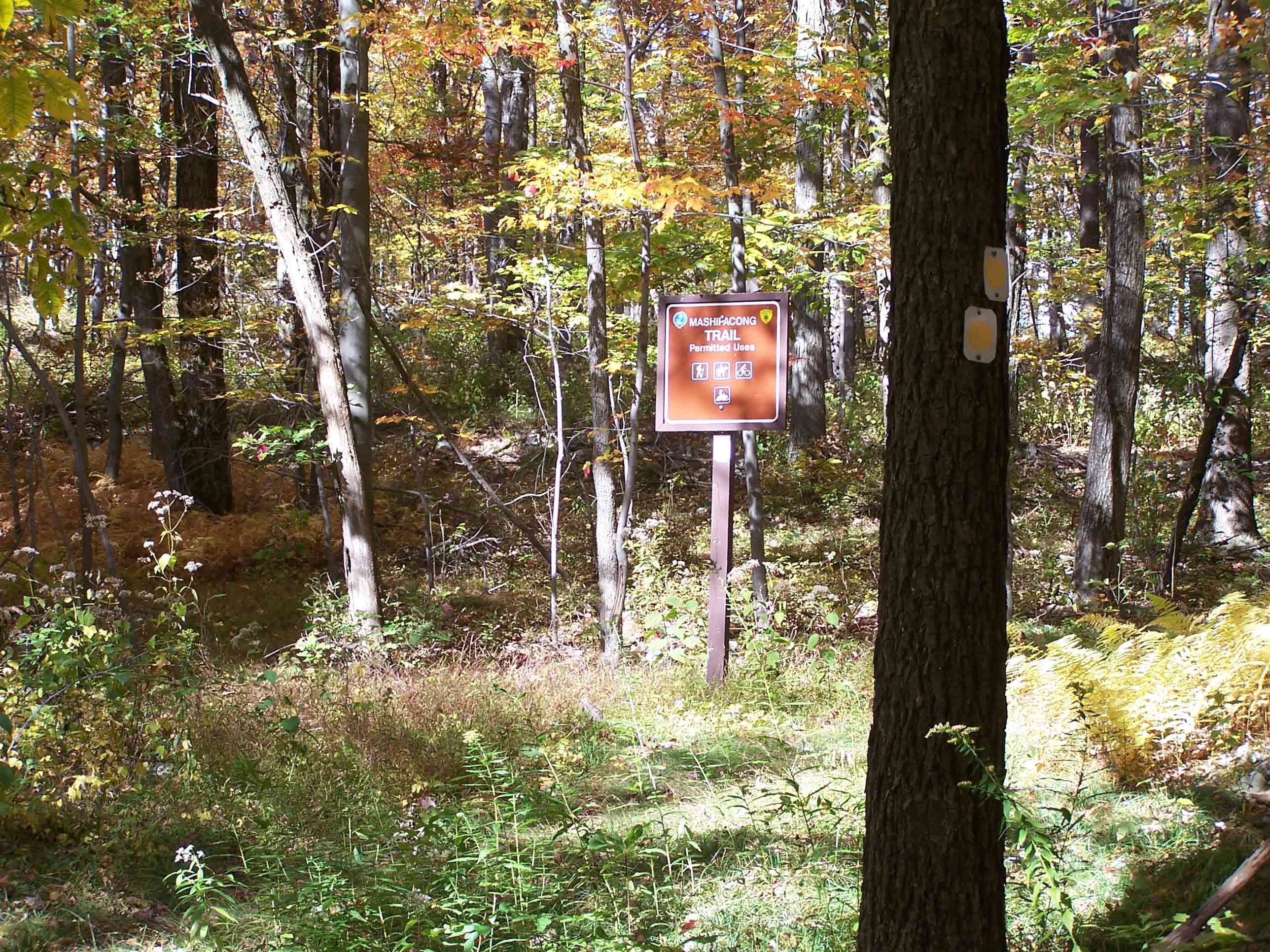
mm 0.1 - Intersection of Mashipacong Trail with the AT
Submitted by at @ rohland.org
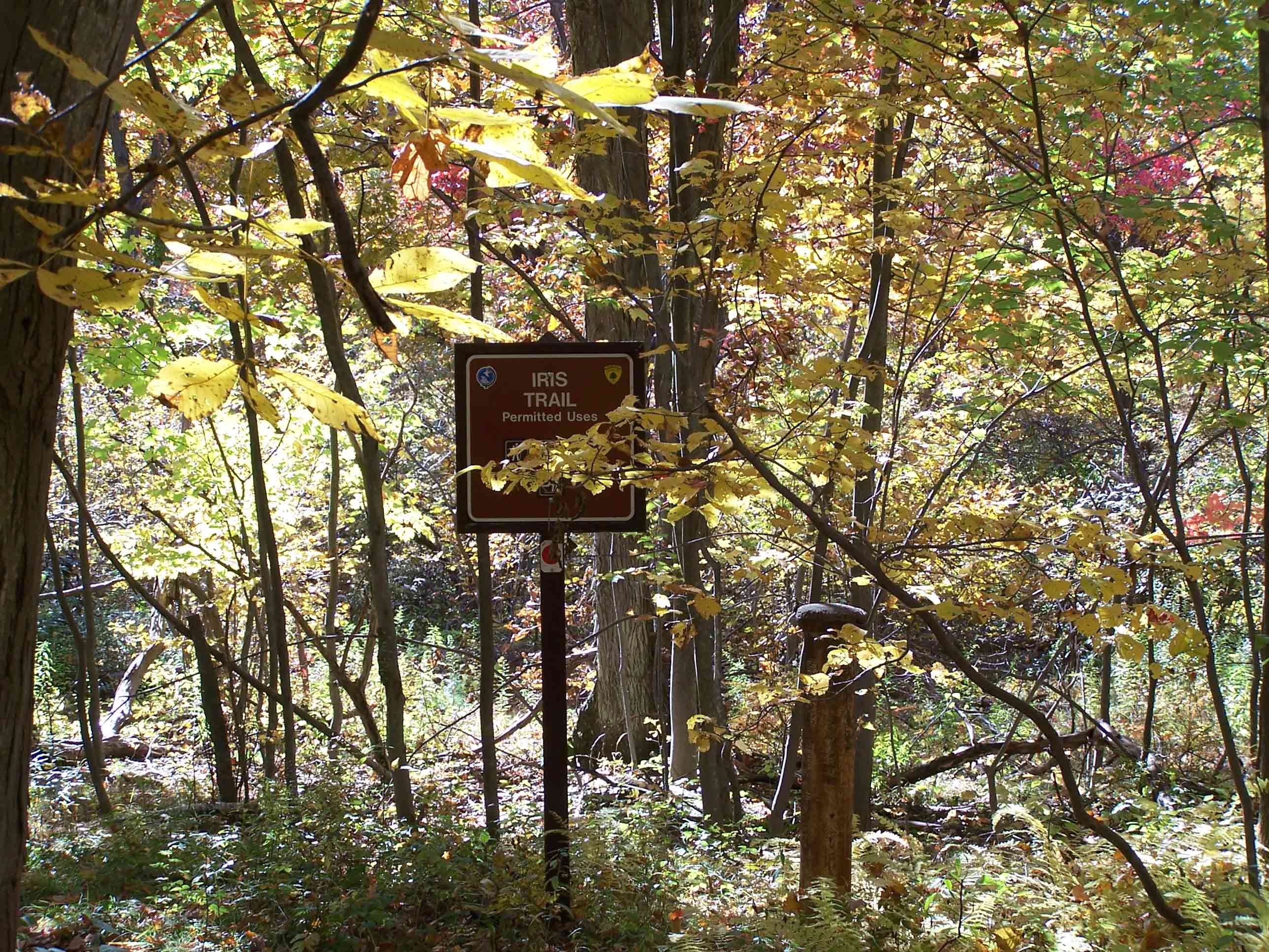
mm 0.1 - Intersection of the Iris Trail and the AT. The Iris Trail can be taken to the Rutherford Shelter.
Submitted by at @ rohland.org
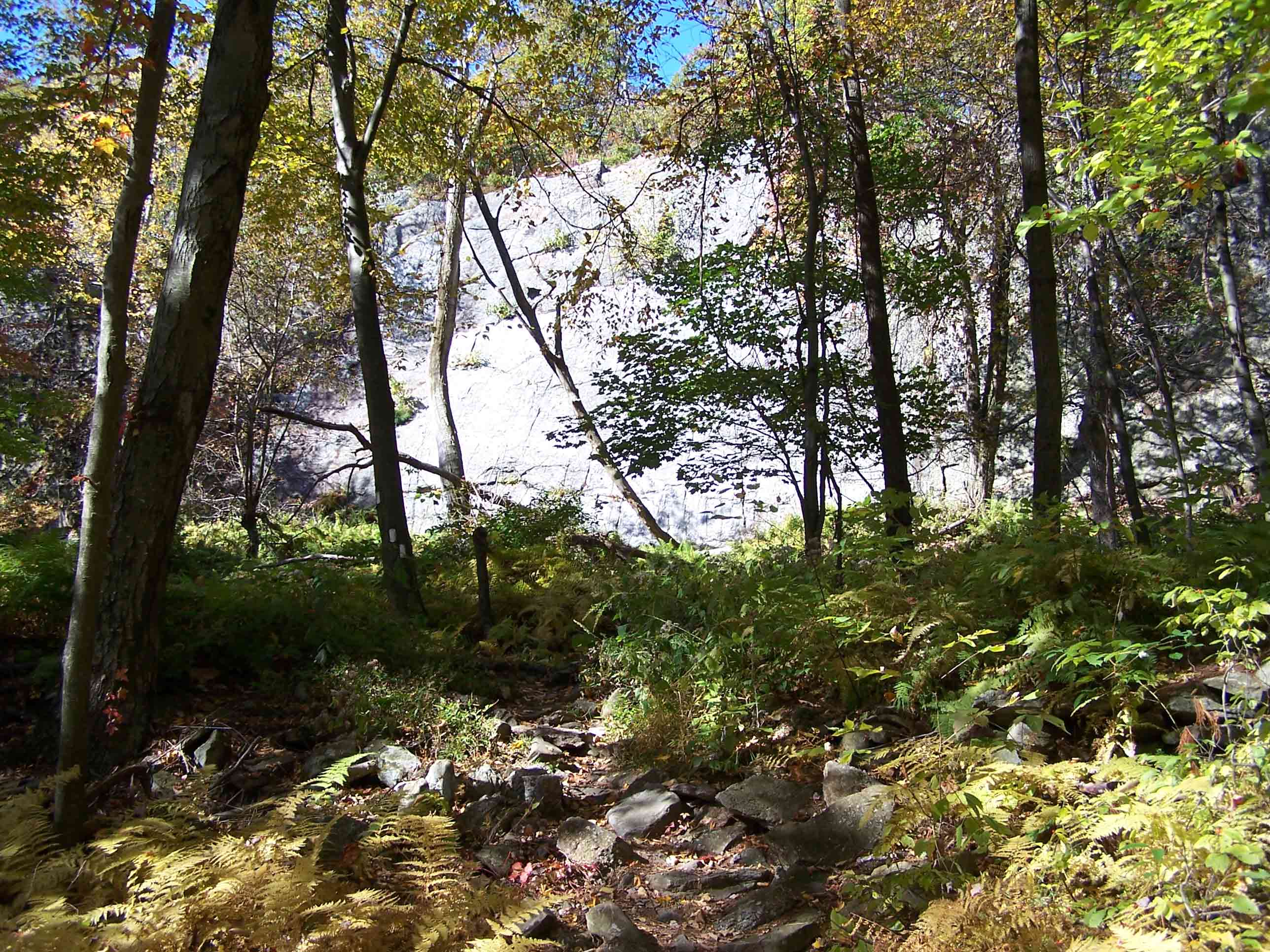
Rock wall beyond trail. Trail turns here.
Submitted by at @ rohland.org