NJ Section 4 Pictures - Milemarker 0.2 - 1.4
Rock Cliff - Viewpoint to West
Move your mouse across the pictures for more information.
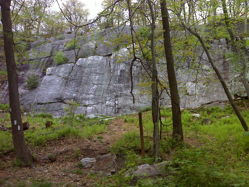
Impressive sheer cliff. GPS N41.3026 W74.6734
Submitted by pjwetzel @ gmail.com
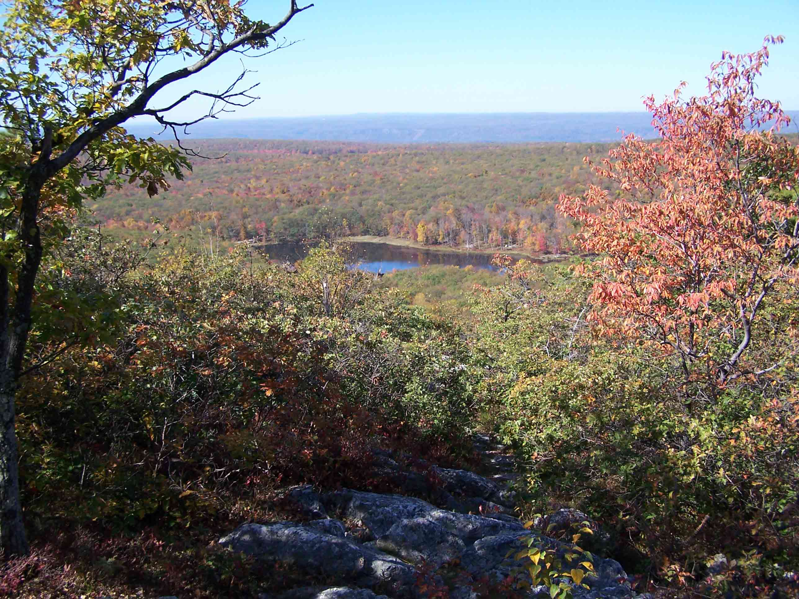
mm 1.4 - Viewpoint
Submitted by at @ rohland.org
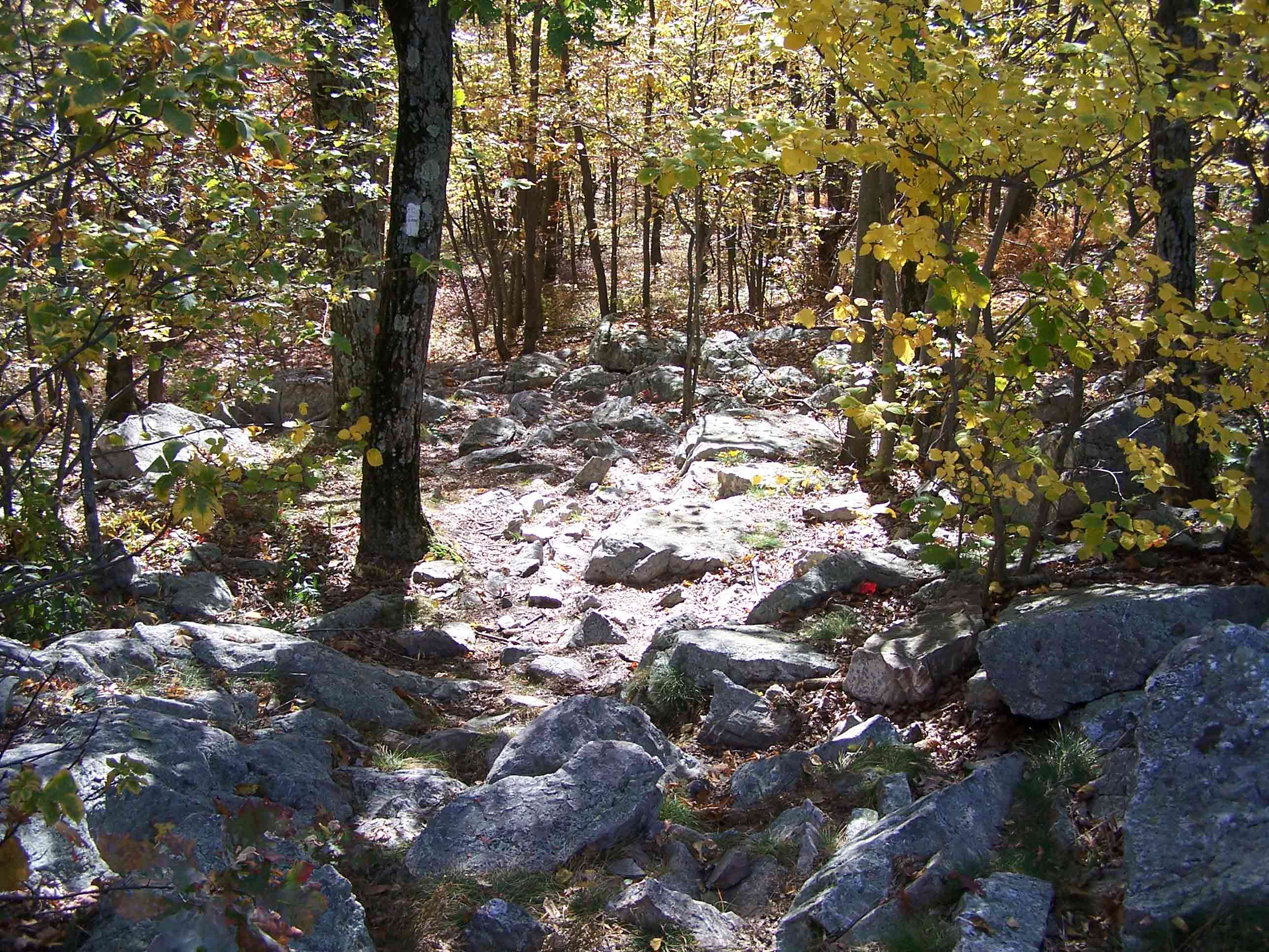
Rocky Trail
Submitted by at @ rohland.org
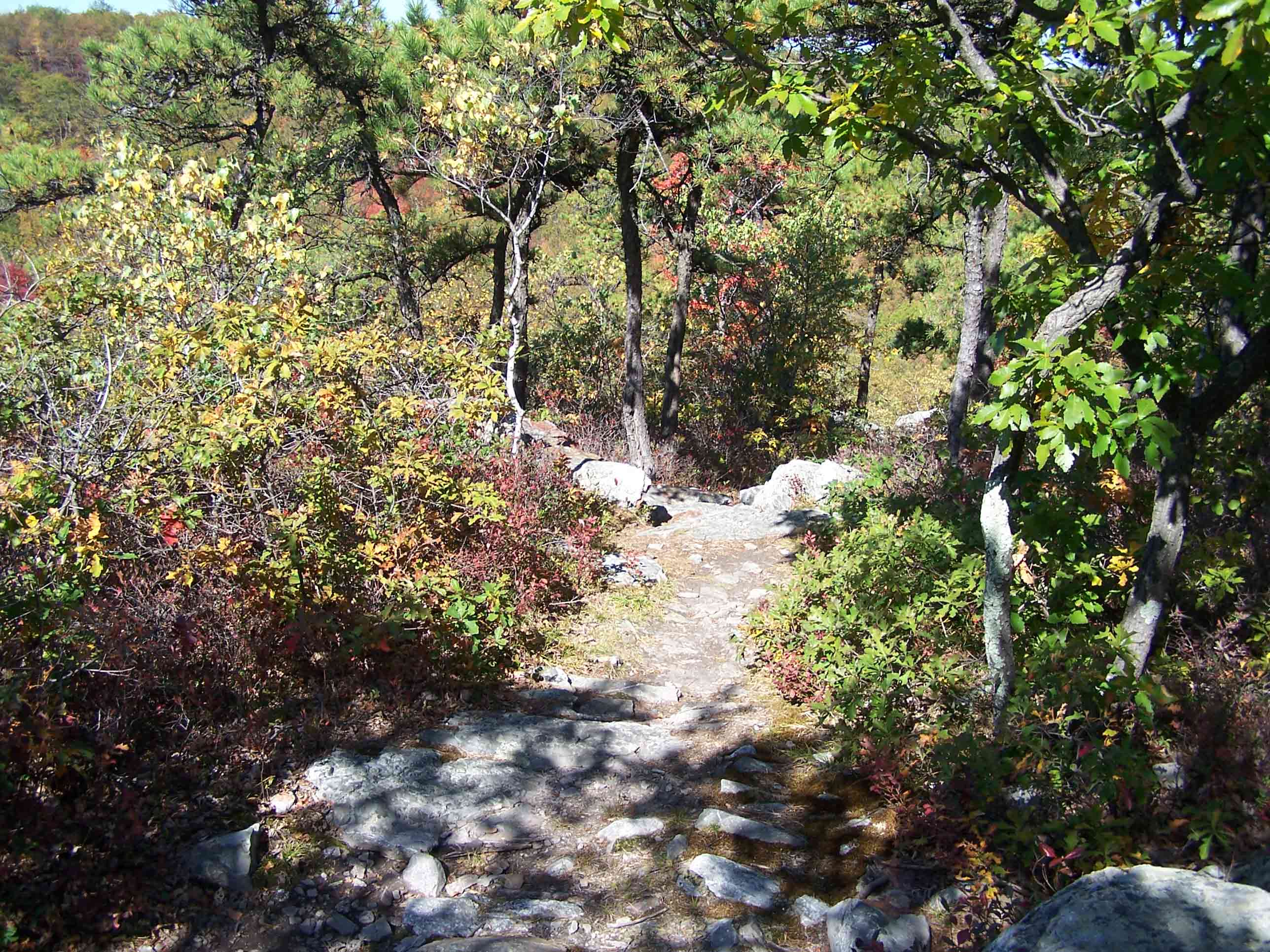
Trail
Submitted by at @ rohland.org
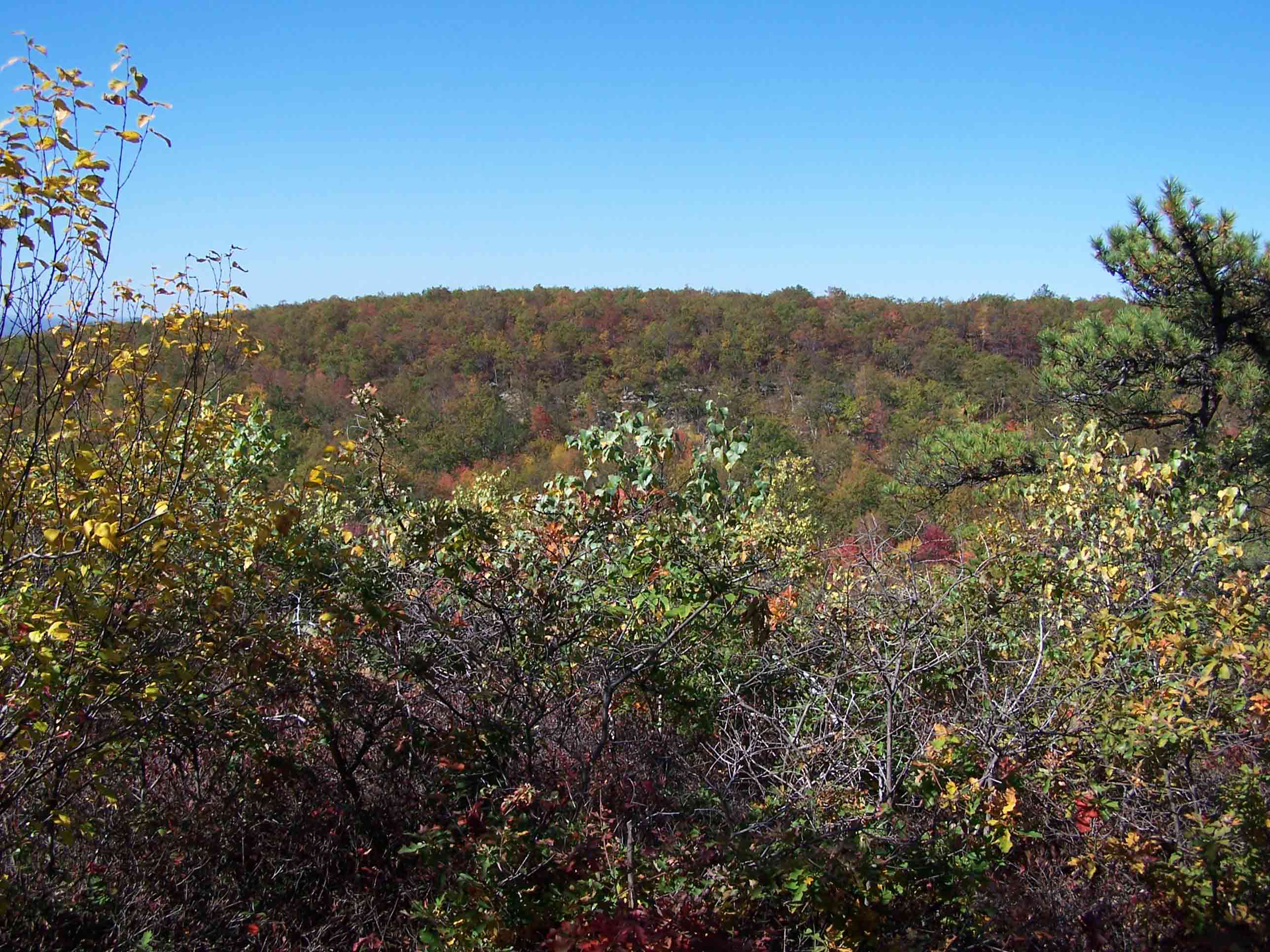
mm 1.4 - View
Submitted by at @ rohland.org
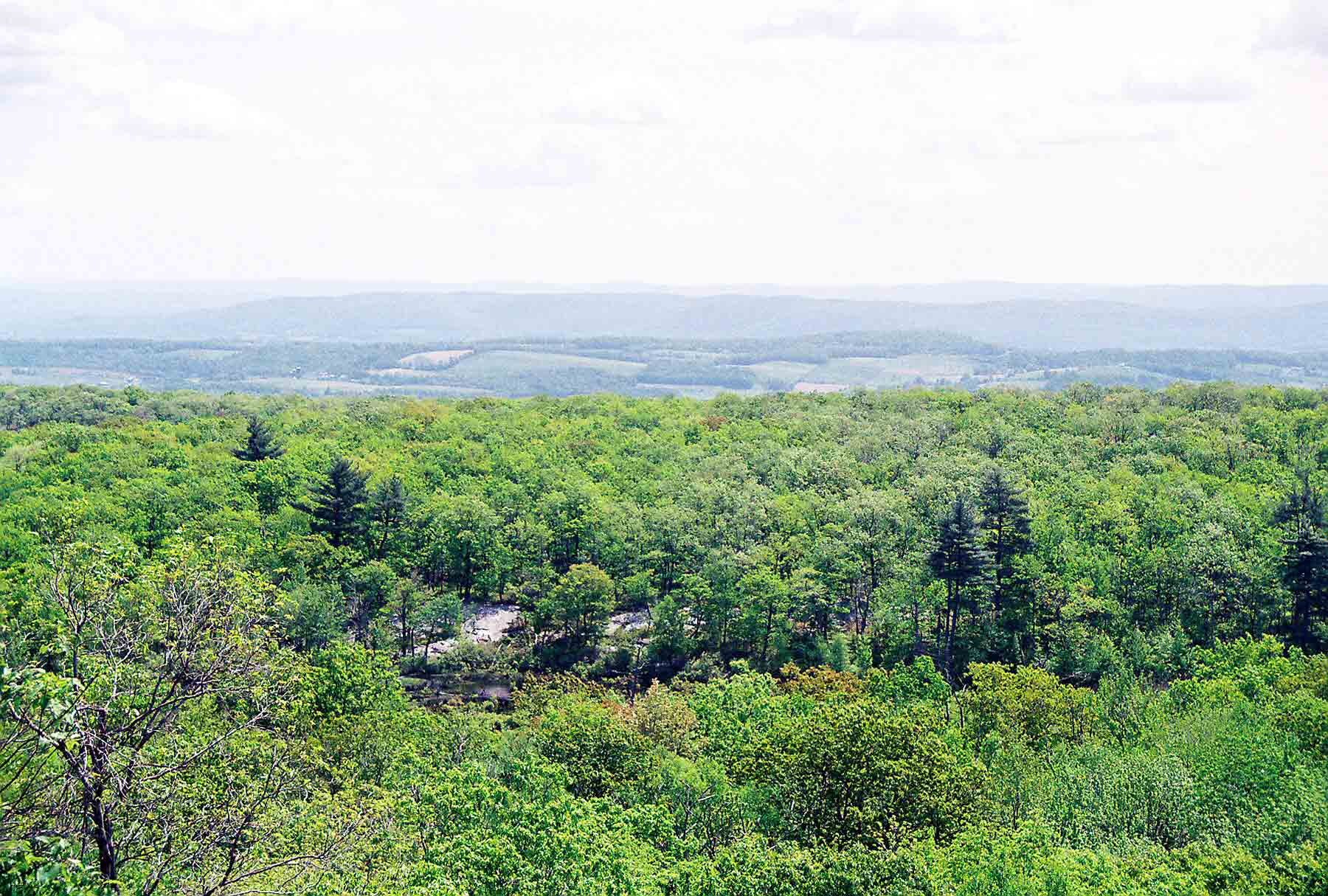
mm 1.4 - Looking east from the AT south of NJ 23 in High Point State Park. Two ranges of mountains can be seen in the distance, the nearer is Pochuk Mountain, the further is Wayanda Mt. The AT crosses both of these.
Submitted by dlcul @ conncoll.edu
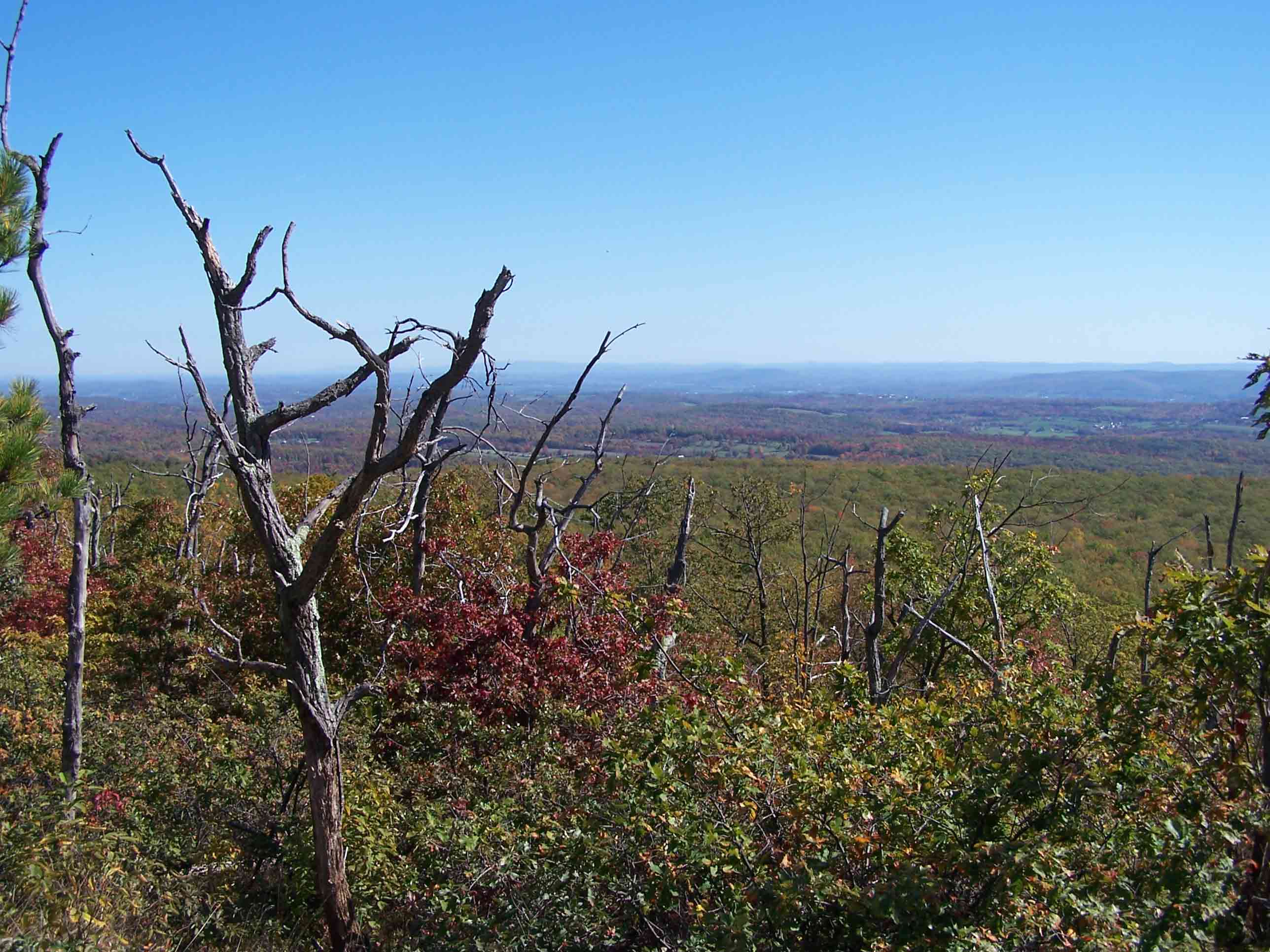
mm 1.4 - View
Submitted by at @ rohland.org
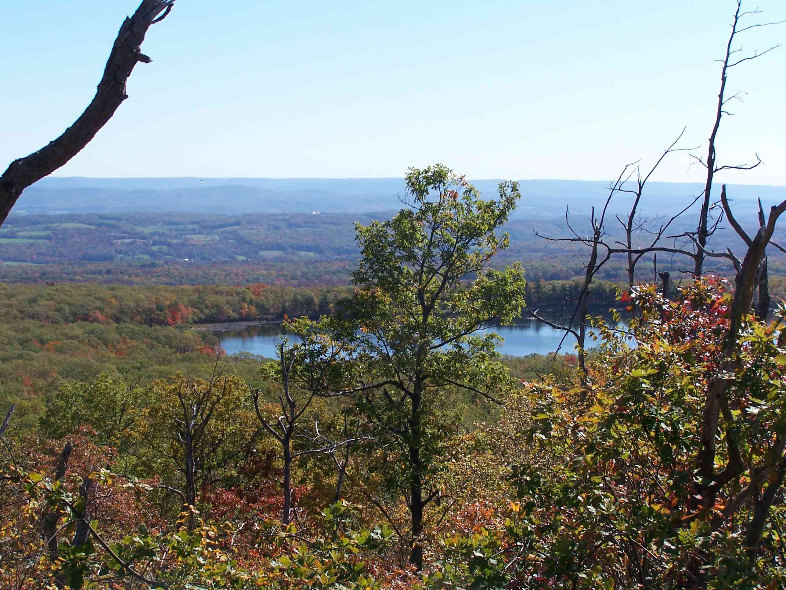
mm 1.4 - View
Submitted by at @ rohland.org