NJ Section 5 Pictures - Milemarker 2.1 - 4.3
South of Lake Owassa Viewpoints - Cleared Area
Move your mouse across the pictures for more information.
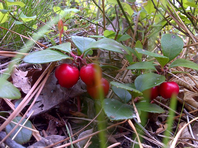
Abundant ripe Tea Berries in open burn area. GPS N41.1622 W74.8144
Submitted by pjwetzel @ gmail.com
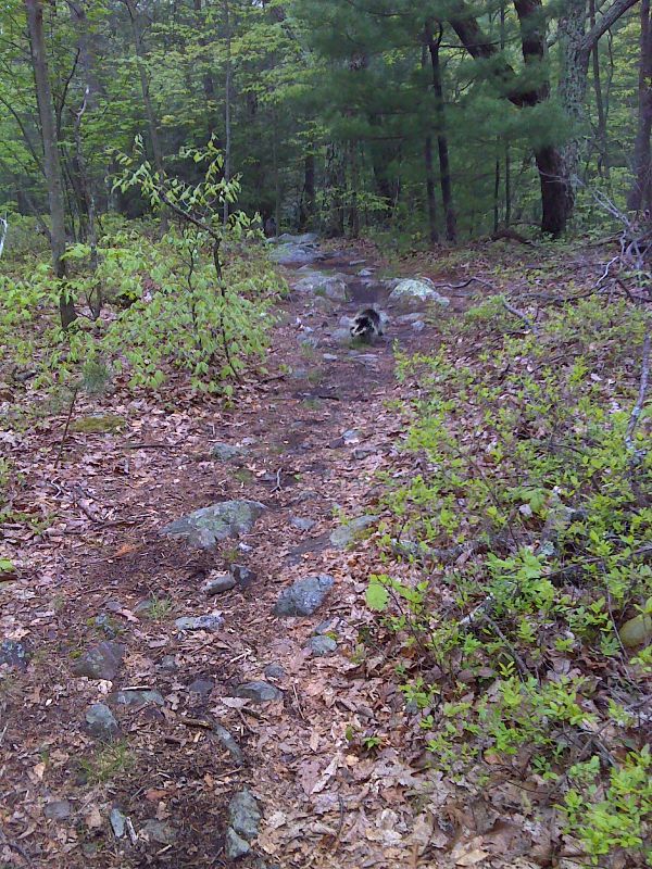
Porcupine on trail. GPS N41.1512 W74.8368
Submitted by pjwetzel @ gmail.com
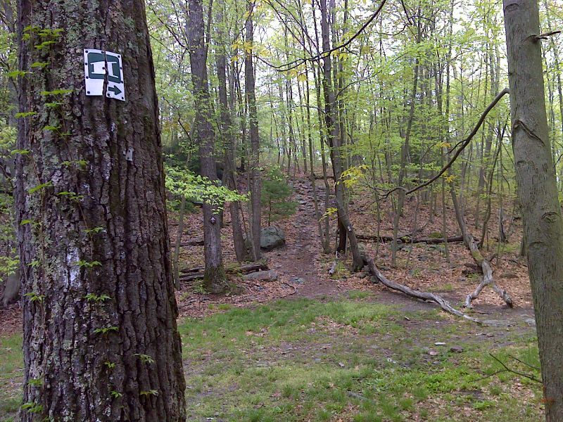
mm 3.6 Side trail to Brink Shelter. GPS N41.1509 W74.8377
Submitted by pjwetzel @ gmail.com
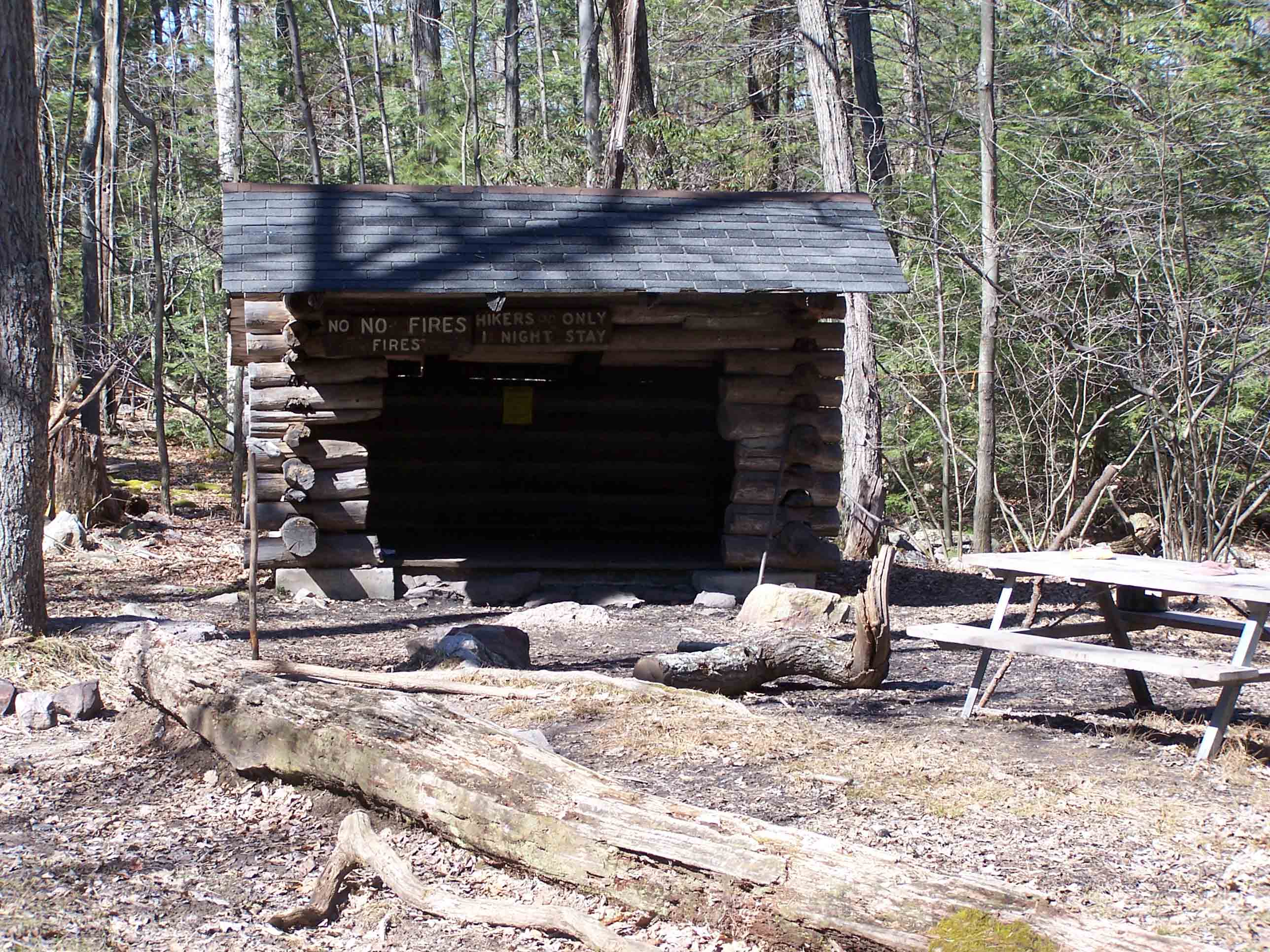
mm 3.6 - Brink Road Shelter
Submitted by at @ rohland.org
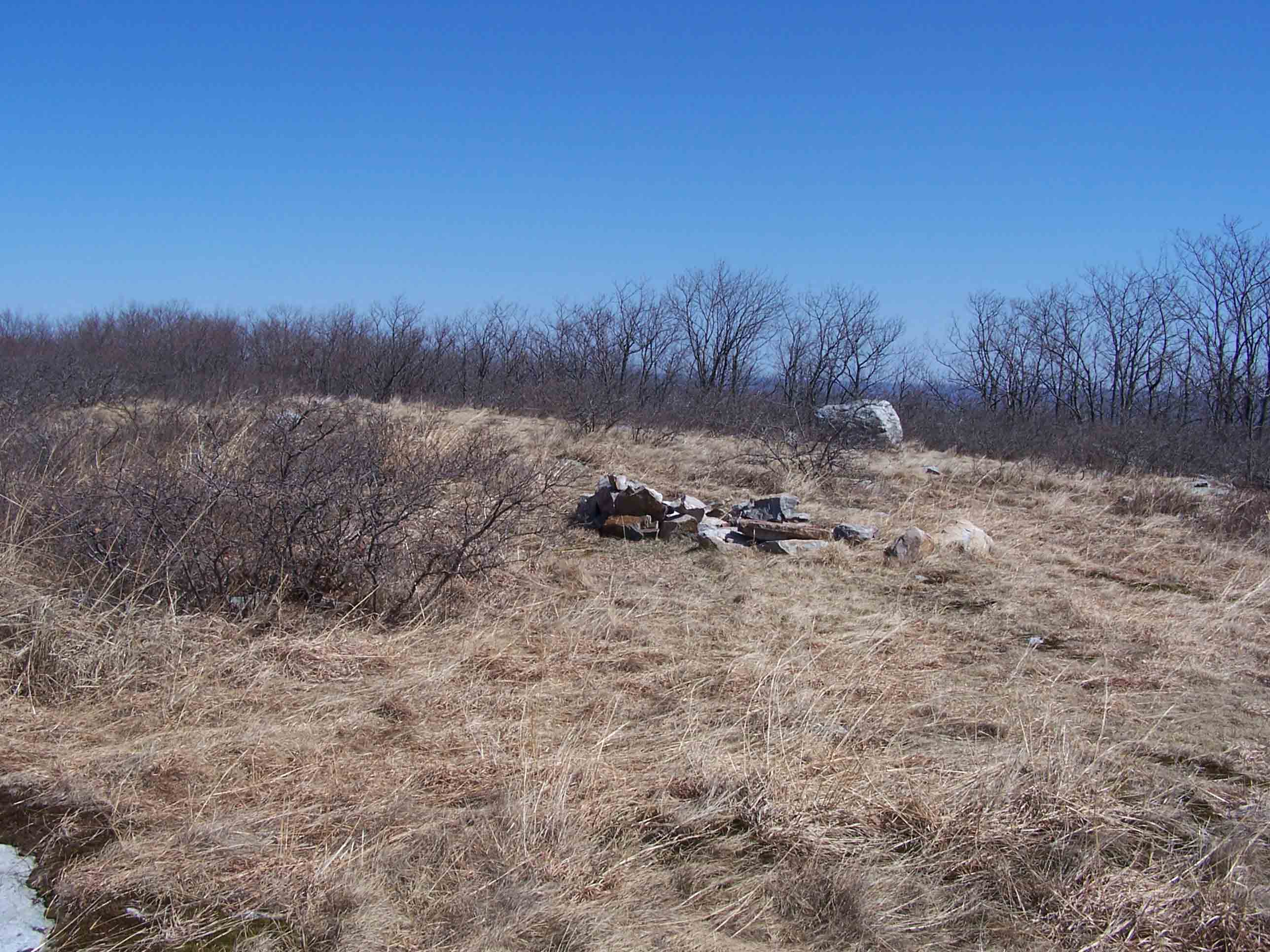
mm 4.3 - Cleared area
Submitted by at @ rohland.org
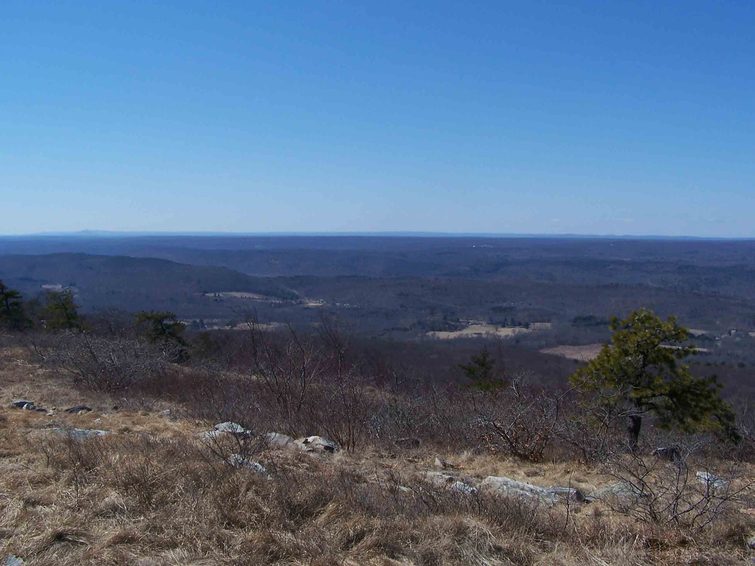
mm 4.3 - Views over the Wallpack Valley and the Pocono Plateau
Submitted by at @ rohland.org
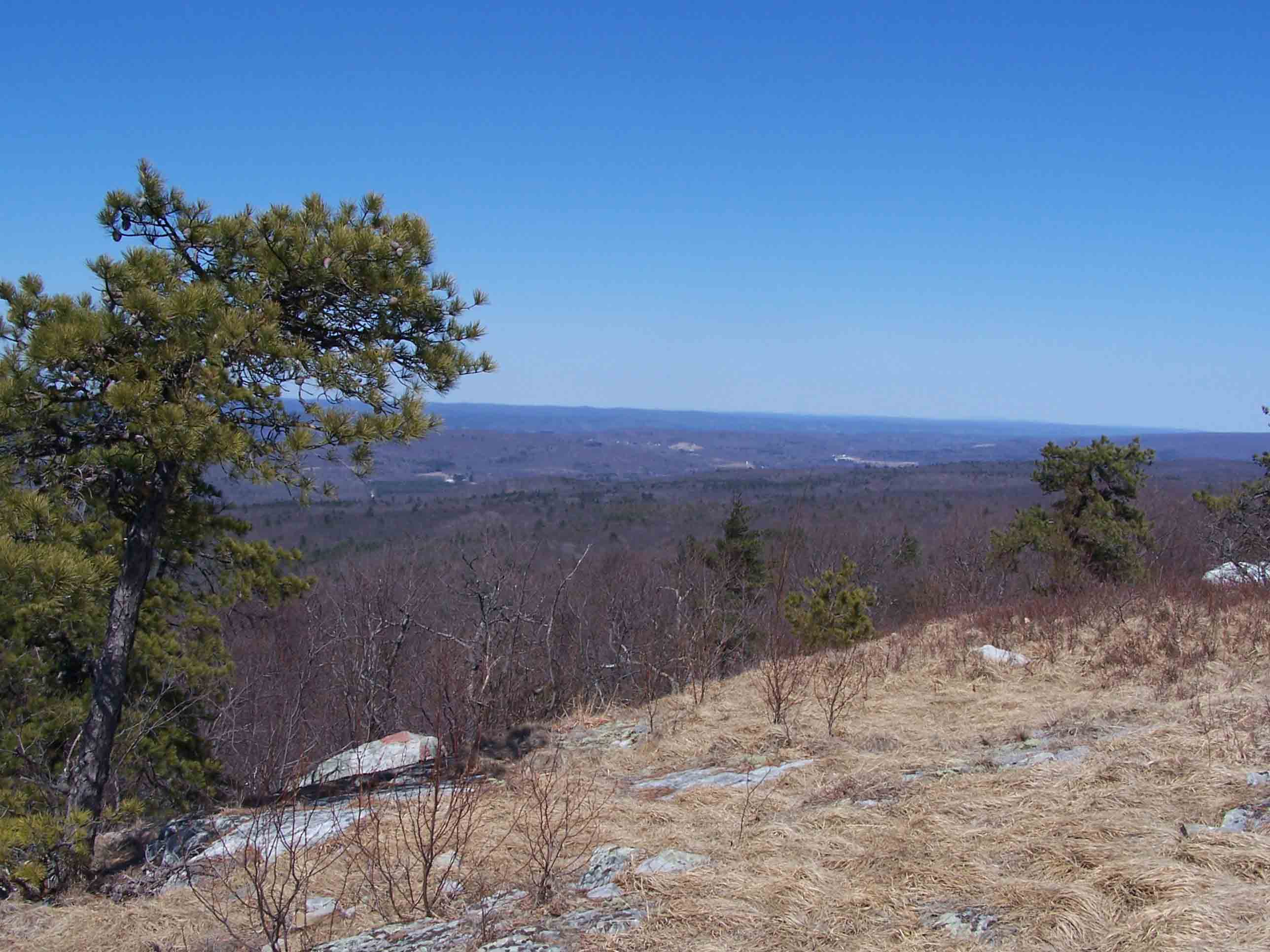
mm 4.3 - Cleared area
Submitted by at @ rohland.org
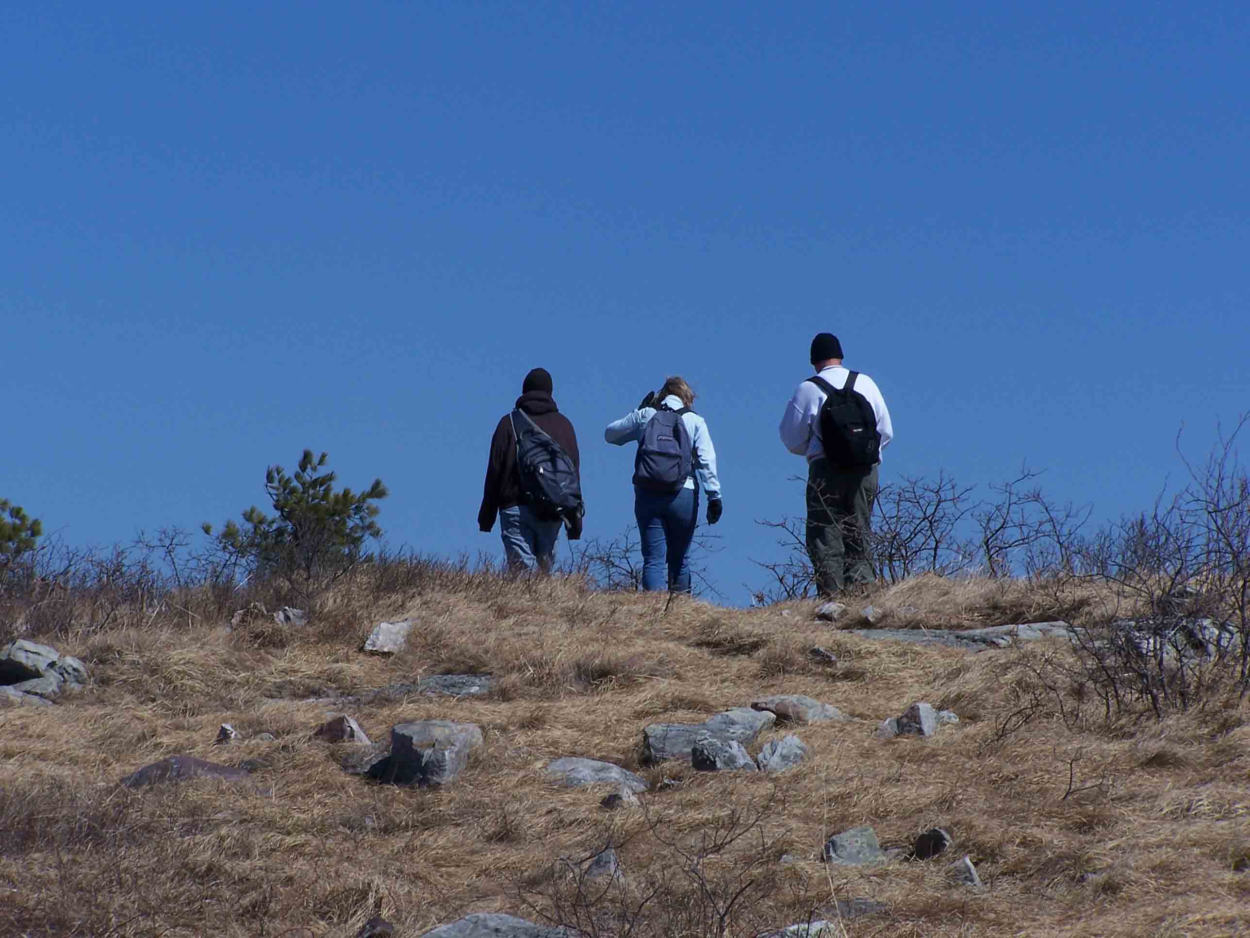
mm 4.3 - Cleared area - Jesse, Heather and David hiking north
Submitted by at @ rohland.org