NJ Section 5 Pictures - Milemarker 8.5 - 9.3
Hemlock Pond TRail - Swamp
Move your mouse across the pictures for more information.
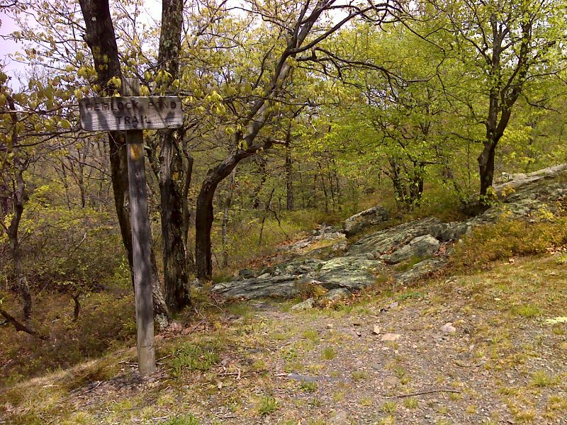
mm 8.5 Junction with the orange-blazed Hemlock Pond Trail. GPS N41.1118 W74.8969
Submitted by pjwetzel @ gmail.com
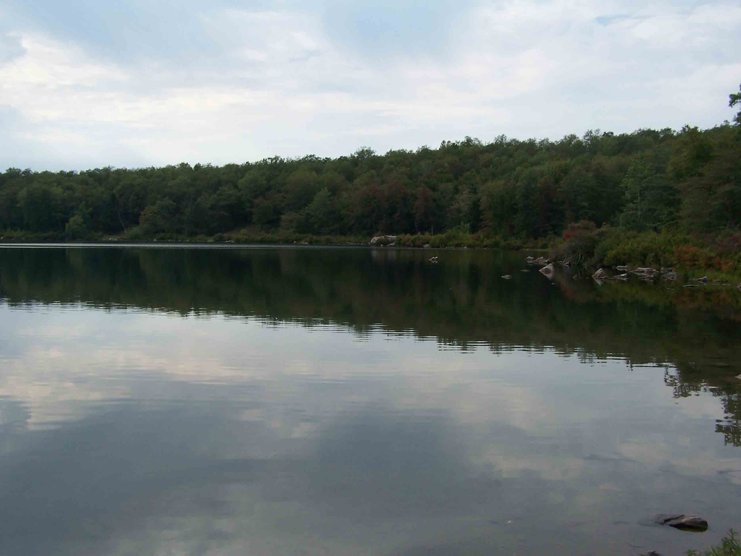
Crater Lake looking west. From this point the Hemlock Pond Trail leads to the AT at MM 8.5.
Submitted by at @ rohland.org
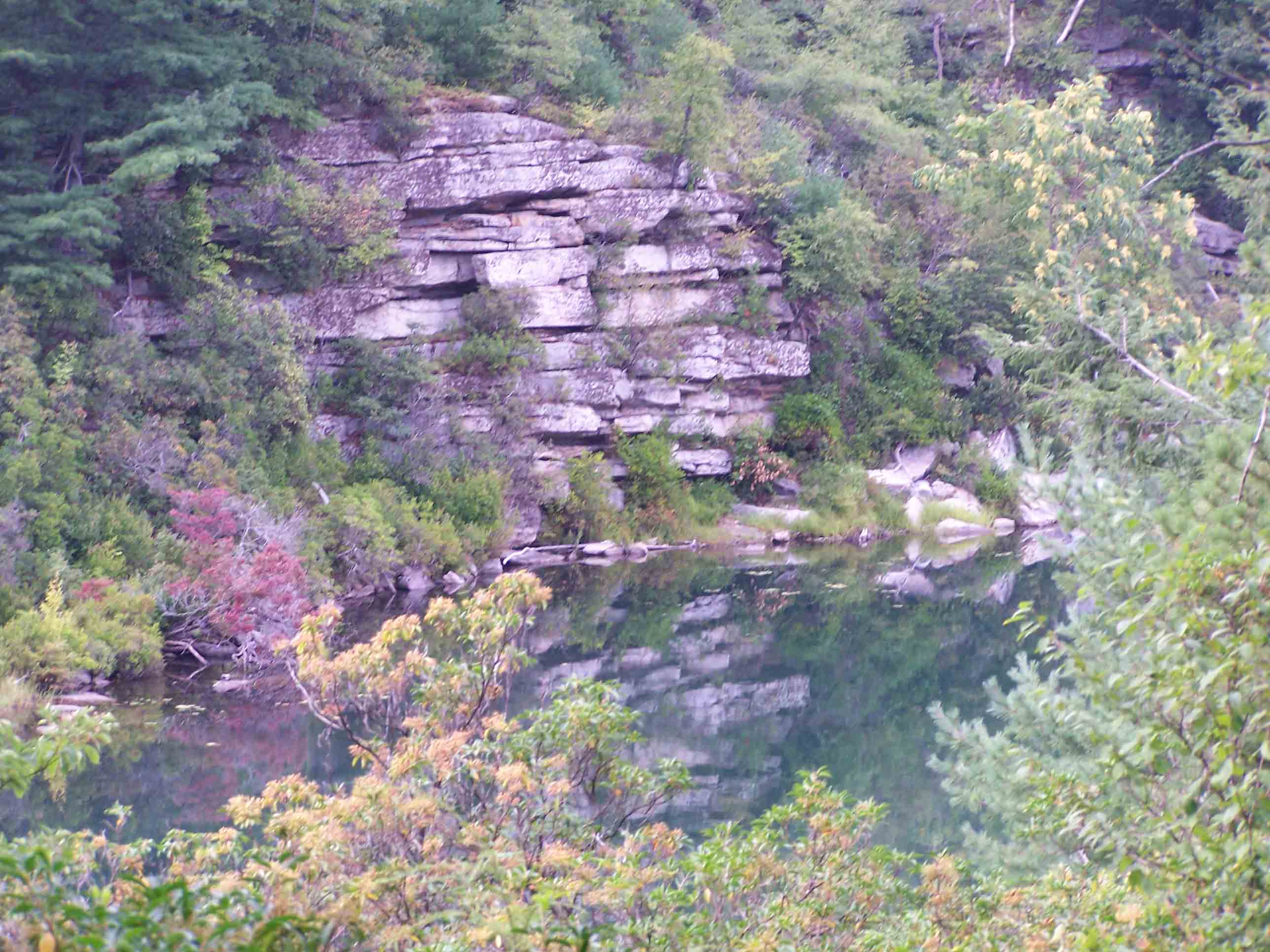
mm 8.8 - View of Crater Lake from orange trail
Submitted by at @ rohland.org
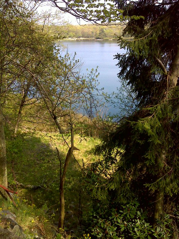
Crater Lake from camping area. GPS 41.1107 N74.8975.
Submitted by pjwetzel @ gmail.com
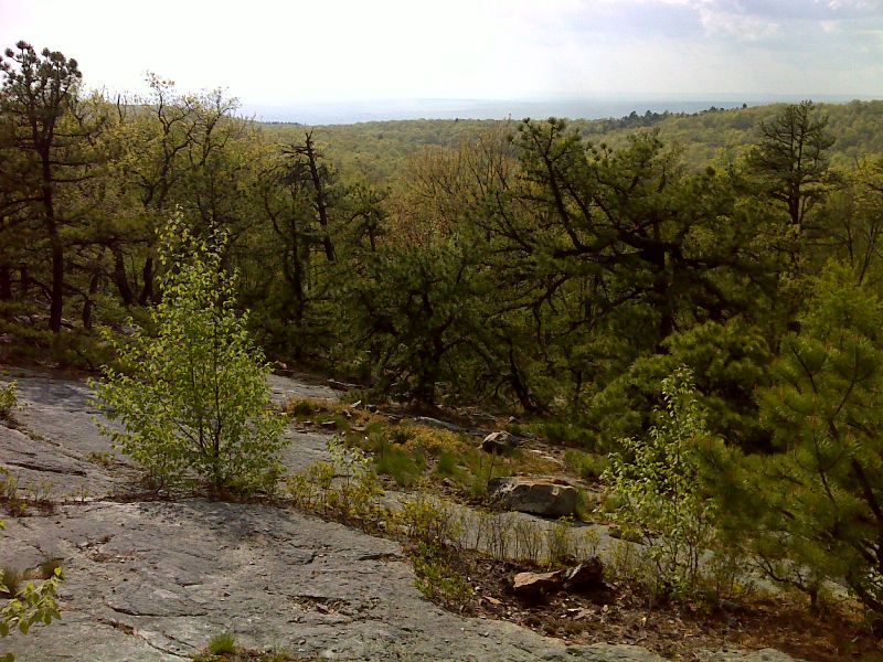
View to the northwest from ridge near Crater Lake. GPS 41.1085 N74.9005.
Submitted by pjwetzel @ gmail.com
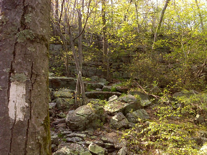
mm 8.9 The northbound AT climbs the face of this steep escarpment. Use of hands may be required. Nearby is the Hardling Lake Shelter, a rock shelter used by Native Americans 5000 years ago. GPS 41.1076 N74.9000.
Submitted by pjwetzel @ gmail.com
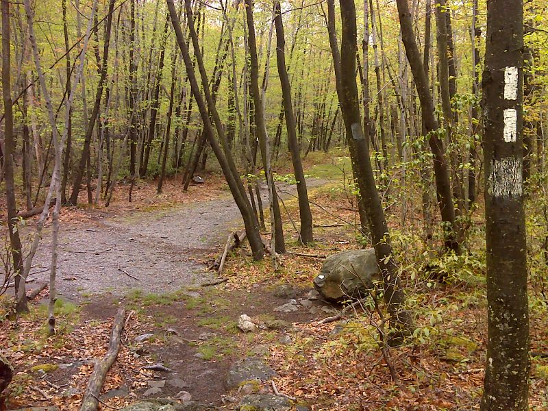
The AT crosses a woods road between Lake Success and Lone Pine Road. This can be followed east to the Crater Lake parking area. This road is just south of the cliff seen in the previous photo. GPS 41.1065 N74.9002.
Submitted by pjwetzel @ gmail.com
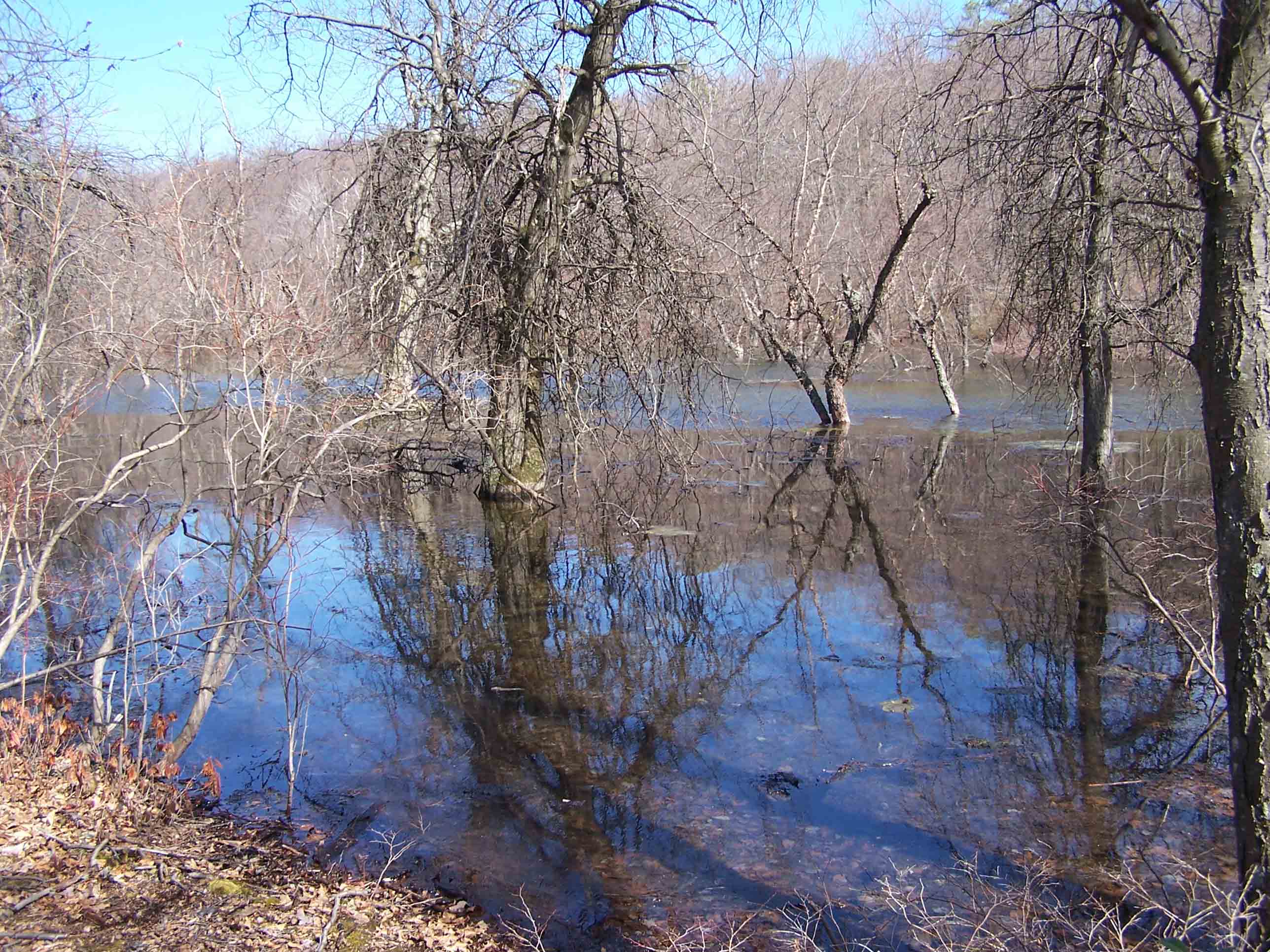
mm 9.3 - Swamp 3/31/07
Submitted by at @ rohland.org