NJ Section 5 Pictures - Milemarker 13.6 - 14.0
View of Sand Pond - Beaver Pond
Move your mouse across the pictures for more information.
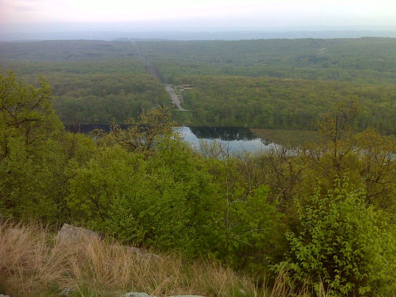
mm 13.6 Sand Pond from near power line clearing. GPS N41.0635 W74.9537
Submitted by pjwetzel @ gmail.com
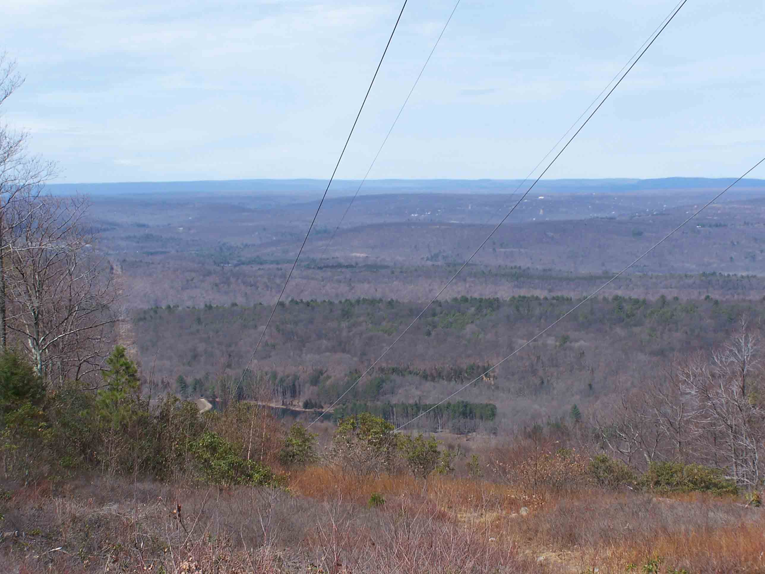
mm 13.7 Power line
Submitted by at @ rohland.org
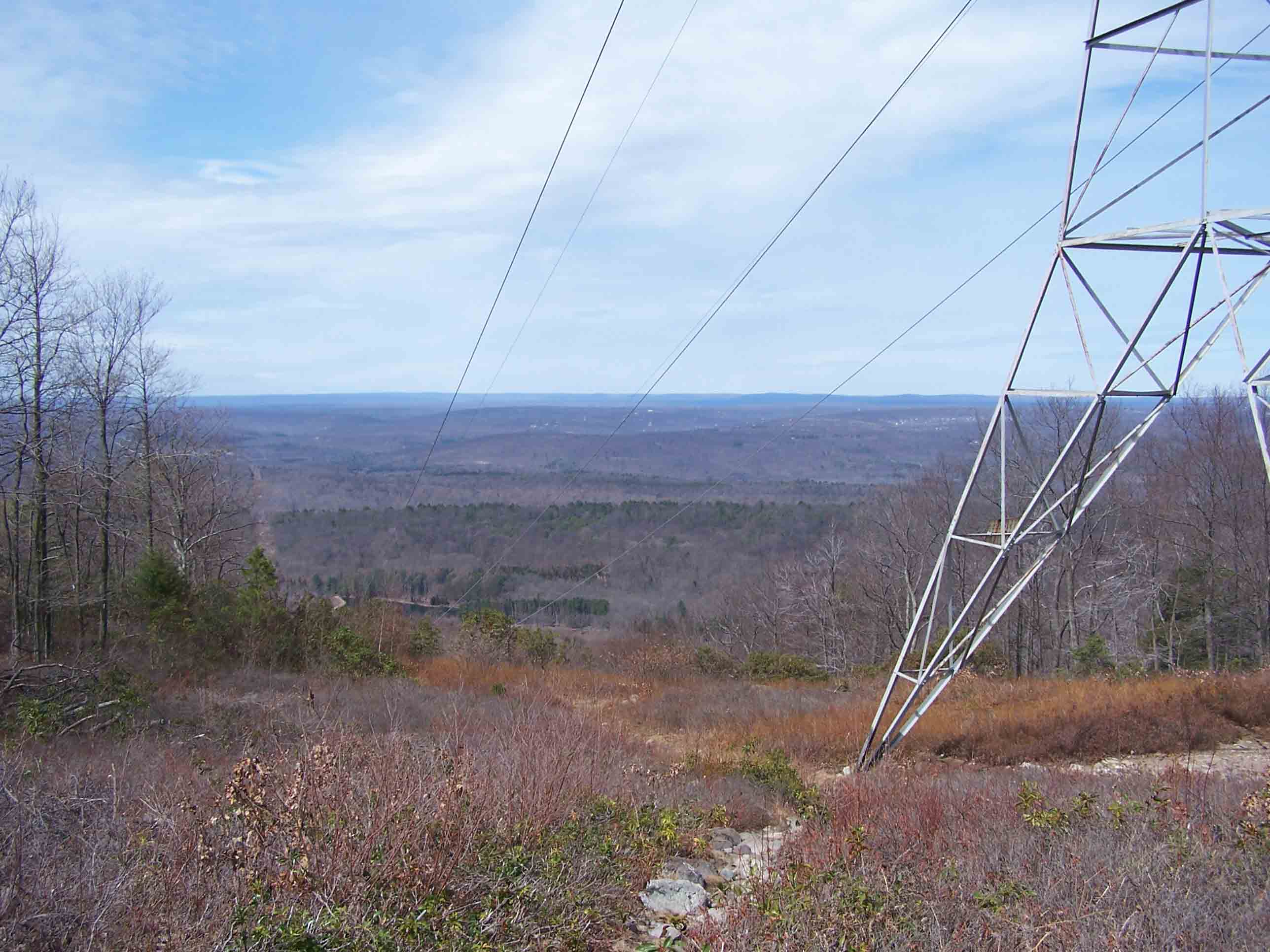
mm 13.7 Power line
Submitted by at @ rohland.org
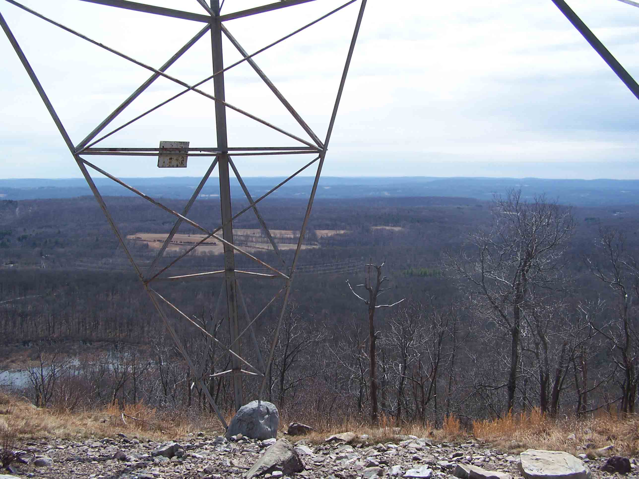
mm 13.7 Power line
Submitted by at @ rohland.org
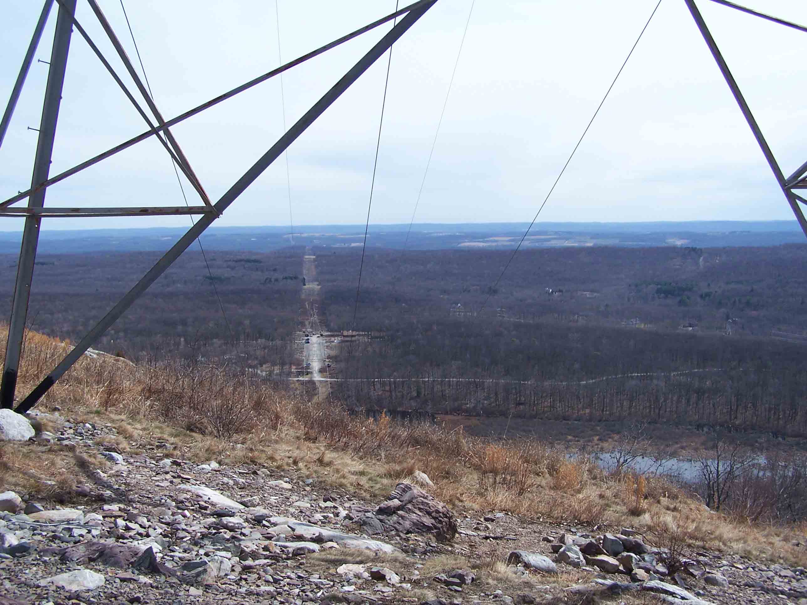
mm 13.7 Power line
Submitted by at @ rohland.org
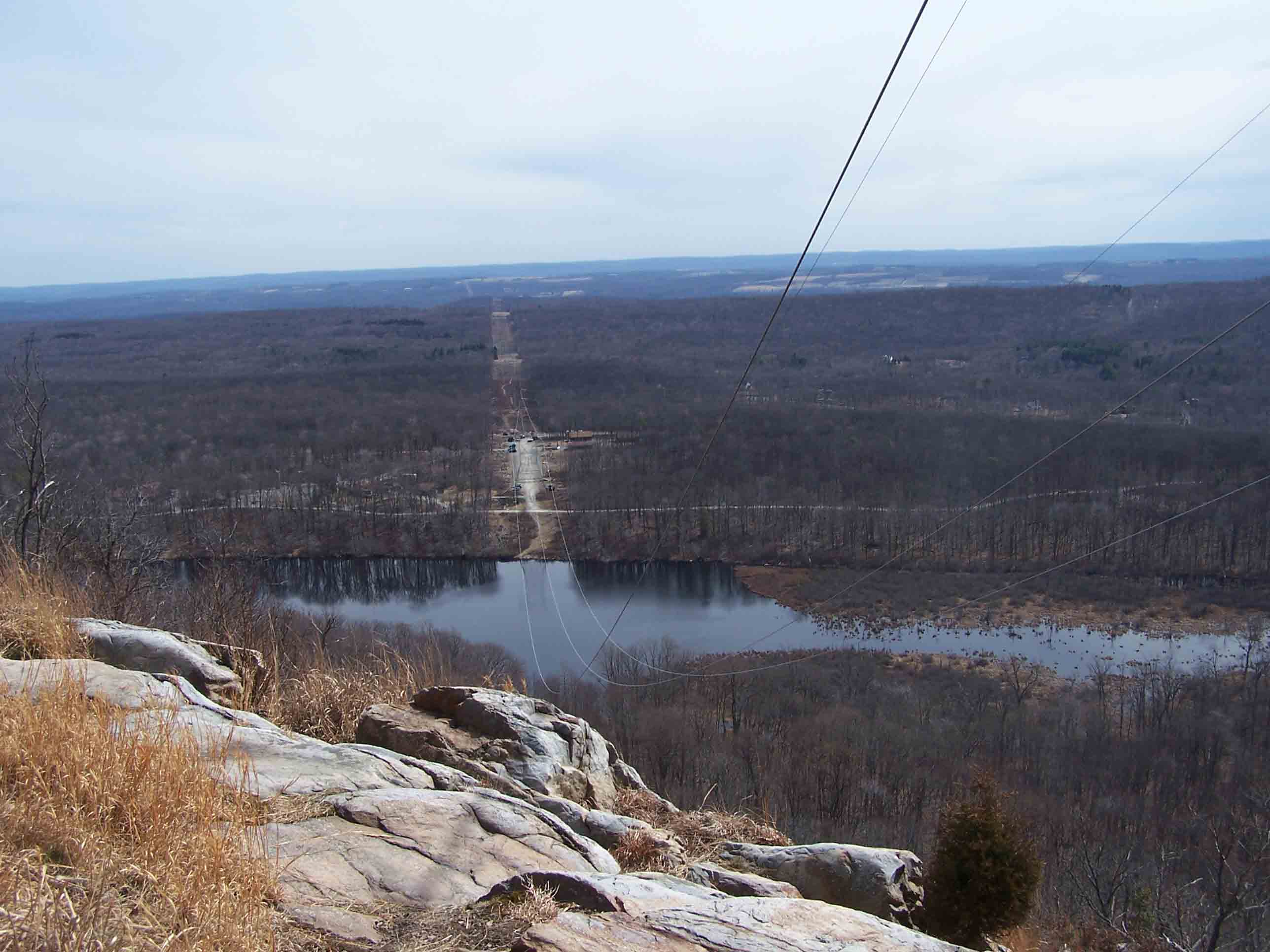
mm 13.7 Power line
Submitted by at @ rohland.org
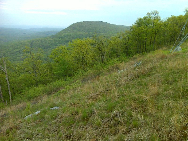
mm 13.7 View along ridge towards Catfish fire tower from power line clearing. GPS N41.0630 W74.9545
Submitted by pjwetzel @ gmail.com
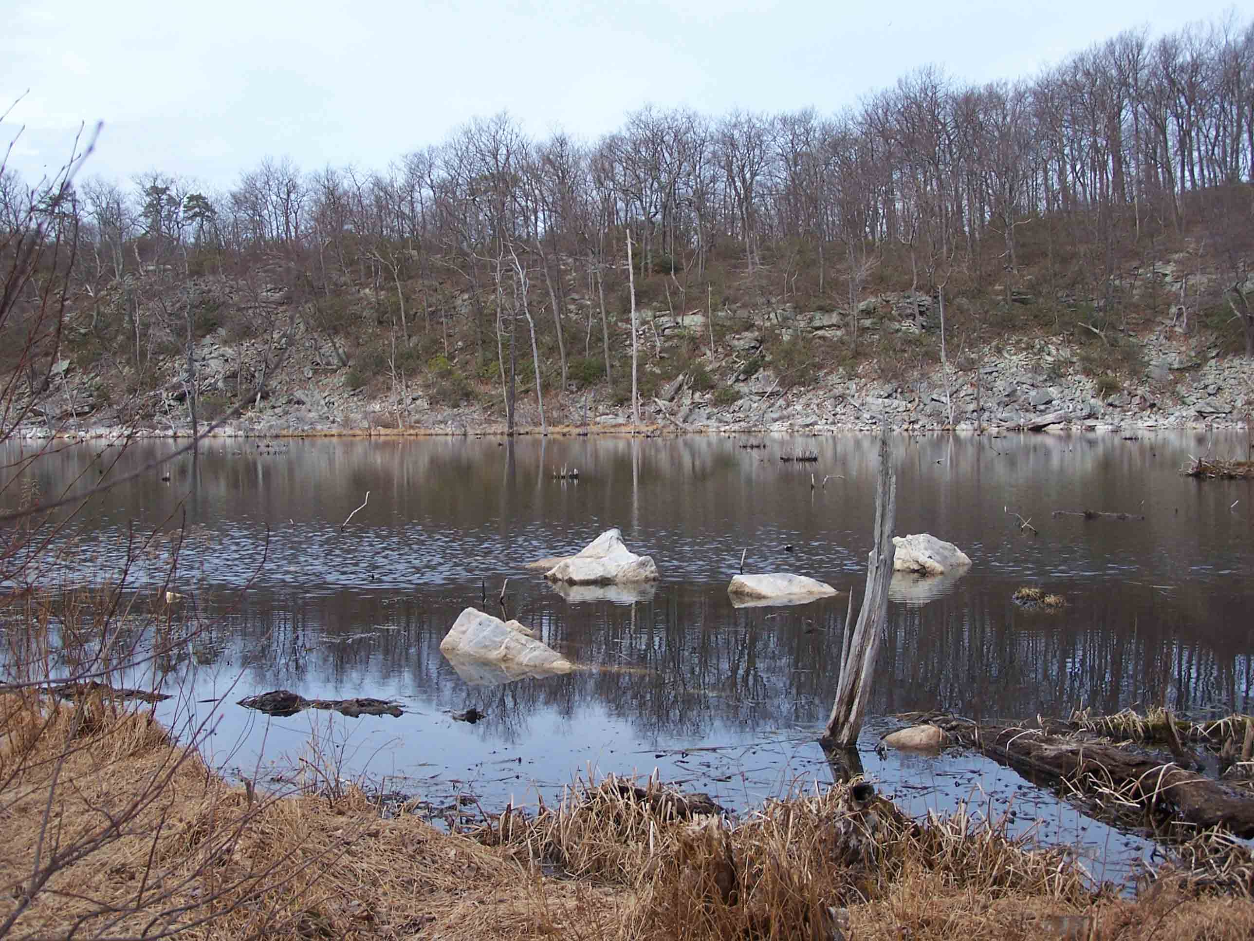
mm 14.0 - Beaver Pond
Submitted by at @ rohland.org