NJ Section 6 Pictures - Milemarker 7.7 - 8.5
Garvey Springs Trail - Sunfish Pond
Move your mouse across the pictures for more information.
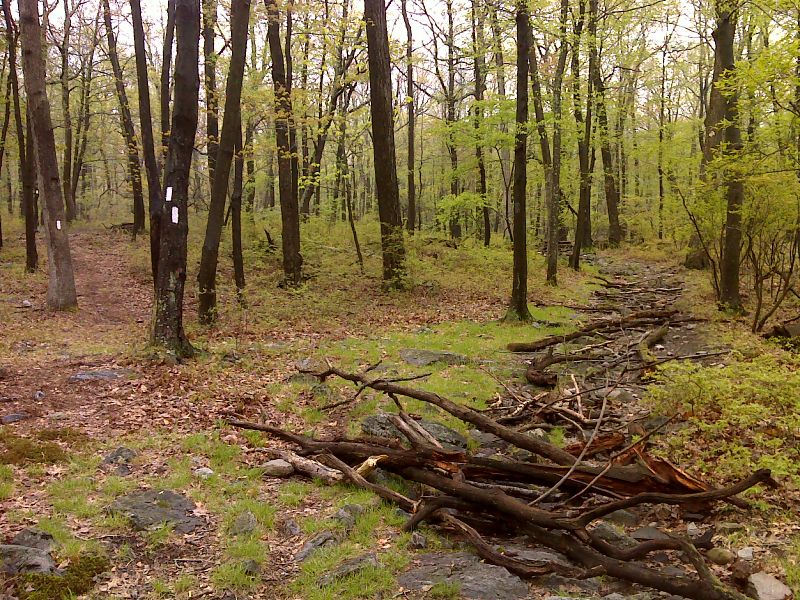
mm 7.7 South end of an 0.85 mile relocation which had just been opened in May 2012. The old trail is on the right. GPS N41.005 W75.0679
Submitted by pjwetzel @ gmail.com
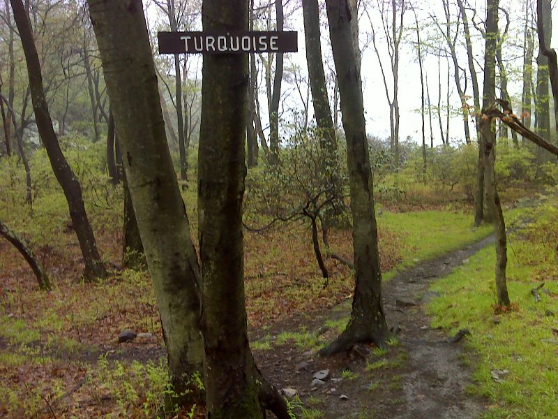
mm 7.8 Junction with the Turquoise Trail. The north end of Sunfish Pond can be seen in the background. GPS N41.0050 W75.0087
Submitted by pjwetzel @ gmail.com
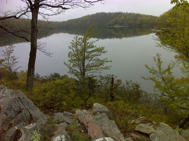
mm 7.8 View of Sunfish Pond from the Turquoise Trail about 0.1 miles from the AT. GPS N41.0040 W75.0699
Submitted by pjwetzel @ gmail.com
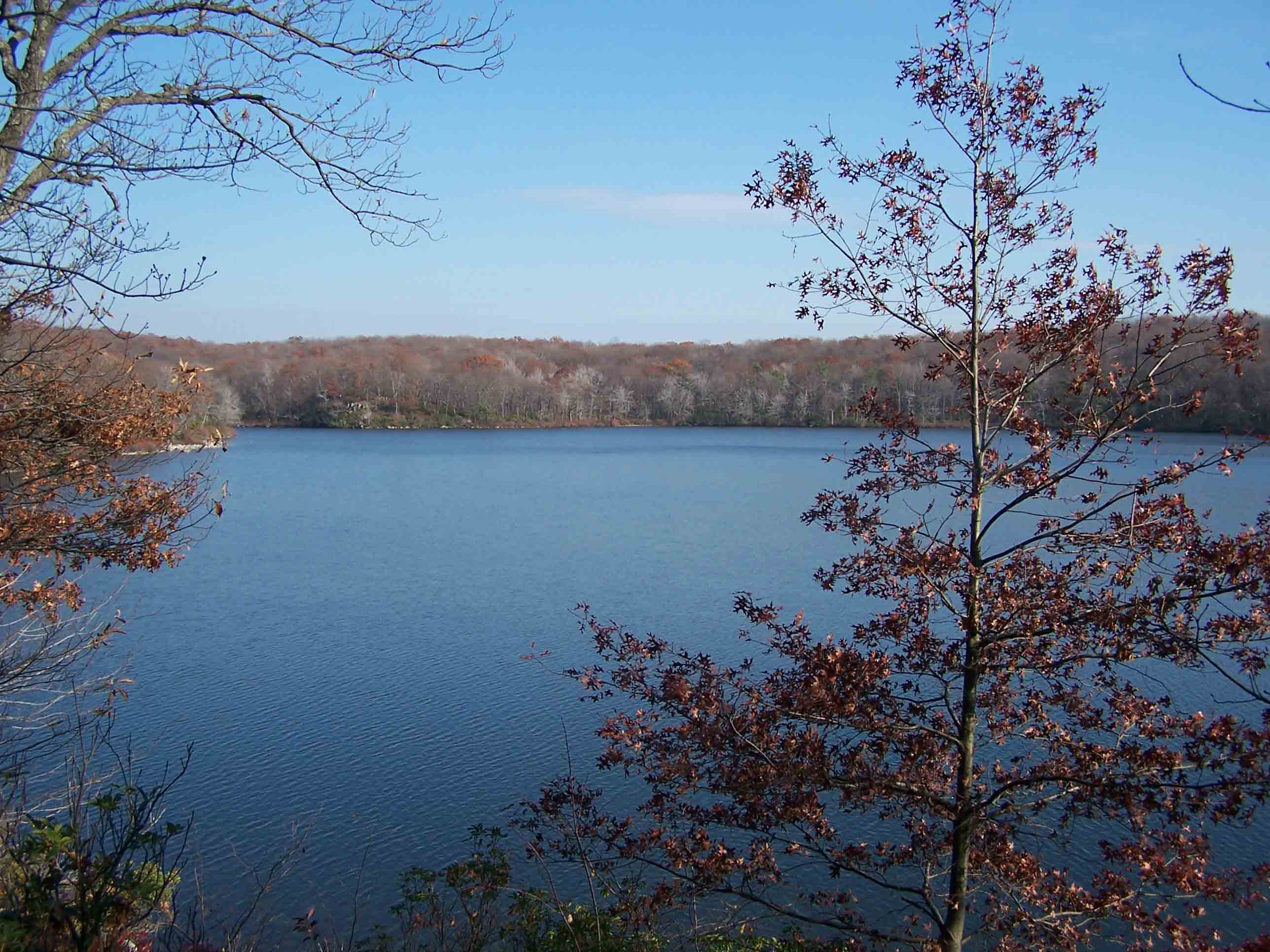
mm 7.9 - Northern end of Sunfish Pond
Submitted by at @ rohland.org
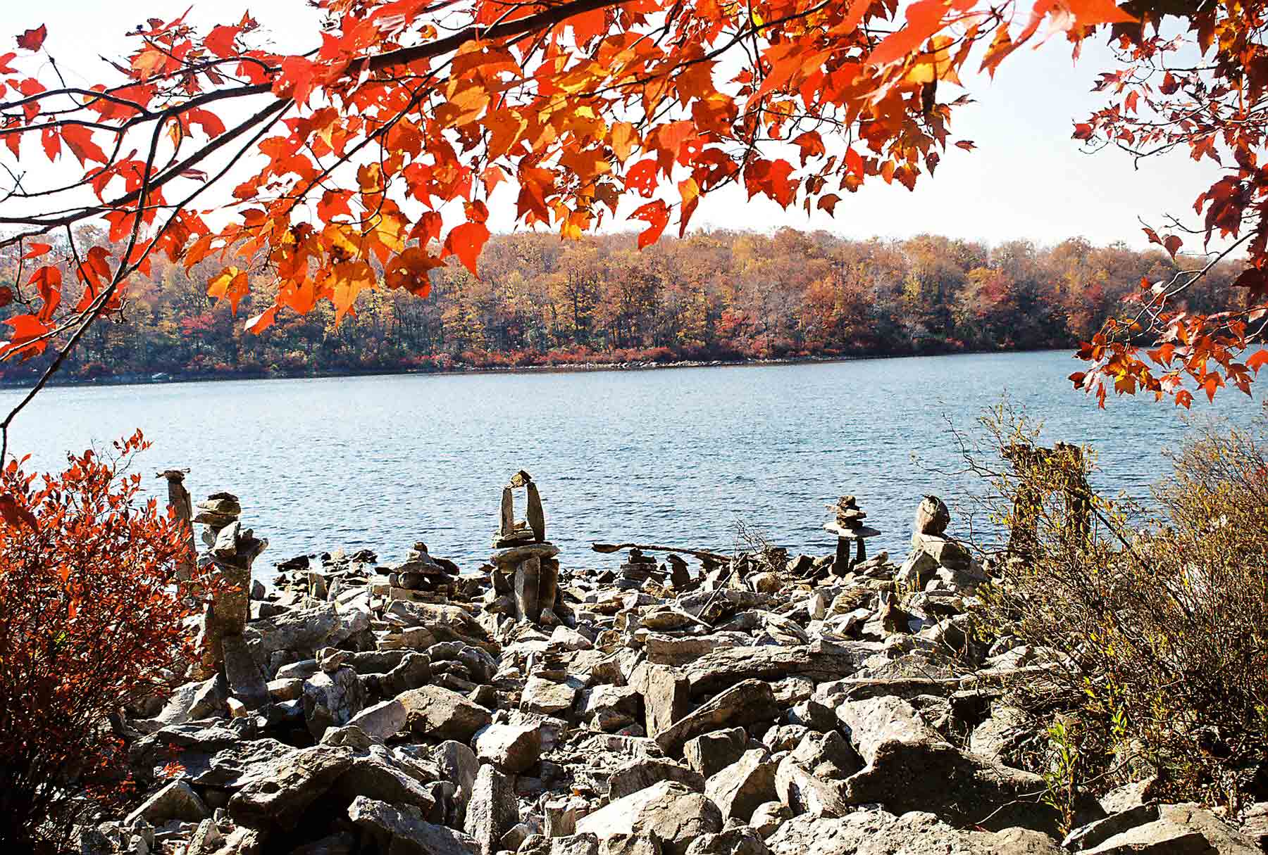
Rock Garden' on west shore of Sunfish Pond
Submitted by dlcul @ conncoll.edu
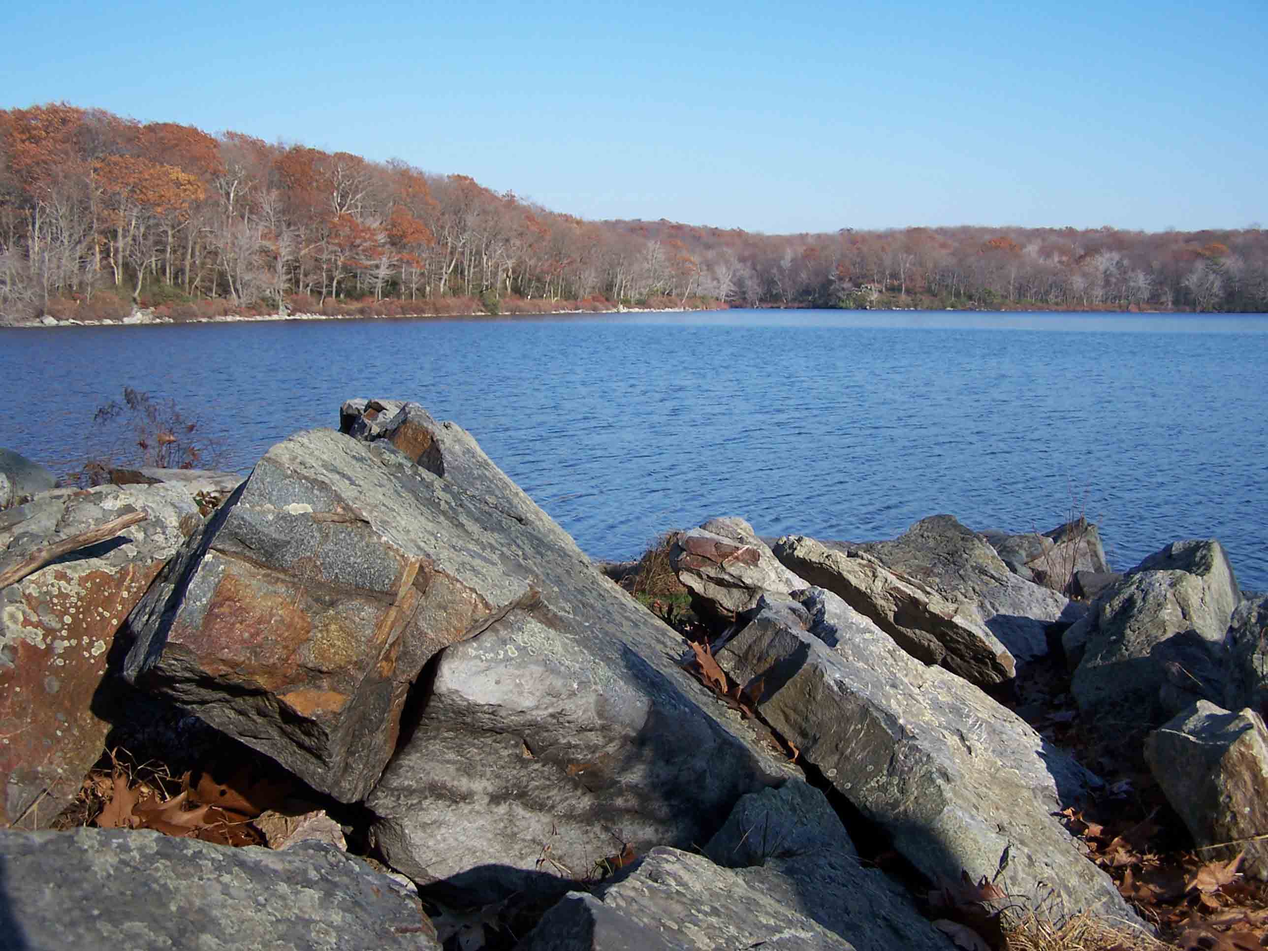
Trail around Sunfish Pond
Submitted by at @ rohland.org
Sunfish Pond as taken from the Eastern end. The AT runs along the opposite (west) side of the pond.
Submitted by lilmountaingirl @ gmail.com
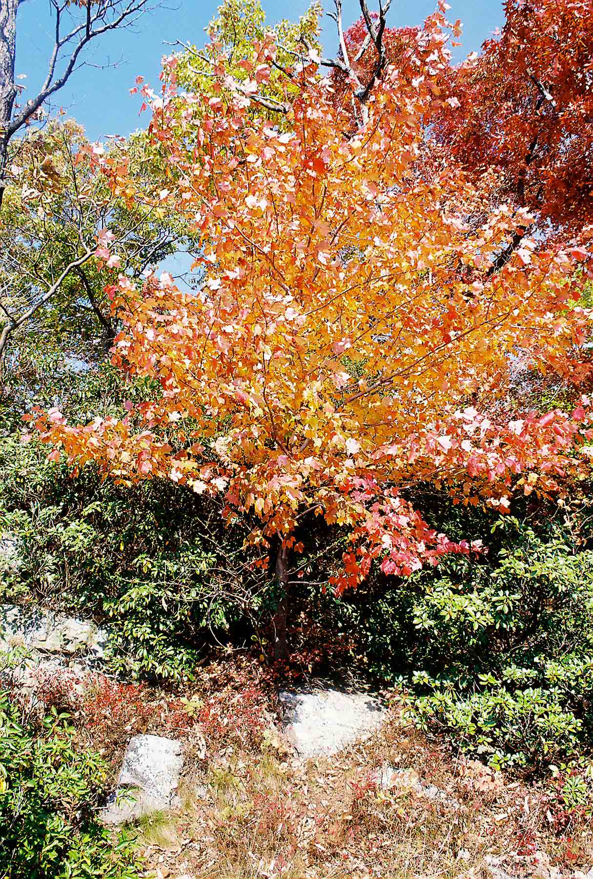
Fall Color near Sunfish Pond
Submitted by dlcul @ conncoll.edu