NY Section 11 Pictures - Milemarker 1.1 - 1.7
Fingerboard Mt. - Greenwood Mine
Move your mouse across the pictures for more information.
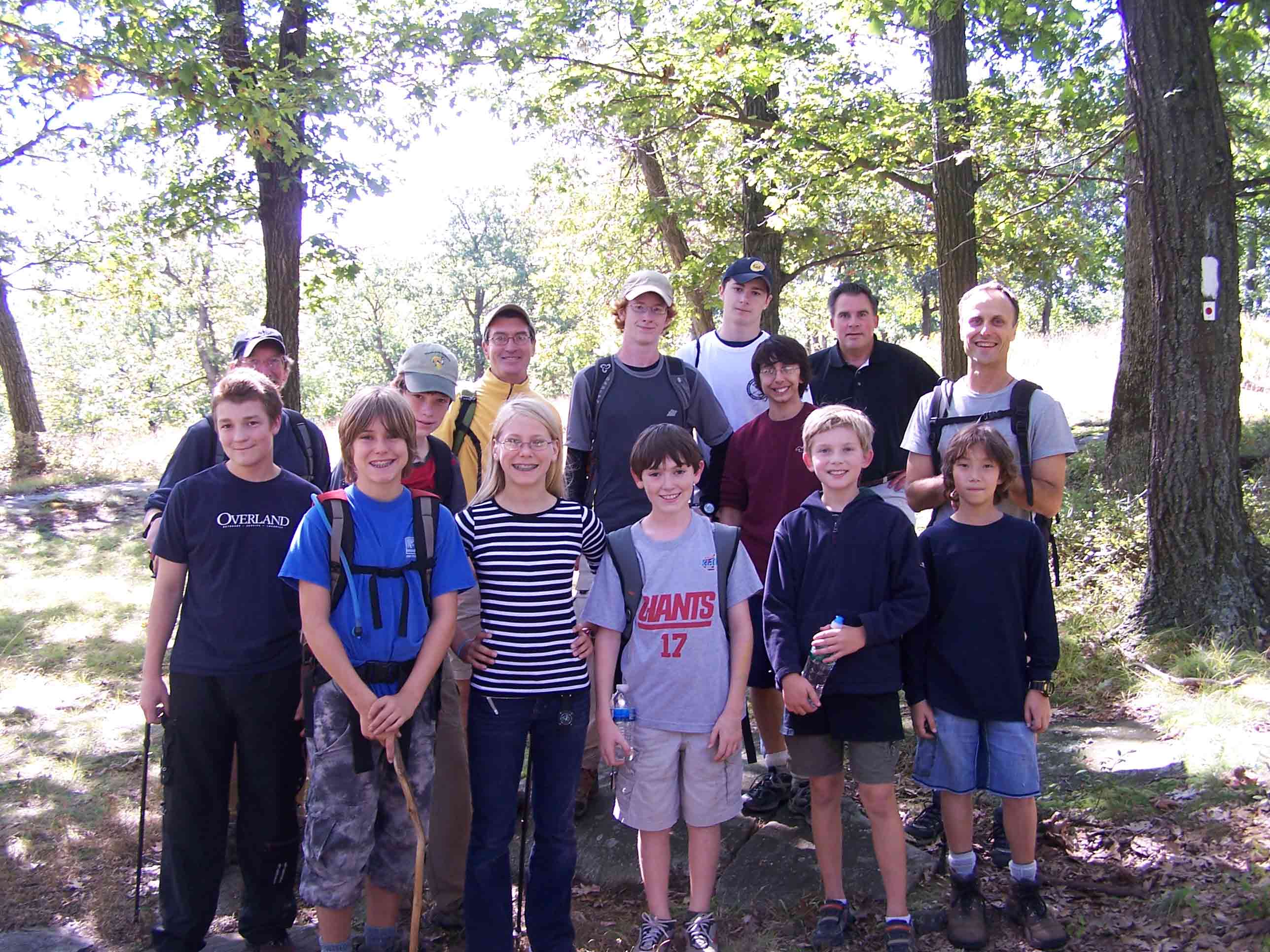
Boy Scout troop 5 from Bronxville, NY
Submitted by at @ rohland.org
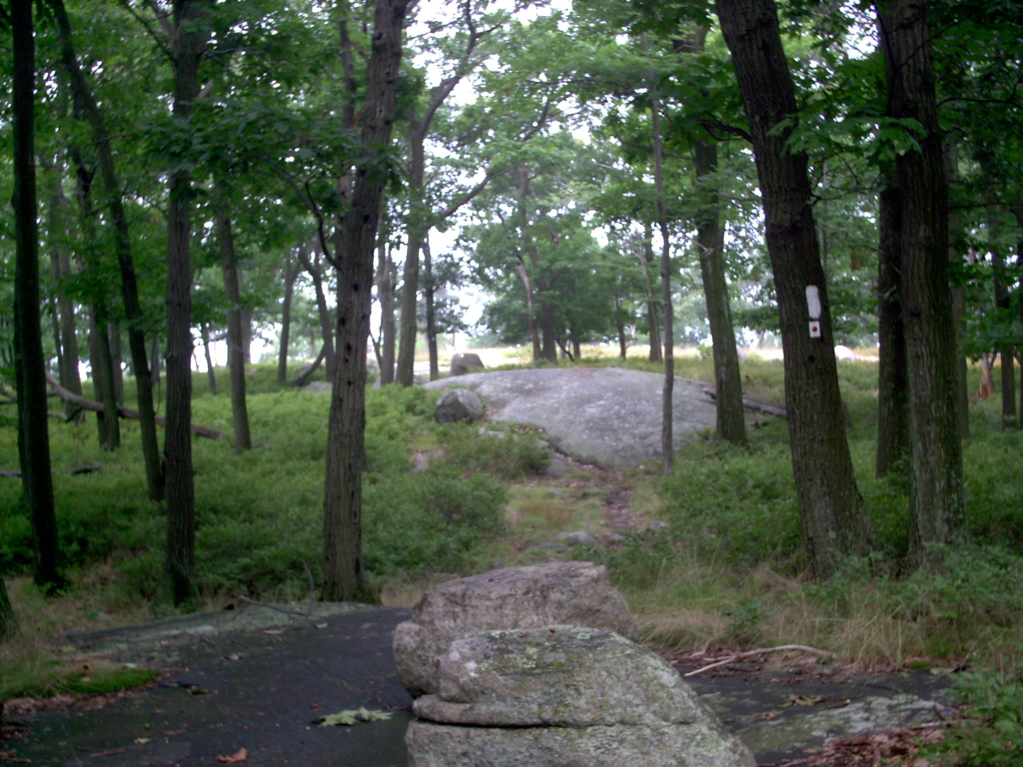
Along the top of Fingerboard Mt. between the Hurst Trail and Arden Valley Rd. The whole top is open groves and grass over large areas of slickrock.
Submitted by stewartriley @ earthlink.net
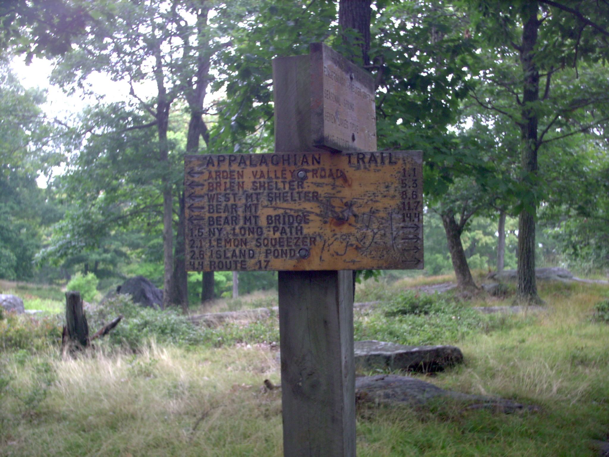
mm 1.1 - The junction sign for the Hurst Trail. Fingerboard shelter is 350' down the Hurst at the head of a lovely valley.
Submitted by stewartriley @ earthlink.net
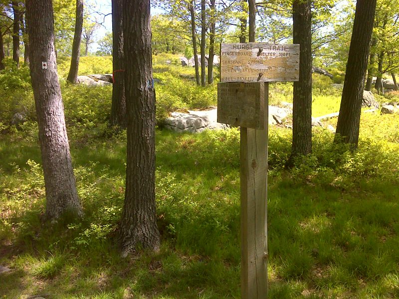
mm 1.1 Junction with the Hurst Trail which bleeds to Fingerboard Shelter. GPS N41.2639 W74.1047
Submitted by pjwetzel @ gmail.com
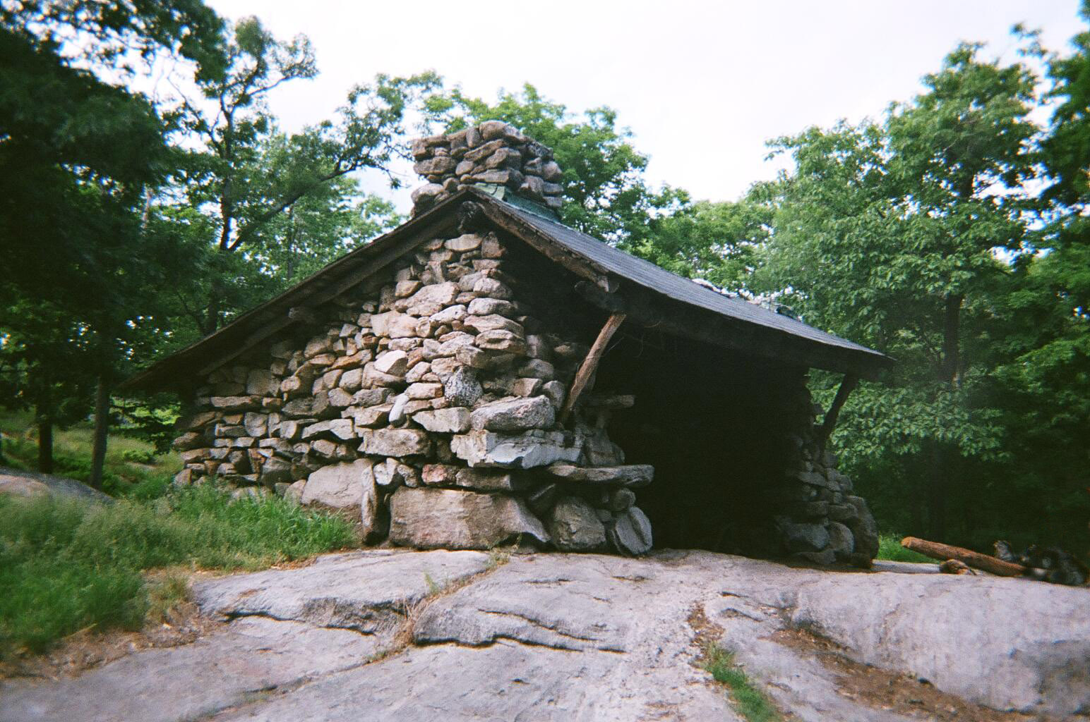
mm 1.1 - Fingerboard Shelter. The shelter is only 350 feet off the AT. Capacity is about 8 people. Water is available from Lake Tiorati, 0.5 mile
to the east on blue blazed Hurst Trail, or from a water faucet, summer only, at the Tiorati Circle, 0.3 mile east
of A.T. crossing of Arden Valley Road, 1.4 miles north of shelter. There is no fee. The shelter has two fireplaces,
but finding firewood will require some walking. Fingerboard Shelter's stone structure was built in 1928.
County-State, Orange, NY. Elevation, 1300 feet Maintained by, New York-New Jersey Trail Conference.
Submitted by froto
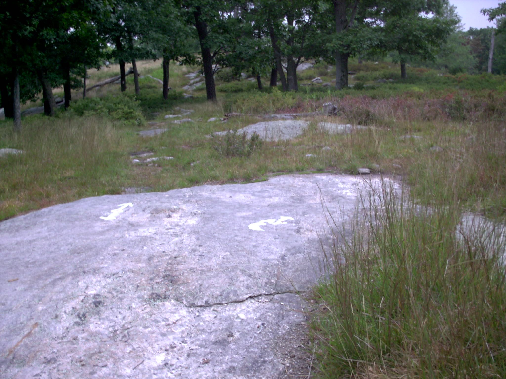
mm 1.2 - The junction of the Ramapo-Dunderberg Trail with the AT on a slickrock on top of Fingerboard Mt., about .1 miles south of Fingerboard shelter.
Submitted by stewartriley @ earthlink.net
mm 1.2 View to the west from Fingerboard Mountain near the junction with the Ramapo-Dunderberg Trail.
Submitted by dlcul @ conncoll.edu
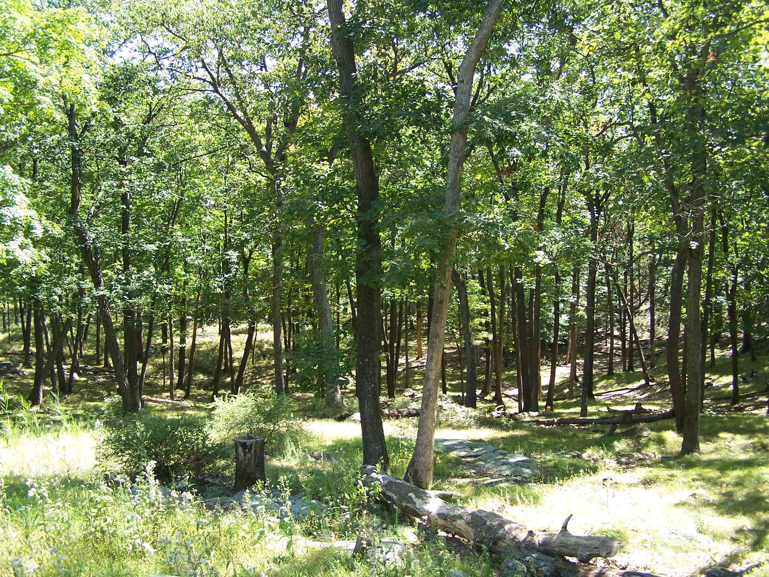
Trail picture north of Greenwood Mine
Submitted by at @ rohland.org