NY Section 12 Pictures - Milemarker 10.2 - 10.7
South of Cat Rocks - Eastern Pinnacles
Move your mouse across the pictures for more information.
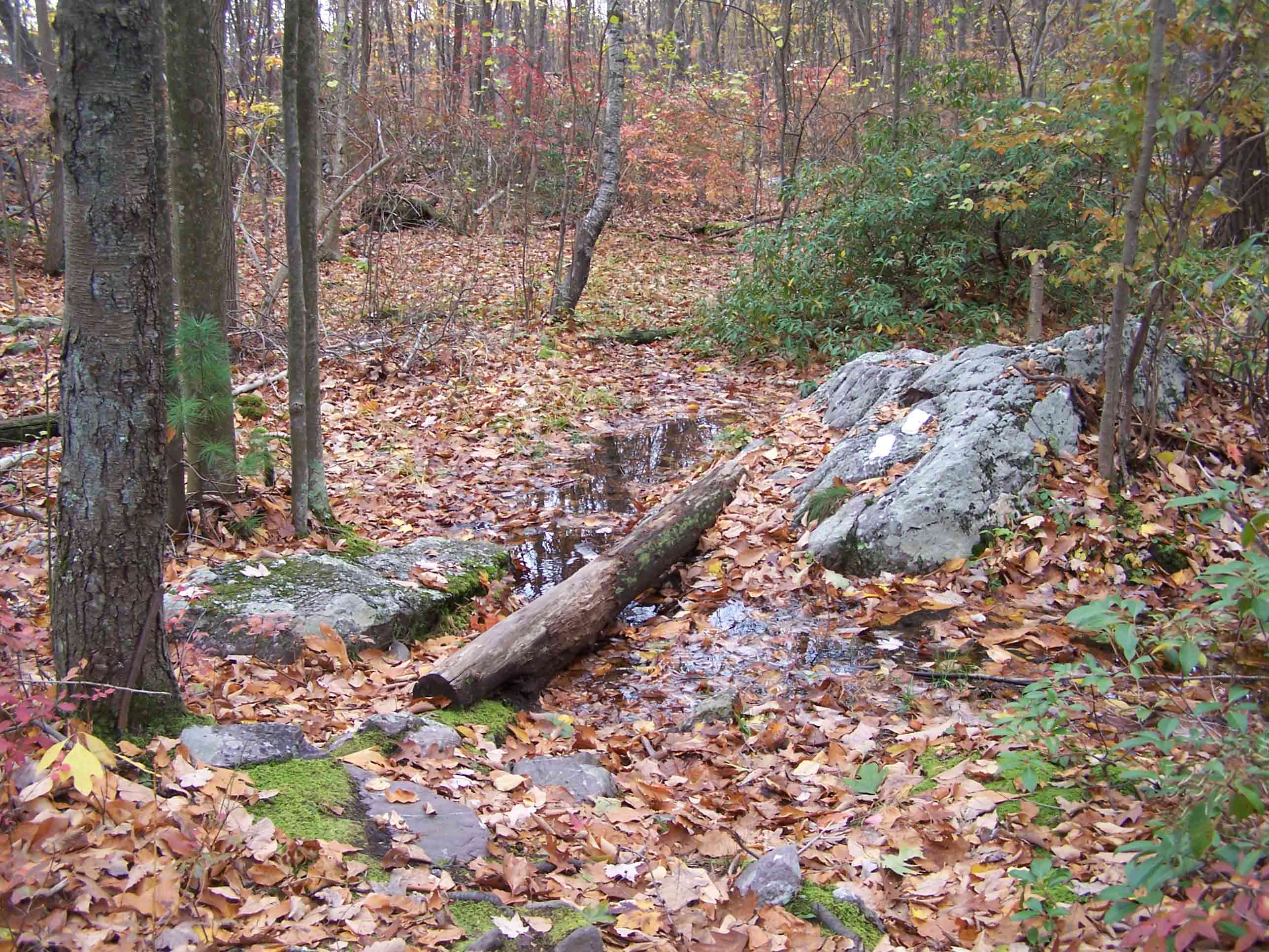
Wet trail area between 10.2 and 10.4
Submitted by at @ rohland.org

mm 10.4 - Trail
Submitted by at @ rohland.org
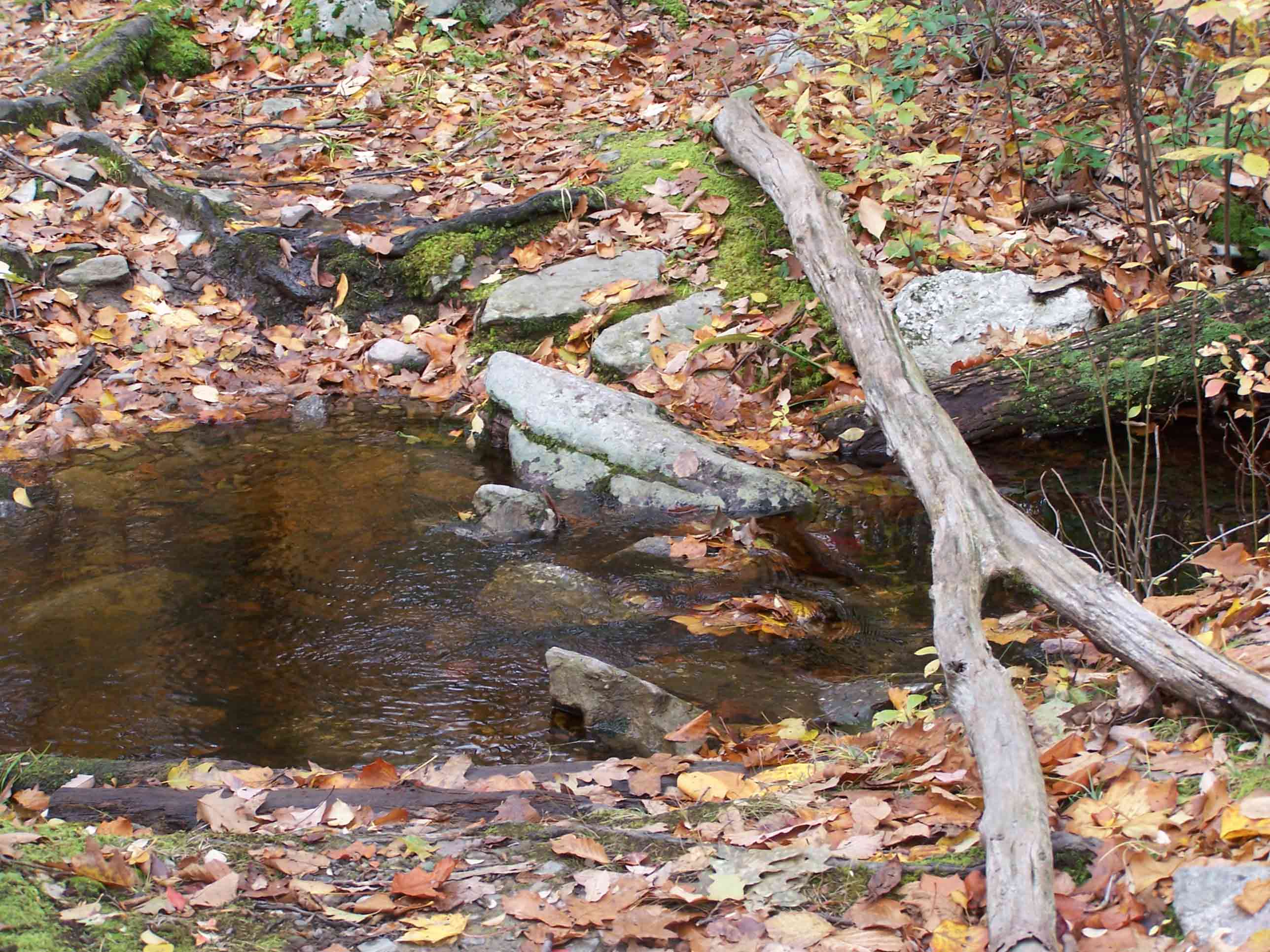
mm 10.4 - Brook crossing
Submitted by at @ rohland.org
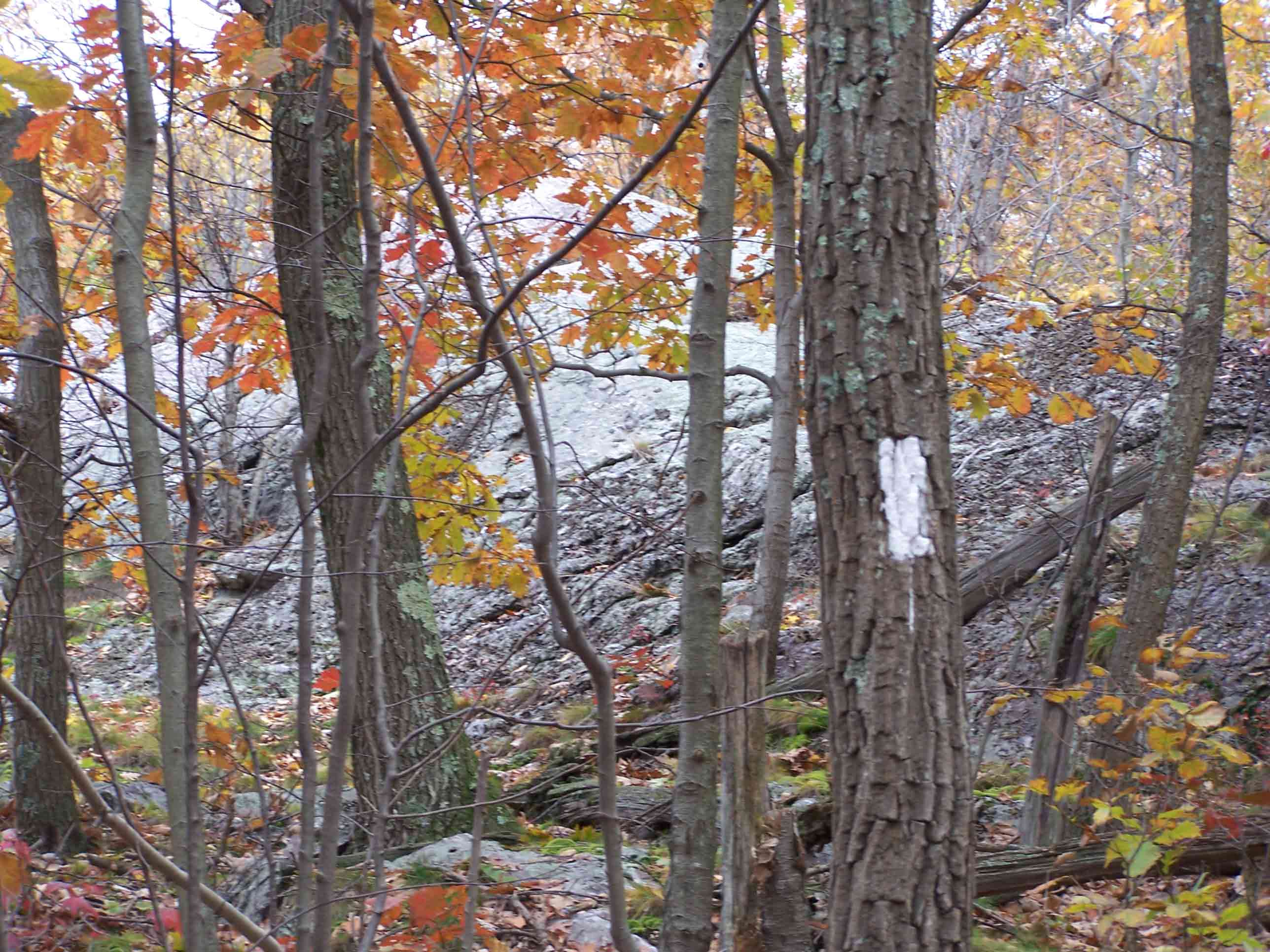
mm 10.7 - Eastern Pinnacles
Submitted by at @ rohland.org
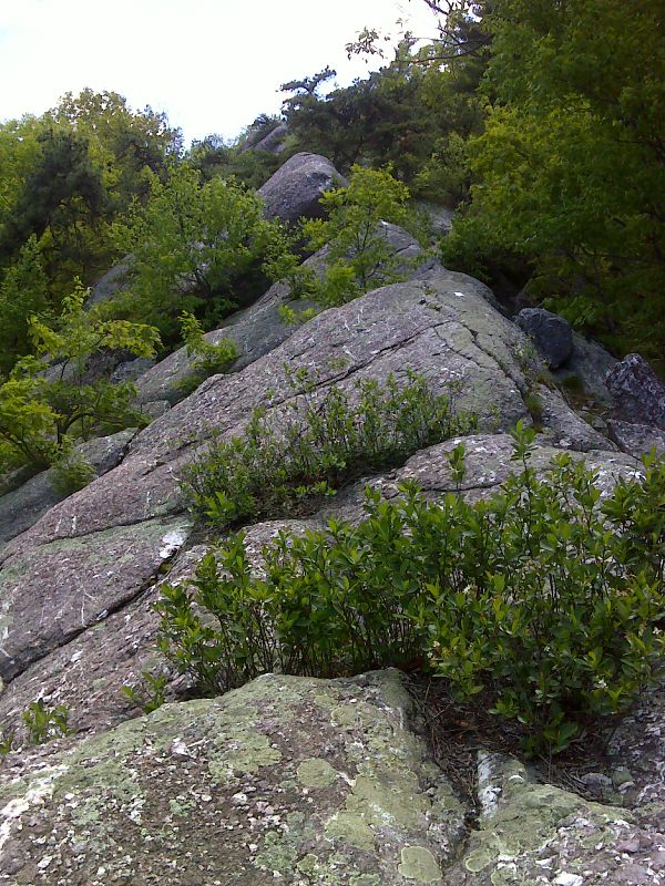
mm 10.7 Eastern Pinnacles. GPS N41.2601 W74.2732
Submitted by pjwetzel @ gmail.com

mm 10.7 View north along the ridge from the Eastern Pinnacles. Cat Rocks are visible. GPS N41.2593 W74.2736
Submitted by pjwetzel @ gmail.com

mm 10.7 - Merged pictures from the top of the Eastern Pinnacles
Submitted by at @ rohland.org

mm 10.7 Junction with the short blue-blazed trail which avoids the climb to the Eastern Pinnacles. GPS N41.2602 W74.2728
Submitted by pjwetzel @ gmail.com