NY Section 12 Pictures - Milemarker 4.0 - 4.9
Buchanan Mountain - Pond near West Mombasha Road
Move your mouse across the pictures for more information.
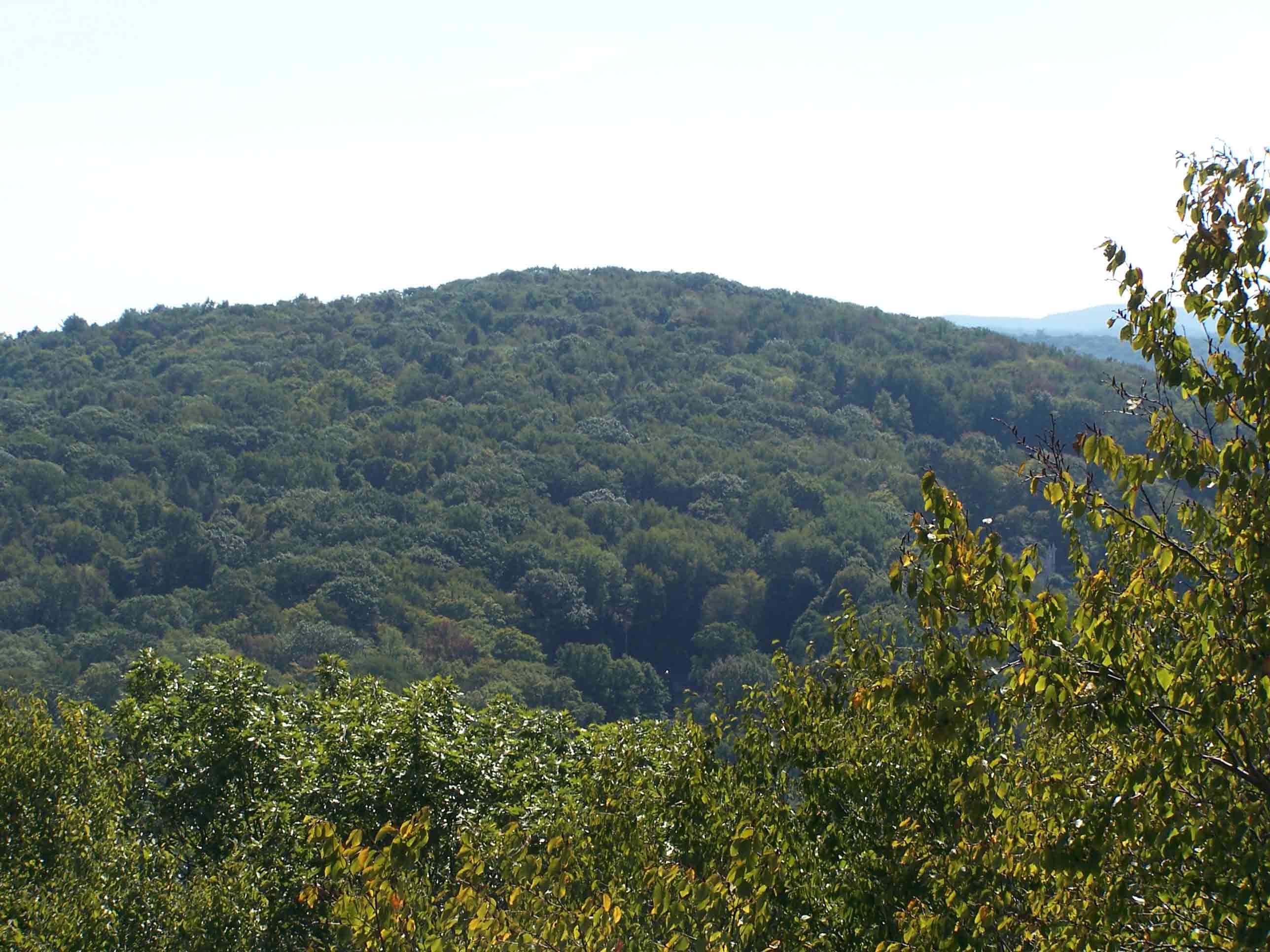
mm 4.0 - View from Buchanan Mountain elevation 1,142 feet
Submitted by at @ rohland.org
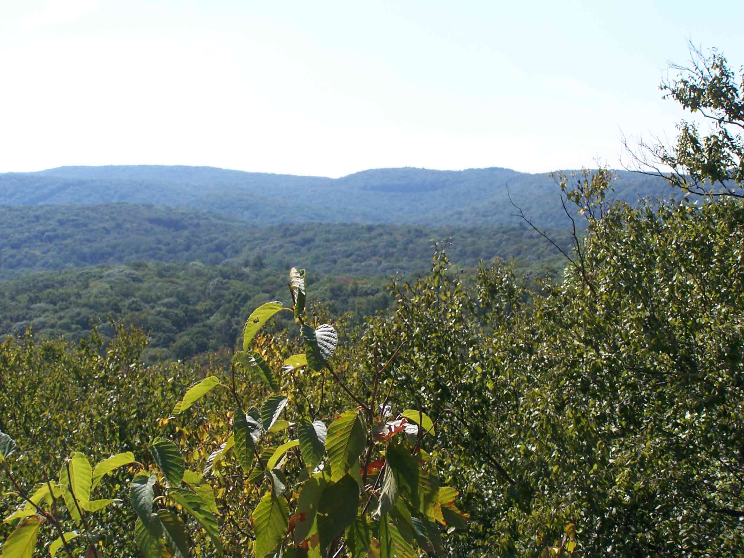
mm 4.0 - View from Buchanan Mountain elevation 1,142 feet
Submitted by at @ rohland.org
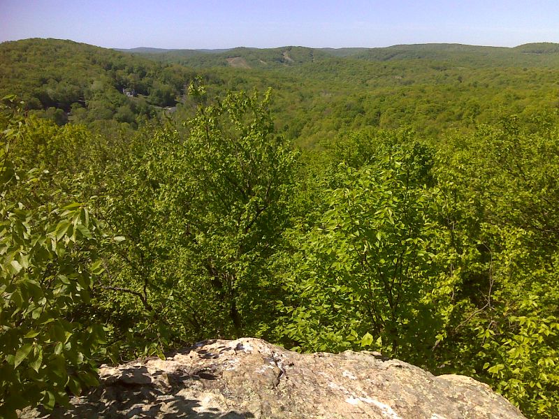
mm 4.0 View west from Buchanan Mountain taken on a clearer day than the previous photos. GPS N41.2645 W74.2054
Submitted by pjwetzel @ gmail.com
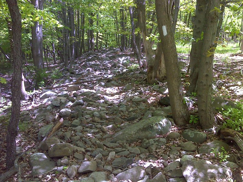
mm 4.9 Leaving West Mombasha Road, the northbound AT traverses the rubble of a stone fence. GPS N47.2701 W74.2146
Submitted by pjwetzel @ gmail.com
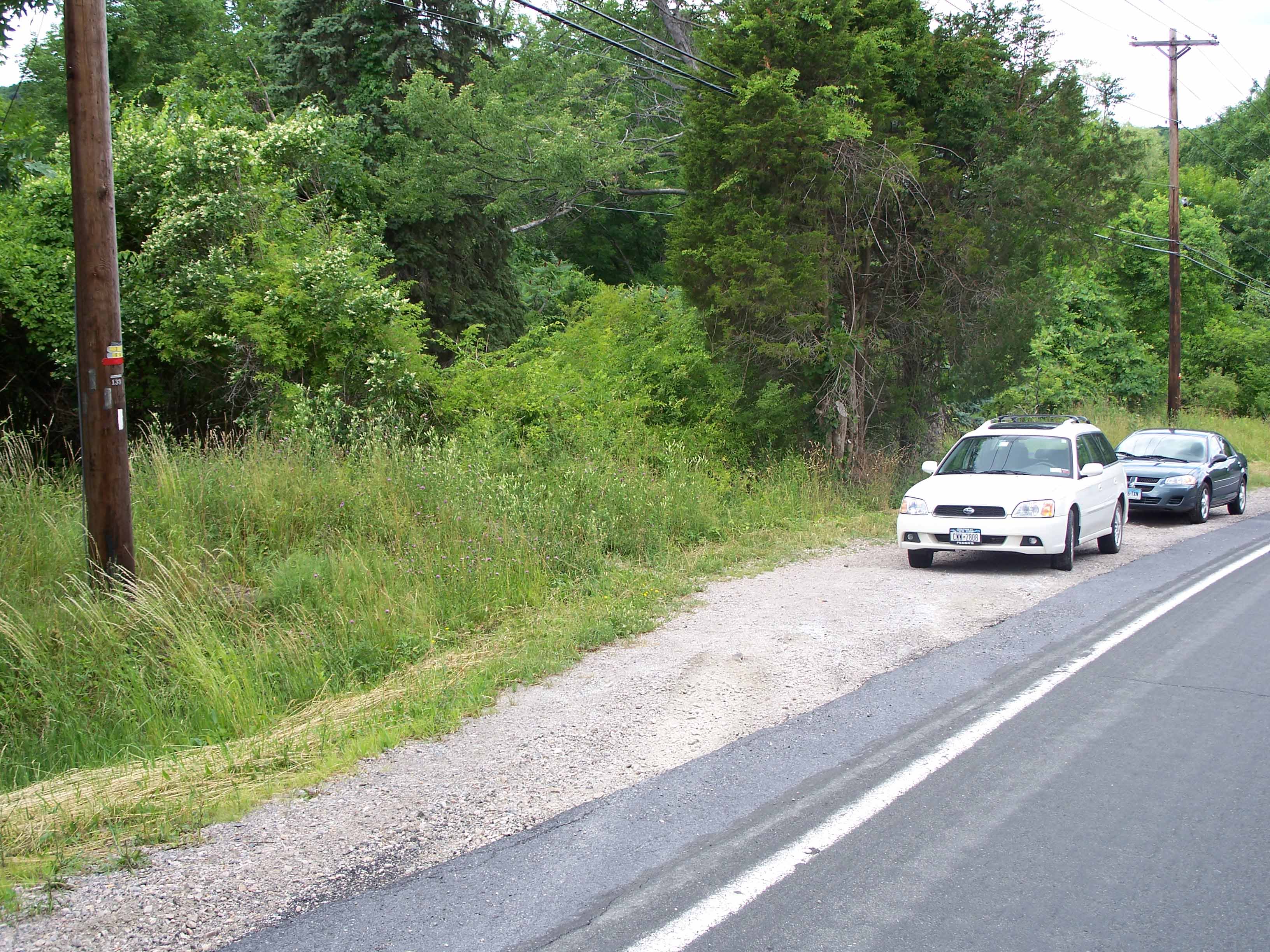
mm 4.9 - The western side of West Mombasha Road, a wide shoulder that can accommodate at least 4 cars.
Limited parking but overnight parking is not permitted.
Submitted by froto
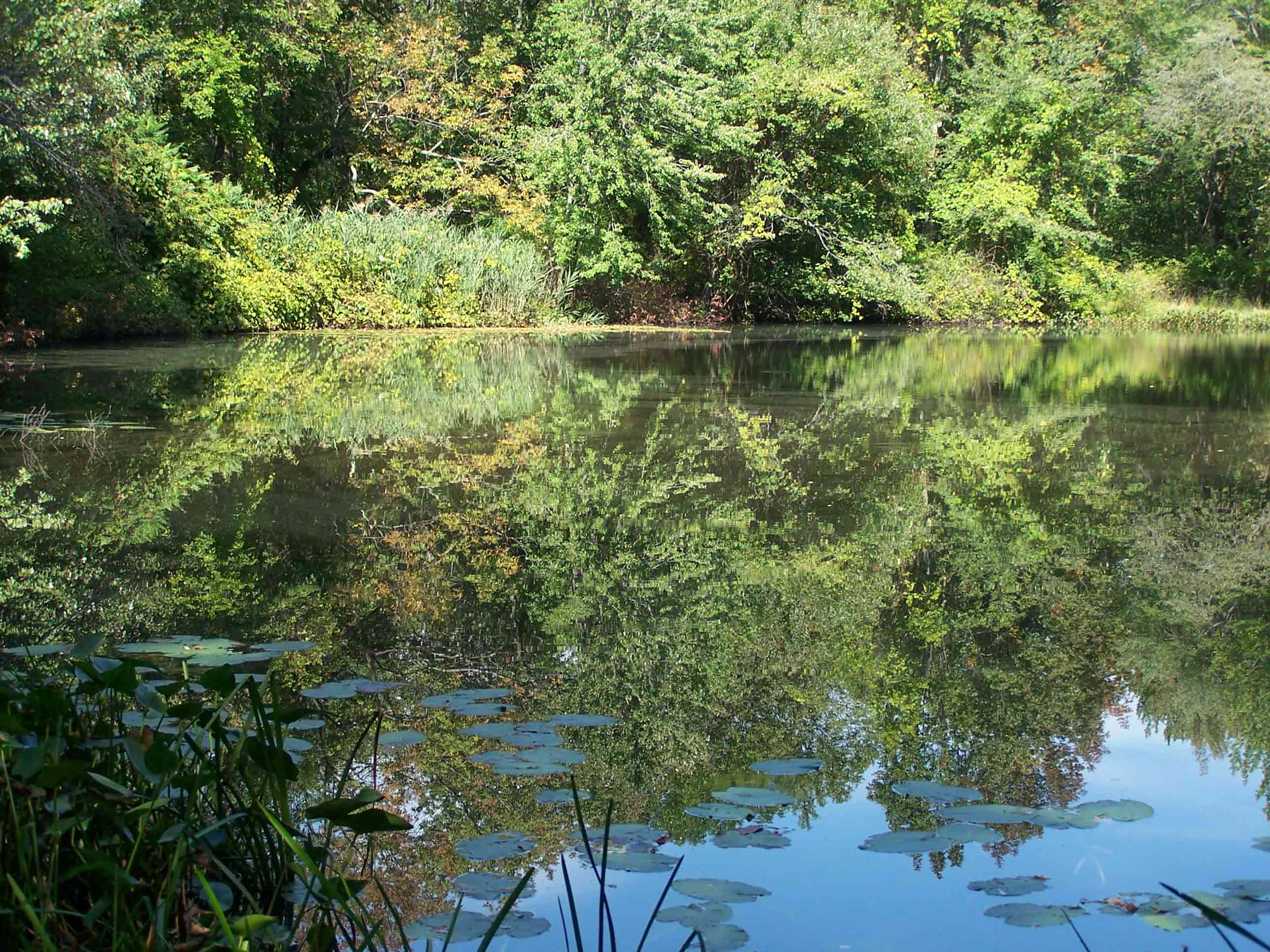
mm 4.8 - Kloiber's Pond
Submitted by at @ rohland.org
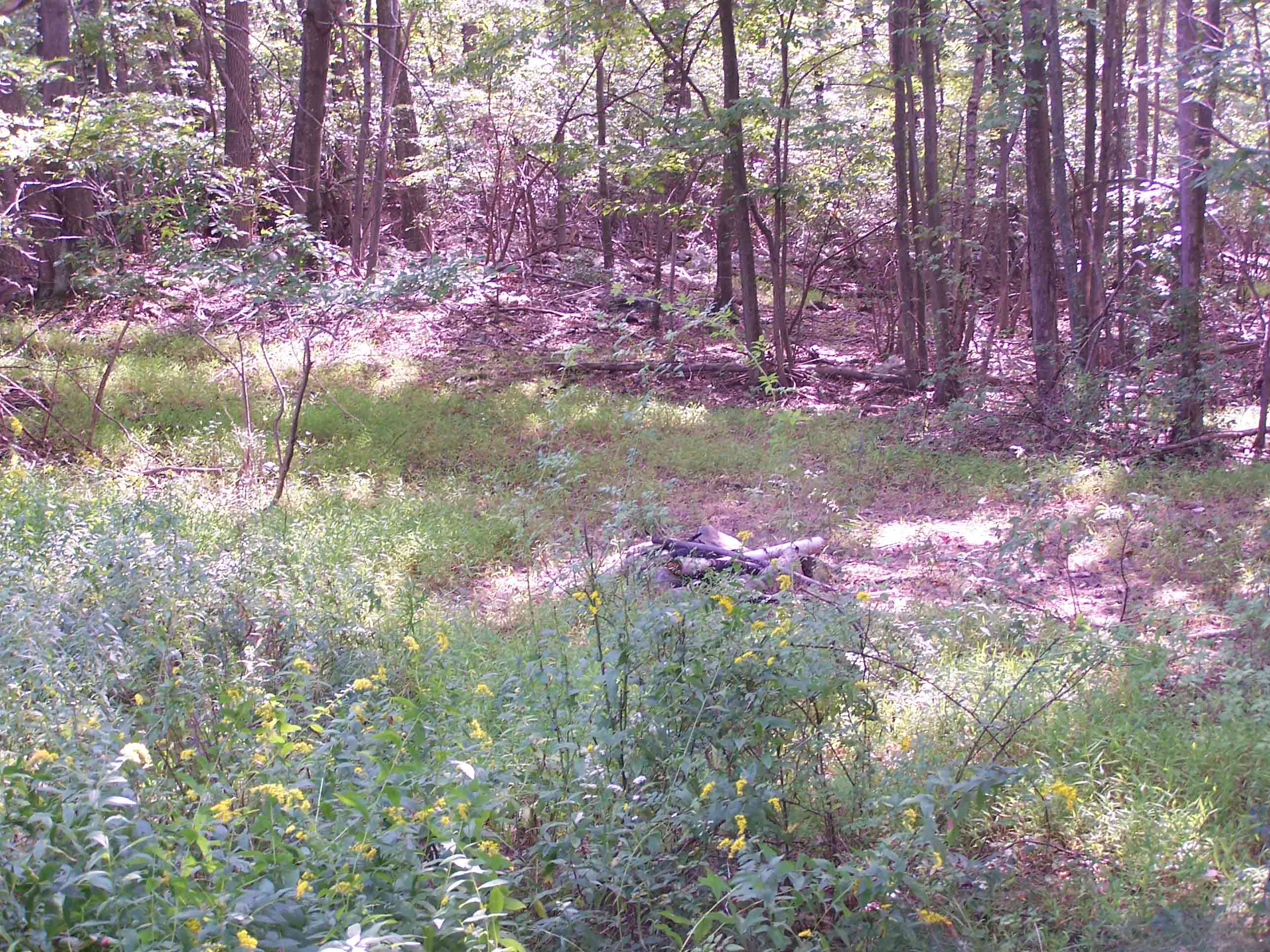
mm 4.8 - Campsite at Kloiber's Pond
Submitted by at @ rohland.org
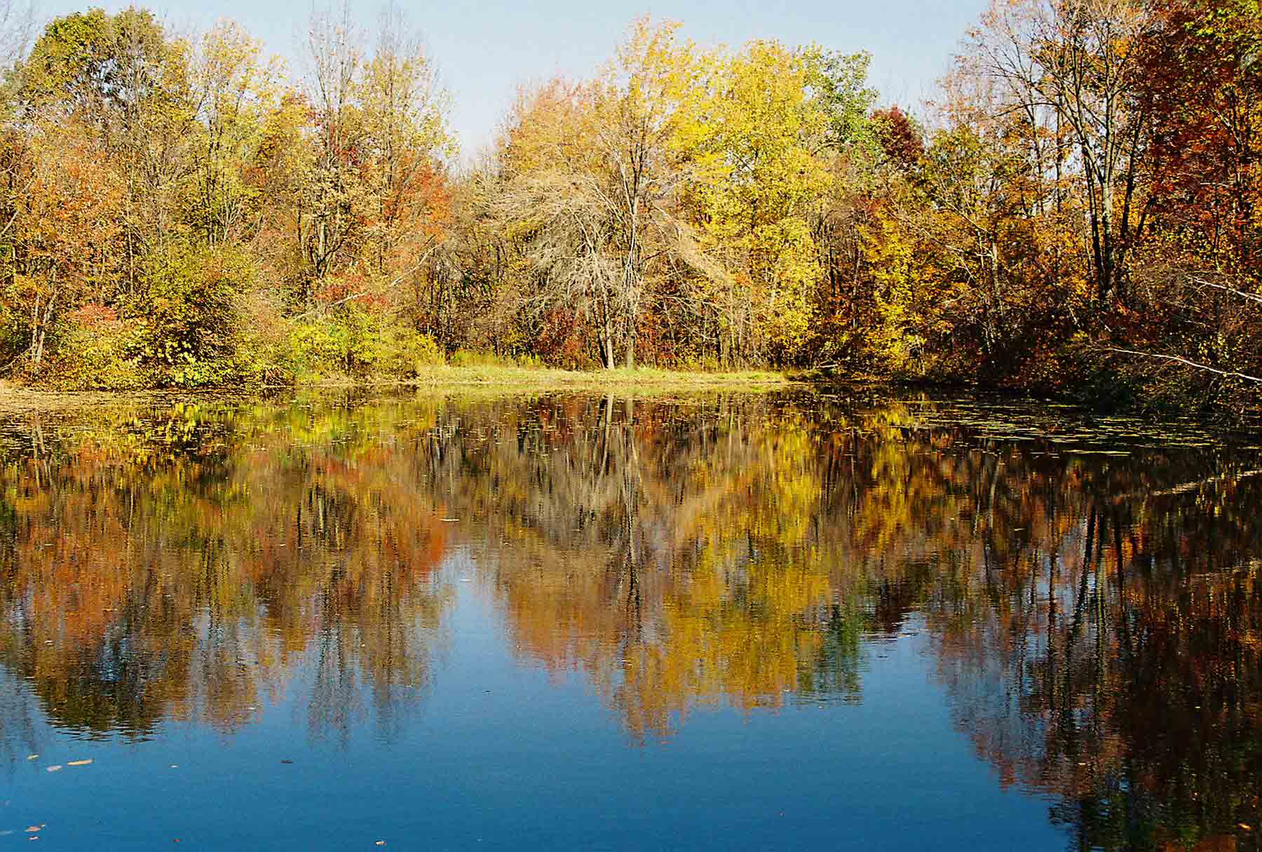
mm 4.9 - Pond near West Mombasha Road
Submitted by dlcul @ conncoll.edu