NY Section 12 Pictures - Milemarker 4.9 - 6.9
East of Mombasha High Point - Allis Trail
Move your mouse across the pictures for more information.
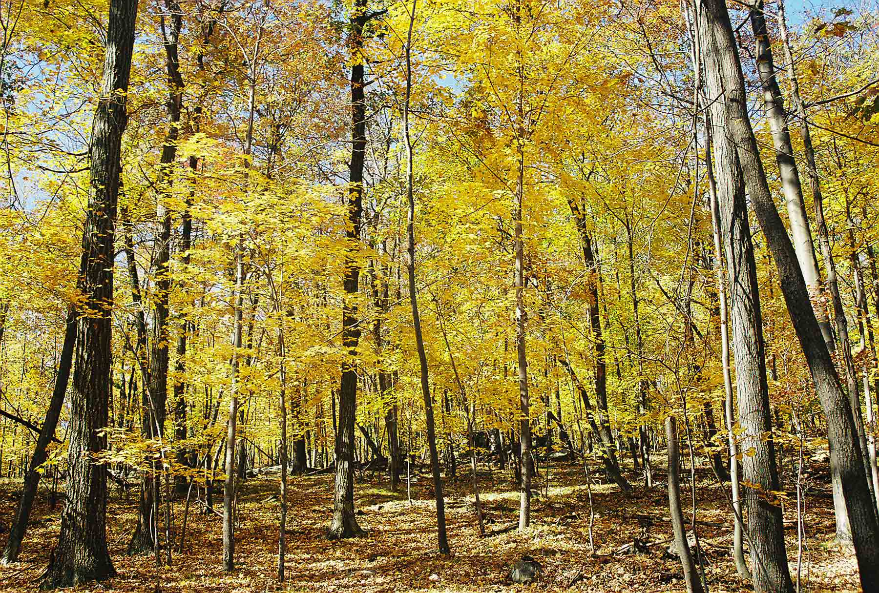
Woods west of West Mombasha Road
Submitted by dlcul @ conncoll.edu
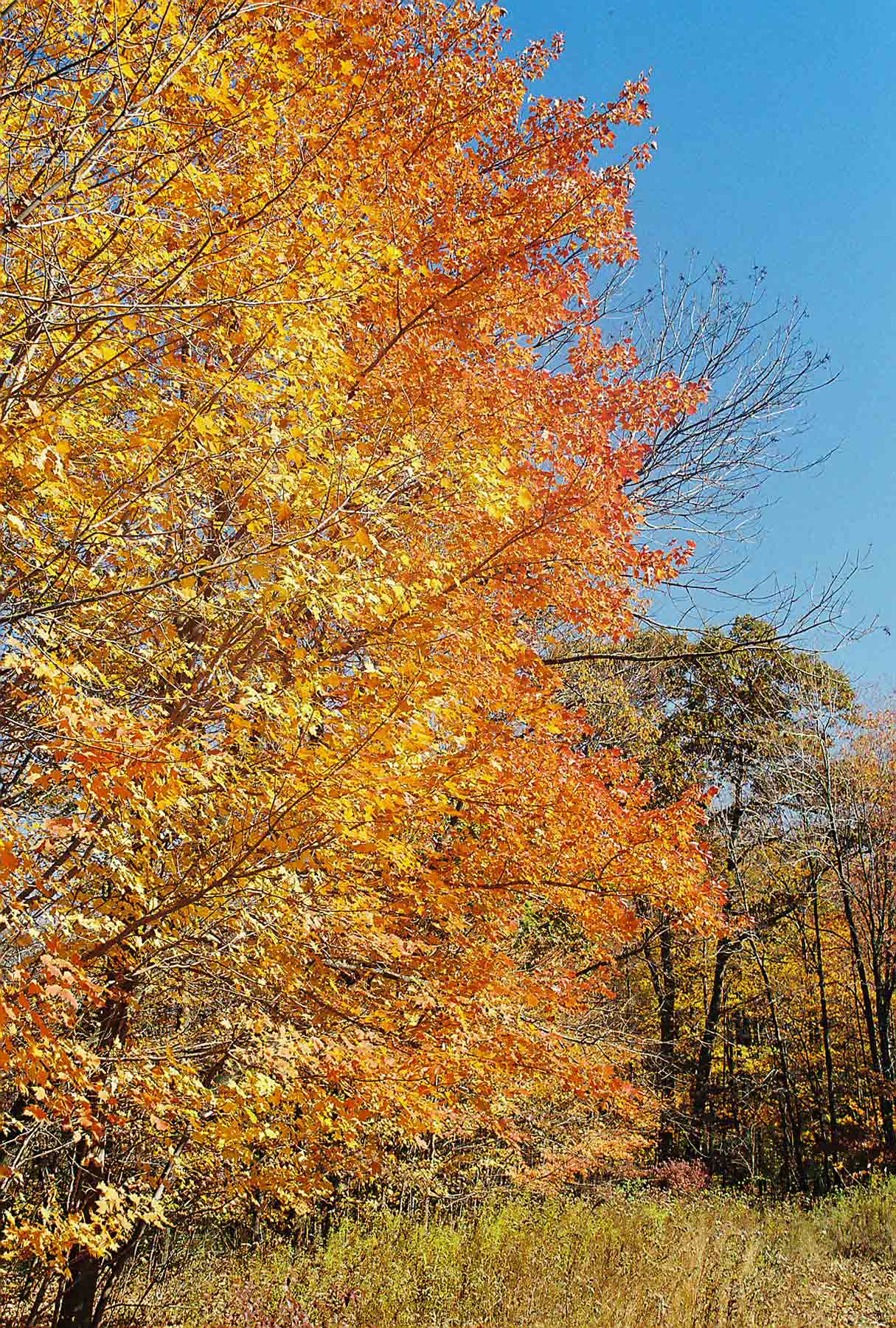
Fall color on AT near Mombasha High Point
Submitted by dlcul @ conncoll.edu
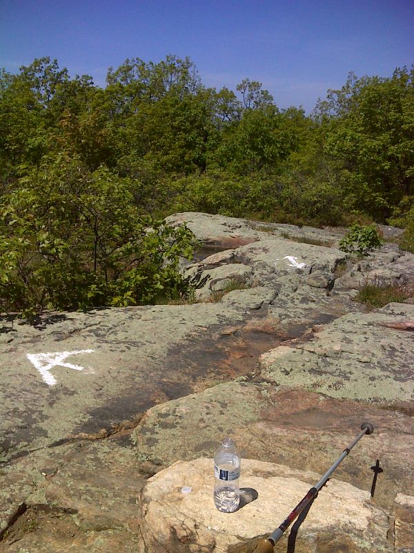
mm 6.1 Summit of Mombasha High Point. GPS N47.2750 W74.2247
Submitted by pjwetzel @ gmail.com
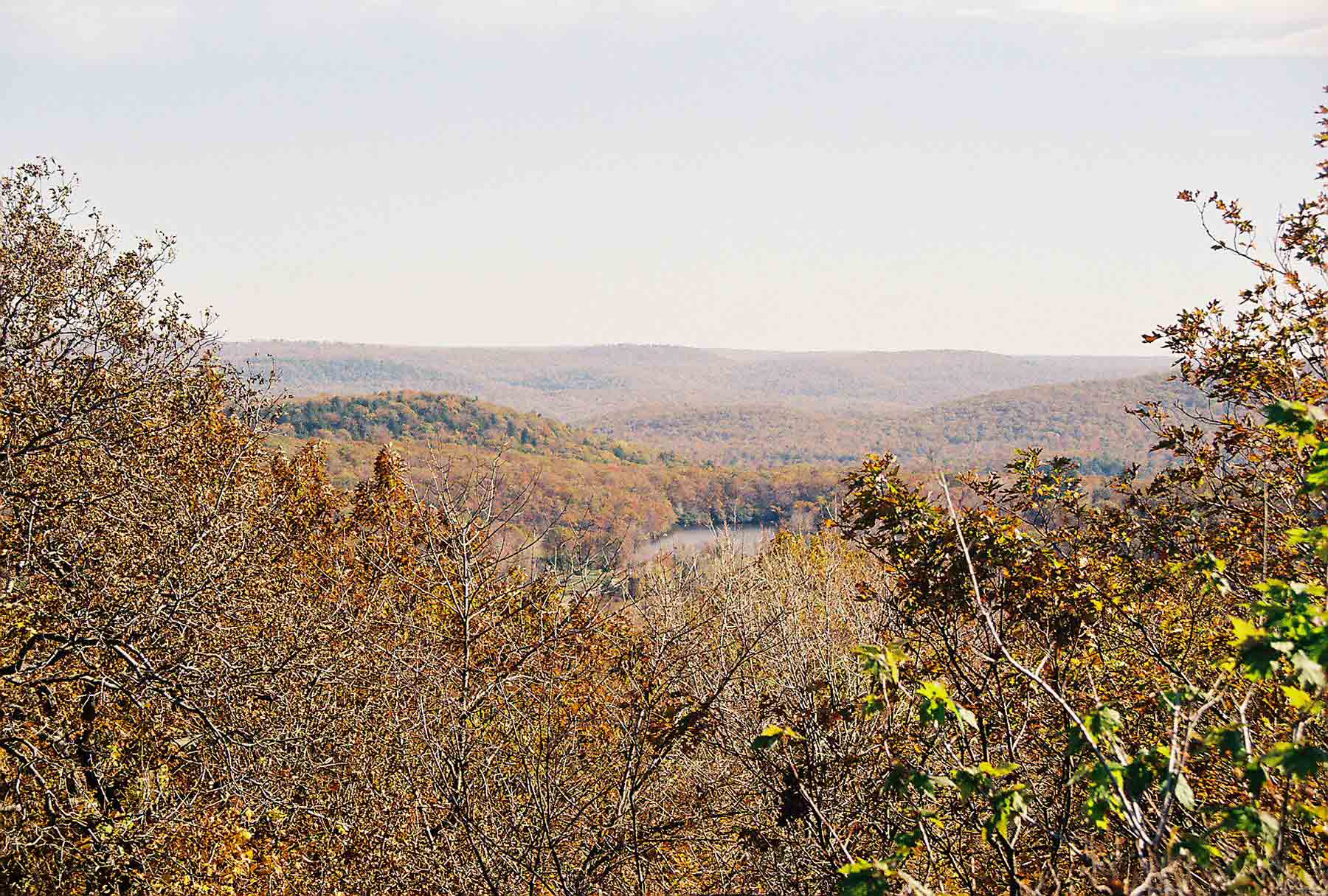
mm 6.1 - View from Mombasha High Point
Submitted by dlcul @ conncoll.edu
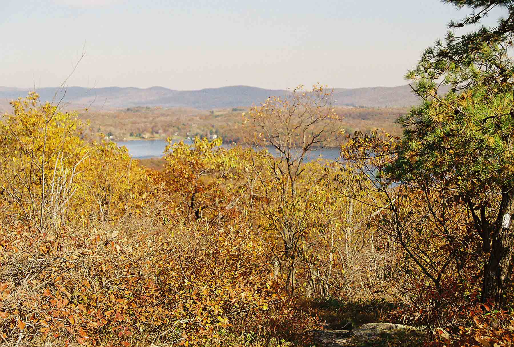
mm 6.1 - View from Mombasha High Point
Submitted by dlcul @ conncoll.edu
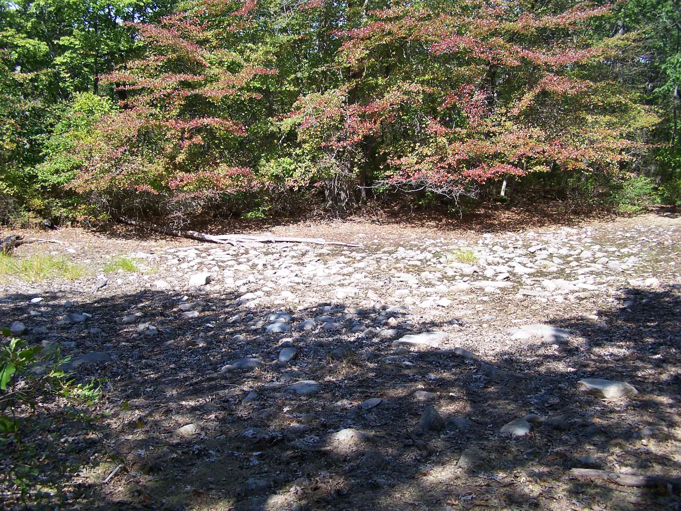
Small dried up pond along trail
Submitted by at @ rohland.org
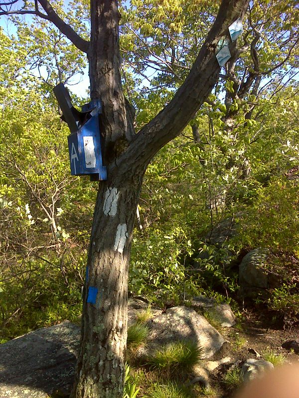
mm 6.9 Junction with the blue-blazed Allis Trail. The northbound teal-blazed Highlands Trail follows the Allis trail to this point then continues along the AT towards Lakes Road. GPS N41.2693 W74.2342.
Submitted by pjwetzel @ gmail.com
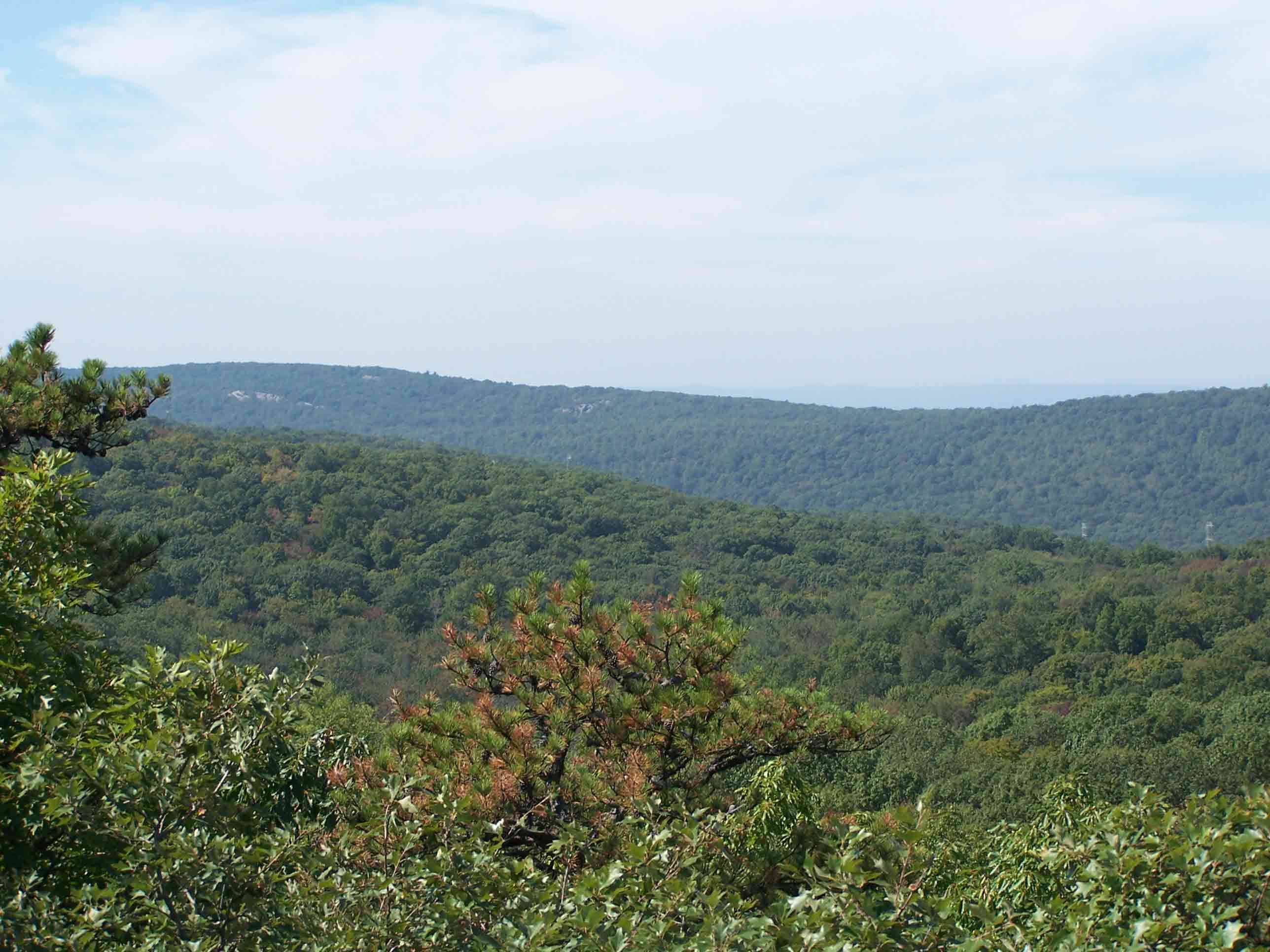
mm 6.9 - View from the beginning of the blue-blazed Allis Trail
Submitted by at @ rohland.org