NY Section 2 Pictures - Milemarker 0.0 - 1.6
Hoyt Road - Leather Hill Road
Move your mouse across the pictures for more information.

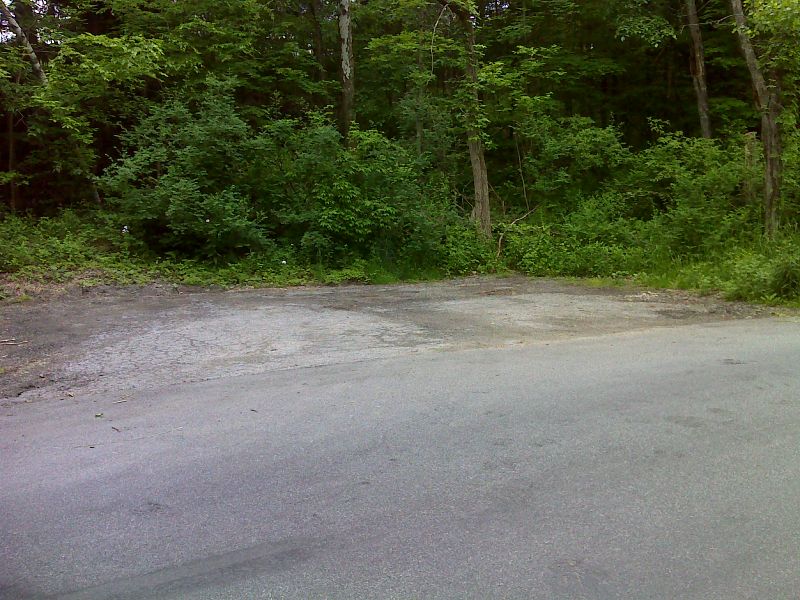
mm 0.0 Parking area on Hoyt Road. GPS N41.6410 W73.5201
Submitted by pjwetzel @ gmail.com
mm 0.7 Bridge across Duell Hollow Brook
Submitted by dlcul @ conncoll.edu
mm 0.7 Duell Hollow Brook from foot bridge
Submitted by dlcul @ conncoll.edu

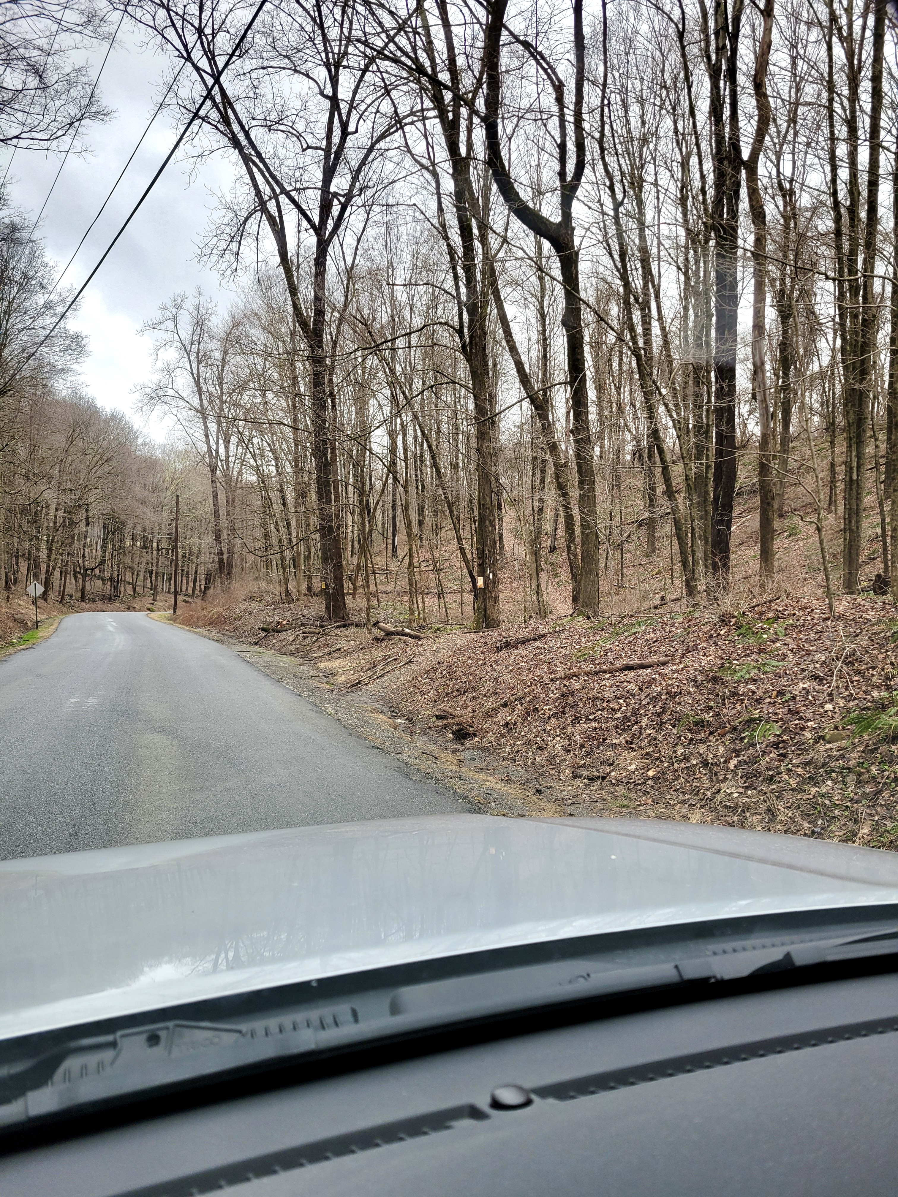
mm 1.0 Trail crosses Duell Hollow Road. Very limited if any parking here. Parking available at cemetery about 0.1 miles south. GPS N41.6371 W73.5309
Submitted by cabincellars@yahoo.com

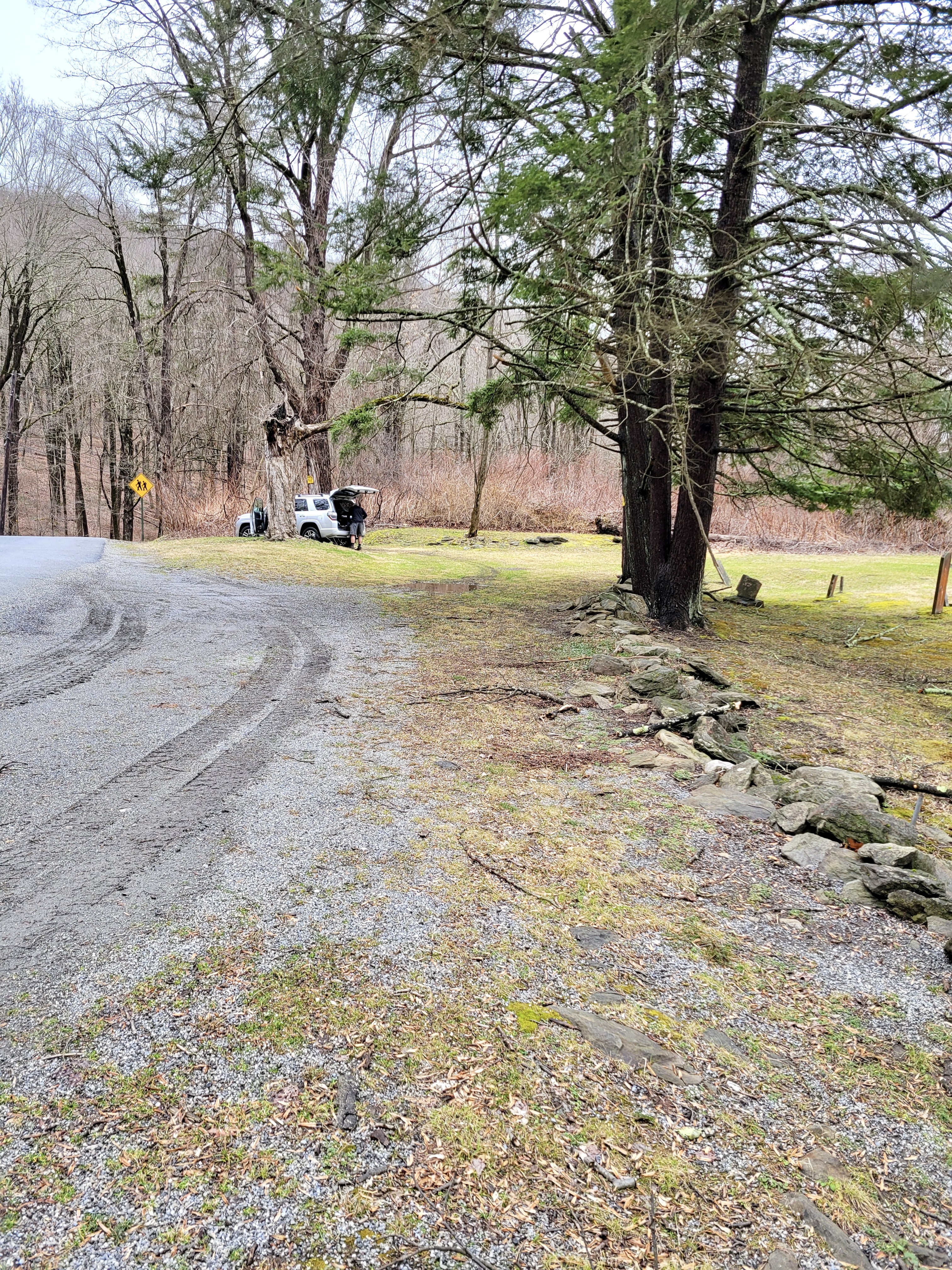
mm 1.0 Cemetery parking area 0.1 miles from trail crossing GPS N41.6371 W73.5309
Submitted by cabincellars@yahoo.com
mm 1.2 Wiley Shelter
Submitted by dlcul @ conncoll.edu
mm 1.2 Tent platform and campsite near Wiley Shelter
Submitted by dlcul @ conncoll.edu

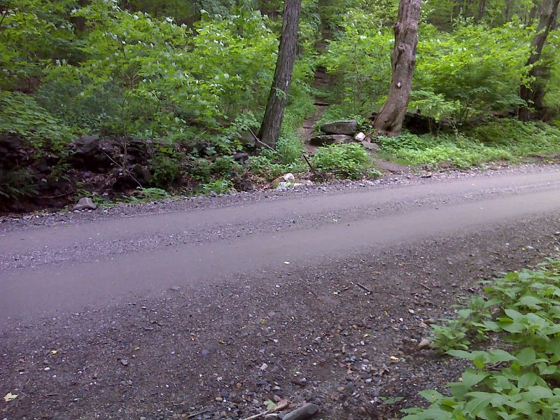
mm 1.6 Trail crosses Leather Hill Road. GPS N41.6352 W73.5370
Submitted by pjwetzel @ gmail.com