NY Section 2 Pictures - Milemarker 1.6 - 4.6
Leather Hill Road - Main PNR parking
Move your mouse across the pictures for more information.
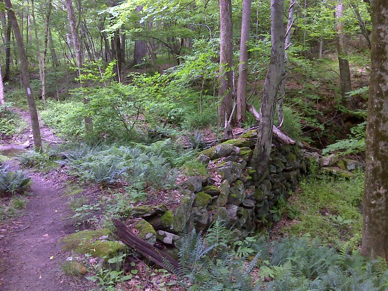
Old dam site. GPS N41.6346 W73.5413
Submitted by pjwetzel @ gmail.com
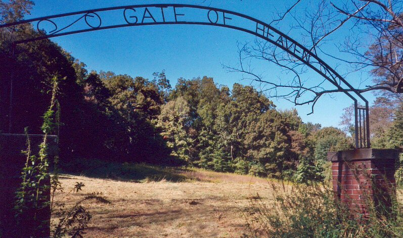
Gate of heaven cemetery from the Harlem Valley State Mental Hospistal. I did not see a single headstone though.
Submitted by rging @ charter.net
ed 1/12/08: Due to a recent relocation, the AT no longer passes this cemetery.
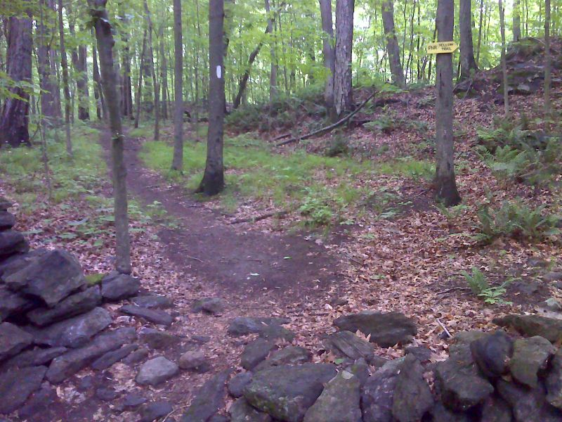
mm 3.3 Junction with Yellow Trail. This trail, which is not connected to the one further south, leads 0.7 miles to a parking area at the north entrance to the Pawling Nature Reserve. GPS N41.6246 W73.5541
Submitted by pjwetzel @ gmail.com
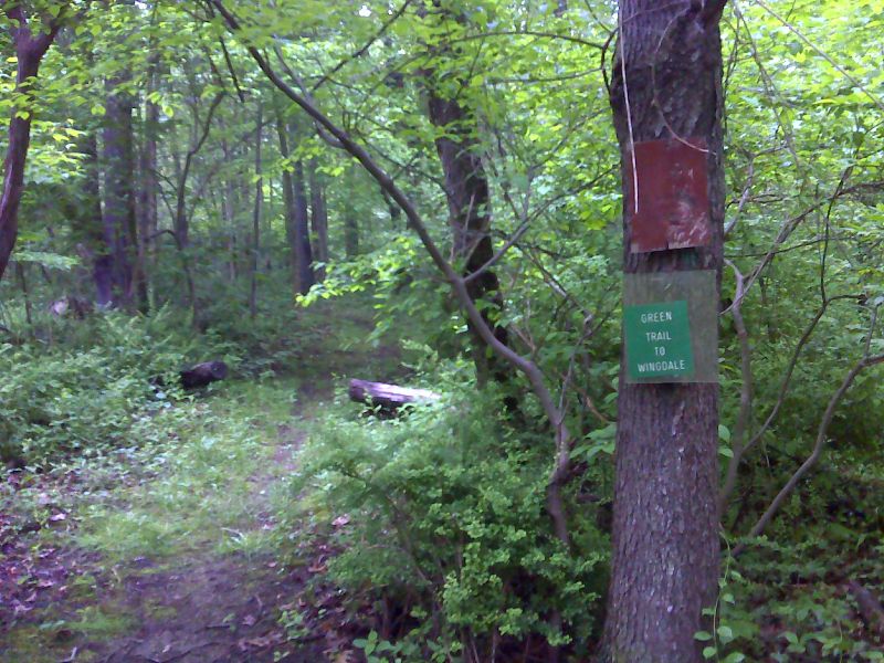
mm 4.2 Junction with Green Trail. This trail leads 1.0 miles to Sprague Street in the community of Wingdale. GPS N41.6166 W73.5629
Submitted by pjwetzel @ gmail.com
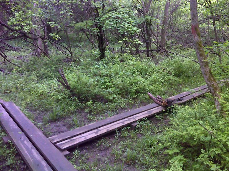
Puncheon Junction. The Red Trail of the Pawling Nature Reserve crosses. GPS N41.6162 W73.5641
Submitted by pjwetzel @ gmail.com
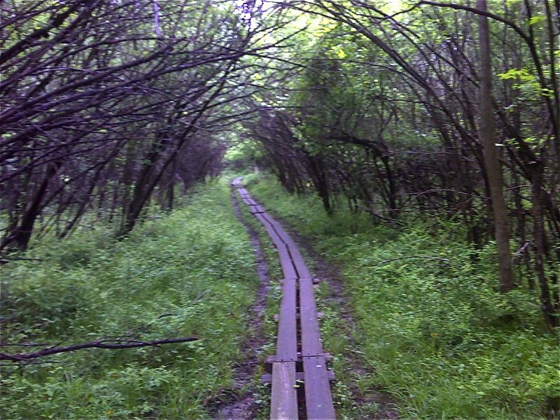
mm 4.4 Long section of puncheon over a swampy area. GPS N41.6157 W73.5641
Submitted by pjwetzel @ gmail.com
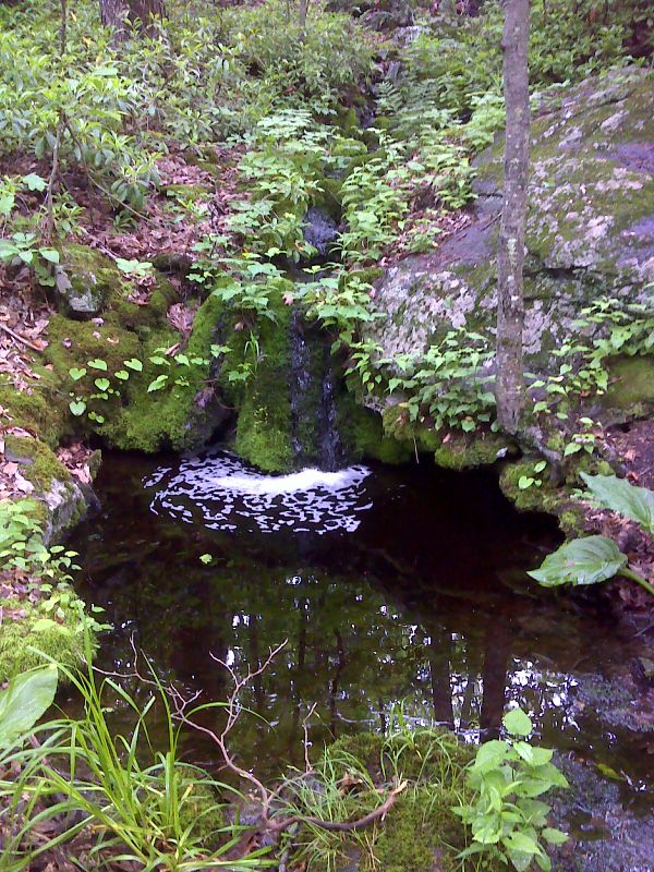
Pretty little water feature. GPS N41.6116 W73.5623
Submitted by pjwetzel @ gmail.com
Parking area at main entrance for Pawling Nature Preserve. From here a yellow-blazed trail leads 0.5-0.6 miles to the AT mm 4.6. Alternatively one can follow the yellow trail for 0.2 mile, then a red-blazed trail for 0.9 mile to meet the AT at mm 4.2.
Submitted by dlcul @ conncoll.edu