NY Section 3 Pictures - Milemarker 3.1 - 5.3
Telephone Pioneers Shelter - North Junction Nuclear Lake Loop
Move your mouse across the pictures for more information.
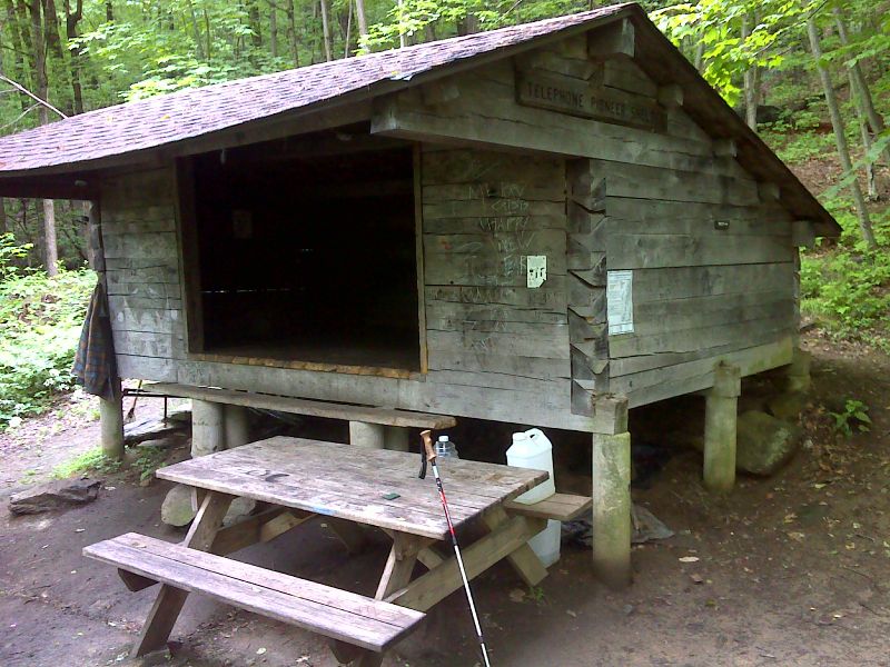
mm 3.1 Telephone Pioneers Shelter. GPS N41.6039 W73.6188
Submitted by pjwetzel @ gmail.com
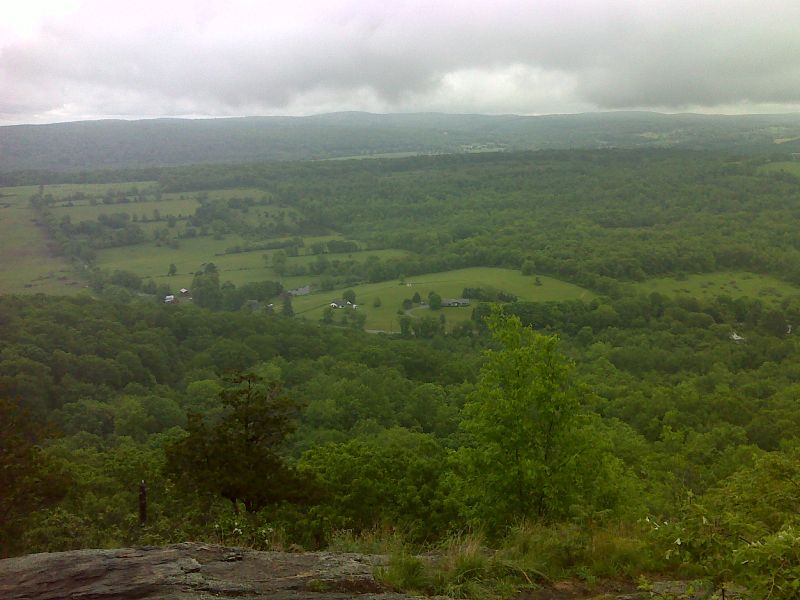
mm 3.3 View from Cat Rocks viewpoint near the summit of West Mt. This view is to the east. The nearest ridge is Corbin Hill. Much of the northbound route of the AT from here to Connecticut can be seen. GPS N41.6069 W73.6184
Submitted by pjwetzel @ gmail.com
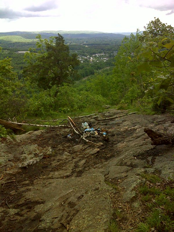
mm 3.4 Grab some Buds. There is a great view from this ledge, which is the highest point the trail reaches on West Mountain. It is unfortunately spoiled by trash left behind by partiers (May 2012). GPS N41.6071 W73.6186
Submitted by pjwetzel @ gmail.com
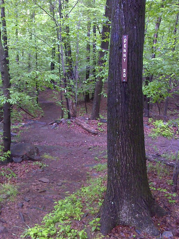
mm 3.9 Crossing of Penny Road, a woods road. There is parking 0.2 miles to the west. GPS N41.6096 W73.6273
Submitted by pjwetzel @ gmail.com
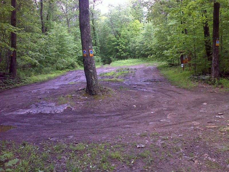
mm 3.9 Parking area for Penny Road. GPS N41.6119 W73.6276
Submitted by pjwetzel @ gmail.com

mm 4.1 Eagle Scout bridge across swamp. GPS N41.6097 W73.6303
Submitted by pjwetzel @ gmail.com
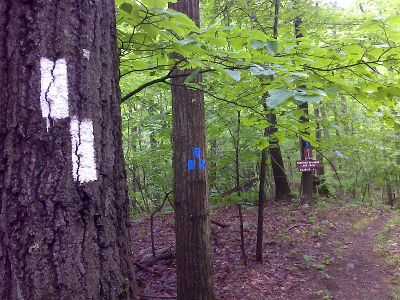
mm 4.9. North Junction with the blue-blazed Beekman Uplands Trail. This is an old route of the AT. It rejoins the current route at mm 7.3. GPS N41.6077 W73.6249
Submitted by pjwetzel @ gmail.com
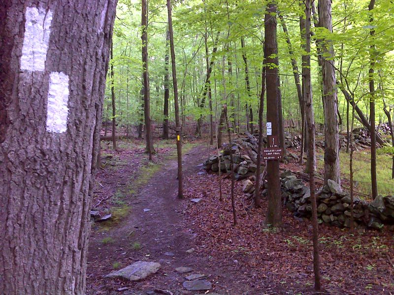
mm 5.3 Junction with north end of the yellow blazed Nuclear Lake Loop. GPS N41.6030 W73.6438
Submitted by pjwetzel @ gmail.com