NY Section 3 Pictures - Milemarker 5.3 - 7.1
North end of Nuclear Lake - South of Nuclear Lake
Move your mouse across the pictures for more information.

North end of Nuclear Lake. GPS N41.6101 W73.6457
Submitted by pjwetzel @ gmail.com
mm 5.8 - Nuclear Lake. This area was the site of a United Nuclear Company facility. The area was purchased by the National Park Service for the AT but relocation here was delayed for several years because of stories about some sort of incident which resulted in the area becoming unacceptably radioactive. After extensive (and expensive) testing, these rumors were found to be false and the area was deemed safe.
Submitted by dlcul @ conncoll.edu
mm 5.8 - Another view of Nuclear Lake
Submitted by dlcul @ conncoll.edu
mm 5.8 Parking area for the road to Nuclear Lake. From here it is about a mile to Nuclear Lake following the now gated entrance road to the United Nuclear Facility that was at the lake.
Submitted by dlcul @ conncoll.edu

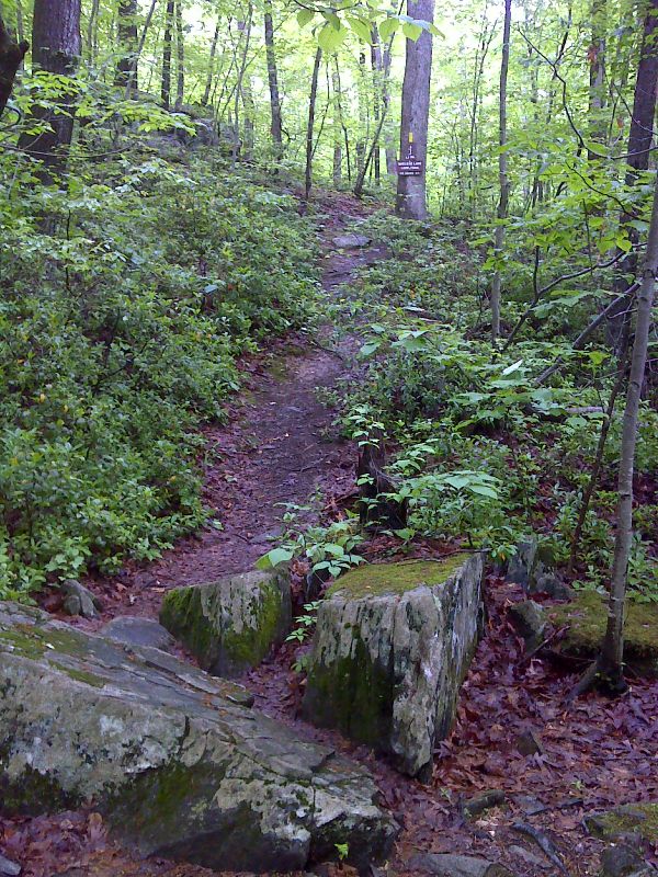
mm 6.1 Junction with south end of the yellow blazed Nuclear Lake Loop. GPS N41.5947 W73.6497
Submitted by pjwetzel @ gmail.com

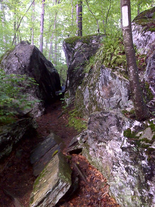
mm 6.1 The Nuclear Squeeze (not an official name). GPS N41.5947 W73.6496
Submitted by pjwetezel @ gmail.com
Along the trail between Nuclear Lake and NY 55
Submitted by dlcul @ conncoll.edu

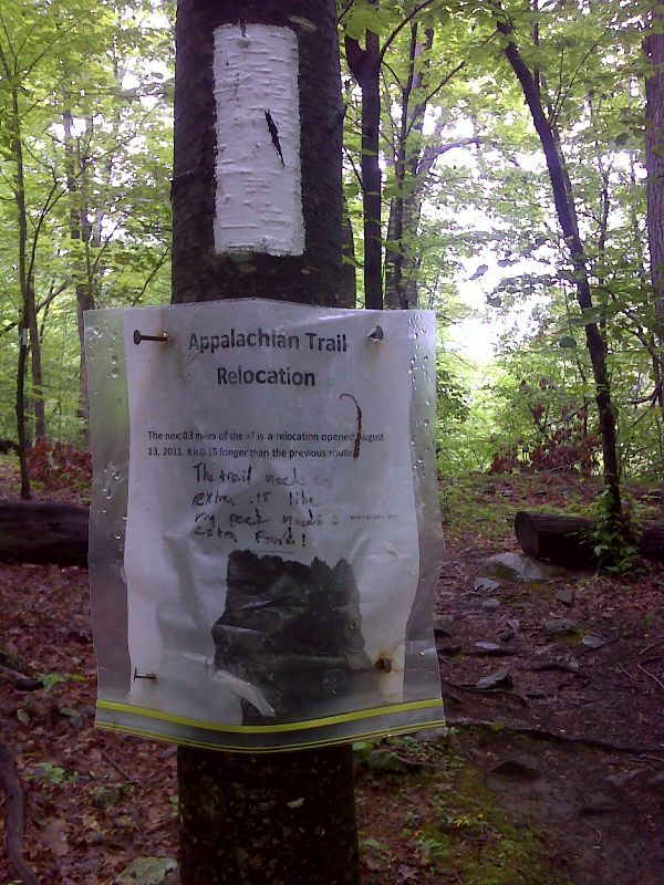
South end of 2011 relocation. 0.3 miles of trail replaces 0.15 miles. GPS N41.5943 W73.6549
Submitted by pjwetzel @ gmail.com