NY Section 3 Pictures - Milemarker 7.3 - 7.4
Power Line - South End Beekman Uplands Trail
Move your mouse across the pictures for more information.

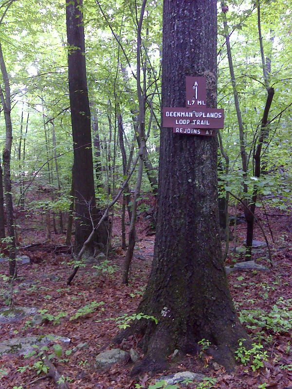
mm 7.3 South end of Beekman Uplands Trail, an old route of the AT. It rejoins the current route at mm 4.9 GPS N41.5924 W73.6586
Submitted by pjwetzel @ gmail.com

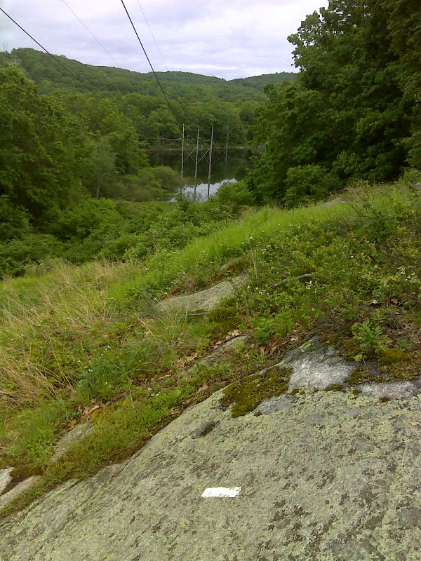
mm 7.4 Power line clearing north of NY 55. GPS N41.5898 W73.6580
Submitted by pjwetzel @ gmail.com

mm 7.4 Side trail lead a short distance to the parking area on NY 55. GPS N41.5906 W73.6581
Submitted by pjwetzel @ gmail.com
AT parking lot on NY 55. This parking lot is reached by a short blue-blazed access trail which meets the AT at MM 7.4.
Submitted by dlcul @ conncoll.edu