NY Section 5 Pictures - Milemarker 0.0 - 4.7
US 52 - Rockledge Road
Move your mouse across the pictures for more information.

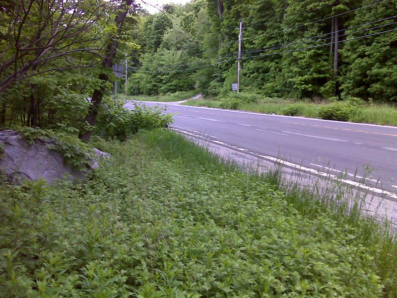
mm 0.0 AT crossing of US 52. The driveway on the right is the entrance to the parking area (See NY Section 4). GPS N41.5406 W73.7331
Submitted by pjwetzel @ gmail.com
The trail maintainers have arranged some of the rocks in this section to form this nice rock bench on Stormville Mountain. Taken at approx. MM 0.6.
Submitted by dlcul @ conncoll.edu

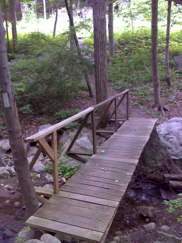
mm 1.6 Footbridge just before the southbound trail reaches Hosner Mountain Road. GPS N41.5409 W73.7526
Submitted by pjwetzel @ gmail.com

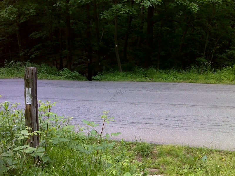
mm 1.6 AT crossing of Hosner Mountain Road. GPS N41.5409 W73.7527
Submitted by pjwetzel @ gmail.com
View to the east from Hosner Mt. ridge. This view is at about Mile 2.1 of the section.
Submitted by dlcul @ conncoll.edu
View to the west over the Hudson River Valley from the view point near the high point of the AT on Hosner Mt. (Mile 3.2)
Submitted by dlcul @ conncoll.edu
View to the southwest over the Hudson River Valley from the view point near the high point of the AT on Hosner Mt. (Mile 3.2).
Submitted by dlcul @ conncoll.edu
View to the northwest over the Hudson River Valley from the view point near the high point of the AT on Hosner Mt. (Mile 3.2)
Submitted by dlcul @ conncoll.edu

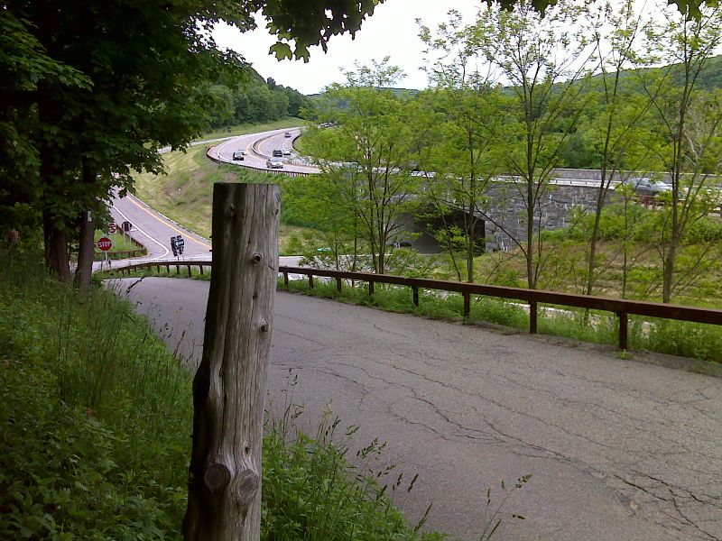
mm 4.7 The southbound trail reaches Rockledge Road. The trail continues down this road to the stop sign, turns right on Miller Hill Road and goes under the Taconic State Parkway. GPS N41.5127 W73.7871
Submitted by pjwetzel @ gmail.com