NY Section 9 Pictures - Milemarker 1.9 - 4.3
Curry Pond Trail - Viewpoint South of Hemlock Springs Campsite
Move your mouse across the pictures for more information.
mm 1.9 Intersection of the AT with the Curry Pond trail
Submitted by dlcul @ conncoll.edu
mm 1.9 Parking at the Manitoga preserve. From here trail lead to intersections with the AT at mm 1.9 and 2.4.
Submitted by dlcul @ conncoll.edu
mm 2.4 Southern Junction with the blue-blazed Osborn Loop Trail. In this view this leads straight ahead while the southbound At goes to the left.
Submitted by dlcul @ conncoll.edu
mm 3.4 - A 2-3 car lot and a wide shoulder is available for parking where the AT crosses South Mountain Pass Road (on the southern side on the road). About 3.4 miles from US9.
Submitted by froto
mm 3.4 Leaving South Mountain Pass Road, the southbound AT follows this old road for a short distance.
Submitted by dlcul @ conncoll.edu
mm 3.6 The AT crosses a fairly open area in what may have been a field or homesite. Nearby one can see the stone embankment of an old road.
Submitted by dlcul @ conncoll.edu

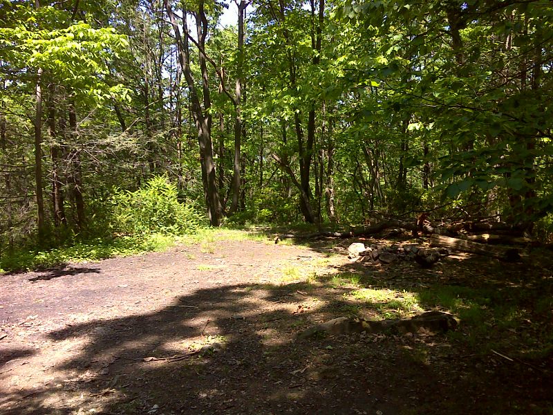
mm 3.6 Hemlock Springs Campsite. GPS N 41.3279 W 73.9557
Submitted by pjwetzel @ gmail.com
Once the southbound trail regains the ridge line, there is this view to the north up the Hudson River. Taken at approx. mm 4.3.
Submitted by dlcul @ conncoll.edu