PA Section 1 Pictures - Milemarker 0.7 - 1.7
Fire Road - Lookout Rock
Move your mouse across the pictures for more information.
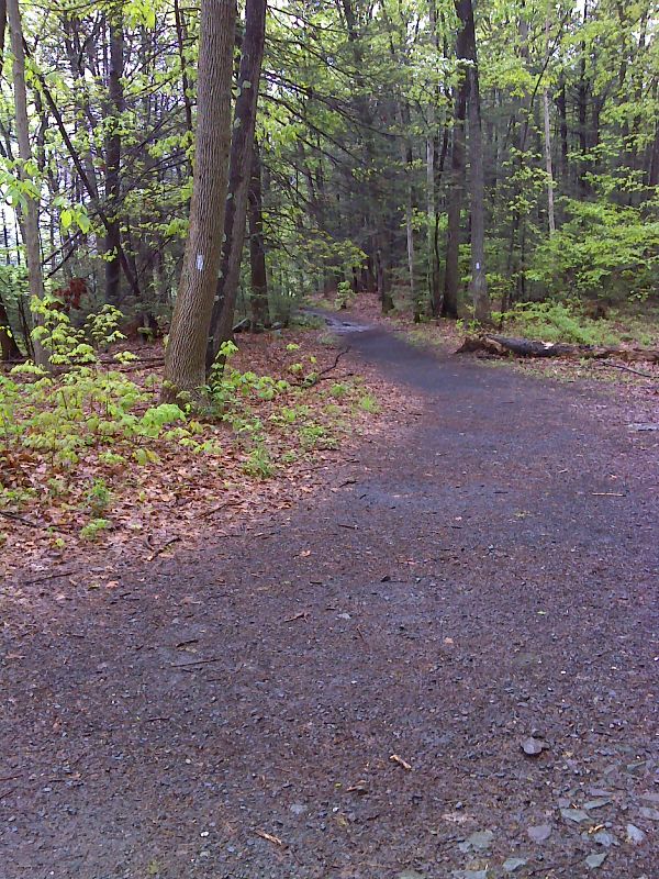
mm 0.7 The southbound AT leaves the fire road. GPS N40.9760 W 75.1398
Submitted by pjwetzel @ gmail.com
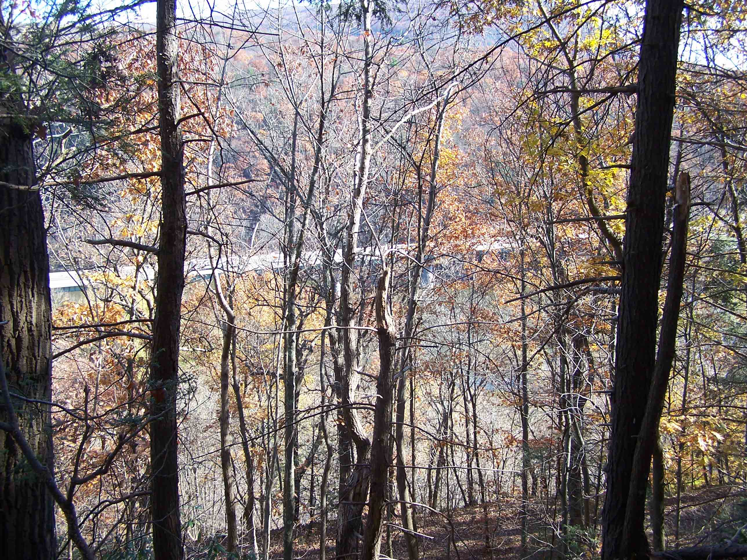
mm 0.8 - View of AT trail over the Delaware River
Submitted by at @ rohland.org
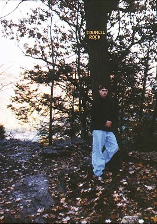
Council Rock - mile 0.9. When this picture was taken, Jesse was attending Council Rock H.S.
Submitted by at @ rohland.org
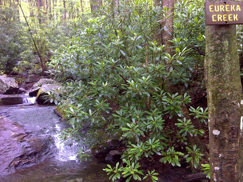
mm 1.5 Eureka Creek GPS N40.9677 W 75.1370
Submitted by pjwetzel @ gmail.com
mm 1.7 - View of Mt. Tammany and Delaware Water Gap from Lookout Rock on north side of Mt. Minsi
Submitted by dlcul @ conncoll.edu
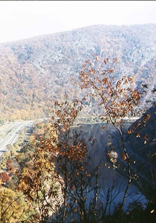
Interstate 80 at Delaware Water Gap from Lookout Rock (MM 1.7)
Submitted by at @ rohland.org
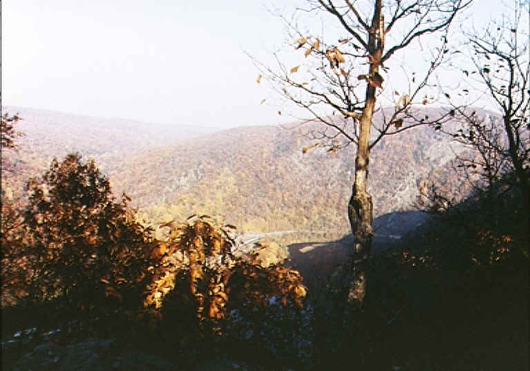
I-80 at Delaware Water Gap from Lookout Rock (MM 1.7)
Submitted by at @ rohland.org
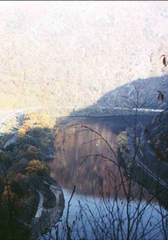
Delaware River at Delaware Water Gap from Lookout Rock (MM 1.7)
Submitted by at @ rohland.org