PA Section 10 Pictures - Milemarker 1.5 - 2.5
Conodoguinet Creek - Pondside Picnic Area
Move your mouse across the pictures for more information.
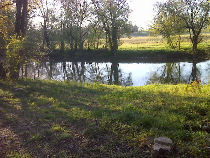
Conodoguinet Creek at pipeline crossing. GPS N40.2702 W 77.1005
Submitted by pjwetzel @ gmail.com
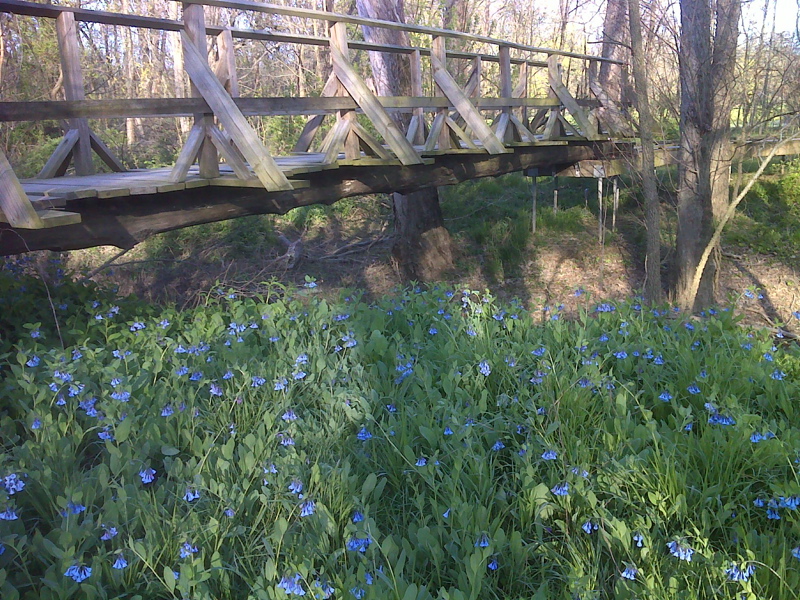
Footbridge over tributary to Conodoguinet Creek. GPS N40.2650 W 77.1037
Submitted by pjwetzel @ gmail.com
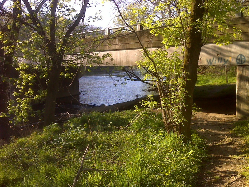
mm 2.0 AT goes under Bernhisel Rd bridge, loops around and crosses it. GPS N40.2601 W 77.1034
Submitted by pjwetzel @ gmail.com
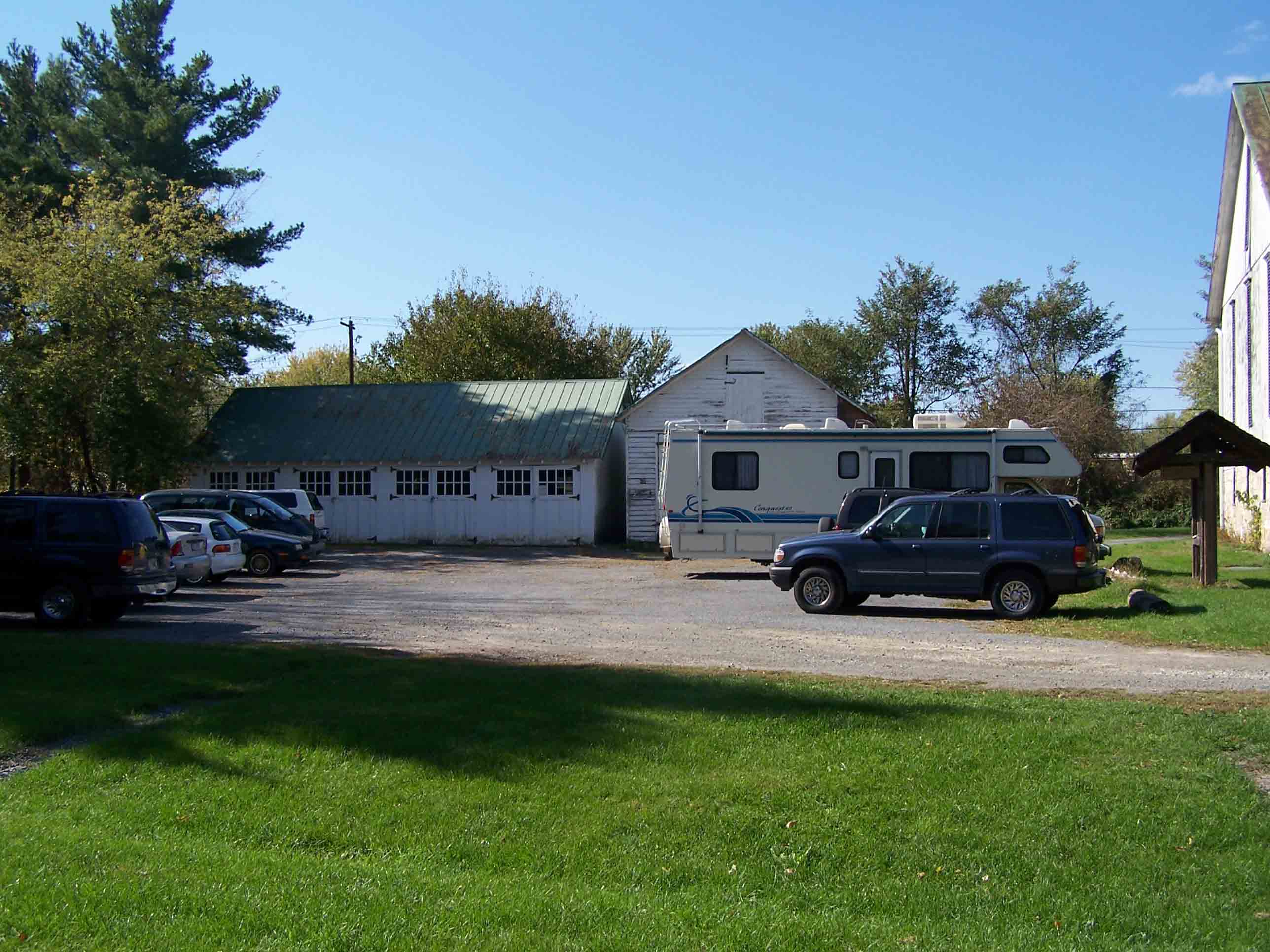
mm 2.0 Parking area at Scott Farm
Submitted by at @ rohland.org
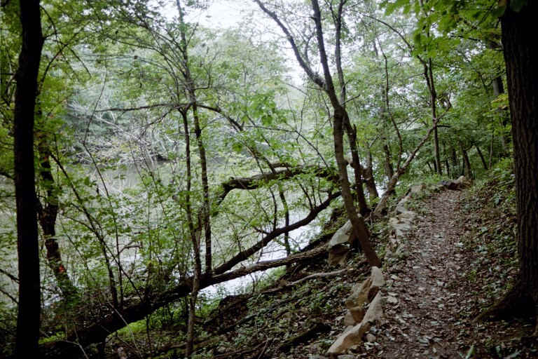
AT near Scott Farm Trail Work Center
Submitted by at @ rohland.org
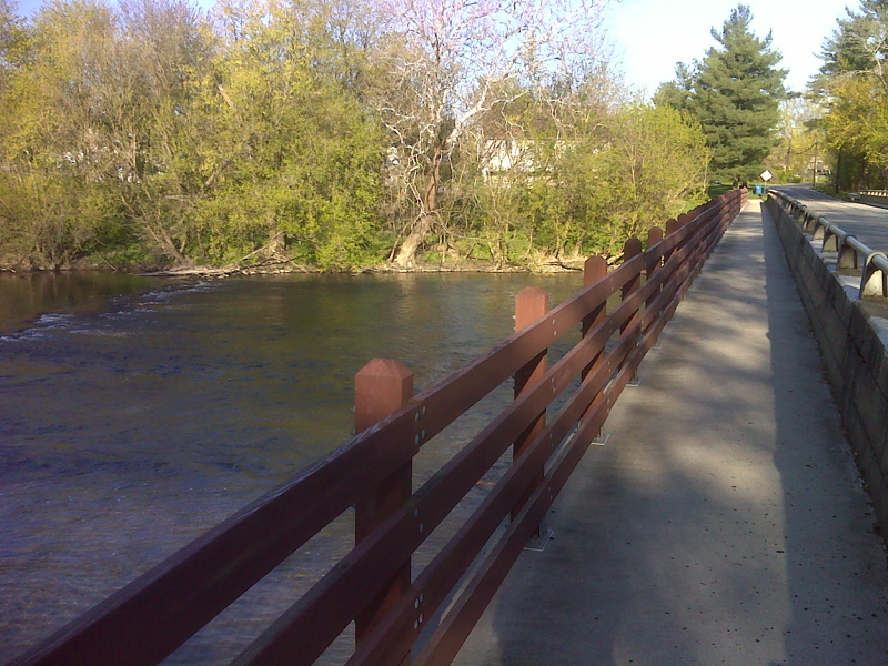
mm 2.0 Retro-fitted dedicated AT crossing of Conodoguinet Creek on Bernhisel Bridge. GPS N40.2597 W 77.1025
Submitted by pjwetzel @ gmail.com
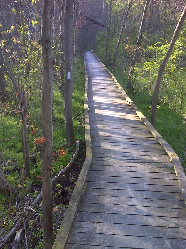
Handicapped accessible elevated walkway along Conodoguinet Creek. GPS N40.2590 W 77.1022
Submitted by pjwetzel @ gmail.com
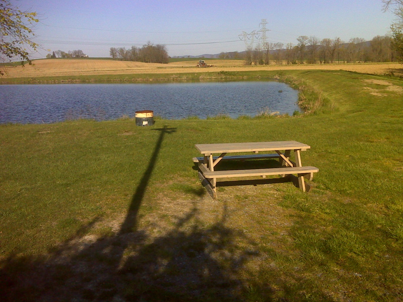
Pondside picnic area on side trail 100 yards from AT. GPS N40.2513 W 77.1045
Submitted by pjwetzel @ gmail.com