PA Section 10 Pictures - Milemarker 6.5 - 8.2
Old Stonehouse Road - Trindle Roa
Move your mouse across the pictures for more information.
About one tenth of a mile west of where the AT crosses Old Stonehouse Road is the intersection of the latter with Appalachian Drive. Although parking on either of these roads is either illegal or unsafe, doing a drop off here would be a far better choice than doing so right at the trail
Submitted by MalteseCross @ Comcast.net
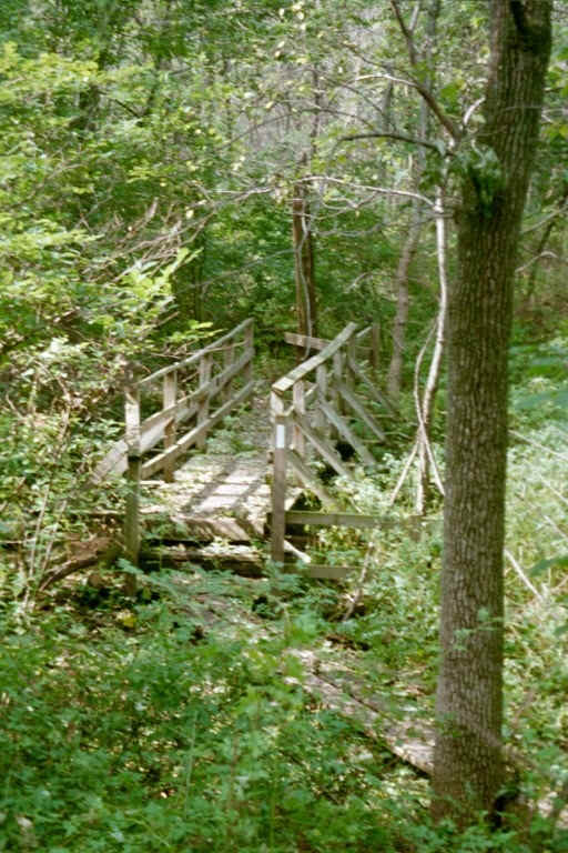
Stream bridge
Submitted by at @ rohland.org
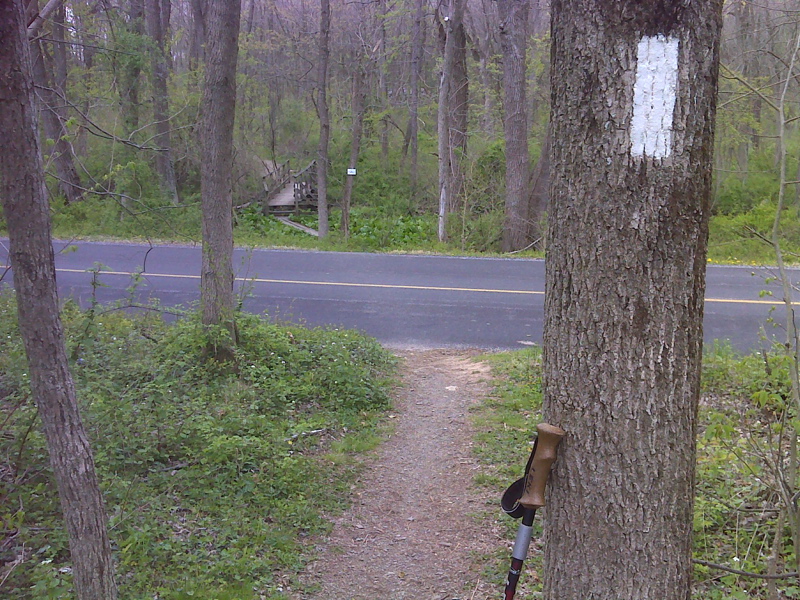
mm 7.1 Trail crossing of Ridge Road. GPS N40.2073 W 77.1129
Submitted by pjwetzel @ gmail.com
Link to pictures of New Trindle Road parking lot constuction.
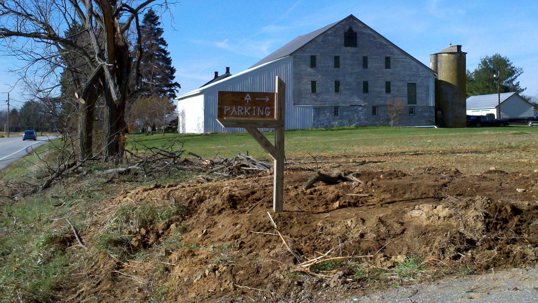
Picture of the new AT parking sign at Trindle Road (PA route 641), between Carlisle and Mechanicsburg
Submitted by cvatclub @ gmail.com
The parking lot at Route 641 / Trindle Road
Submitted by MalteseCross @ Comcast.net
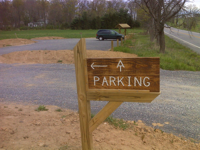
mm 8.2 New parking area on Trindle Road. Picture taken in April 2012. GPS N40.1950 W 77.1093
Submitted by pjwetzel @ gmail.com
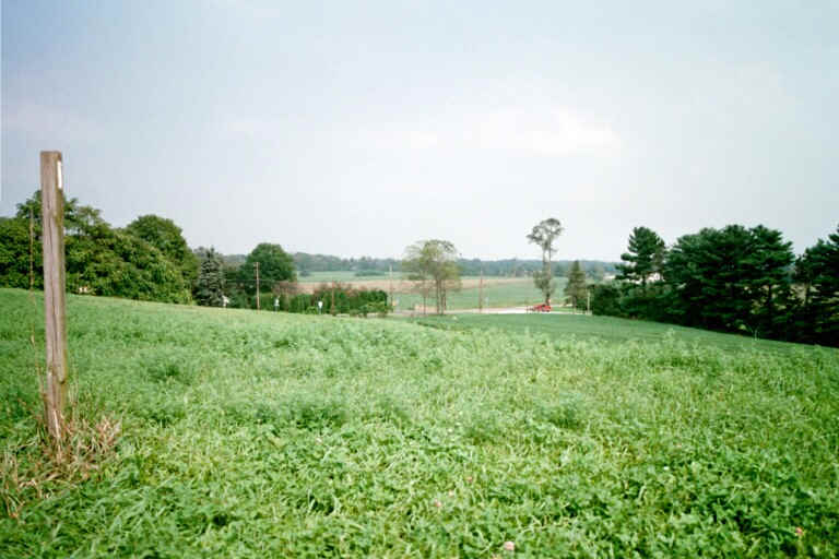
mm 8.2 AT near Trindle Road
Submitted by at @ rohland.org
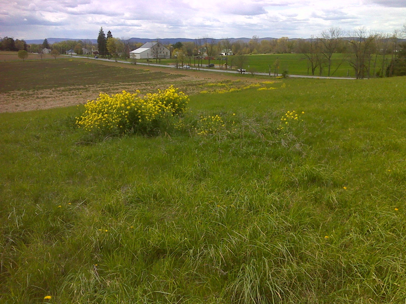
The northbound trail approaches Trindle Road. Picture taken in April 2012. Many of the trees seen in the previous picture appear to have been removed. The new parking area is visible in this picture GPS N40.1938 W 77.1066
Submitted by pjwetzel @ gmail.com