PA Section 11 Pictures - Milemarker 0.3 - 1.1
Iron Work Parking - Ledhigh Road
Move your mouse across the pictures for more information.
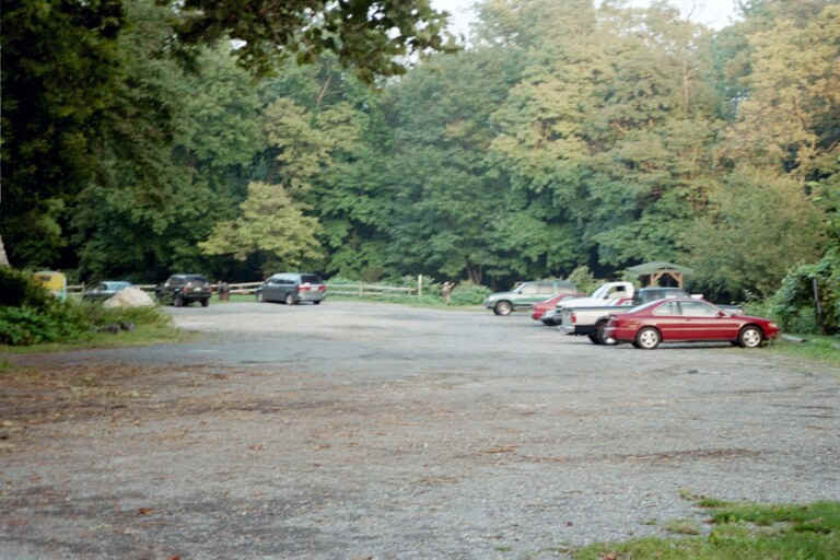
mm 0.3 - Parking at Boiling Springs Park - Iron Works parking is off of Bucher Hill Rd. This lot is now paved.
Submitted by at @ rohland.org
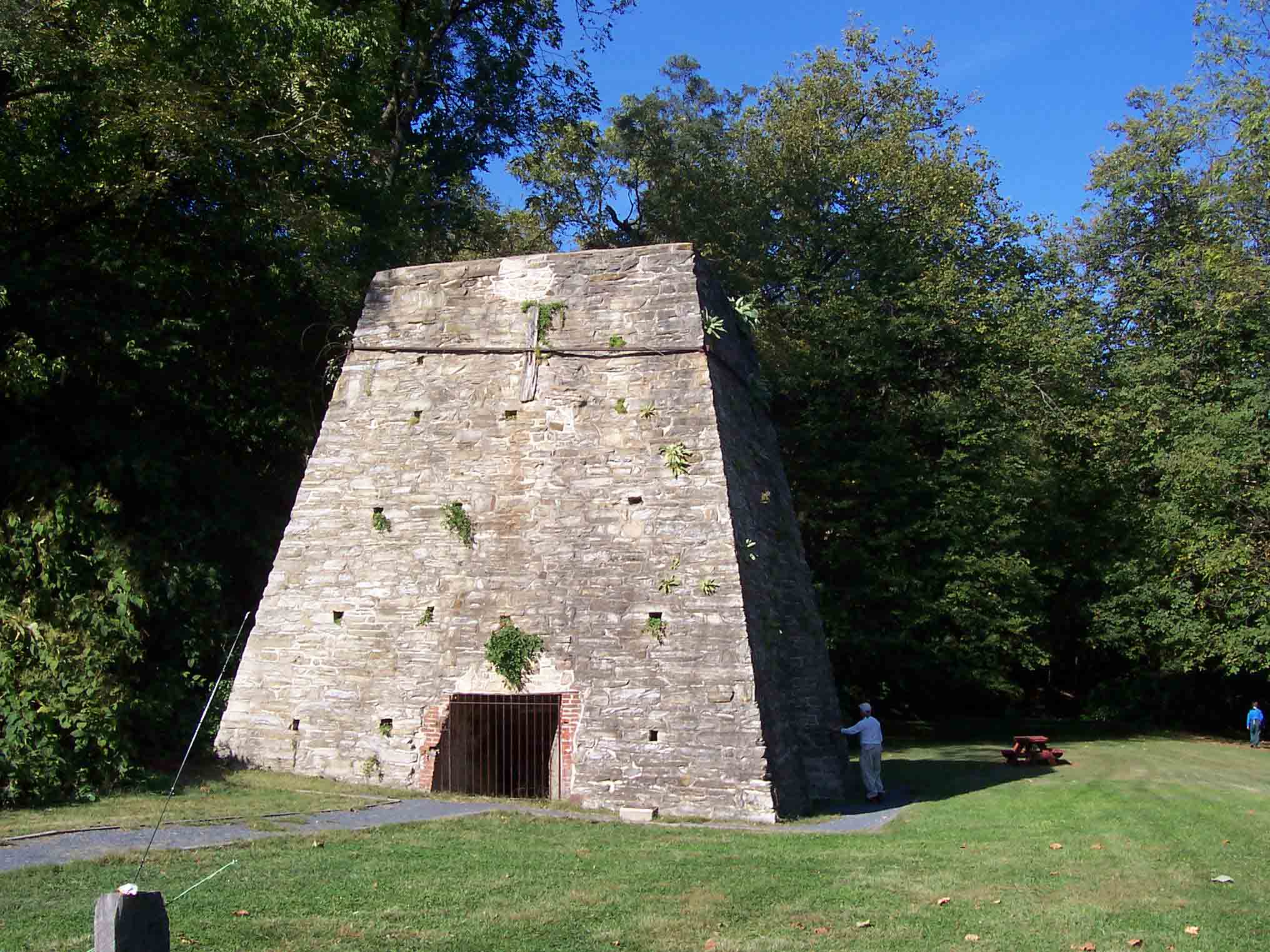
mm 0.3 - Iron Furnance in Boiling Springs
Submitted by dlcul @ conncoll.edu
mm 0.3 After going through the parking lot near the old iron furnace. the southbound trail crosses a footbridge across a channel of Yellow Breeches Creek.
Submitted by dlcul @ conncoll.edu
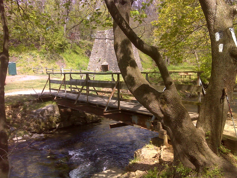
mm 0.3 View of the footbridge across a minor channel of Yellow Breeches Creek with the remains of the iron furnace in the background. GPS N40.1477 W77.1235
Submitted by pjwetzel @ gmail.com
mm 0.4 After leaving the old iron furnace parking area, the southbound trail continues through the woods on a small island to Race Street. It then follows that road across this stone arch bridge across the main channel of Yellow Breeches Creek.
Submitted by dlcul @ conncoll.edu
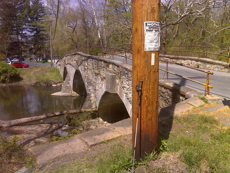
View of the west side of the stone arch bridge across the main channel of Yellow Breeches Creek. This bridge carries Race Street (and the AT) across the creek. GPS N40.1469 N77.1233
Submitted by pjwetzel@gmail.com
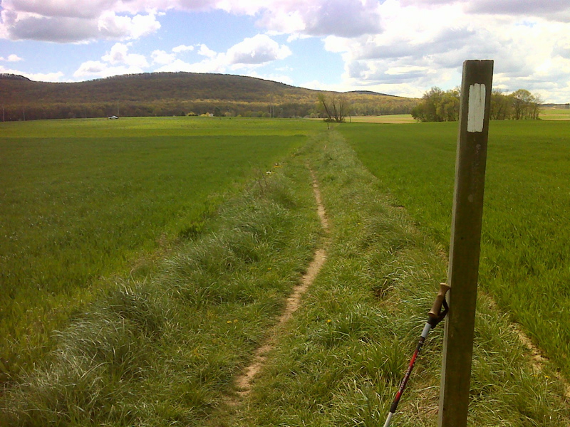
Long field walk, looking south to Leidigh Road. GPS N 40.1452 W77.1187
Submitted by pjwetzel @ gmail.com
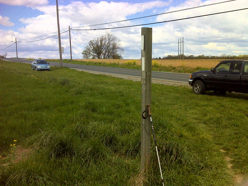
mm 1.1 Leidigh Road with wide grass shoulder on AT right-of-way, fair weather parking. GPS N 40.1413 W77.1151
Submitted by pjwetzel @ gmail.com